The instrument's own words
page 1
352
KNOW ALL MEN BY THESE PRESENTS, that we, CHARLES A. CURRIE and HAZEL L. CURRIE,
husband and wife, both of the City of North Attleboro, State of Massachusetts for con-
sideration paid grant to LEWIS A. WALKER and ALICE L. WALKER, of the City of Redlands,
State of California, husband and wife, as joint tenants and not as tenants in common
with WARRANTY COVENANTS
That certain real estate situated in the Town of Charlestown, County of Wash-
ington State of Rhode Island, and described as follows:
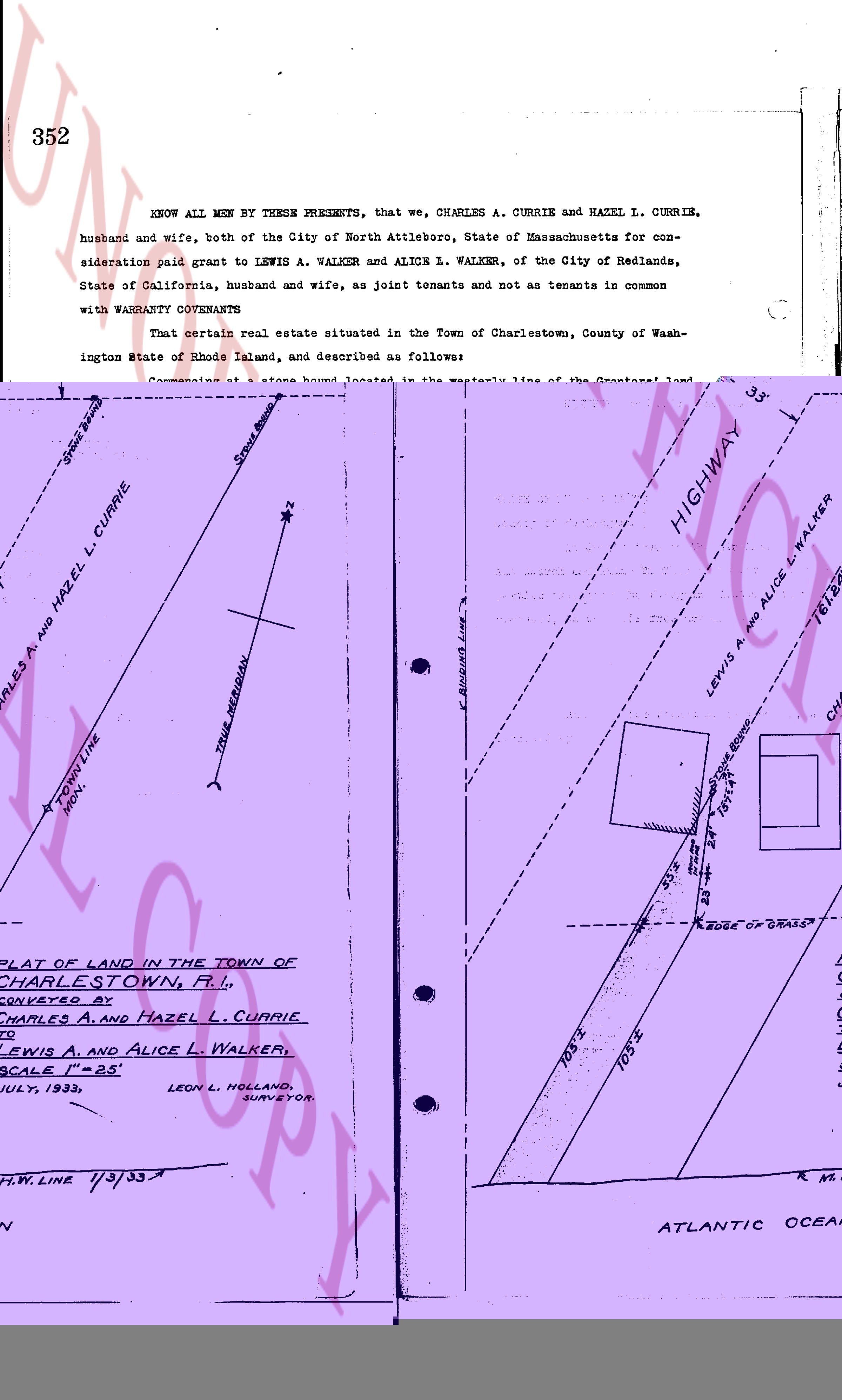
Commencing at a stone bound located in the Westerly line of the Grantors' land
and one hundred sixty-one and twenty-four hundredths (161.24) feet southerly of a stone
bound set at the northeasterly corner of Grantors' land; thence at an angle of 159° 47'
to the right and running southerly forty seven (47) feet to the edge of grass or bank;
thence southeasterly one hundred five (105) feet, more or less, on a line parallel to the
easterly line of land of the Grantors to the mean high water line in the Atlantic Ocean;
thence westerly on the mean high water line until it comes to land of the Grantees;
thence northerly along the easterly line of land of the Grantees until it comes to the
point of beginning. Bounded easterly by land of the Grantors; southerly on the Atlantic
Ocean and westerly on land of the Grantees, or however otherwise bounded.
It is agreed that no fence over 3 ft. high shall be erected on the 47' boundary
mentioned above.
WITNESS our hands this 26th day of July, 1933.
CHARLES A. CURRIE
HAZEL L. CURRIE.
STATE OF RHODE ISLAND}
}
County of Washington }
In Charlestown on the 26th day of July 1933 before me personally appeared
Charles A. Currie and Hazel L. Currie, husband and wife, to me known and known by me to
be the parties executing the foregoing instrument, and they acknowledged said instrument
by them executed to be their free act and deed.
LINTON L. BROWN
Notary Public.
Received for record September 2nd, A. D. 1933 at 3:30 o'clock, p. m., and
recorded by
[Signature]
Town Clerk.
page 2
353
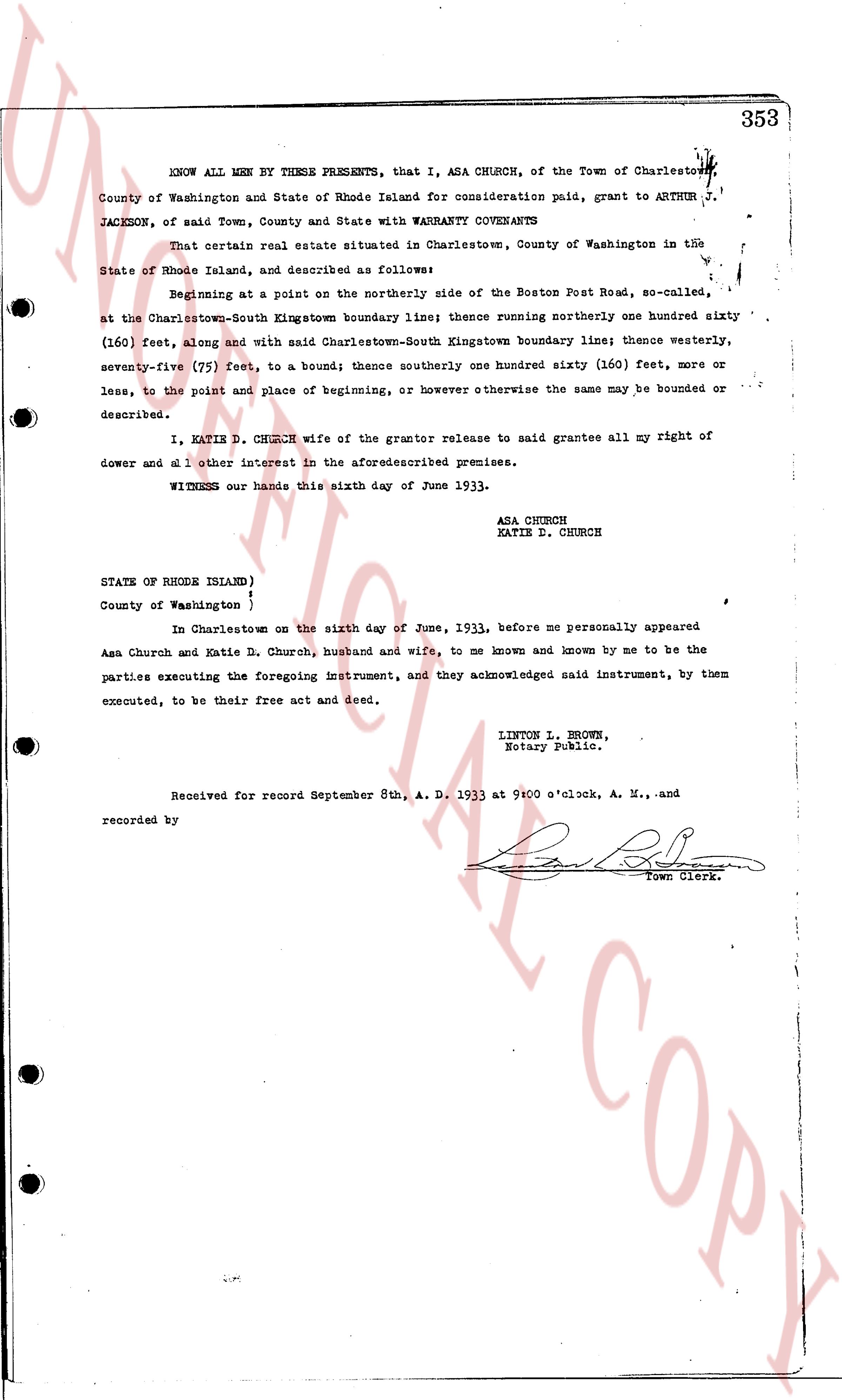
KNOW ALL MEN BY THESE PRESENTS, that I, ASA CHURCH, of the Town of Charlestown,
County of Washington and State of Rhode Island for consideration paid, grant to ARTHUR J.
JACKSON, of said Town, County and State with WARRANTY COVENANTS
50' HIGHWAY
33' HIGHWAY
LEWIS A AND ALICE L WALKER
761.8'
CHARLES A. AND HAZEL L. CURRIE
BOUND
S 24° E 149'
TOWN LINE
IRON
EDGE OF DRAIN
108'
103'
PLAT OF LAND IN THE TOWN OF
CHARLESTOWN, R.I.,
CONVEYED BY
CHARLES A. AND HAZEL L. CURRIE
TO
LEWIS A. AND ALICE L. WALKER.
SCALE 1" = 25'
JULY, 1933.
LEON L. HOLLAND,
SURVEYOR.
M.H.W. LINE 11/3/33
ATLANTIC OCEAN
The page as recorded