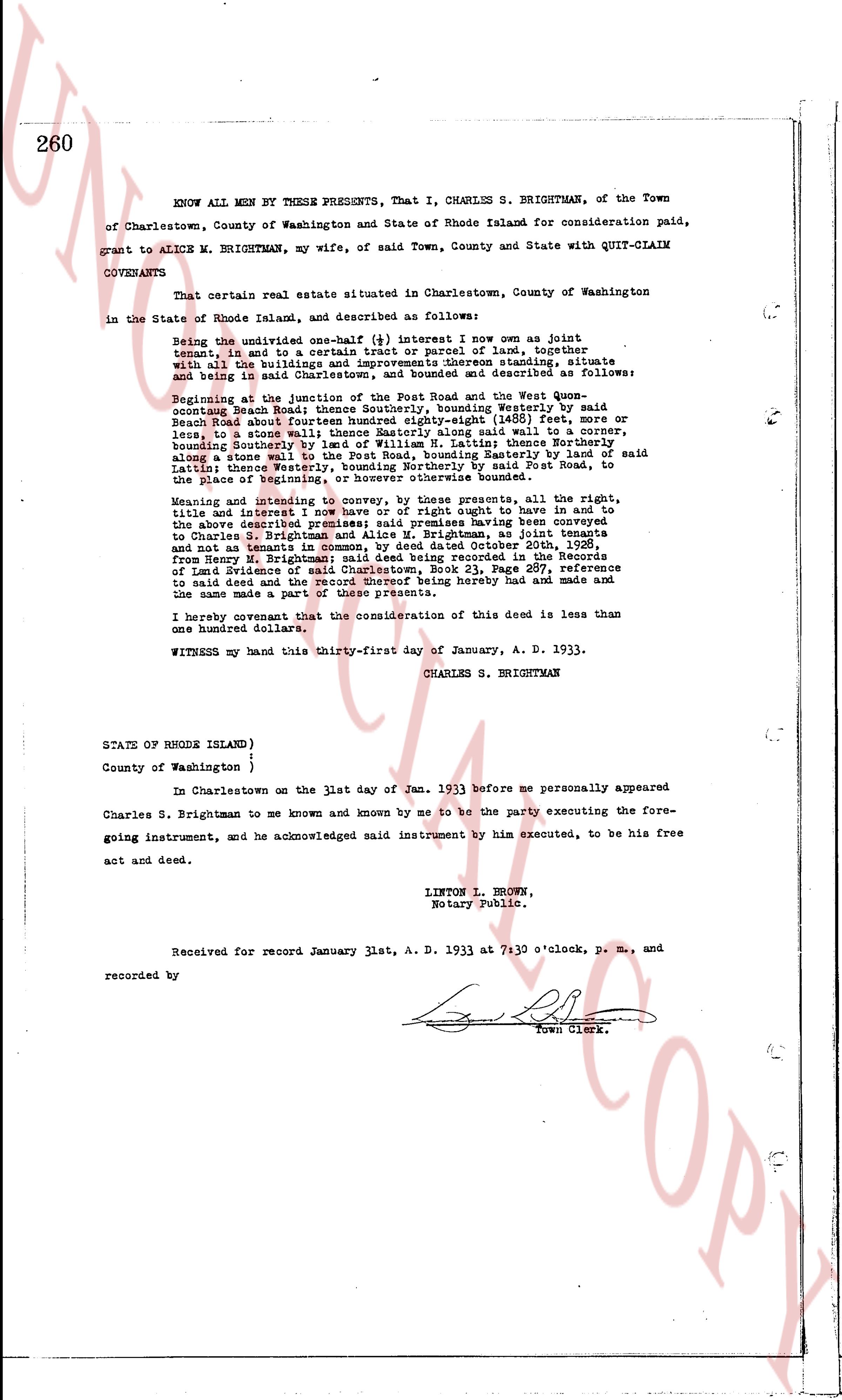
The instrument's own words
page 1
258
DISCHARGE OF MORTGAGE
Washington Trust Company, a corporation established under the laws of
the State of Rhode Island, having received full payment and satisfaction of that
certain mortgage from John Tinsanen and wife Katri Tinsanen, dated January 11,
1923 and recorded in the Records of Land Evidence in the Town of Charlestown in
the State of Rhode Island in Book 20 at page 396, does hereby release and discharge
the same. And said Washington Trust Company covenants to and with the person making
said payment, that it is the present owner of said mortgage.
IN WITNESS WHEREOF, said Washington Trust Company has caused these
presents to be executed and its corporate seal to be hereto affixed by THOMAS
PERRY, its Vice President, and EVERETT BARNES, its Treasurer, hereunto duly author-
ized this 17th day of January A. D. 1933.
WASHINGTON TRUST COMPANY
(SEAL)
By THOMAS PERRY
Vice President
EVERETT BARNES
Treasurer.
Signed and Sealed
in presence of:
ALFRED C. BAKER
Received for record January 20th, A. D. 1933, at 9:40 o'clock, a. m.,
and recorded by
[Signature]
Town Clerk.
KNOW ALL MEN BY THESE PRESENTS,
That I, JOHN HILL, (single) of the Town of Charlestown in the State of
Rhode Island, hereinafter called the Grantor, in consideration of the sum of Ten (10)
Dollars to me paid by the STATE OF RHODE ISLAND AND PROVIDENCE PLANTATIONS (acting
by and through the Metropolitan Park Commission), hereinafter called the Grantee,
the receipt whereof is hereby acknowledged, do hereby give, grant, bargain, sell and
convey unto the said Grantee, and its successors and assigns forever, in fee simple,
That tract of land situated in the Town of Charlestown and State
of Rhode Island, which is more fully described as follows: Beginning at a point on the westerly line of land of The
Chemungaconk Farm estate (as now described) from a drill hole in the wall in the boundary line between this land and the
(100) feet southerly to the north westerly corner of said drill hole
grantor's land and said estate of Chemungaconk Farm said drill hole
being at the northeasterly corner of a tract of land conveyed or
to be conveyed by said Grantor to the Chemungaconk Farm to this granite;
thence westerly at an interior angle of 95° 06' with the easterly
boundary line of said estate of Chemungaconk Farm land then easterly
forty (40) feet to the corner of stone wall running east and west
and northeast stone wall forming an angle south east and north
easterly then along said stone wall to an edge of stone wall thence
westing along said stone wall to an edge of stone wall in a line
continuation of said last described course, two hundred twenty three
(223) feet, thence easterly at an interior angle of 99° 57' 34"
and running along said stone wall two hundred thirty four 87/100
(234.87) feet to the corner of said stone wall thence westerly at an
interior angle of 181° 46' 57" with the last described course, one
hundred forty one degrees 85/100 (141.85) feet to the Pawcatuck River,
the last course being at right angles to the stone wall thence in
a general southerly direction along said Pawcatuck River and bounding
thence to the mouth of a stream running easterly thence in a general
direction along said Pougati Brook and bounding thereon to the south-
westerly corner of said estate of Chemungaconk Farm said corner
thence northerly bounding easterly on said Chemungaconk Farm land
three hundred ninety (390) feet, more or less, to an angle; thence
page 2
259
northerly at an interior angle of 179° 15' with the last de-
scribed line and bounding easterly on said The Chemunganochk
Farm land fence number four (4) rods from fence northerly
at an interior angle of 179° 05' with the last described line
and bounding easterly on said The Chemunganochk Farm land two
hundred eighty eight (288) rods thence northerly at an interior
angle of 180° 15' with the last described line one hundred
thirty four (134) rods to the point of beginning. Containing
about sixty-one acres of land.
Being a portion of the land conveyed to John Hill by deed from
Earl Fairbank, dated March 2nd, 1931 and recorded in the Records
of Land Evidence in Book 24 of Town of Charlestown at page 371.
to HAVE AND to HOLD the aforesaid premises, with all the privileges
and appurtenances thereunto belonging, unto and to the use of the said grantee, and
its successors and assigns forever in fee simple.
and I the said grantor do hereby, for myself and for my heirs, executors
and administrators, covenant with the said grantee and its successors and assigns
that I am lawfully seized in fee simple of the said grantee premises; that the
same are free from all incumbrances; that I have good right, full power and lawful
authority to sell and convey the same in manner as aforesaid; that the said grantee
and its successors and assigns shall by these presents at all times hereafter peace-
ably and quietly have and enjoy the said premises, and that I the said grantor will,
and my heirs, executors and administrators shall, warrant and defend the same to
the said grantee and its successors and assigns forever against the lawful claims
and demands of all persons.
IN WITNESS WHEREOF, I have hereunto set my hand and seal this 17th day
of January in the year of our Lord one thousand nine hundred and thirty three (1933)
Signed and Sealed
in presence of:
CHARLES J. HILL
JOHN HILL (SEAL)
(INTERNAL REVENUE STAMP, $1.00)
Approved as to form
John P. Hartigan
Attorney General
STATE OF RHODE ISLAND }
County of Washington }
In Westerly said County on the 17th day of January, A. D. 1933,
before me personally appeared the above named Grantor, John Hill, to me known and
known by me to be the party executing the foregoing instrument and acknowledged
said instrument by him executed to be his free act and deed.
CHARLES J. HILL
Notary Public.
Received for record January 20th, A. D. 1933 at 9:50 o'clock, a. m.,
and recorded by
[Signature]
Town Clerk.
The page as recorded