The instrument's own words
page 1
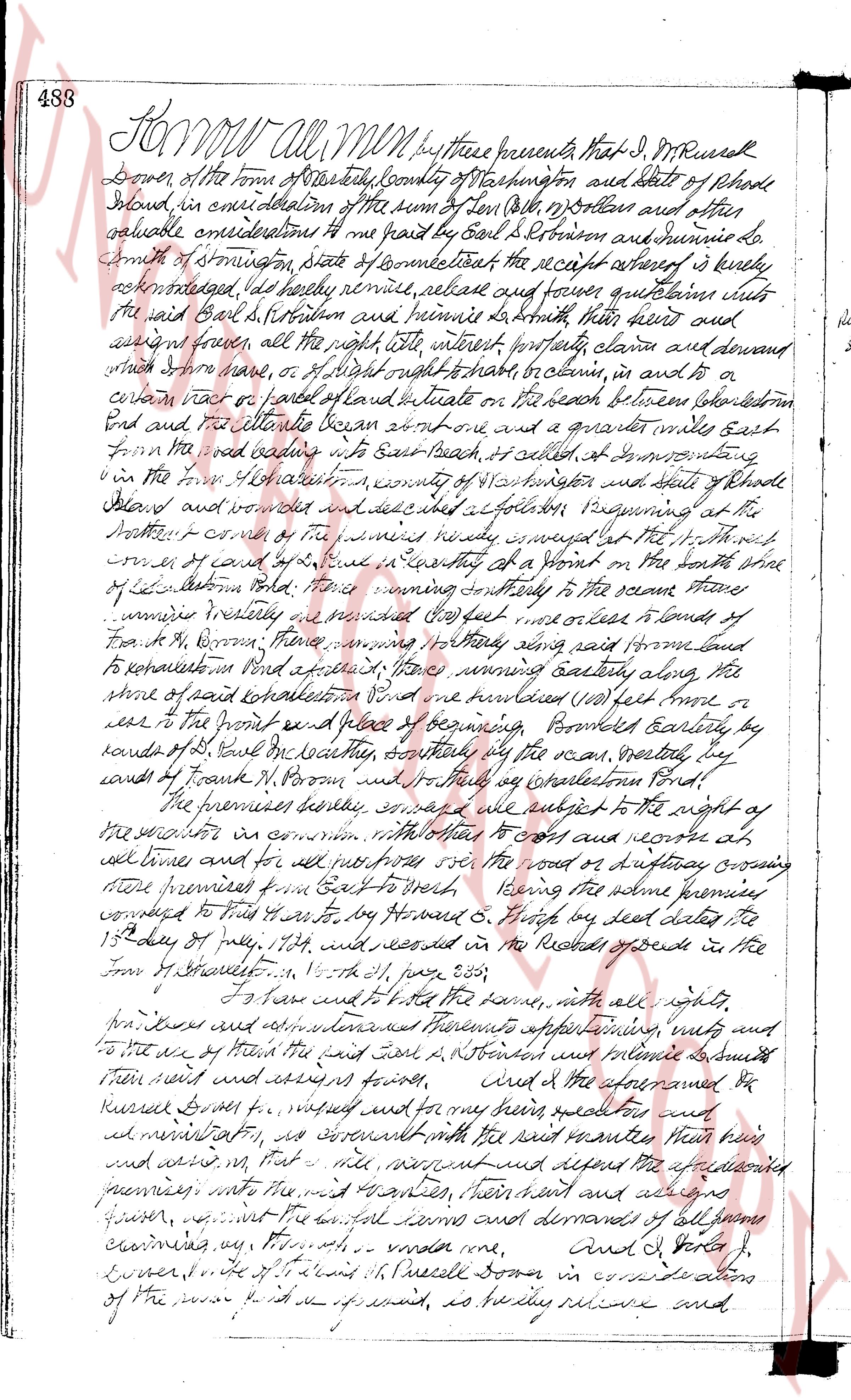
488 Know all men by these presents that I J. M. Russell
Downer of the town of East Greenwich County of Washington and State of Rhode
Island, in consideration of the sum of Ten (10) Dollars and other
valuable considerations to me paid by Earl S. Robinson and Summarie Lo.
Smith of Smithsonian State of Connecticut the receipt whereof is hereby
acknowledged, do hereby remise, release and forever quitclaim unto
the said Earl S. Robinson and Summarie Lo Smith their heirs and
assigns forever, all the right title interest property claim and demand
which I have have, or of right ought to have to claim, in and to a
certain lot or piece of land called and situate on the beach between Liskeaton
Pond and the salt water began about one and a quarter miles east
from the road leading from East beach to, situated at Newport Watering
in the town of East Greenwich county of Washington state of Rhode
Island and bounded and described as follows Beginning at the
Northwest corner of the premises nearby situated at the 1st mark
corner of canal boundary line running southeasterly at a Point on the south line
of Liskeaton Pond Thence running southeasterly to the ocean Thence
running westerly as bounded by the east line or lease lands of
Frank H. Brown Thence running northerly along said farm land
to reestablish on Pond and aforesaid 1st mark running easterly along
the shore of said Liskeaton Pond and then northwesterly (100) feet more or
less to the point of beginning Bounded easterly by
lands of J. M. Russell city Northly by the ocean Westerly by
lands of Frank H. Brown and Northerly by Liskeaton Pond
The premises hereby conveyed are subject to the right of a
the proprietors in common with reference to cost and resorts at
all times and for all purposes over the roads or highways crossing
said premises from East to West Being the same premises
conveyed to Frank H. Brown by deed dated the
15th day of July 1874 which is recorded in the Records of Deeds in the
town of East Greenwich in Vol 559 page 358
To have and to hold the same with all rights
hereditaments appurtenances improvements plantings nuts and
to the use of the said Earl S. Robinson and Summarie Lo Smith
their heirs and assigns forever, and the aforementioned
Russell Downer for myself and for my heirs executors for and
administrators do covenant with the said grantees their heirs
and assigns that they the grantees shall quietly possess defend the aforementioned
premises into the said premises their heirs and assigns
forever against the lawful claims and demands of all persons
claiming any thing through me under me And I J. Russell
Downer do sign and seal this Indenture done in consideration
of the premises aforesaid as hereby receive and
page 2
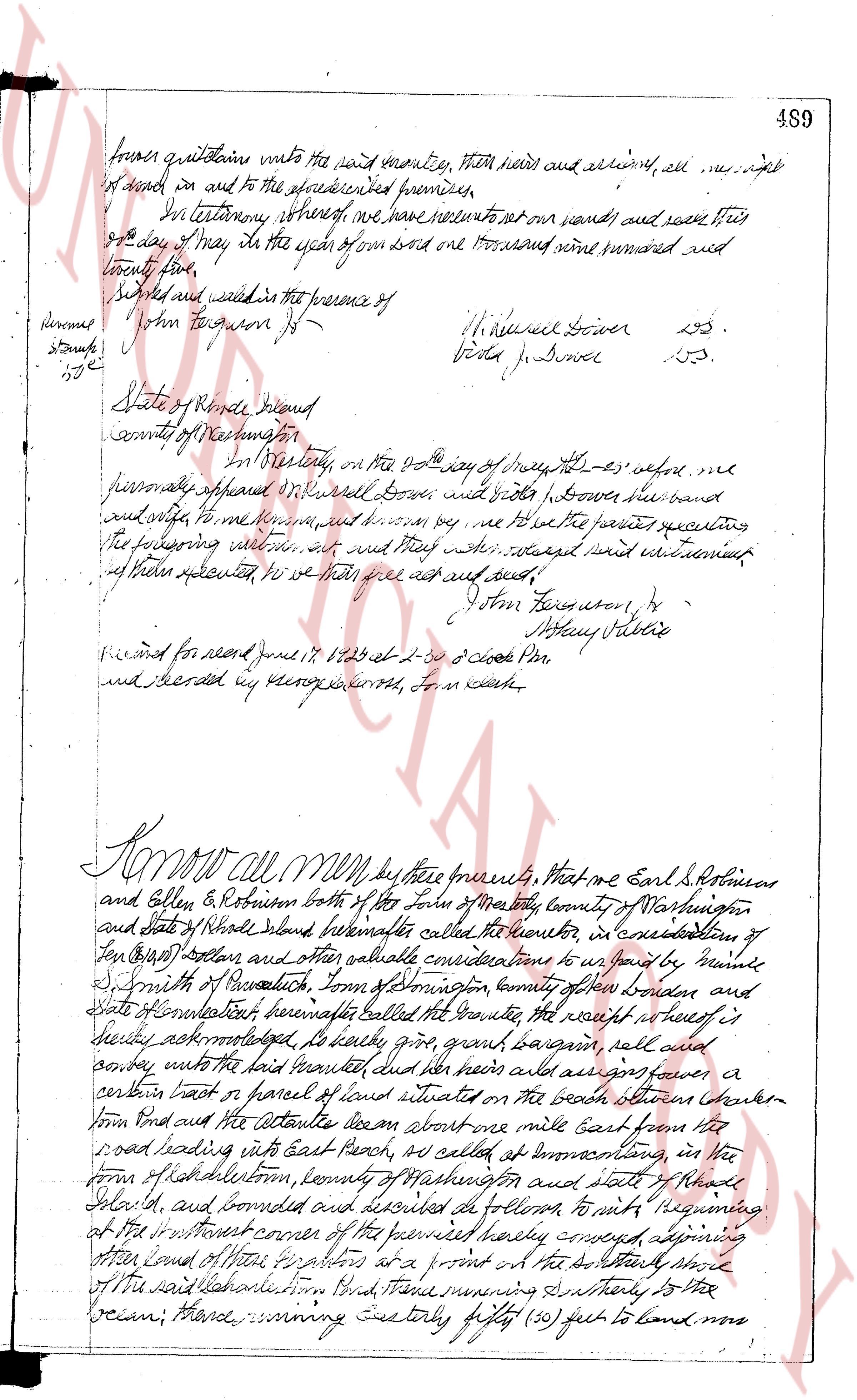
459
forever quitclaim into the said monetize, their heirs and assigns, all right
of theirs in and to the aforesaid premises.
In Testimony whereof we have solemnly set our hands and seals this
eighth day of May in the year of our Lord one thousand and nine hundred and
seventy five.
Signed and sealed in the presence of
John Ferguson Jr. [signature] H. Russell Bower [seal]
[signature] [seal] Guta Bower [seal]
State of Rhode Island
county of Washington
I, in Testimony on the 8th day of May 1975 before me
personally appeared H. Russell Bower and Guta Bower the above named
and wife, to me known, and sworn to me that they the parties executing
the foregoing instrument, act and deed they had signed said instrument
of their own accord and so we did act and seal.
John Ferguson Jr. [signature]
Anthony Sabino [signature]
Recorded for deed June 17 1975 at 2-30 o'clock PM
and witnessed by George Eastwood, Forn clerk.
KNOW All MEN by these presents, that we Earl S. Robinson
and Ellen E. Robinson both of the town of North Kingstown county of Washington
and state of Rhode Island hereinafter called the grantor, in consideration of
ten Dollars ($10) and other valuable considerations to us paid by Daniel
S. Smith of Providence town of Providence county of Providence and
state of Connecticut hereinafter called the grantee the receipt whereof is
hereby acknowledged, do hereby grant, give bargain sell and
convey unto the said grantee and her heirs and assigns forever a
certain lot or parcel of land situated on the beach between Charles
town Road and the saltwater about one mile East from the
road leading into East beach, as called at North Kingstown, in the
town of Charlestown, county of Washington and state of Rhode
Island, and bounded and described as follows: to wit: beginning
at the north west corner of the premises hereby conveyed adjoining
other land of Master h. peters on a point at the North story
of the said Charlestown Road, thence running South easterly to the
ocean; thence running easterly fifty (50) feet to land now
The page as recorded