The instrument's own words
page 1
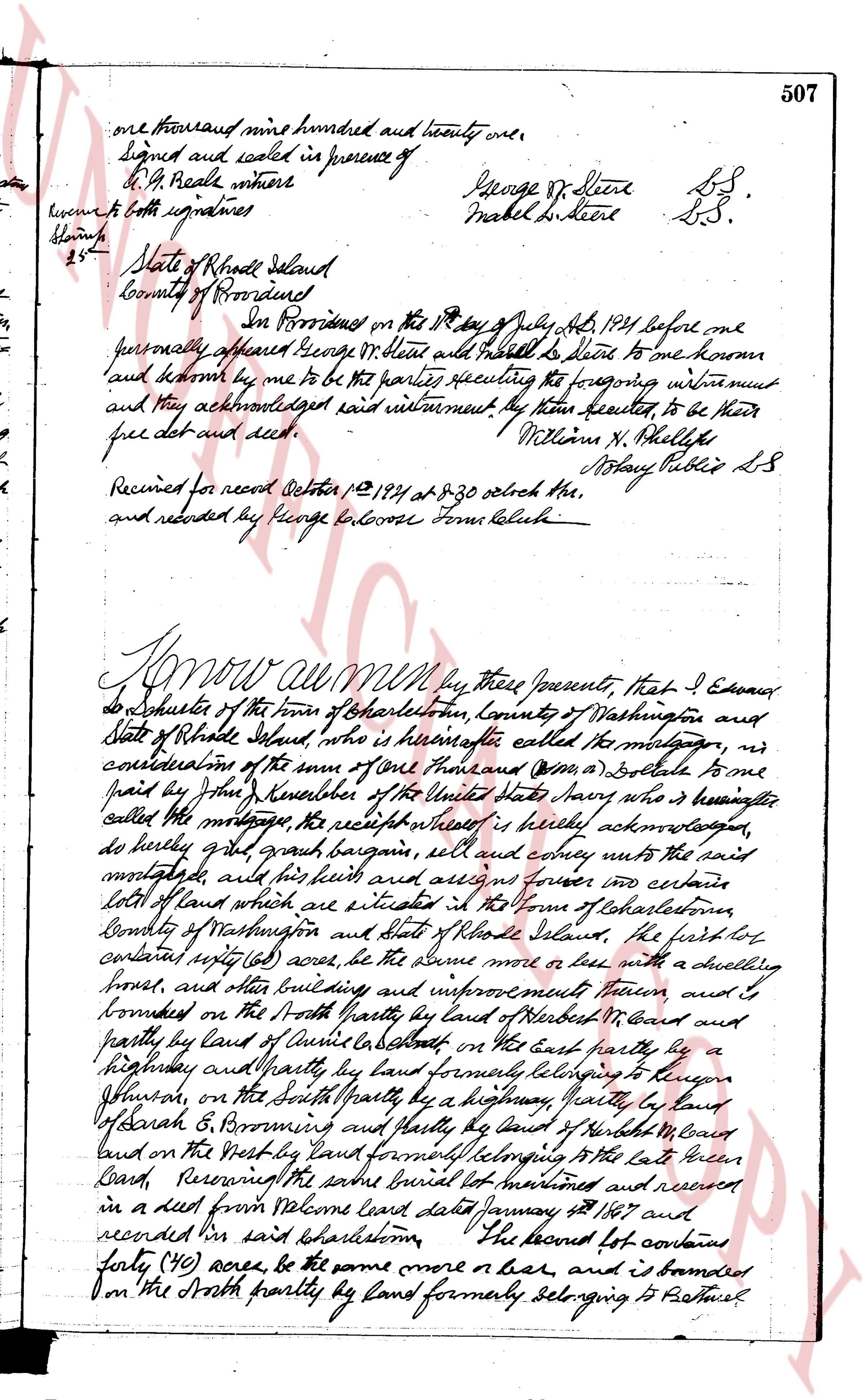
506 Know all men MEN by these presents that George Dr.
Steere of Providence Rhode Island hereinafter called the Grantor, in
consideration of the sum of ten dollars and other valuable consideration
to paid by Abraham Phelps Steere, of 88 Spoon Street, East city, county
and State of New York, hereinafter called the grantee, the receipt
whereof is hereby acknowledged, do hereby give, grant bargain,
sell and convey unto the said Grantee, dut his heirs and assigns
forever a certain tract of land situated in the town of Brattleboro
County of Washington and State of Rhode Island, and more particu
larly described as follows: Beginning at stone post in the
North east corner of the premises hereby conveyed, running southerly
six hundred eight (608) feet to a concrete post along land belonging
to Daniel Moore then westerly thirteen hundred twenty four (1324) feet
along a lot known as lot no 9 on the Indian deeds boundary map
on file in the office of the Town Clerk of Brattleboro, thence sou
thly six hundred eight (608) feet easterly on a line parallel to the first line
above mentioned, along lot no 9 as shown on said map, property
of Former Reconstruction Company, Inc., thence northerly thirteen
hundred twenty (1320) feet along lot no 3 as shown on said map
property of the Granite beach, to the point of beginning, being
the premises, described on said map, as lot no four (4)
To have and to hold, the aforesaid premises, with all
the privileges and appurtenances thereunto belonging, unto and
to the use of the said Grantee, and his heirs and assigns forever,
and Said Grantor the Grantor, does hereby, for himself and
for his heirs successors and administrators covenan t and
with the said Grantee and his heirs and assigns attests that he is
lawfully seised in fee simple of the said granted premises, that
the same are free from all incumbrances that he has good
right full power thus lawful authority to sell and convey the
same in manner as aforesaid That the said Grantee and
his heirs and assigns shall by these presents at all times
hereafter peaceably have quietly have and enjoy the said
premises and that he the said Grantor will and his heirs,
successors and administrators shall warrant and defend
the same to the said Grantee and his heirs and assigns forever
against the lawful claims and demands of all persons
I Carol for the reasons above expressed Mabel De Claire wife of
George Dr Steere do hereby release all my right of dower
in land to the said granted premises unto the said Grantee
and his heirs and assigns forever,
In our witnesses whereof we have hereunto set our hands
and seals this 11th day of July in the year of our Lord
The page as recorded