The instrument's own words
page 1
324
This conveyance carries with it all parking and other privileges appurtenant to said land.
This conveyance is made subject to restrictions of record.
(DOCUMENTARY STAMPS $.275)
John S. Bartlett
Elva M. Bartlett
STATE OF RHODE ISLAND, Etc. )
)
COUNTY OF KENT )
In Warwick, R. I. on the 19th day of April 1962 personally appeared John S. Bartlett and
Elva M. Bartlett to me known and known by me to be the parties executing the foregoing instrument and
Elva acknowledged said instrument, by them executed, to be their free act and deed.
Albert N. Kimball Jr. (Notarial Seal)
Notary Public
Received for record May 16th, 1962 A. D. at 10:35 o'clock A.M. and recorded by
- Edison H. Sturman
Deputy Town Clerk
MORTGAGE DEED
KNOW ALL MEN BY THESE PRESENTS, That We, WILLIAM ALFRED BROWN and ANN J. BROWN, husband and wife, both of
the town of Charlestown, County of Washington and state of Rhode Island, for consideration paid, grant to
STORINGTON COMMUNITY CREDIT UNION, a corporation legally organized and having a place of business in the
Village of Pawcatuck, Connecticut, with MORTGAGE C. VENDITII, to secure the payment of Nine hundred twenty-
eight & 52/100 ($928.52) Dollars in eighteen (18) months with interest at six (6%) per centum per annum, said im-
terest payable quarterly in arrears, the first payment to be made three months from the date hereof and every
three months thereafter, as provided in a certain meanwhile promissory note of even date herewith;
That certain tract or parcel of land, together with the buildings and improvements thereon situated,
situated in the Town of Charlestown, County of Washington and State of Rhode Island, bounded
and described as follows:-
BEGINNING at the intersection of the southerly line of Columbia Heights Road and the easterly line
of Columbia Heights Oval West, said point being the northwesterly corner of the true
northern boundary of the mentioned tract of land as shown on plat No. 2 of the shown on plat Line No. 2
of the Rhode Island Realty Corporation, Plat No. 2, Columbia Heights, Charlestown, R. I., Scale 1 inch equals
50 Feet, recorded September 20, 1959, in Plat Book 1, page 11, in the Chas. L. Snyder and
Evidence Survey records running easterly and by with the southerly line of Columbia Heights
Road, a distance of 140.00 feet to a point marked by a pipe at an angle of 90°00' and running
so then southerly bounded easterly by Lots Nos. 22, 24 and 26 on said plat, a distance of 285.00 feet
to an iron pipe then turning northerly 90°00' and running northerly bounding westerly bound
southerly by Lot No. 42 on said plat, a distance of 104.00 feet to the easterly line of
Columbia Heights Oval West, then running westerly 90°00' to the point and place of beginning,
this course being a straight line making an angle of 90°00' with the first described course. The
above described premises being marked as and denoted as Lots Numbered 44, 46 and 48 on
said above mentioned plat.
TOGETHER with the right to use the roads as shown on said plat and the way known as
Columbia Heights Road in common with others, for the purpose of travel to and from said pre-
mises and public highways.
TOGETHER with the right to use water for domestic purposes only from the present water supply
system in common with others in accordance with the terms and conditions set forth in the
deed from the Town of Charlestown to the Rhode Island Improvement, dated March 18, 1899 and
recorded in Book 36, at page 542 of said records, upon condition that the grantees, their heirs
and assigns hereby agree to carry out all the prescriptions and obligations as set
forth in said deed in so far as, and to the extent that the said prescriptions and obligations affect
the premises hereby conveyed.
This conveyance is also made SUBJECT to the conditions that said premises be used for private
residential purposes only and that no business of any nature be conducted thereon.
page 2
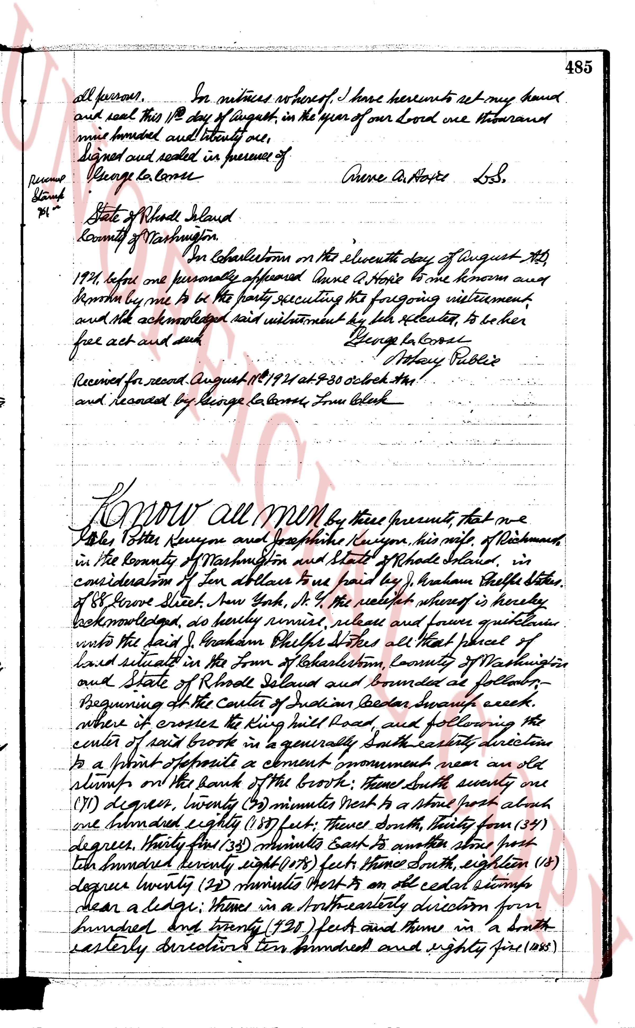
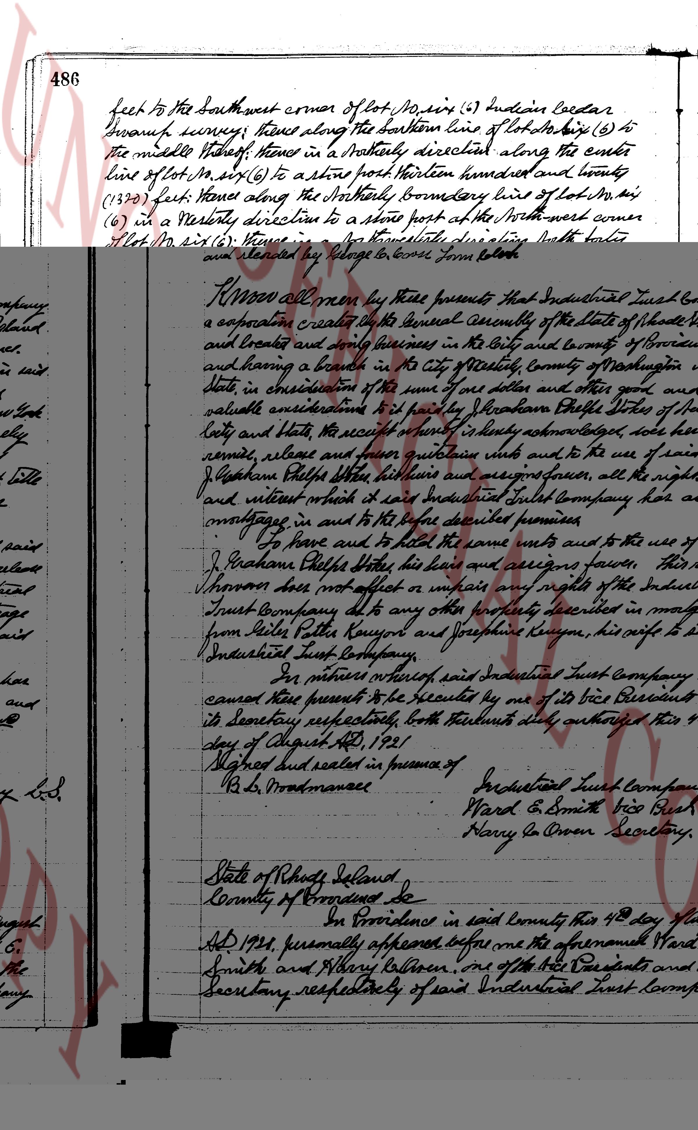
486 feet to the southwest corner of lot no. six (6) Indepedence Cedar
Branch survey, thence along the northern line of lot no. eight (8) to
the middle thereof, thence in a northerly direction along the east
line of lot no. six (6) to a stone post northern hundred and twenty
(1320) feet, thence along the northerly boundary line of lot no. six
(6) in a westerly direction to a stone post at the northwest corner
of lot no. six (6), thence in a northwesterly direction south forty
one degrees (41°) east one hundred and forty three feet by wire
(143 ft) in to a stone post, thence north seventy degrees (70°) thirty
five minutes (35') east eight hundred and thirty three (833) feet
to a concrete monument which is north seventy one degrees
(71°) twenty minutes (20') east three hundred and eighteen feet
five inches (318 ft 5 in) from the stone post first above mentioned,
thence north forty and (40°) thirty ninety minutes (30') west twenty two
hundred fifty one (2251) feet to a big maple tree at the edge of
the road near the brook, thence about twenty feet to the middle
of the brook at the point of place of beginning, containing
about thirty Three (33) acres be the same more or less.
To have and to hold the granted premises with all the
privileges and appurtenances belonging to the said
Abraham Dwight dates and his heirs and assigns to their
own use and behoof forever. And we do hereby covenant with
and our heirs, executors and administrators covenant with
the said grantee and his heirs and assigns that the granted
premises are free from all encumbrances made or suffered by
us or either of us and that we will and on our heirs, executors
and administrators shall warrant and defend the same
to the said grantee and his heirs and assigns forever against
the lawful claims and demands of all persons claiming
by, through or under us or either of us. And for the
considerations aforesaid I, Josephine Kenyon, do hereby release
unto the said grantee and his heirs and assigns all my rights
of dower in the granted premises.
In witness whereof, we have hereunto set our hands
and seals this 2nd day of August 1921
Signed and sealed in presence of
George Barlow
Silas P. Kenyon
Josephine Kenyon
Rumme
Stobbe
P.H.
State of Rhode Island, SS.
County of Washington, SS.
Before me this 2nd day of August in the
year nineteen hundred and twenty one before me
page 3
487
personally appeared Peter Potter Kenyon and Josephine Kenyon his wife,
both known to me and known by me to be the persons executing the
foregoing instrument and they acknowledged the same instrument
to be their free act and deed.
In witness whereof I have hereunto set my hand and seal at
Johnston the day and year above written.
George L. Corne
Notary Public SS.
Received for record August 12, 1921 at 9 o'clock AM
and recorded by Relange G. Corne Form Clerk.
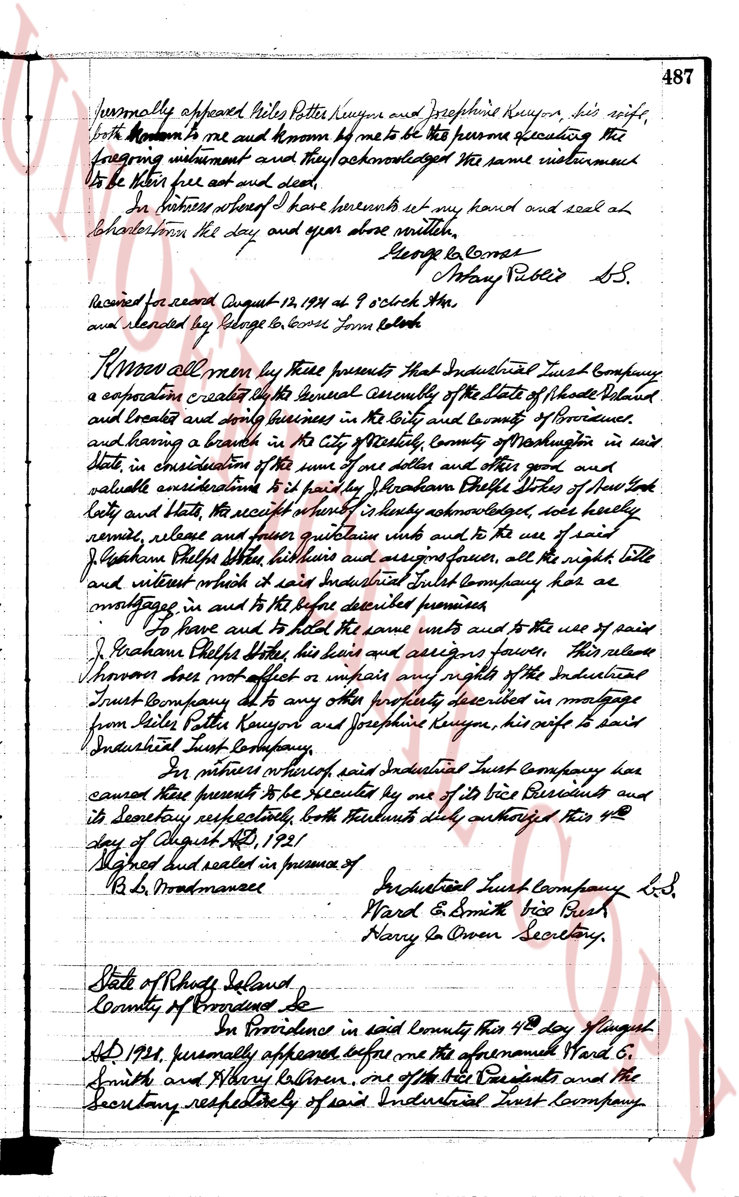
Know all men by these presents that Industrial Trust Company
a corporation created by the general assembly of the State of Rhode Island
and Providence and shortly since residing in the City and County of Providence
and having a branch in the City of Newport, County of Washington in said
State, in consideration of the sum of one dollar and other good and
valuable considerations to it paid by J. Graham Phelps State of New York
city and State the receipt whereof it hereby acknowledges does hereby
remise, release and forever quitclaim unto and to the use of said
J. Graham Phelps his heirs and assigns forever, all the right title
and interest which it said Industrial Trust Company has as
mortgagee in and to the before described premises
To have and to hold the same unto and to the use of said
J. Graham Phelps his heirs and assigns forever this release
however does not affect or impair any rights of the Industrial
Trust Company due to any otherly described in mortgage
from Peter Potter Kenyon and Josephine Kenyon, his wife to said
Industrial Trust Company.
In witness whereof said Industrial Trust Company have
caused these presents to be executed by one of its Vice Presidents and
its Secretary respectively, both instruments duly authorized this 4th
day of August AD, 1921
Signed and sealed in presence of
B. L. Woodmansee
Industrial Trust Company L.S.
Ward E. Smith vice Pres.
Harry G. Owen Secretary.
State of Rhode Island
County of Providence Ss.
On Providence in said county this 4th day of August
AD 1921, personally appeared before me the aforementioned Ward E.
Smith and Harry G. Owen, one of the Vice Presidents and the
Secretary respectively of said Industrial Trust Company.
The page as recorded