The instrument's own words
page 1
141
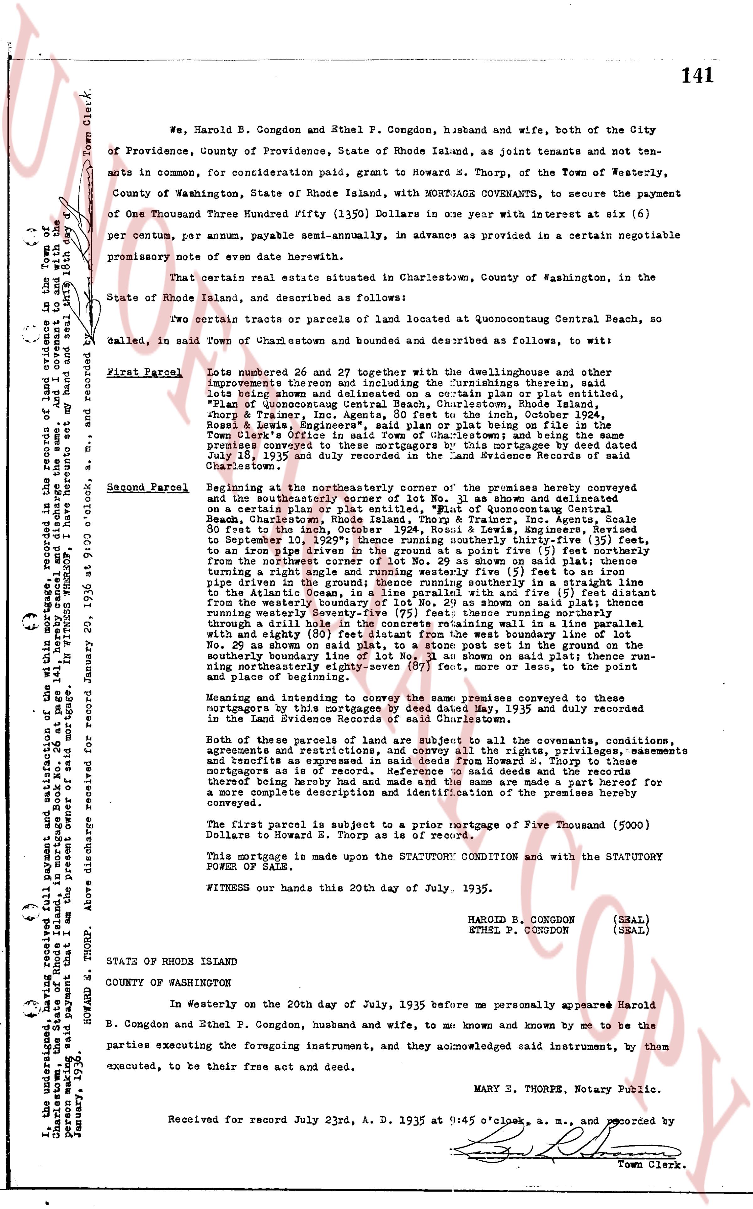
{ } We, Harold B. Congdon and Ethel P. Congdon, husband and wife, both of the City
{ } of Providence, County of Providence, State of Rhode Island, as joint tenants and not ten-
{ } ants in common, for consideration paid, grant to Howard M. Thorp, of the Town of Westerly,
{ } County of Washington, State of Rhode Island, with MORTGAGE COVENANTS, to secure the payment
{ } of One Thousand Three Hundred Fifty ($1350) Dollars in one year with interest at six (6)
{ } per centum per annum, payable semi-annually, in advance as provided in a certain negotiable
{ } promissory note of even date herewith.
{ } That certain real estate situated in Charlestown, County of Washington, in the
{ } State of Rhode Island, and described as follows:
{ } Two certain tracts or parcels of land located at Quonocutaug Central Beach, so
{ } called, in said town of Charlestown and bounded and described as follows, to wit:
First Parcel Lots number 26 and 27 together with the dwellinghouse and other
improvements thereon and including the furnishings therein, said
lots being shown and delineated on a certain plan or platlet, "Plan
of Quonocutaug Central Beach", Charlestown, Rhode Island, by Howard
Thorp & Trainer, Inc. Agents, go booth to the inc, October 1934
Ross & Lewis", Engineers", said plan or plat being on file in the
Town Clerk's office in Charlestown and being the same premises
conveyed to those mortgagees by this mortgage dated May 22nd
1935 by a deed recorded in the Land Evidence records of said
Charlestown.
Second Parcel Beginning at the northeasterly corner of the premises hereby conveyed
and the northeasterly corner of Lot No. 29 as shown and delineated
on a certain plan or plat entitled, "Plan of Quonocutaug Central
Beach", Charlestown, R.I., by Howard Thorp & Trainer, Inc. Agents, then
80 feet to the inch, October 1934, Ross & Lewis, Engineers, Rivered
to September 10th, 1939 then running southerly thirty-five (35) feet,
to an iron pipe driven in the ground; thence diverge five (5) feet
from the northwest corner of Lot No. 29 as shown on said plat; thence
running southerly one hundred twenty-five (125) feet to an iron
pipe driven in the ground; thence running southerly in a straight line
to the point where said line intersects the north line of Lot No. 24 then
from the westerly boundary of Lot No. 29 as shown on said plat; thence
running southerly one hundred twenty-five (125) feet to an iron pipe
driven through a drill hole into the concrete remaining will in a line parallel
with the first line mentioned above from the west boundary line of the
No. 29 boundary on said plat; thence to an iron post set in the ground on
the southerly boundary line of Lot No. 29 as shown on said plat; thence run-
ning northerly eighty-five (85) feet to the corner of or less, to the point of
and place of beginning.
Meaning and intending to convey the same premises conveyed to the
then mortgagees by a deed dated May 19, 1935 and duly recorded
in the Land Evidence Records of said Charlestown.
Both of the parcels of land are subject to all the covenants, conditions,
agreements and restrictions as to the use of the rights, privileges, easements
and benefits as expressed in said deed from Howard M. Thorp to the
mortgagors as is of record. Reference to said deeds and the records
thereof is hereby made and the same are made a part of this mortgage for
a more complete description and identification of the premises hereby
conveyed.
The first parcel is subject to a prior mortgage of Five Thousand (5000)
Dollars to Howard S. Thorp as is of record.
This mortgage is made upon the STATUTORY CONDITION and with the STATUTORY
POWER OF SALE.
WITNESS our hands this 20th day of July, 1935.
HAROLD B. CONGDON (SEAL)
ETHEL P. CONGDON (SEAL)
STATE OF RHODE ISLAND
COUNTY OF WASHINGTON
In Westerly on the 20th day of July, 1935 before me personally appeared Harold
B. Congdon and Ethel P. Congdon, husband and wife, to me known and known by me to be the
parties executing the foregoing instrument, and they acknowledged said instrument, by them
executed, to be their free act and deed.
MARY S. THORPE, Notary Public.
Received for record July 23rd, A. D. 1935 at 9:45 o'clock, a. m., and recorded by
Town Clerk.
I, the undersigned, having received full payment and satisfaction of the within mortgage, recorded in the records of land evidence in the Town of
Charlestown, Rhode Island, and whereas said payment that I am the present owner of said mortgage. IN WITNESS WHEREOF, hereunto set my hand and seal 18th day
January, 1936.
HOWARD S. THORP.
Town Clerk.
Recorded for January 20, 1936 at 9:00 o'clock, a. m., and recorded by
The page as recorded