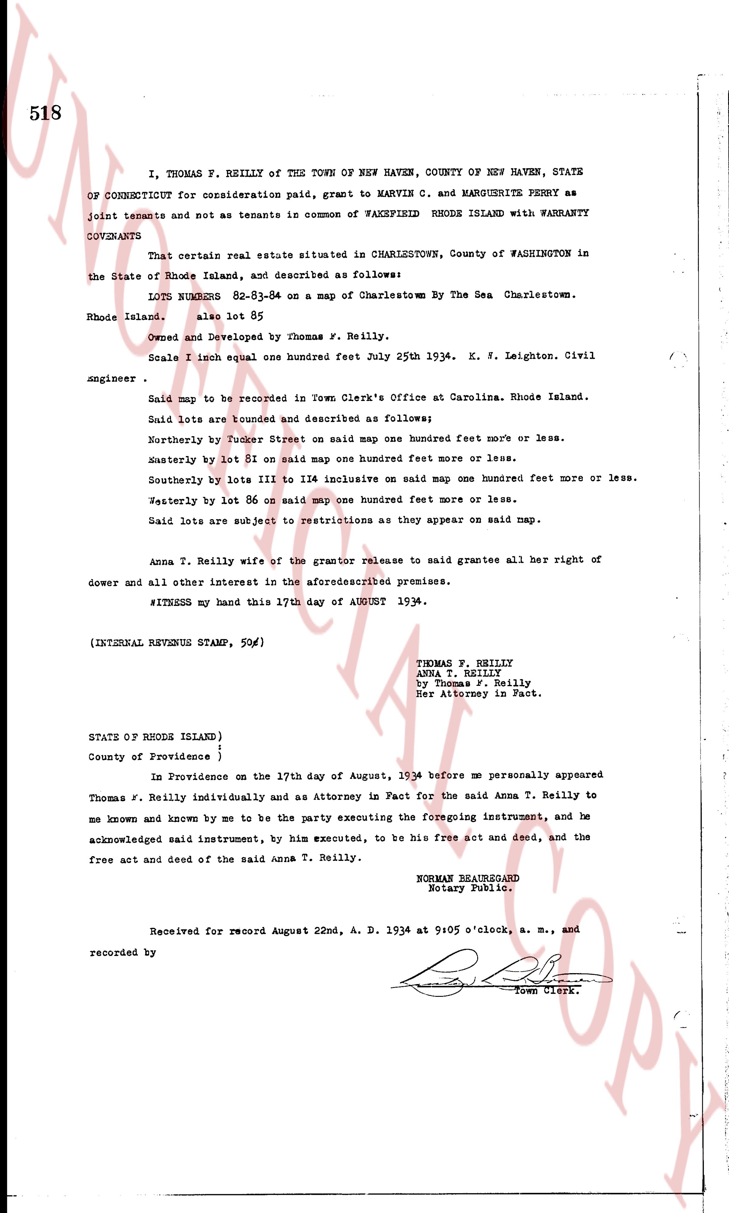
The instrument's own words
page 1
361
STATE OF RHODE ISLAND }
} ss
County of Washington}
In Richmond on the 22nd, day of September, 1933 before me personally appeared
Charles H. Dyson to me known and known by me to be the party executing the foregoing instru-
ment, and he acknowledged said instrument, by him executed, to be his free act and deed.
OSCAR E. BARBER
Notary Public.
Received for record September 22nd, A. D. 1933 at 3:30 o'clock, p. m., and
recorded by
[Signature]
Town Clerk.
KNOW ALL MEN BY THESE PRESENTS, That we, Elvin J. Baker and Marguerite S. Baker,
of North Eastern, County of Bristol and State of Mass. (Joint tenants and not as tenants in
common) for consideration paid, grant to Joseph P. Cybulski and Nellie M. Cybulski, of the
Town of Charlestown, County of Washington and State of Rhode Island, as Joint tenants and
not as tenants in common, or to the survivor thereof with WARRANTY CONVEYANCE
That certain real estate situated in Charlestown, County of Washington in the
State of Rhode Island, and described as follows:
That certain parcel or part of land situated in the Town of Charles-
town, County of Washington and State of Rhode Island and bounded and
described as follows:
Starting at the northwest corner of said tract of land at john J.
Burdick and running northerly southerly along the State Highway a distance of
900 feet, thence easterly a distance of 300 feet, then a distance of 300 feet,
thence northerly to a road, thence westerly along said road a distance
of 375 feet to land of john J. Burdick, thence southerly along said
Burdick land a distance of 376 feet, thence westerly along said
Burdick land a distance of 133 feet to corner first mentioned.
Bounded on the north by the road, east by land of these grantors, west
by the State Highway and Burdick land and on the south by lands of
these grantors.
And we, Elvin J. Baker and Marguerite S. Baker release to said grantee all our
right of courtesy dower and all other interest in the aforesaid premises.
WITNESS our hands this 22nd, day of September, 1933.
(INTERNAL REVENUE STAMP, $1.00)
ELVIN J. BAKER
MARGUERITE S. BAKER
STATE OF RHODE ISLAND }
} ss
County of Washington }
In Richmond on the 22nd, day of September, 1933 before me personally appeared
Elvin J. Baker and Marguerite S. Baker, both to me known and known by me to be the parties
executing the foregoing instrument, and they each acknowledged said instrument, by them
executed, to be their free act and deed.
OSCAR E. BARBER
Notary Public
Received for record September 22nd, A. D. 1933, at 3:45 o'clock, p. m., and
recorded by
[Signature]
Town Clerk.
page 2
288
inclusive, in Section XVIII; also Lots one (1) to six (6), inclusive, and nine (9) to
thirty-two (32), inclusive, in Section XIX; also one (1) to thirty-two (32), inclusive
in Section XX; also Lots one (1) to eight (8), inclusive, thirteen (13), fourteen (14),
Seventeen (17) and eighteen (18), in Section XXI; also Lots one (1) to six (6), inclusive,
in Section XXII; and also Lots one (1) to five (5), inclusive, and seven (7) and eight (8),
in the shore lot section.
SECOND: All other land, together with the buildings and improvements there-
on, designated and delineated on said plats (particularly including all parks, squares,
groves, forests, ways, driveways and roads, beaches, dunes, marsh lands, and land lying
north of the northerly boundary of the Dunes, islands, and rocks), but excepting lots
thirty-three (33) to forty (40), inclusive, and seventy-three (73) to eighty (80), inclu-
sive, in Section XI, and shore lot fourteen (14) also excepting such portions thereof
as have been heretofore conveyed by this Grantor.
THIRD: All rivers, streams, water rights, and easements, rights, and
reservations, of every kind and description, appurtenant to any of the foregoing properties.
A portion of the premise, above described, is subject to a mortgage of record, which the
Grantee, in accepting this conveyance, shall become bound to assume and pay, and this
conveyance is made, and if accepted, shall be deemed to be accepted upon the express con-
ditions: a. That the Grantee will perpetually maintain and care for the parks, squares,
groves, forest, dunes, beach, driveway, and roads, for the benefit of all persons who
heretofore have become, or hereafter may become entitled to enjoy the same. b. That the
Grantee, in making future conveyances of lots numbered on said plats, shall embody in
every deed, provisions, conditions, rights, and restrictions, substantially similar to
those embodied in deeds of conveyances heretofore made, and delivered by this Grantor. c.
That the Grantee will regularly collect the maintenance tax assessable against each lot
heretofore and hereafter conveyed, and that it will expand the same, in such manner as in
its sole discretion it shall deem advisable, for the care of the driveways, parks, squares,
grove, forest, lammas, and reserved portions of the shore. d. That the Grantee will, at
its own expense, collect all payments due on contracts pending for the sale of any of the
properties hereinbefore described, said Grantee being hereby expressly authorized to
effect such collections, (using the name of the Grantor, if necessary), and upon payment
of the final installment, said Grantee shall convey said premises in manner as provided
by the contract of sale. e. That the Grantee will drain, improve, and plate into lots,
for the purpose of sale, such portions of the land lying north of the area marked "Dunes",
as it may be practical to plat, said lots, to be conveyed subject to conditions, privi-
leges, and restrictions, substantially similar to those embodied in conveyances heretofore
made.
TO HAVE AND TO HOLD, the aforementioned premises, with all the rights, privi-
leges and appurtenances thereunto belonging, unto and to the use of the said Grantee,
and its successors and assigns, forever. And the said Grantor, does hereby, for himself
and for his heirs, executors, and administrators, covenant with the said Grantee and its
successors and assigns that he is lawfully seized in fee simple of the said granted
premises; that the same are free from all incumbrances except as aforesaid; that he has
good right, full power and lawful authority to sell and convey the same in manner as afore-
said; that the said Grantee and its successors and assigns shall be these presents at all
times hereafter, peaceably and quietly have and enjoy the said premises, and that, the
said Grantor will, and his heirs, executors and admin.strators, shall warrant and defend
The page as recorded