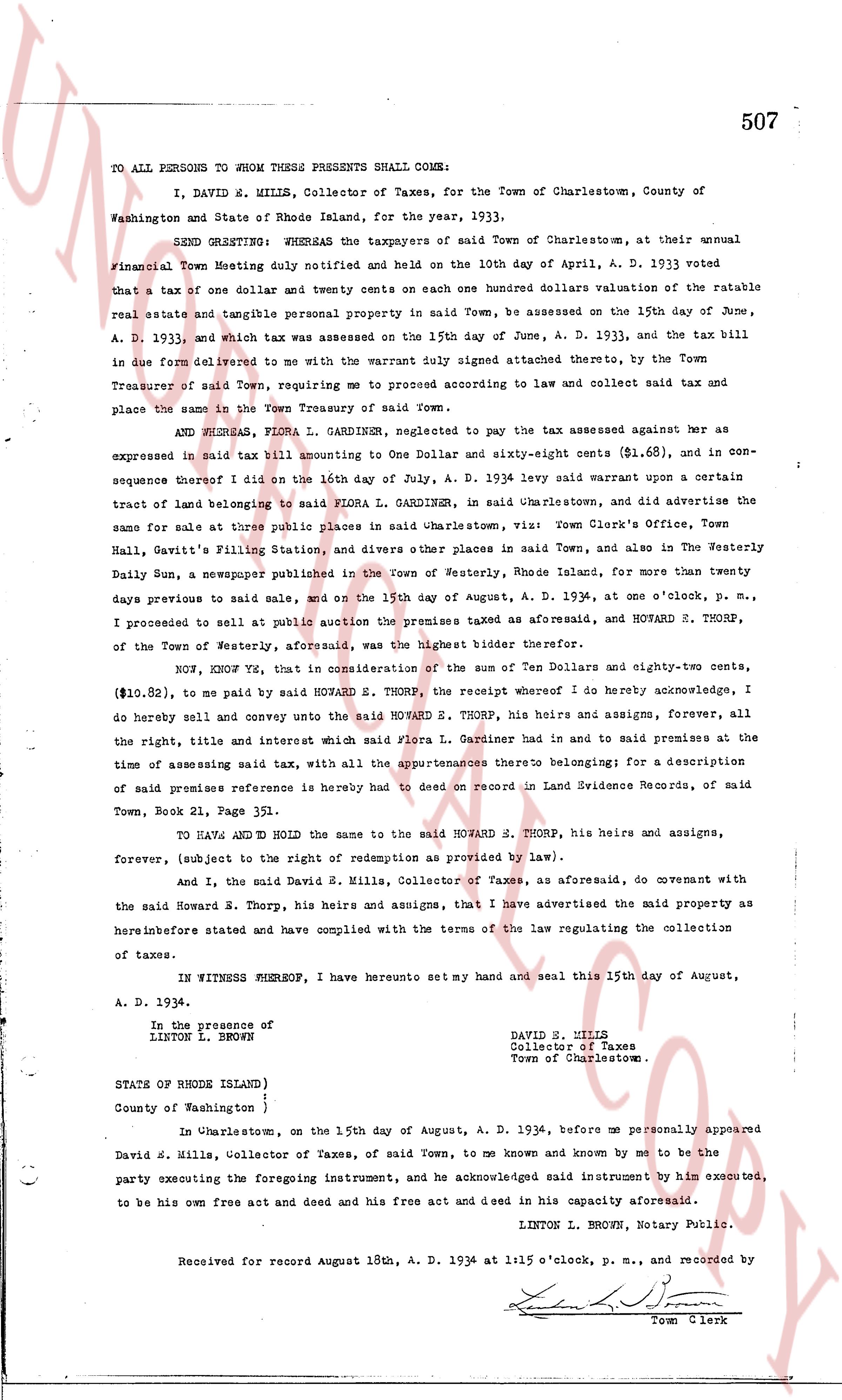
The instrument's own words
page 1
354
KNOW ALL MEN BY THESE PRESENTS, that I, WILLIAM B. HOWES, of the City of
Brooklyn, New York for consideration paid, grant to LILLIAN HOWES, of said City and State
with WARRANTY COVENANTS
That certain real estate situated in the Town of Charlestown, County of
Washington, State of Rhode Island, and described as follows:
First Tract: Beginning at a stone bound on the shore of Charlestown Pond,
and running thence in a westerly direction along the land of
Estate of Thomas L. Arnold four hundred eight-seven and seventy
one hundredths feet to a stone bound then turning slightly to the
right angle and running northerly one hundred fifty (150)
feet to a stone bound thence turning south eighty nine degrees thirty
six minutes, thirty six seconds, thirty six seconds, thirty (30) seconds, and
running northeasterly one hundred thirty seven hundred ninety-one and one
hundredths (137.91) feet to a stone bound thence turning north
easterly angle of one hundred twenty nine hundred thirteen (129) degrees, five
(5) minutes, and running southeasterly one hundred twenty-four feet
sixty-two and six tenths (124.6) feet, more or less, to the
shore of Charlestown Pond thence southerly along the shore of
said Pond one hundred (100) feet, more or less, to the point
or place of beginning.
Second Tract: Beginning at a point on the shore of Charlestown Pond at the
northmost corner of land now owned by Grantor, the boundary line
of said land running southeasterly one hundred eighty four feet, to
a stone bound thence westerly two hundred twenty-seven feet, to a stone bound
turning into asterior angle one hundred twenty-five 72.5 feet, to a stone bound
running northeasterly one hundred thirty-seven feet, to a stone bound
Grantor thence turning into asterior angle of one hundred thirty-five degrees to
a stone bound thence continuing to a stone bound at the south-
east corner of land of Barbara Arnold, et al. thence on the same
direction 51.25 feet to a stone bound thence turning into an
interior angle of 75° 50' and running 45.9 feet southeasterly, 204
feet to a stone bound thence in the same direction 11.2 feet,
more or less, to the shore of Charlestown Pond, bounding east-
erly land formerly owned by Estate of Thomas L. Arnold, thence
the shore of Charlestown Pond 29 feet, more or less to point of
beginning. Now a part of the reservation of the original purchase of
tracts, reference is hereby made and with map to plot on file in the
Town Clerks's Office of said Town, Land Evidence Book Page 24,
Town Plt. 212.
Third Tract Beginning at a point on the northeasterly corner of a certain
lot described by Thomas L. Arnold to Ezra Mutual by a deed re-
corded date May 12, 1844, with the Clerk, of said Town, in Land
Evidence Book No. 24 Page 11, thence running southerly along
the east line of said lot one hundred feet along the boundary of
the Atlantic Ocean twenty-five (25) feet running thence southerly
running northerly and easterly 100 feet to the northeast corner of lot of
said Ezra L. Mutual to a proposed road running thence westerly
along the southerly boundary of the said proposed road to the
point and place of beginning, or however otherwise bounded.
Together with a covenant with the Grantee that the above described
and the Estate of the Thomas L. Arnold to the above described pre-
mises from the present Grantor to said Grantee and the boundary of
Thomas L. Arnold located on the shore of Charlestown Pond known as the
West Channel
Meaning and intending by this presents to convey to said
Grantee all the right, title, interest, property, claim and de-
mand I now own in and any all real estate located in said Town
of Charlestown.
I hereby covenant that the consideration of this instrument is
less than one hundred dollars.
WITNESS my hand this 9th day of September, 1933.
WILLIAM B. HOWES.
STATE OF RHODE ISLAND )
County of Washington )
In Charlestown on the 9th day of September, 1933 before me personally appeared
William B. Howes, to me known and known by me to be the party executing the foregoing
Instrument, and he acknowledged said instrument by him executed to be his free act and
deed.
LINTON L. BROWN (SEAL)
Notary Public.
Received for record September 9th, A. D. 1933 at 5:00 o'clock p. m., and
recorded by
Town Clerk.
page 2
277
State of Rhode Island
County of Providence
In Providence, in said County, on the 24th day of February, 1933, before me
personally appeared Wilson G. Wing, Treasurer of Charlestown Estates, Inc., to me known and
known by me to be the party executing the foregoing instrument, and he acknowledged said
instrument by him executed to be his free act and deed and the free act and deed of said
Charlestown Estates, Inc.
EVELYN H. LONERGAN
Notary Public.
Received for record March 18th, A. D. 1933 at 2:40 o'clock, p. m., and
recorded by [Signature]
Town Clerk.
The page as recorded