The instrument's own words
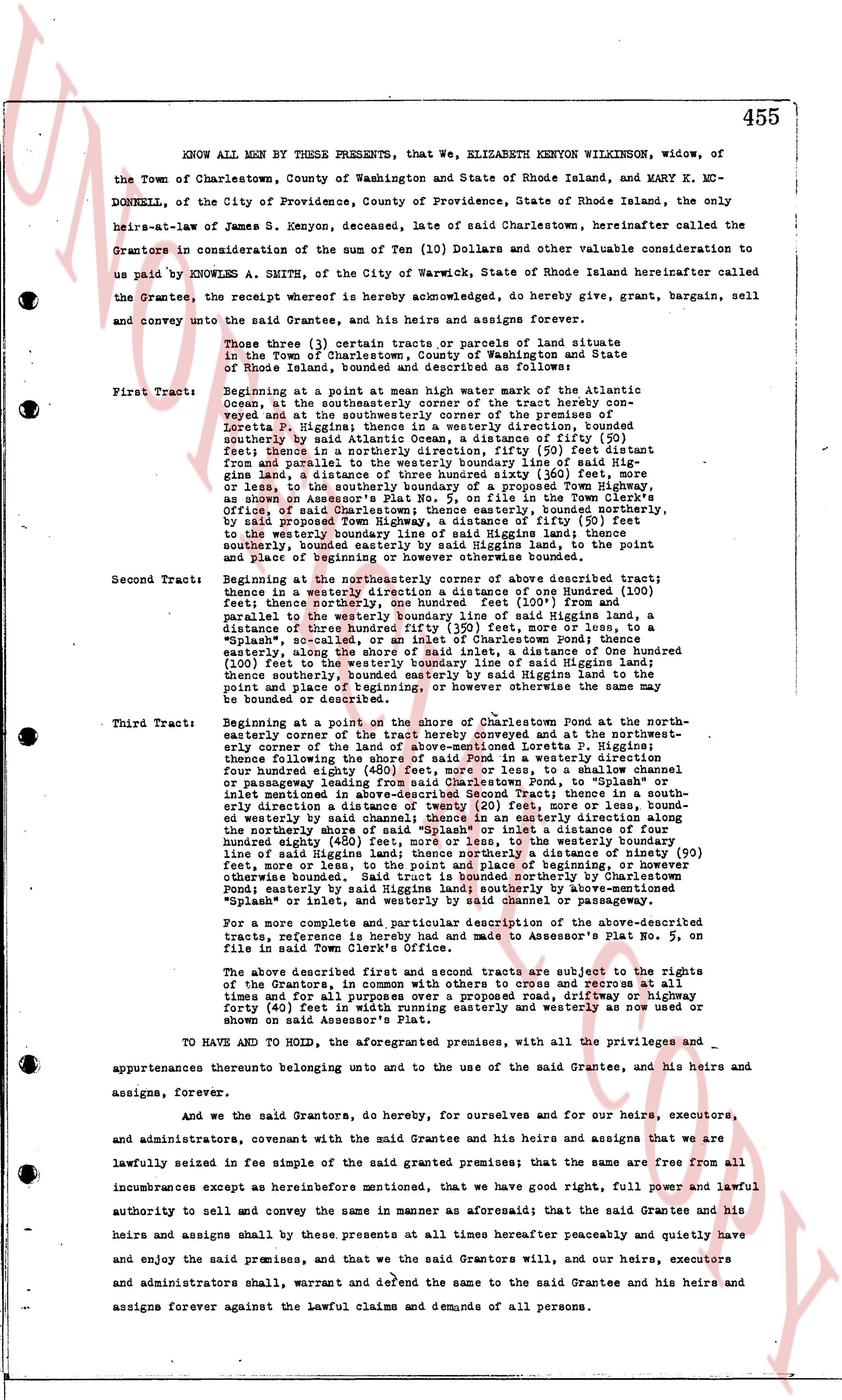
page 1
455
KNOW ALL MEN BY THESE PRESENTS, that We, ELIZABETH KENYON WILKINSON, widow, of
the Town of Charlestown, County of Washington and State of Rhode Island, and MARY K. MC-
DONNELL, of the City of Providence, County of Providence, State of Rhode Island, the only
heirs-at-law of James S. Kenyon, deceased, late of said Charlestown, hereinafter called the
Grantors in consideration of the sum of Ten (10) Dollars and other valuable consideration to
us paid by KNOWLES A. SMITH, of the City of Warwick, State of Rhode Island hereinafter called
the Grantee, the receipt whereof is hereby acknowledged, do hereby give, grant, bargain, sell,
and convey unto the said Grantee, he his heirs and assigns forever,
Those three (3) certain tracts or parcels of land situate
in the Town of Charlestown, County of Washington and State
of Rhode Island bounded and described as follows:
First Tract: Beginning at a point at mean high water mark of the Atlantic
Ocean, at the southeasterly corner of the tract hereby conveyed and
said tract then runs northerly along the premises of
Loretta P. Higgins; thence in a westerly direction, found
southerly by said Atlantic Ocean, a distance of fifty (50) feet
thence in a northerly direction, fifty (50) feet distant
from and parallel to the boundary line of said Higgins' tra-
ct, a distance of three hundred fifty six (356) feet more, or
less, to the southeasterly corner of a property now known as
"Splank", as shown on Assessor's Plat No. 5, on file in the Town Clerk's
office; thence in a northeasterly direction, bounded easterly,
by said proposed Town Highway, a distance of fifty (50)
feet to the westerly boundary line of said Higgins' tract,
southerly, bounded easterly by said Higgins land, to the point
of بداية and beginning or otherwise bounded as above.
Second Tract: Beginning at the northeasterly corner of above described tract;
thence in a westerly direction a distance of one Hundred (100)
feet; thence northerly one hundred, one hundred feet (101) from
parallel to the westerly boundary line of said Higgins land, a
distance of three hundred fifty three (353) feet more, or less, to a
"splank" marker; thence in a northeasterly direction, bounded
easterly, along the shore of Charlestown pond, a distance of
One hundred (100) feet to the northeasterly line of said Higgins land,
to the point and place of beginning or however above the premises may be
bounded or described.
Third Tract: Beginning at the point on the shore of Charlestown Pond at the north-
easterly corner of the tract hereby conveyed and at the north-east-
ernly corner of the above-mentioned Loretta P. Higgins;
thence following the shore of said Pond in a southeasterly di-
rection four hundred eighty (480) feet more or less, to a channel
four feet wide leading from said Charlestown Pond, to a shallow
channel leading from said Charlestown Pond, to "Splank" in a
southeasterly direction, three hundred (300) feet; thence in a south-
erly direction an amount of twenty (20) feet, more or less, bounda-
ry line of said Higgins land, thence in the easterly direction to
the northerly shore of said "Splank" or inlet a distance of four
hundred eighty (480) feet more or less, to the northeasterly
line of said Higgins land; thence northerly a distance of ninety (90)
feet, from and parallel to the northeasterly boundary line of
otherwise bounded. Said tract is bounded northerly by Charlestown
Pond; easterly by said Higgins land; southerly by abandoned
"Splank" or inlet; and westerly by channel canal or passageway.
For a more complete and particular description of the above-described
tracts, reference is hereby made and had to Assessor's Plat No. 5, on
file in said Town Clerk's office.
The above described first and second tracts are subject to the rights
of the Grantors, in common with others to cross and access all tra-
cts at all times and for all purposes by the proposed road, fifty-five
forty (40) feet in width running easterly and westerly as now showed or
shown on said Assessor's Plat.
TO HAVE AND TO HOLD, the aforementioned premises, with all the privileges and
appurtenances thereunto belonging unto and to the use of the said Grantee, his heirs and
assigns, forever.
And we the said Grantors, do hereby, for ourselves and for our heirs, executors,
and administrators, covenant with the said Grantee and his heirs and assigns that we are
lawfully seized in fee simple of the said granted premises; that the same are free from
all
incumbrances except as herebefore mentioned, that we have good right, full power and lawful
authority to sell and convey the same in manner as aforesaid; that the said Grantee and his
heirs and assigns shall by these presents at all times hereafter peaceably and quietly have
and enjoy the said premises, and that we the said Grantors will, and our heirs, executors
and administrators shall, warrant and defend the same to the said Grantee and his heirs and
assigns forever against the lawful claims and demands of all persons.
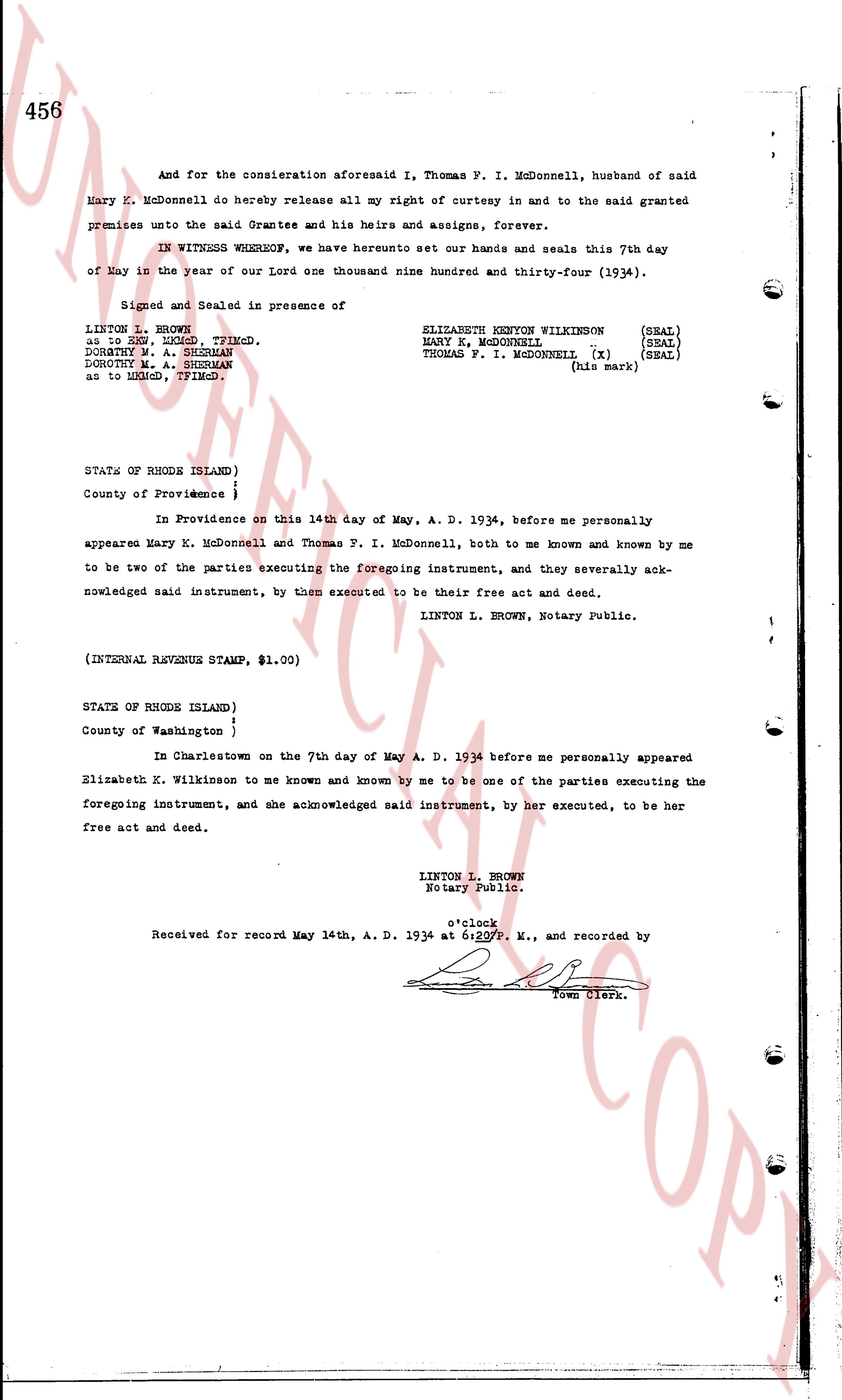
page 2
456
And for the consideration aforesaid I, Thomas P. I. McDonnell, husband of said
Mary K. McDonnell do hereby release all my right of curtesy in and to the said granted
premises unto the said Grantee and his heirs and assigns, forever.
IN WITNESS WHEREOF, we have hereunto set our hands and seals this 7th day
of May in the year of our Lord one thousand nine hundred and thirty-Four (1934).
Signed and Sealed in presence of
LINTON L. BROWN
as to ZEN, DENK, Tiverton.
DOROTHY M. A. SHEEMAN
DOROTHY M. A. SHEEMAN
as to RHOD, Tiverton.
ELIZABETH KENYON WILKINSON (SEAL)
KENYON WILKINSON
MARY K. MCDONNELL (SEAL)
THOMAS P. I. MCDONNELL (x) (SEAL)
(his mark)
STATE OF RHODE ISLAND)
County of Providence }
In Providence on this 14th day of May, A. D. 1934, before me personally
appeared Mary K. McDonnell and Thomas P. I. McDonnell, both to me known and known by me
to be two of the parties executing the foregoing instrument, and they severally ack-
nowledged said instrument, by them executed to be their free act and deed.
LINTON L. BROWN, Notary Public.
(INTERNAL REVENUE STAMP, $1.00)
STATE OF RHODE ISLAND)
County of Washington }
In Charlestown on the 7th day of May A. D. 1934 before me personally appeared
Elizabeth K. Wilkinson to me known and known by me to be one of the parties executing the
foregoing instrument, and she acknowledged said instrument, by her executed, to be her
free act and deed.
LINTON L. BROWN
Notary Public.
o'clock
Received for record May 14th, A. D. 1934 at 6:20 P. M., and recorded by
[Signature]
Town Clerk.
The page as recorded