The instrument's own words
page 1
348
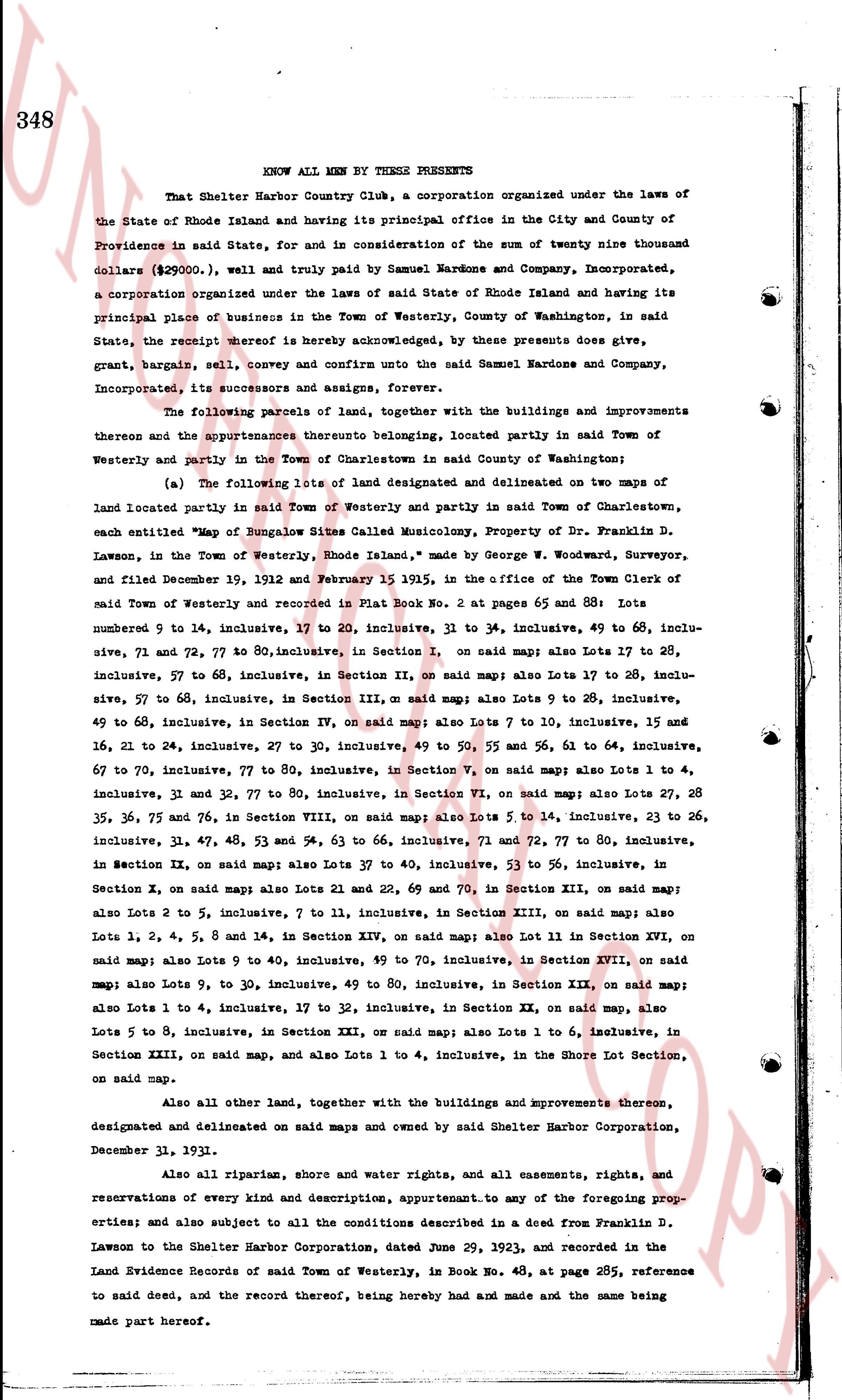
KNOW ALL MEN BY THESE PRESENTS
That Shelter Harbor Country Club, a corporation organized under the laws of
the State of Rhode Island and having its principal office in the City and County of
Providence in said State, and for and in consideration of the sum of twenty nine thousand
dollars ($\text{29000.0}$), well and truly paid by Samuel Mardone and Company, Incorporated,
a corporation organized under the laws of said State of Rhode Island and having its
principal place of business in the Town of Westerly, County of Washington, in said
State, the receipt hereof is hereby acknowledged, by these presents does give,
grant, bargain, sell, convey and confirm unto the said Samuel Mardone and Company,
Incorporated, its successors and assigns, forever,
The following parcels of land, together with the buildings and improvements
thereon and the appurtenances thereto belonging, located partly in said Town of
Westerly and partly in the Town of Charlestown in said County of Washington;
(a) The following Lots of land designated and delineated on two maps of
land located partly in said Town of Westerly and partly in said Town of Charlestown,
each entitled "Map of Bungalow Sites Called Musconicus, Property of Dr. Franklin D.
Lawson, in the Town of Westerly, Rhode Island," made by George W. Woodward, Surveyor,
and filed December 19, 1912 and February 15 1915, in the office of the Town Clerk of
said Town of Westerly and recorded in Plat Book No. 2 at pages 65 and 88: Lots
numbered 9 to 14, inclusive, 17 to 20, inclusive, 31 to 34, inclusive, 49 to 60, inclu-
sive, 71 and 72, 77 to 80, inclusive, in Section I, on said map; also Lots 17 to 28,
inclusive, 57 to 68, inclusive, in Section II, on said map; also Lots 17 to 28, inclu-
sive, 57 to 68, inclusive, in Section III, on said map; also Lots 9 to 28, inclusive,
49 to 68, inclusive, in Section IV, on said map; also Lots 7 to 10, inclusive, 15 and
16, 21 to 24, inclusive, 27 to 30, inclusive, 49 to 50, and 55 and 56, 61 to 64, inclusive,
67 to 70, inclusive, 77 to 80, inclusive, in Section V, on said map; also Lot 1 to 4,
inclusive, 31 and 32, 77 to 80, inclusive, in Section VI, on said map; also Lot 27, 28
and 35, 36, 75 and 76, in Section VIII, on said map; also Lots 5 to 14, inclusive, 23 to 26,
inclusive, 31, 47, 48, 63 to 66, inclusive, 71 and 72, 77 to 80, inclusive,
in Section IX, on said map; also Lots 19, inclusive, 53 to 56, inclusive, in said
Section X, on said maps also Lots 21 and 22, 69 and 70, in Section XII, on said map;
also Lots 2 to 5, inclusive, 7 to 11, inclusive, in Section XIII, on said map; also
Lots 1, 2, 4, 5, 8 and 14, in Section XIV, on said map; also Lot 11 in Section XVI, on
said map; also Lots 9 to 14, inclusive, 49 to 70, inclusive, in Section XVII, on said
map; also Lots 9 to 30, inclusive, 49 to 80, inclusive, in Section XIX, on said map;
also Lots 5 to 14, inclusive, 17 to 32, inclusive, in Section XX, on said map, also
Lots 5 to 8, inclusive, in Section XXI, on said map; also Lots 1 to 6, inclusive, in
Section XXIII, on said map, and also Lots 1 to 4, inclusive, in the Shore Lot Section,
on said map.
Also all other land, together with the buildings and improvements thereon,
designated and delineated on said maps and owned by said Shelter Harbor Corporation,
December 31, 1931.
Also all riparian and shore water rights, and all easements, rights, and
reservations of every kind and description, appurtenant to any of the foregoing prop-
erties; and also subject to all the conditions described in a deed from Franklin D.
Lawson to the Shelter Harbor Corporation, dated June 29, 1923, and recorded in the
Land Evidence Records of said Town of Westerly, in Book No. 48, at page 285, reference
to said deed, and the record thereof, being hereby made and made and the same being
made part hereof.
page 2
349
(b) Also that certain lot or parcel of land lying between the Shelter Harbor property
line as designated and delineated on the aforesaid map and the Post Road, so-called, which is
marked on said map as "Private Property of Dr. Franklin D. Lawson."
(c) Also a tract of land lying North of the Post Road, aforesaid, generally known
as the Perkins Farm, containing forty and one-half acres, more or less, particularly
described in a deed recorded in the Land Records of said Town of Westerly, in Book No. 42,
at Page 400, and in the Land Records of said Town of Charlestown, in Book No. 18, at page
147.
(d) Also a tract of land lying North of the Post Road aforesaid, generally known
as the Alner Browning Farm particularly described in a deed recorded in the Land Records of
said Town of Westerly, in Book No. 49, at page 11, and containing approximately one hundred
sixty-three acres of land.
(e) Also all driveways, parks, square, groves, forests, dunes and the beach lying
south thereof as designated and delineated on the aforesaid maps and also all land conveyed
to this grantor by deed from this grantee of even date herewith and also including Symphony
Beach extending from line marked "Westquark" easterly to line marked "U. S. Life Station,"
containing about forty-five hundred (4500) linear feet of ocean beach.
(f) Also that certain lot or parcel of land adjacent to and just north of the
Dunes as designated on said map as "Private property of Dr. Franklin D. Lawson," bounded on
the east by a line parallel and four hundred (400) feet west of the division line of the
Towns of Westerly and Charlestown running from a point where said parallel line intersects
said Dunes in a generally western direction four hundred (400) feet bounded on the south by
said Dunes and the Atlantic Ocean, thence turning at an angle of approximately ninety (90°)
degree and running in a general northerly direction including and including the parcel marked Madrigal
Island and all beach and beach lots shown on said map.
Meaning and intending hereby to convey to said mortgagee all and singular the
parcels of land mentioned and described in two deeds from Shelter Harbor Corporation to
the mortgagor herein, the first of which said deeds is dated the 16th day of December, A. D.
1926 and is recorded in Land Evidence Records in said Westerly in Book 53 at pages 139 to 140,
Charlestown Book 24 page 54, and the second of said deed being dated the 26th day of June
A. D. 1928 and recorded in said Land Evidence Records of said Westerly in Book 53 at page 141,
Charlestown Book 24, page 56, and which said properties are delineated and marked out on "Map
of Shelter Harbor formally known and recorded as Muscadinity (some change March 1st, 1918)
property of Franklin D. Lawson Towns of Westerly, R. I. engraved by the Williams Map and Guide
Co. from a survey made in 1912 by George W. Woodard, scale 400 feet to the inch and which
said map is recorded in said Land Evidence Records of said Westerly in Book 53 at page 140;
and which said properties are also shown on "Map of Bungalow Sites Called Musicality Property
of Dr. Franklin D. Lawson, in the Town of Westerly, Rhode Island, 1912, scale 200 feet to an
inch by George W. Woodward" which said map is contained in two sheets, sheet two of which is
recorded on page 65 from Plat Book No. 2 in said Westerly and sheet one of which is recorded in
Plat Book No. 2 at page 88, as well as all other land owned by said mortgagor and in any way
herein referred to by plat or otherwise.
The above described premises are conveyed subject to mortgages restrictions, ease-
ments, and attachments of record.
TO HAVE AND TO HOLD, the said granted and bargained premises, with all the privileges,
and appurtenances to the same belonging, or in any wise appertaining to the said grantee, its
successors and assigns, forever.
page 3
350
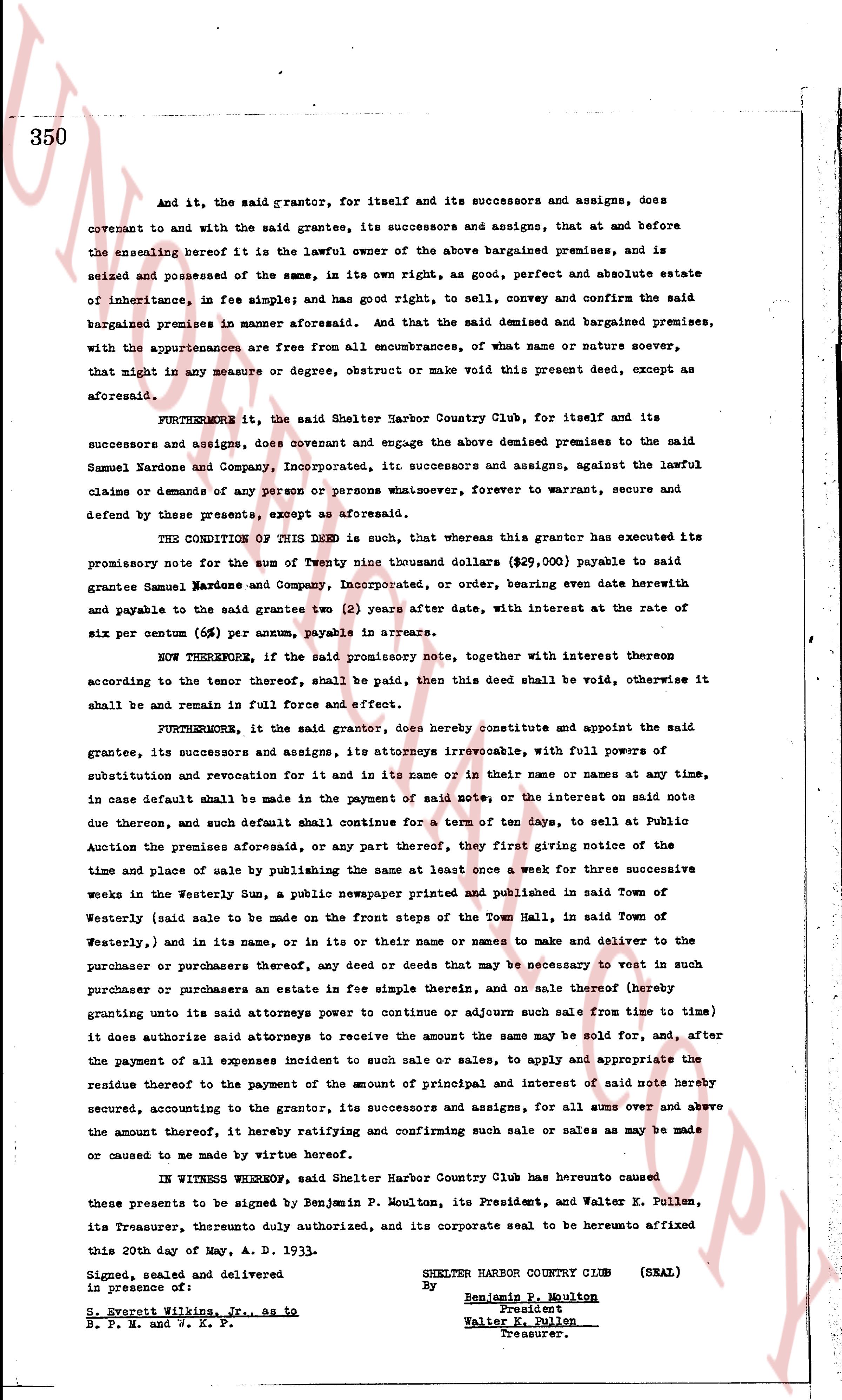
And it, the said grantor, for itself and its successors and assigns, does
covenant to and with the said grantees, its successors and assigns, that and at before
the ensealing hereof it is the lawful owner of the above bargained premises, and is
seized and possessed of the same, in its own right as, good, perfect and absolute estate
of inheritance, in fee simple; and has good right to, sell, convey and confirm the said
bargained premises in manner aforesaid. And that the said demised and bargained premises,
with the appurtenances are free from all encumbrances, of what name or nature soever,
that might in any measure or degree, obstruct or make void this present deed, except as
aforesaid.
FURTHERMORE, it, the said Shelter Harbor Country Club, for itself and its
successors and assigns, does covenant and engage the above demised premises to the said
Samuel Kardone and Company, Incorporated, its successors and assign, against the lawful
claims or demands of any person or persons whatsoever, forever to warrant, secure and
defend by these presents, except as aforesaid.
THE CONDITION OF THIS Deed is such, that whereas this grantor has executed its
promissory note for the sum of Twenty nine thousand Dollars ($29,000) payable to said
grantee Samuel Kardone and Company, Incorporated, or order, bearing eve date herewith
and payable to the said grantees two (2) years after date, with interest at the rate of
six per centum (6%) per annum, payable in arrears.
NOW THEREFORE, if the said promissory note, together with all interest thereon
according to the tenor thereof, shall be paid, then this deed shall be void, otherwise it
shall be and remain in full force and effect.
FURTHERMORE, it the said grantor, does hereby constitute and appoint the said
grantees, its successors and assigns, its attorneys irrevocable, with full powers of
substitution and revocation for it, and in its name or in their names or at any time, in
case default shall be made in the payment of said note, or the interest on said note
due therefore, and such default shall continue for a term of ten days, to sell at Public
Auction the premises aforesaid, or any part thereof, first giving notice of the
time and place of sale by publishing the same at least once a week for three successive
weeks in the Westerly Sun, a public newspaper printed and published in said Town of
Westerly (said sale to be made on the front steps of the Town Hall, in said Town of
Westerly) and in its name, or in its the in their name or names to make and deliver to the
purchaser or purchasers any deed or deeds that may be necessary to vest in such
purchaser or purchasers an estate in fee simple therein, and on sale thereof hereby
granting unto its said attorneys power to continue or adjourn such sale from time to time
it does authorize said attorneys to receive the amount the same may be sold for, and, after
the payment of all expenses incident to such sale or sales, to apply and appropriate the
residue therefore to the payment of the amount of principal and interest of said note hereby
secured, accounting to the grantor, its successors and assigns, for all sums over and above
the amount thereof, by hereat ratifying and confirming such sale or sales as may be made
or caused to me made by virtue hereof.
In WITNESS WHEREOF, said Shelter Harbor Country Club has hereto caused
these presents to be signed by Benjamin P. Moulton, its President, and Walter K. Pullen,
its Treasurer, dually authorized, and its corporate seal to be herunto affixed
this 20th day of May, A. D. 1933.
Signed, sealed and delivered
in presence of:
S. Everett Williams, Jr., as to
R. F. M. and S. K. P.
SHELTER HARBOR COUNTRY CLUB (SEAL)
By Benjamin P. Moulton
President
Walter K. Pullen
Treasurer.
page 4
351
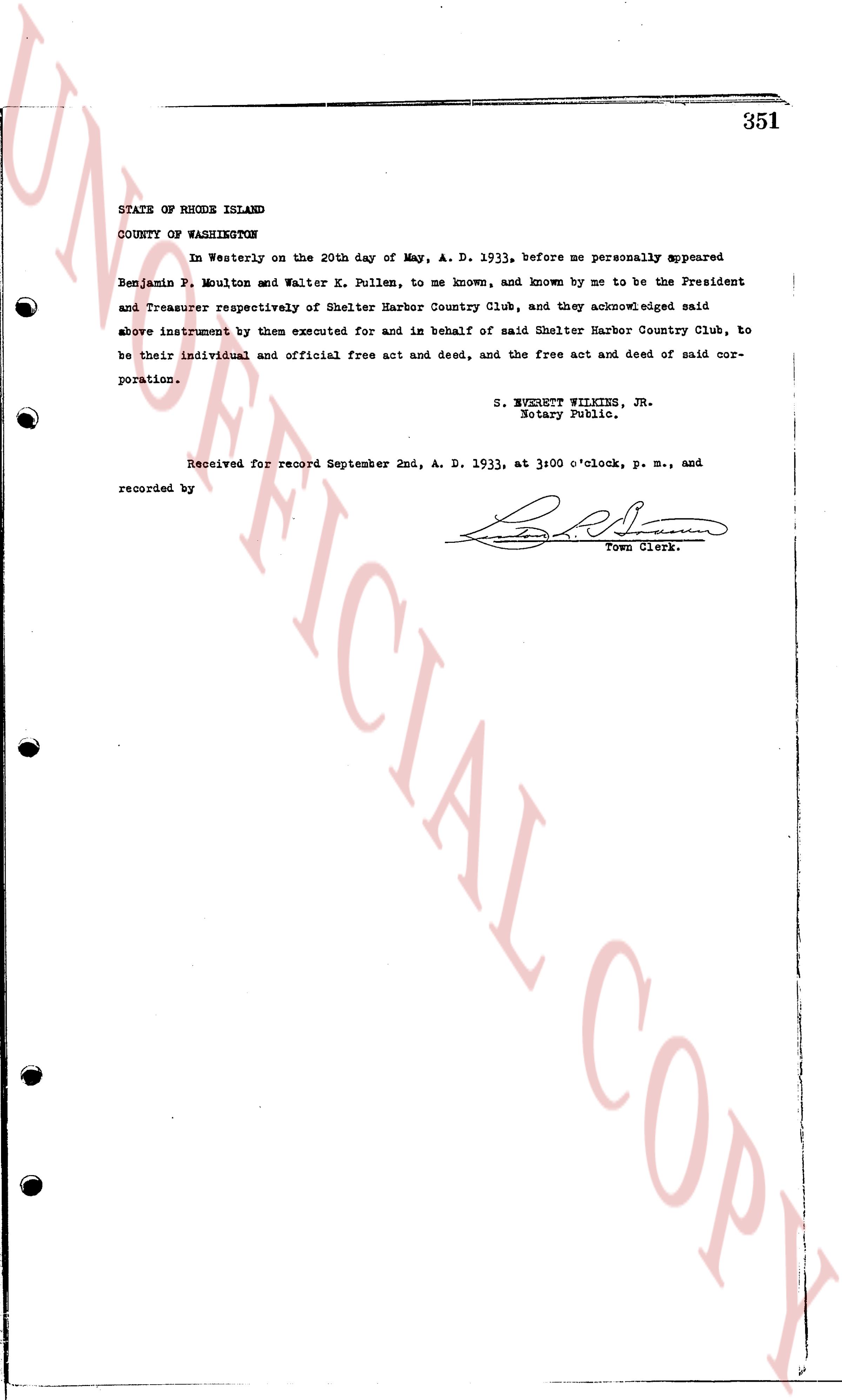
STATE OF RHODE ISLAND
COUNTY OF WASHINGTON
In Westerly on the 20th day of May, A. D. 1933, before me personally appeared
Benjamin F. Moulton and Walter K. Pullen, to me known, and known by me to be the President
and Treasurer respectively of Shelter Harbor Country Club, and they acknowledged said
above instrument by them executed for and in behalf of said Shelter Harbor Country Club, to
be their individual and official free act and deed, and the free act and deed of said cor-
poration.
S. EVERETT WILKINS, JR.
Notary Public.
Received for record September 2nd, A. D. 1933, at 3:00 o'clock, p. m., and
recorded by [Signature]
Town Clerk.
The page as recorded