The instrument's own words
page 1
335
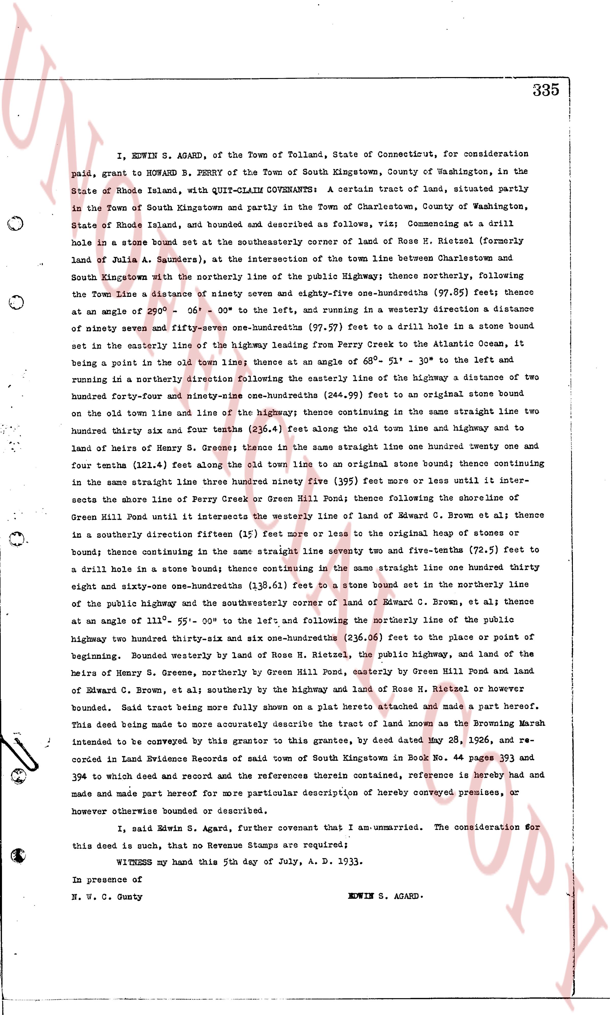
I, EDWIN S. AGARD, of the Town of Tolland, State of Connecticut, for consideration
paid, grant to HOWARD B. PERRY of the Town of South Kingstown, County of Washington, in the
State of Rhode Island, with QUIT-CLAIM COVENANTS: A certain tract of land, situated partly
in the Town of South Kingstown and partly in the Town of Charlestown, County of Washington,
State of Rhode Island, and bounded and described as follows, viz; Commencing at a drill
hole in a stone bound set at the southeasterly corner of land of Hose R. Hietzel (formerly
land of Julia A. Saunders), at the intersection of the town line between Charlestown and
South Kingstown with the northerly line of the public Highway; thence northerly, following
the Town line a distance of ninety seven and eighty-five one-hundredths (97.85) feet; thence
at an angle of 29° - 56' - 00" to the left, and running in a westerly direction a distance
of ninety seven and fifty-seven one-hundredths (97.57) feet to a drill hole in a stone bound
set in the easterly line of the highway leading from Perry Creek to the Atlantic Ocean, it
being a point on the old Town line; thence at an angle of 68° - 31' - 30" to the left and
running in a northerly direction following the easterly line of the highway a distance of two
hundred forty-four and ninety-one one-hundredths (244.91) feet to an original stone bound
on the old town line and line of the highway; thence continuing in the same straight line two
hundred thirty six and four tenths (236.4) feet along the old town line and highway to a
land of heirs of Henry S. Greener; thence in the same straight line one hundred twenty one
and four tenths (121.4) feet along the old town line to an original stone bound; thence continuing
in the same straight line three hundred ninety five (395) feet more or less until it inter-
sects the shore line of Perry Creek or Green Hill Pond; thence following the shoreline of
Green Hill Pond until it intersects the westerly line of land of Edward C. Brown, et al; thence
in a southerly direction fifteen (15) feet more or less to the original heap of stones or
bound; thence continuing in the same straight line seventy two and five-tenths (72.5) feet to
a drill hole in a stone bound; thence continuing in the same straight line one hundred thirty
eight and sixty-one one-hundredths (138.61) feet to a stone bound set in the northerly line
of the public highway and the southeasterly corner of land of Edward C. Brown, et al; thence
at an angle of 111° - 55' - 00" to the left; and following the northerly line of the public
highway two hundred thirty-six and one one-hundredths (236.01) feet to the place or point of
beginning. Bounded westerly by land of Hose R. Hietzel, the public highway, and land of the
heirs of Henry S. Greener, northerly by Green Hill Pond, easterly by Green Hill Pond and land
of Edward C. Brown, et al; southerly by the highway and land of Hose R. Hietzel or however
bounded. Said tract being more fully shown on a plat hereto attached and made a part hereof.
This deed being made to more accurately describe the tract of land known as the Browning Marsh
intended to be conveyed by this grantor to this grantee, by deed dated May 28, 1926, and re-
corded in Land Evidence Records of said town of South Kingstown in Book No. 393 and
394 to which deed and record and the references therein contained, reference is hereby had and
made and part hereof for more particular description of hereby conveyed premises, or
however otherwise bounded or described.
I, said Edwin S. Agard, further covenant that I am unmarried. The consideration for
this deed is such, that no Revenue Stamps are required;
WITNESS my hand this 5th day of July, A. D. 1933.
In presence of
N. W. C. Gunty EDWIN S. AGARD.
page 2
PLAT OF LAND IN THE TOWNS OF
CHARLESTOWN AND
SOUTH KINGSTOWN, R.I.
OWNER: B. PERRY
HOWARD B. PERRY
SURVEYED AND PLATTED
APRIL MAY, 1933.
LEON L. HOLLAND, P.E.
LEON L. HOLLAND, P.E.
REG. ENGINEER
SCALE 1" = 100'
CHARLESTOWN POND
PERRY CREEK
GREEN HILL POND
HIGHWAY
(FROM SOUTH KINGSTOWN)
TOWN OF CHARLESTOWN
PRESENT TOWN LINE 1933
TOWN OF SOUTH KINGS TOWN
HIGHWAY
(TO SOUTH KINGSTOWN)
ATLANTIC OCEAN
page 3
336
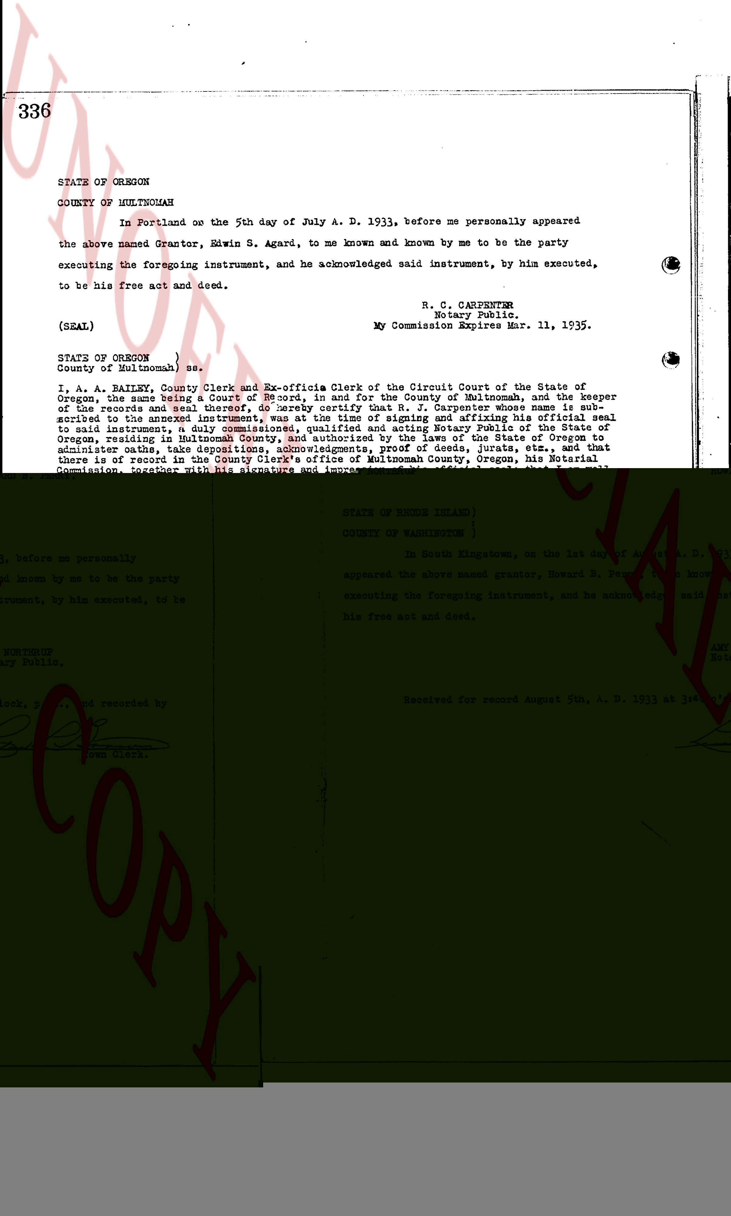
STATE OF OREGON
COUNTY OF MULTNOMAH
In Portland on the 5th day of July A. D. 1933, before me personally appeared
the above named Grantor, Edwin S. Agard, to me known and known by me to be the party
executing the foregoing instrument, and he acknowledged said instrument, by him executed,
to be his free act and deed.
R. C. CARPENTER
Notary Public.
My Commission Expires Mar. 11, 1935.
(SEAL)
STATE OF OREGON )
County of Multnomah ) ss.
I, A. A. BAILEY, County Clerk and Ex-officio Clerk of the Circuit Court of the State of
Oregon, the same being a Court of Record, and for the County of Multnomah, and the keeper
of the records of said Court, do hereby certify that the foregoing instrument, to which is at-
tached the seal of the Notary Public, R. C. CARPENTER, whose signature is subscribed
to the annexed instrument, was at the time of signing and affixing his official seal
to said instrument, a duly commissioned, qualified and acting Notary Public of the State of
Oregon, and resident of the County of Multnomah, State of Oregon, and that he is duly
authorized to administer oaths, take depositions, acknowledgments, proof of deeds, jurats, etc., and that
there is in my office at the County Seat of said County, Oregon, a true copy of his
Commission, together with his signature and impression of his official seal; that I am well
acquainted with his handwriting, and that the signature of said Notary Public is genuine, and
seal upon said instrument are genuine. I further certify that the annexed instrument is
executed according to the laws of the State of Oregon, and that said Certificate is in due
form of law.
IN TESTIMONY WHEREOF, I have hereunto set my hand and affixed the seal of said Court this
25th day of July A. D. 1933.
A. A. BAILEY
County Clerk and Ex-officio Clerk of the
Circuit Court.
Received for record August 5th, A. D. 1933 at 3:35 o'clock, p. m., and re-
corded by [Signature] Town Clerk
The page as recorded