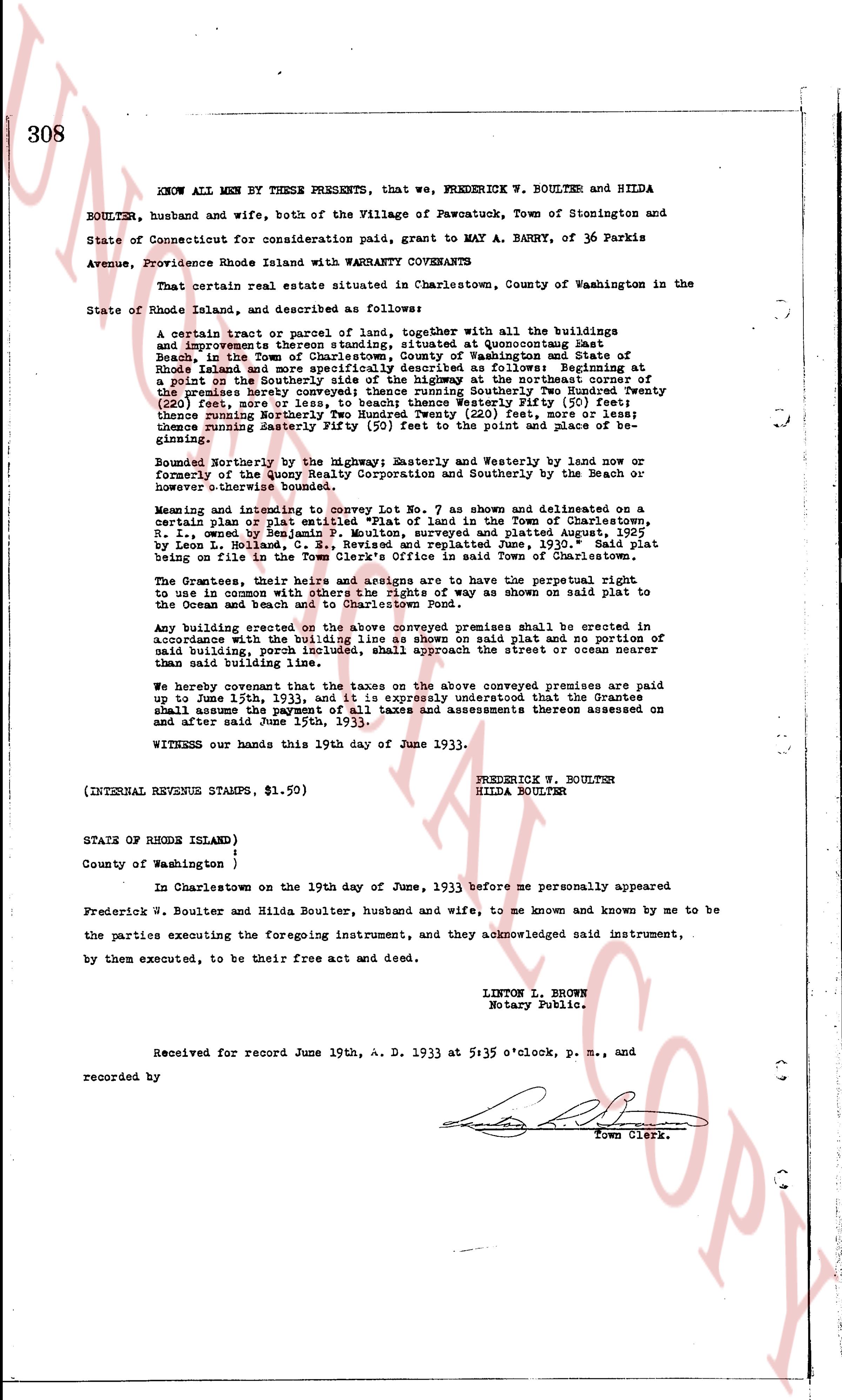
The instrument's own words
page 1
308
KNOW ALL MEN BY THESE PRESENTS, that we, FREDERICK W. BOULTER and HILDA
BOULTER, husband and wife, both of the Village of Pawotuck, Town of Stonington and
State of Connecticut for consideration paid, grant to MAY A. BARRY, of 36 Parkis
Avenue, Providence Rhode Island with WARRANTY CONVEYANCE
That certain real estate situated in Charlestown, County of Washington in the
State of Rhode Island, and described as follows:
A certain tract or parcel of land, together With all the buildings
and improvements thereon standing, situated in Charlestown at Beaucourt
Beach in the Town of Charlestown, County of Washington and State of
Rhode Island and more specifically described as follows: Beginning at
a point on the South westerly corner of the highway at the South easterly corner of
the premises hereby conveyed thence running South westerly Two Hundred Twenty
(220) feet, more or less, to beach; thence Westerly Fifty (50) feet;
thence Northerly Two Hundred Twenty (220) feet, more or less; then
thence running Easterly Fifty (50) feet to the point of place and of be-
ginning;
Bounded Northerly by the Highway; Easterly and Westerly by land of now or
formerly of the Quoy Realty Corporation and Southerly by the Beach or
nowhere thereis boundary.
Meaning and intending to convey Lot No. 7 as shown and delineated on a
certain plan or plat entitled "A plan of the land in the Town of Charlestown,
R. I. owned by Herbert S. Quoy" surveyed and plated August 25th, 1925
by Leon L. Holland, C. E., Revised and replated June, 1930. Said plat
being on file in the Town Clerk's Office in said Town of Charlestown.
The Grantees, their heirs and assigns are to have the perpetual right
to use in common with others the right of way as shown on said plat to
the Ocean and beach and to Charlestown Pond.
Any building erected on the above conveyed premises shall be erected in
accordance with the building restrictions shown on said plat and no portion of
said building, porch included, shall approach the street or ocean nearer
than 25 feet.
We hereby covenant that the taxes on the above conveyed premises are paid
up to June 15th, 1933, and it is expressly understood that the Grantee
shall assume the payment of all taxes and assessments thereon assessed on
and after said June 15th, 1933.
WITNESS our hands this 19th day of June 1933.
(INTERNAL REVENUE STAMPS, $1.50)
FREDERICK W. BOULTER
HILDA BOULTER
STATE OF RHODE ISLAND )
ss.
County of Washington )
In Charlestown on the 19th day of June, 1933 before me personally appeared
Frederick W. Boulter and Hilda Boulter, husband and wife, to me known and known by me to be
the parties executing the foregoing instrument, and they acknowledged said instrument,
by them executed, to be their free act and deed.
LINTON L. BROWN
Notary Public.
Received for record June 19th, A. D. 1933 at 5:35 o'clock, p. m., and
recorded by
Town Clerk.
The page as recorded