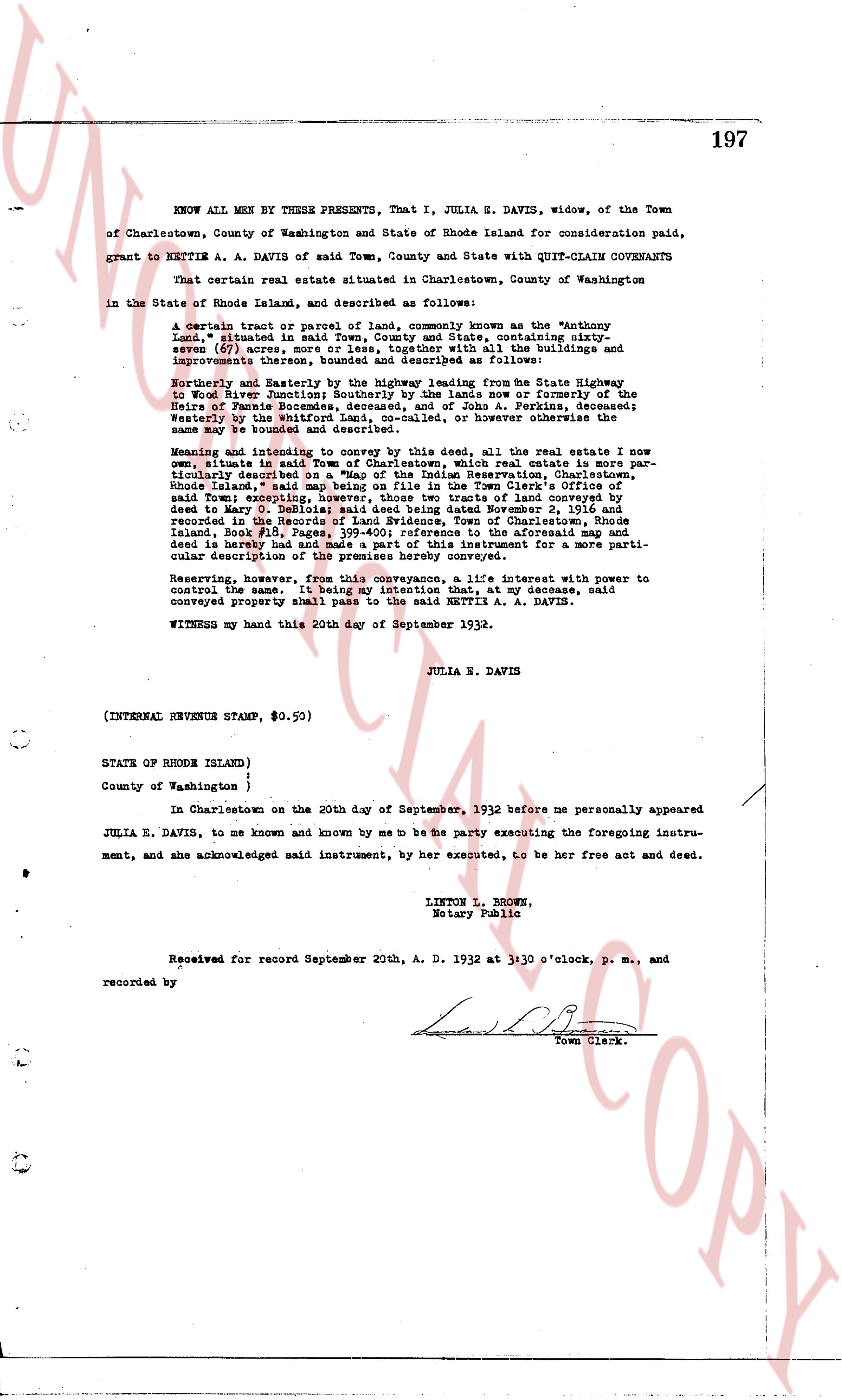
The instrument's own words
page 1
197
KNOW ALL MEN BY THESE PRESENTS, That I, JULIA S. DAVIS, widow, of the Town
of Charlestown, County of Washington and State of Rhode Island for consideration paid,
grant to NETTIE A. A. DAVIS of said Town, County and State with QUIT-CLAIM COVENANTS
That certain real estate situated in Charlestown, County of Washington
in the State of Rhode Island, and described as follows:
A certain tract or parcel of land, commonly known as the Wantonly
Land," situated in said Town, County and State, containing sixty
seven (67) acres more or less, together with all the buildings and
improvements thereon, bounded and described as follows:
Northerly and Easterly by the highway leading from the State Highway
to Woods River Junction and by the line of the land now or formerly of the
Heirs of Zenas Bournes, deceased, and of John A. Perkins, deceased;
Westerly by the Uniform Railroad, or however otherwise the
same may be bounded and described.
Meaning and intending to convey and bargain by this deed, all the real estate I now
own, situate in said Town, County and State/Charlestown, which real estate is more par-
ticularly described on "A Map of the Indian Reservation, Charlestown,
Rhode Island," said map being recorded in the Town Clerk's Office,
said Town excepting, however, those two tracts of land conveyed by
deed to Mary D. Salisbury, dated and signed November 2, 1916, and
recorded in the Records of Land Evidence, Town of Charlestown, Rhode
Island, said Map being a reference to the aforesaid map and
deed is hereby had and made a part of this instrument for a more parti-
cular description of the premises hereby conveyed.
Reserving, however, for the use of myself and my successors, a life interest with power to
control the same. It being my intention that, at my decease, said
conveyed property shall pass to the said NETTIE A. A. DAVIS.
WITNESS my hand this 20th day of September 1932.
JULIA S. DAVIS
(INTERNAL REVENUE STAMP, $0.50)
STATE OF RHODE ISLAND )
)
County of Washington )
In Charlestown on the 20th day of September, 1932 before me personally appeared
JULIA S. DAVIS, to me known and known by me to be the party executing the foregoing instru-
ment, and she acknowledged said instrument, by her executed, to be her free act and deed.
LINTON L. BROWN,
Notary Public
Received for record September 20th, A. D. 1932 at 3:30 o'clock, P. M., and
recorded by
Town Clerk.
The page as recorded