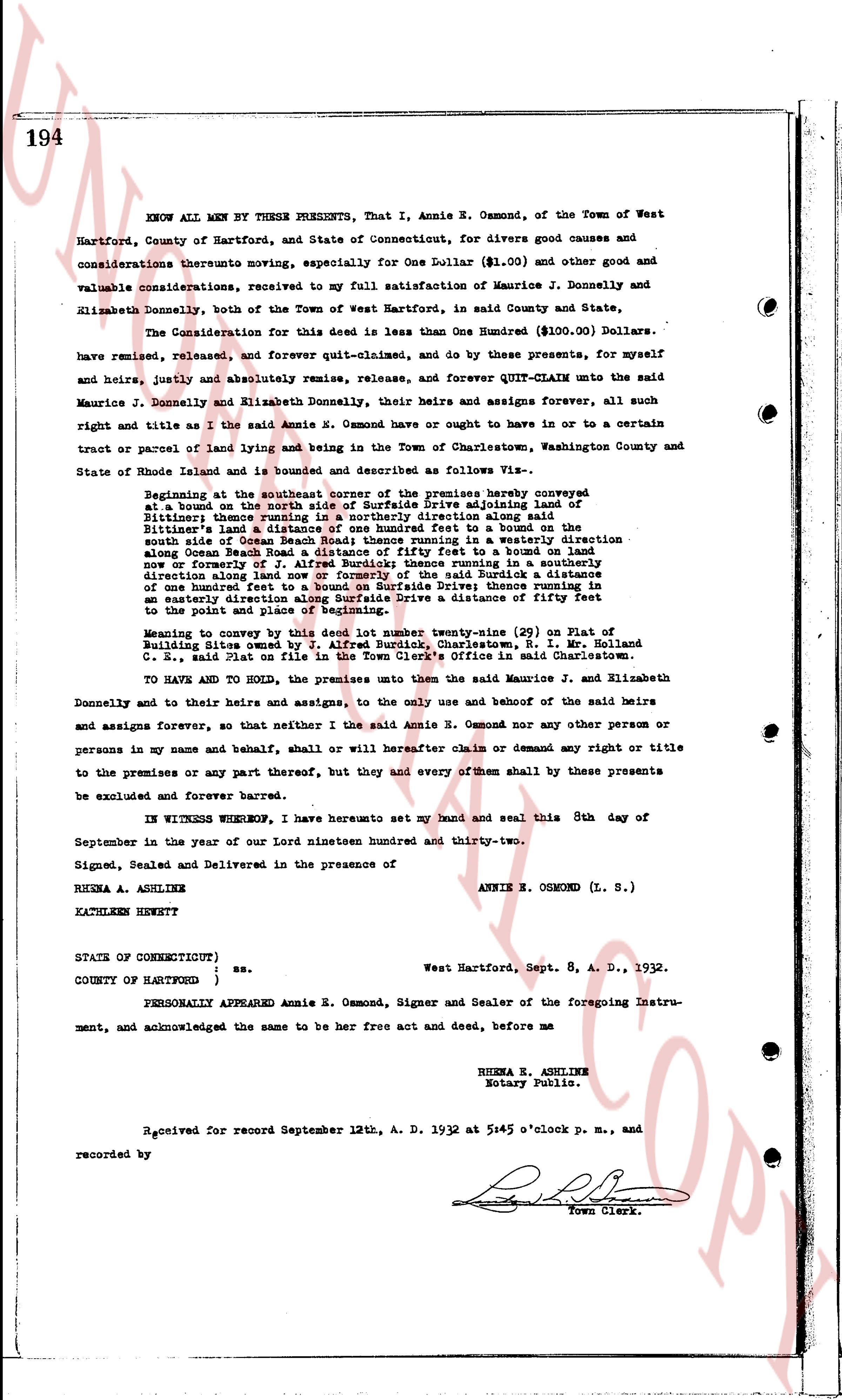
The instrument's own words
page 1
192
Know All Men by these Presents:
That, Whereas, I, William A. Wilcox, of the town of Stonington, County of New London
and State of Connecticut, did on the 5th day of September A. D. 1916, execute and
deliver to Frederic N. Staeber, hereinafter referred to, a certain warranty deed
conveying certain land situated in the town of Charlestown, Washington County and
state of Rhode Island, in which deed by mistake, the name of the grantee is written
as Frank R. Staeber, which deed is recorded in the Records of Deeds of said town of
Charlestown, Book 18, page 394;
and Whereas, the true name of the grantee in the above named deed is Frederic N.
Staeber and should have been so written in said deed;
and Whereas, it is desired to correct said error;
Now Therefore, for the purpose of correcting the error aforesaid and that the true
name of the grantee may appear in the deed of conveyance of the land above referred
to and hereinafter more particularly described, I the said William A. Wilcox, in
consideration of the premises and payment of one dollar, to me paid by the said Frederic
N. Staeber, of Fort Pierce, State of Florida, the receipt whereof is hereby acknowledged, do hereby grant, bargain, sell and convey unto the said grantees,
and his heirs and assigns forever,
two tracts of land situated in said town of Charlestown, state of Rhode Island,
described to wit
First tract is known as Lot Number 20 on page 1 on Beach Land owned by Mary Burdick
et al. on survey by E. A. Henson Co. E., scale one inch to forty feet, dated July
1912, on file in the town clerks office in said town of Charlestown, described to
wit: Beginning at the south-east corner of said premises at a stub in the ground,
the line runs thence westerly along the beach 83 feet to a stub in the ground;
thence northerly 150 feet to a stub in the ground; thence easterly 50 feet to a stub
in the ground; thence southerly 150 feet, more or less, to place of beginning, being
bounded south by Atlantic Ocean; east by land of estate of James S. Kenyon; north
by a proposed highway and west by land of Mary Burdick et al.
Second tract is known as Lot number 14 and Lot number 15 on the said Plan and is
described, to wit: Beginning at the south-east corner of this tract at a stub in the
ground, the line runs westerly 100 feet to a stub in the ground; thence northerly
150 feet to a stub in the ground; thence easterly 100 feet to a stub in the ground;
thence southerly 150 feet to place of beginning, and is bounded south by the Atlantic
Ocean; east by land of Jessie Larkin Merritt; west and by land of Mary Burdick et al
and north by a proposed highway; together with a right of way over and across other
lands of Mary Burdick et al along the proposed highway to the Macadam Road and through
the proposed passageway to the pond, as shown on Map or Plan.; no cottage shall be built
south of the building line as shown on Map or Plan.; meaning no conveyance by this deed all
the land desired to this grant by Mary Burdick et al by deed dated January 6th, 1914,
and subject to all its restrictions.
To Have and To Hold, the aforesaid premises, with all the privileges and appurtenances
thereto belonging, unto and to the use of said grantees, and his heirs and assigns
forever.
And I the said grantor, do hereby, for myself and for my heirs, executors and administrators,
covenant with the said grantees and his heirs and assigns that I am lawfully seized
in fee simple of the said granted premises; and that the same are free from all encumbrances;
page 2
193
that I have good right, full power and lawful authority to sell and convey the same in
manner as aforesaid; that the said grantees and his heirs and assigns shall by these presents
at all times hereafter peacefully and quietly have and enjoy the said premises, and that I
the said grantor will, and my heirs, executors and administrators shall, warrant and defend
the same to the said grantee and his heirs and assigns forever against the unlawful claims
and demands of all persons.
And for the consideration aforesaid I, Augusta Wilcox, wife of the said William A. Wilcox
do hereby release all my right of dower in and to the said granted premises unto the said
grantee and his heirs and assigns, forever.
In Witness Whereof, we have hereunto set our hands and seals this 6th day of July A. D.
1917.
Signed, sealed and delivered
in presence of:
ALBERT G. MARTIN
ETHEL I. CLARK
WILLIAM A. WILCOX (SEAL)
AUGUSTA WILCOX (SEAL)
State of Connecticut
County of New London as.
In the town of Stonington on the 6th day of July A. D. 1917, before me personally appeared
William A. Wilcox and Augusta Wilcox his wife, to me known and known by me to be the parties
executing the foregoing instrument, and have acknowledged said instrument, by them executed,
to be their free act and deed.
ALBERT G. MARTIN
Notary Public.
Received for record September 12th, A. D. 1932 at 1:05 o'clock p. m., and
recorded by [Signature]
Town Clerk.
The page as recorded