The instrument's own words
page 1
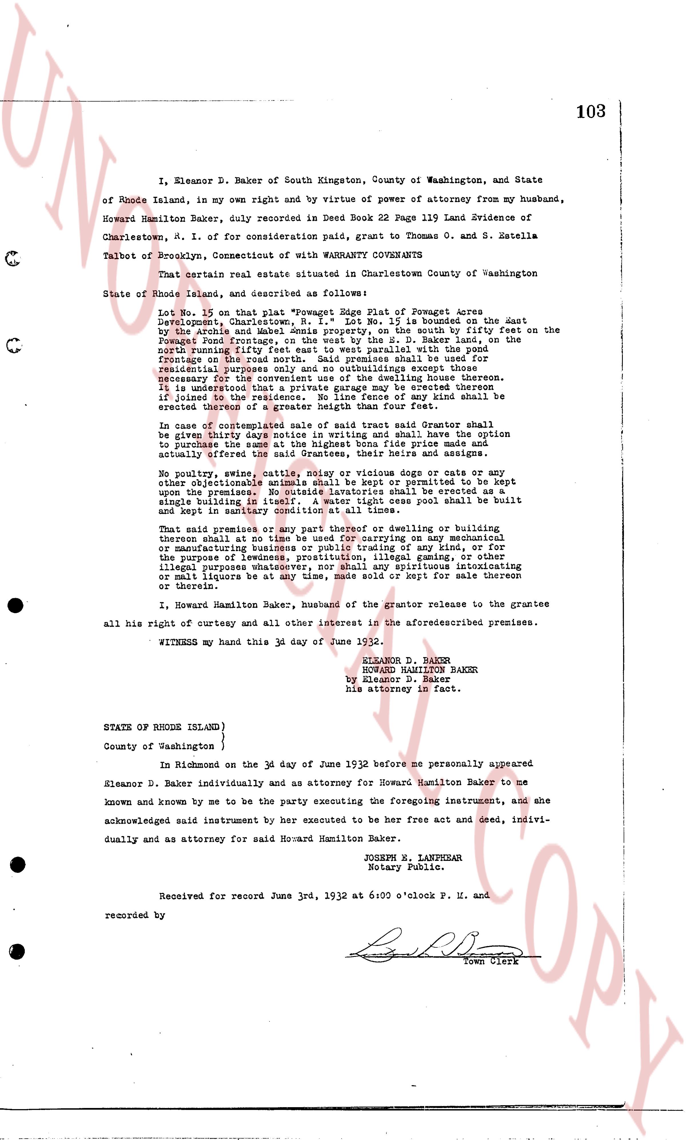
102
KNOW ALL MEN BY THESE PRESENTS, That I, ALINA PIIPARI, of 49 Seaman Avenue,
Inwood, New York, N. Y. for consideration paid, grant to JOHN LAINE, of the Town of
Charlestown, County of Washington and State of Rhode Island with QUIT-CLAIM COVENANTS
That certain real estate situated in Charlestown, County of Washington in
the State of Rhode Island, and described as follows:
a certain tract of land situated in the Town of Charlestown
County of Washington and State of Rhode Island, containing
by estimation 50 acres more or less, with the dwelling house
and other improvements thereon now standing, bounded as follows:
On the North by Patowacket River on the east by land of Peter
Kempri on the South by the Soumeacuton brook on the East a Donast
and on the North Donast Stream or however otherwise bounded
Reserving the burying ground on said premises. Reserving
also a convenient right of way to pass and repass with ve-
hicles or foot rolls along the edge of the above described tract
from other land of Peter Kempri to the highway for said Peter
Kempri, his heirs and assigns forever. Reserving also the right to
query any granite on said premises and that hereafter deriving on said premises
and remove the same therefrom.
Being the same premises recorded in land Evidence, Town of
Charlestown, Book 52, Page 339, No 342; also the same premises that
were conveyed to above mentioned Grantor, by Commissioner's
Deed, dated January 26th, 1931, and recorded in the
Records of Land Evidence of said Charlestown, Book #24, Page 344.
I hereby covenant that I am a single woman.
WITNESS my hand this 28th day of May 1932.
MRS. ALINA PIIPARI
STATE OF RHODE ISLAND }
County of Washington }
In Charlestown on the 28th day of May, 1932 before me personally appeared
Alina Piipari to me known and known by me to be the party executing the foregoing
instrument, and she acknowledged said instrument, by her executed to be her free act
and deed.
LINTON L. BROWN
Notary Public.
Received for record May 28th, A. D. 1932 at 6:15 o'clock P. M. and recorded by
[Signature]
Town Clerk.
page 2
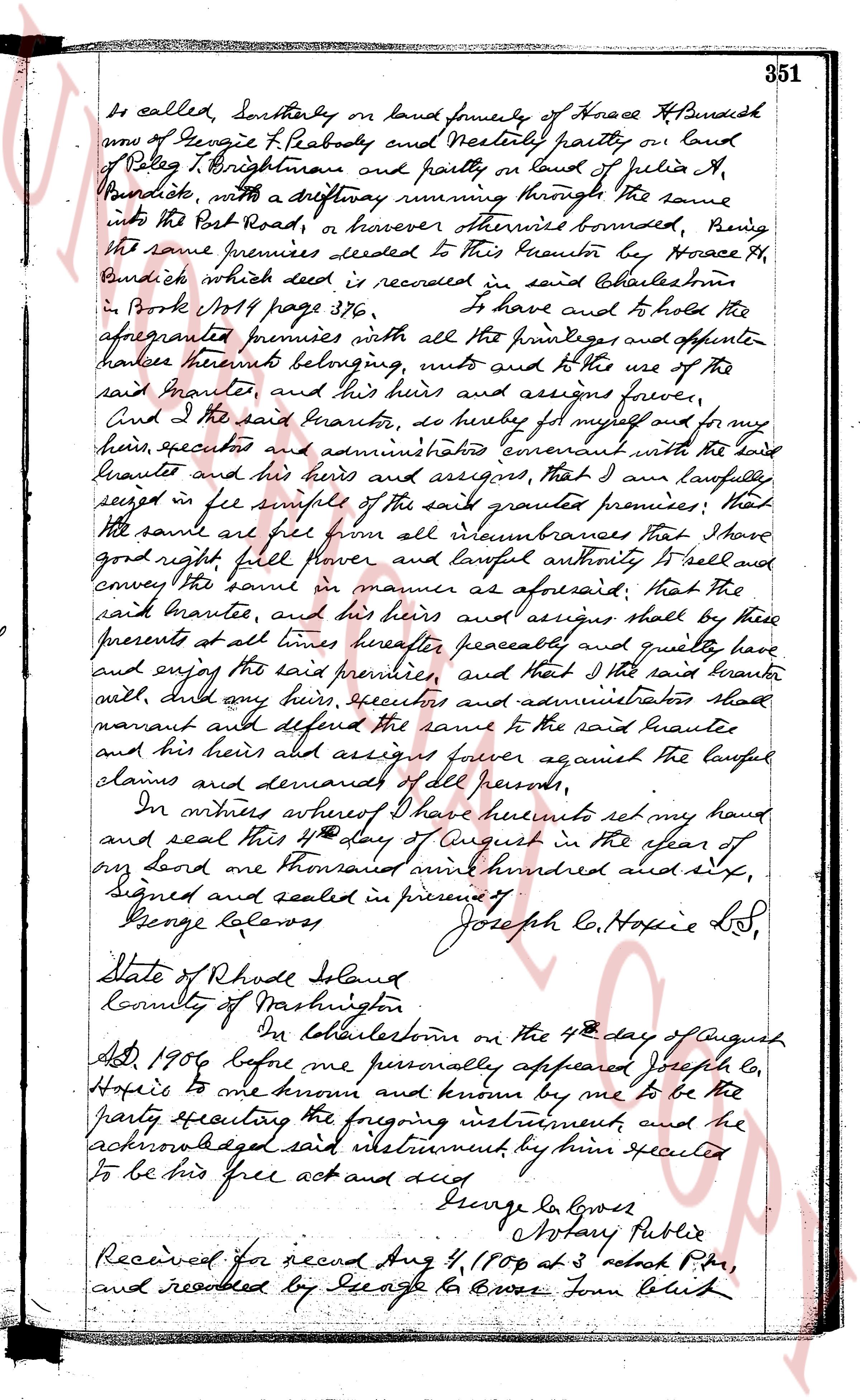
and assigns, forever against the lawful claims and demands of all
persons hereunto except as aforesaid, And for the consideration aforesaid, I
Hattie M. Thorp, do hereby release all my right of tenure in and to the
said granted premises unto the said bennite, and their heirs and assigns
forever.
In witness whereof, we have hereunto set our hands and seals
this 20th day of December in the year of our lord one thousand nine hundred and nineteen.
Executed in the presence of
Helen E. Butler wife
H. Howard E. Thorp L.S.
Hattie M. Thorp L.S.
State of Rhode Island
County of Washington
On Westerly, on the 20th day of December, 1919, before me
personally appeared Howard E. Thorp and Hattie M. Thorp to me known
and proven to be the parties executing the foregoing instrument
and acknowledged said instrument by them executed to be their
free act and deed.
Han E. Brucet
Notary Public L.S.
Received for record June 13, 1930 at 9-10 o'clock A.M.
and recorded by George A. Moore from Clerk
I Howard E. Thorp, of the Town of Westerly County of Washington and State
of Rhode Island for consideration paid, assent to the Town of Charlestown in
the County and State aforesaid with certain covenants, commencing at
a drill hole in the foundation of a wall at the southeasterly corner of land
owned by Samuel A. Davis, measured four hundred and ninety four feet
from some reference boundary (494 ft) back to a drill hole in a stone wall, thence
on a course to the last following arc one of the circumferences of a circle of
eighty and twenty one hundred and hundredths (80.21 ft) radius, a distance by
slight arc one and one hundred and hundredths (1.01 ft) to a drill hole in a stone wall;
thence running and steering angle of 35° 55' 30" and running southeasterly
forty six and one hundredths (46.01 ft) back to a drill hole in a stone wall; thence
running an internal angle of 114° 47' 30" and running southeasterly one
hundred and twenty four feet and eighty eight hundredths (124.88 ft) to land
of Emma Roberts, thence turning and running northwesterly eighty and twenty
seven hundred and hundredths (80.27 ft) along the line between said lands of Emma R.
bond and Howard E. Thorp, thence running northeasterly ninety and duty
one hundredths (90.01 ft) to a drill hole in a stone wall, thence on a
curve to the lastly following arc one of the circumference of a circle of seventy
The page as recorded