The instrument's own words
page 1 · read by Gemma vision
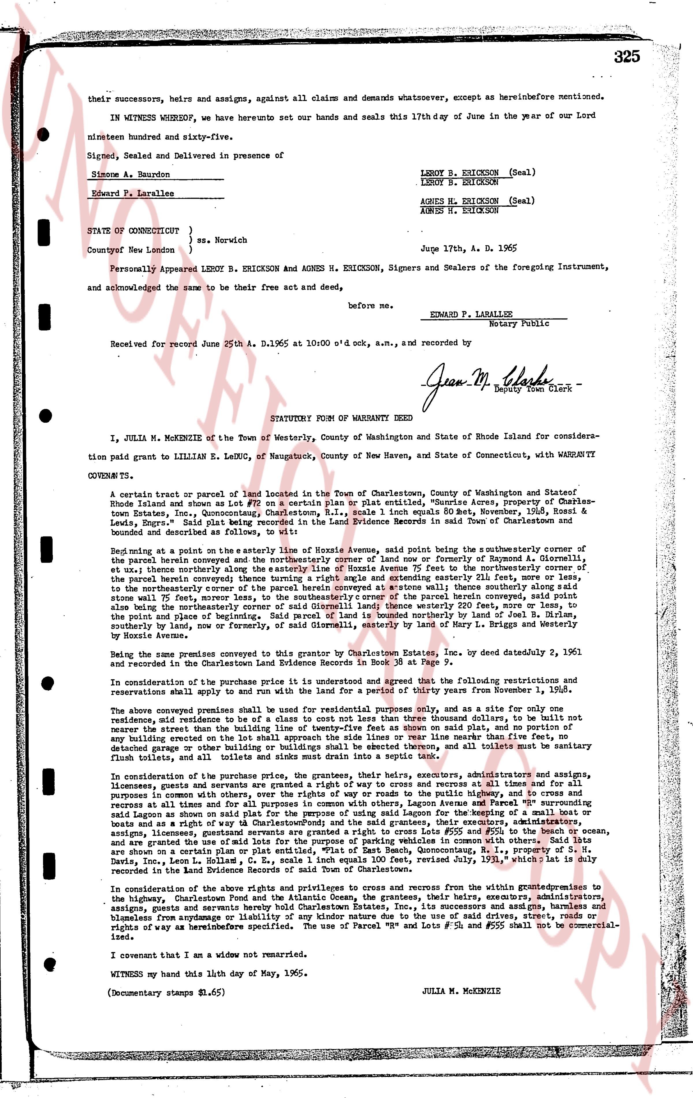
325
their successors, heirs and assigns, against all claims and demands whatsoever, except as hereinbefore mentioned.
IN WITNESS WHEREOF, we have hereunto set our hands and seals this 17th day of June in the year of our Lord nineteen hundred and sixty-five.
Signed, Sealed and Delivered in presence of
Simone A. Beaudron
Edward P. Larallee
LEROY B. ERICKSON (Seal)
LEROY B. ERICKSON
AGNES H. ERICKSON (Seal)
AGNES H. ERICKSON
STATE OF CONNECTICUT }
ss. Norwich
County of New London }
Personally Appeared LEROY B. ERICKSON and AGNES H. ERICKSON, Signers and Sealers of the foregoing Instrument, and acknowledged the same to be their free act and deed,
before me,
EDWARD P. LARALLEE
Notary Public
Received for record June 25th A. D. 1965 at 10:00 o'clock a.m., and recorded by
Jean M. Clarke
Deputy Town Clerk
----
STATUTORY FORM OF WARRANTY DEED
I, JULIA M. MCKENZIE of the Town of Westerly, County of Washington and State of Rhode Island for consideration paid grant to LILLIAN E. LEDUC, of Naugatuck, County of New Haven, and State of Connecticut, with WARRANTY COVENANTS,
A certain tract or parcel of land located in the Town of Charlestown, County of Washington and State of Rhode Island and shown as Lot FF on a certain plat map or plat entitled, "Bunce Acres, property of Charlesstown Estates, Inc., encompassing Charlestown, R.I., scale 1 inch equals 80 feet, November, 1964, Rossell H. Laisi", said plat being recorded in the Land Evidence book 34 of the Land Evidence records in said Town of Charlestown, bounded and described as follows, to wit:
Beginning at a point on the easterly line of Avenue 75 the northeasterly said point being the southeasterly corner of the parcel herein conveyed beginning at a point on the easterly line of Avenue 75 now formerly of Raymond A. Glenworthy, ell northwesterly boundary along the easterly line of Avenue 75 feet to the northeasterly corner of Avenue 75 the parcel conveyed herein thence turning a right angle and extending easterly 52.1 feet, more or less, to the northeasterly corner of the parcel herein conveyed thence turning a right angle and extending southerly 100 feet to a stone wall 75 feet, southerly moreover, to the southeasterly corner of the parcel herein conveyed, said point being also the northeasterly corner of a parcel of land conveyed to and by deed recorded in Land Evidence book 30 page 200 to the point of and place of beginning. Said parcel of land is bounded northerly by land of Leroy B. Erickson, southerly by land of [?] now or formerly of, the heirs of the estate of Henry L. Briggs and Westerly by Hozie Avenue.
The same being premises conveyed to me by Charles G. Laisi, Inc., by deed dated January 2, 1961, and recorded in the Charlestown Land Evidence and Brindle Records in Book 30 at Page 7.
In consideration of the purchase price it is understood and agreed that the following restrictions and reservations shall apply solely to and for land use with the purpose for a period of thirty years from November 1, 1965.
The above conveyed premise shall be used for residential purposes only, and for a sole and only one residence, not street than the line of the road, and no building shall be erected on said Plat, and no building or any building erected on the lot shall approach the side lines or rear line more than fifty feet, no fence, detached garage or other building shall be erected on said Plat, and no trailer, and no all terrain vehicle must be commercial flush toilets, and all toilets and sinks must drain into a septic tank.
In consideration of the purchase price, the grantees, their heirs, executors, administrators, and assigns, likewise grant and convey an easement in perpetuity for the purpose of access roads at all times and for all purposes in common with others, over the ways of right of passage to the way and public highway to the south and cross and return at all times and for all purposes in common with others, over the ways of right of passage to the way and public highway to the south and cross and return at all times and for all purposes in common of using said lagoon for the purposes of using said lagoon for the purposes of a small boat or boats and a right of way to salt beach to CharlestownPond) and the said grantees, their executors, administrators, assigns, and successors grant and convey an easement in perpetuity for the purpose of gas and electric lines #555 and #556 and #557, and are granted the use of said lots for the purpose of parking vehicles in common with others. Said lots are shown as a certain plat map entitled, "Bunce Acres, property of Charlesstown Estates, Inc., encompassing Charlestown, R.I., Davis, Inc., Leon L. Rolle, 1 inch equals 100 feet, revised July 13, 1965," which plat is duly recorded in the land evidence records of said town.
In consideration of the above rights and privileges to cross and cross from the within grantedpremises to the highway, Charlestown Pond and the Atlantic Ocean, the grantees, their heirs, executors, administrators, assigns, grants and successors and assigns grant and convey to the grantors, their successors and assigns, a right of way and license free from any damage or liability of any kind nature due to the use of said drives, street, roads or ways of hereinbefore specified. The use of Parcel "K" and Lots #555 and #556 shall not be commercial-ized.
I covenant that I am a widow not remarried.
WITNESS my hand this 11th day of May, 1965.
(Documentary stamps $1.65)
JULIA M. MCKENZIE
page 2 · read by Gemma vision
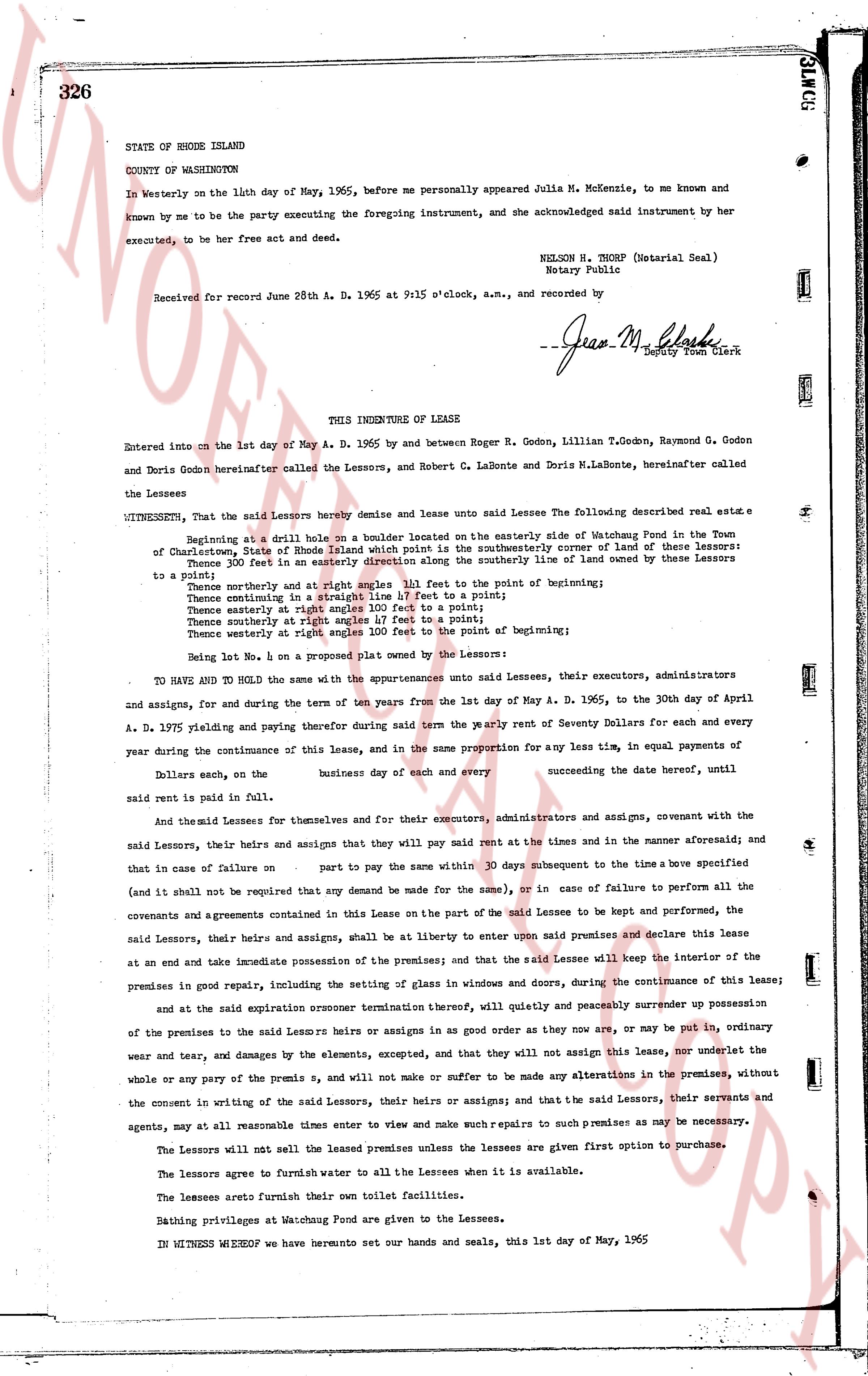
326
STATE OF RHODE ISLAND
COUNTY OF WASHINGTON
In Westerly on the 14th day of May, 1965, before me personally appeared Julia M. McKenzie, to me known and known by me to be the party executing the foregoing instrument, and she acknowledged said instrument by her executed, to be her free act and deed.
NELSON N. THORP (Notarial Seal)
Notary Public
Received for record June 28th A. D. 1965 at 9:15 o'clock, a.m., and recorded by
--Jean M. Clark
Deputy Town Clerk
----
THIS INDENTURE OF LEASE
Entered into on the 1st day of May A. D. 1965 by and between Roger R. Godon, Lillian T.Godon, Raymond G. Godon and Doris Godon hereinafter called the Lessors, and Robert C. LaBonte and Doris M.LaBonte, hereinafter called the Lessees
WITNESSETH, that the said Lessors hereby demise and lease unto said Lessees the following described real estate a
Beginning at a drill hole on a boulder located on the easterly side of Watchung Pond in the Town of Charlestown, State of Rhode Island which point is the southeasterly corner of land of three of these lessors: Thence 30.0 feet in an easterly direction to the northeasterly corner of land of one of these lessors to a point;
Thence northerly and at right angles 111 feet to a point of beginning;
Thence continuing in a straight line 17 feet to a point;
Thence easterly at right angles 111 feet to a point;
Thence southerly at right angles 47 feet to a point;
Thence westerly at right angles 100 feet to the point of beginning;
being Lot No. 1 on a property plan owned by the Lessors;
TO HAVE AND TO HOLD the same with the appurtenances unto said Lessees, their executors, administrators administrators and assigns, for and during the term of ten years from the 1st day of May A. D. 1965, to the 30th day of April A. D. 1975 yielding and paying therefore during said term the yearly rent of Seventy Dollars for each and every year during the continuance of this lease, and in the same proportion for any less time, in equal payments of Dollars said rent, on the business day of each and every succeeding the date hereof, until said rent is paid in full.
And the said Lessees for themselves and for their executors, administrators and assigns, covenant with the said Lessors, their heirs and assigns that they will pay said rent at the times and in the manner aforesaid; and in that case of failure on part to pay the same within 30 days subsequent to a time above specified (and shall not be required that any demand be made for the same), or in case of failure to perform all the covenants and agreements contained in this Lease on the part of the said Lessee to be kept and performed, the said Lessors, their heirs and assigns, shall be at liberty to enter upon said premises and declare this lease at an end and take immediate possession of the premises; and that the said Lessee will keep the interior of the premises in good repair, including the setting of glass in windows and doors, during the continuance of this lease; and at the expiration or sooner termination thereof, will quietly and peaceably surrender up possession of the premises to the said Lessors heirs or assigns in as good order as they now are, or may be put in, ordinary wear and tear, and by damages by the elements, excepted, and that they will not assign this lease, nor underlet the whole or any part of the premises s, and will not make nor suffer to be made any alterations in the premises, without the consent in writing of the said Lessors, their heirs or assigns; and that the said Lessors, their servants and agents, may at all reasonable times enter to view and make such repairs to such premises as may be necessary.
The Lessors will not sell the leased premises unless the lessees are given first option to purchase.
The Lessors agree to furnish water to all Lessees when it is available.
The lessees aremete furnish their own toilet facilities.
Bathing privileges at Watchung Pond are given to the Lessees.
IN WITNESS WHEREOF we have hereunto set our hands and seals, this 1st day of May, 1965
The page as recorded