The instrument's own words
page 1 · read by Gemma vision
---
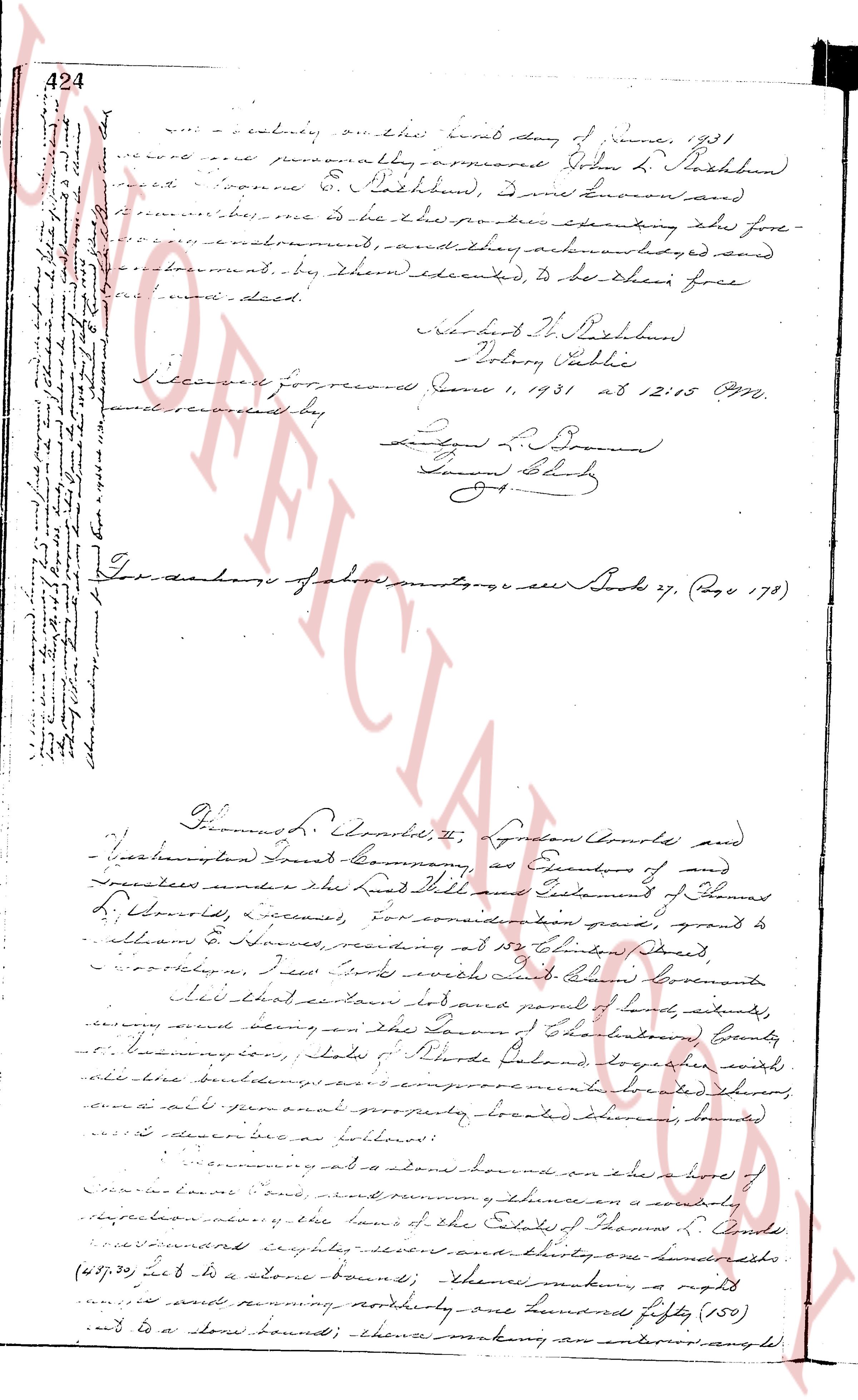
... actually the first day of June, 1931
record and personally appearing Dobin L. Rathbun
and Yvonne E. Rathbun, who being known and
examined, said that the parties executing the fore-
going instrument, and they acknowledged and sealed
the instrument, by them executed, to be their free
and acted deed.
Yvonne E. Rathbun
Notary Public
Received for record June 1, 1931 at 12:05 PM.
and recorded by
[Signature]
Town Clerk
[Signature]
----
For description of above mentioned see Book 27, Page 178
Thomas L. Arnold, Jr., Lyndon Arnold and
Washington County Trust Company, as Executors of and
Trustees under the Last Will and Testament of Thomas
L. Arnold, deceased, for consideration paid, grant to
William H. Howes, residing at 112 Chamber Street,
Woonsocket, R.I. with full right of warranty
that certain lot and parcel of land, situate,
lying and being in the Town of Charlestown, County
of Washington, State of Rhode Island, together with
all the buildings and improvements located thereon,
and all other real property, located therein, being
as described as follows:
beginning at a stone bound on the east line of a lot of
[?] [?] land, and running [?] [?] a southeasterly
direction [?] the land of the Estate of Thomas L. Arnold
one hundred eighty-seven and one-hundredths feet
(187.01) to a stone bound; thence running a right
and running northerly one hundred fifty (150)
feet to a stone bound; there making an interior angle,
The page as recorded