The instrument's own words
page 1
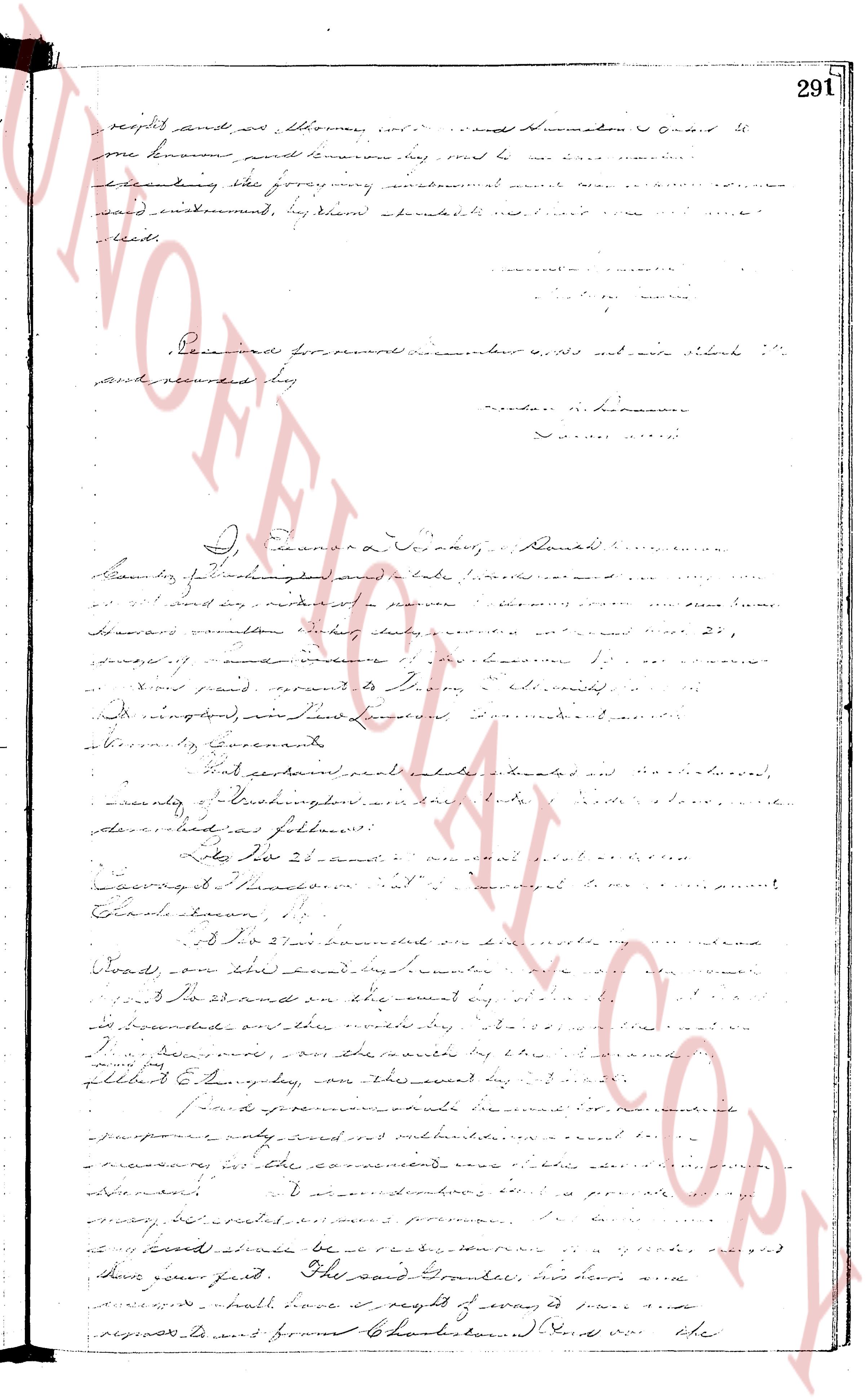
receipts and as attorneys, etc. and Remuneration order it
one known paid Tenman his road to be
according the foregoing instrument and more
and instrument, by them immediately made and
done.
Recorded for record on October 4, 1835 and with said "
and recorded by
[Signature] Nathan N. Tenman
I, Ezra S. Tillinghast, District
clerk of Providence and state’s office, I
and as acting in place of
[Signature] [Illegible]
whereas certain indentures dated the 27,
June, 1797
between paid servants to [Illegible]
and signed, in their Presence,
Attorney, etc. executed
had certain real estate situated and
county of Washington, state of Rhode
described as follows:
viz That 21 acres
[Signature] [Illegible]
Whereas I Thankgood et al.
Charles Tenman,
that 21 acres bounded on the north by
Roads, on the east boundary by
To bound on the west by
bounded on the south by
I, [Illegible], on the north by [Illegible]
philibert E. Sturgis, on this second day
said provenance made in accordance with
purpose only and not voluntarily’s’
measures, in the conveyance and title
of the land, in such manner as is proper
many, etc. executed as a promise
it now should be ready, therefore, assigned
their part first. The said [Illegible], his heirs and
shall have it right of way to
request from Charlestown And the
page 2
292.
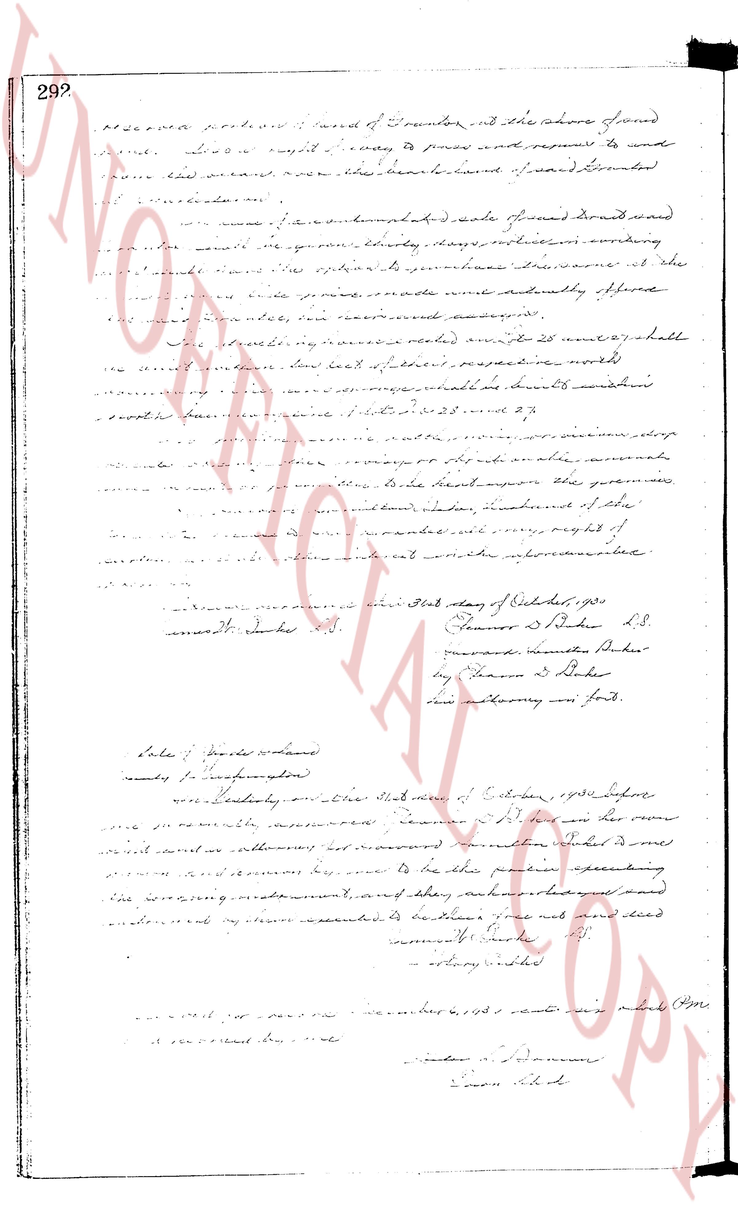
Proceeded northward bound of Dumonts and the shore of pond
said pond. lived a right away to press and requires to send
the said land now the beach land of said Dumonts
as follows:
namely, a certain unmapped lot of land known as said
said land we gave it twenty days reproduction according
to the said land the spotted it purchase distance at the
said land was processed and actually offered
the said land now incorporated and assigned.
The intervening parties namely on 25 Nov 1877 shall
the said land be low lot of their respective worths
and the said land shall be bound northwards
south the land now in possession of 25 Nov 1877.
The said land shall be the property of the person who
shall occupy or inhabit an able area
of the said land the guarantee of the
said land, other landbound of the
said land, and more over, right of
the said land until such time as the above mentioned.
Witness our hands this 31st day of October, 1905
Ernest D. Baker S.S. Thomas D. Baker S.S.
Forward Dumonts Baker
by Thomas D. Baker
and attorney in fact.
State of Rhode Island
County of Providence
on this 31st day of October, 1905 before
me personally appeared Thomas D. Baker who being duly
sworn stated he was authorized by forward Dumonts Baker to
sign and execute by him to be the party executing
the foregoing instrument, and stating authorized and had
endorsed my stamp expected to be Thomas’ name and seal
Ernest D. Baker S.S.
Notary Public
recorded for record
November 6, 1905 wrote this Page
at record office.
Linda S. Danvers
Clerk of Court
The page as recorded