The instrument's own words
page 1
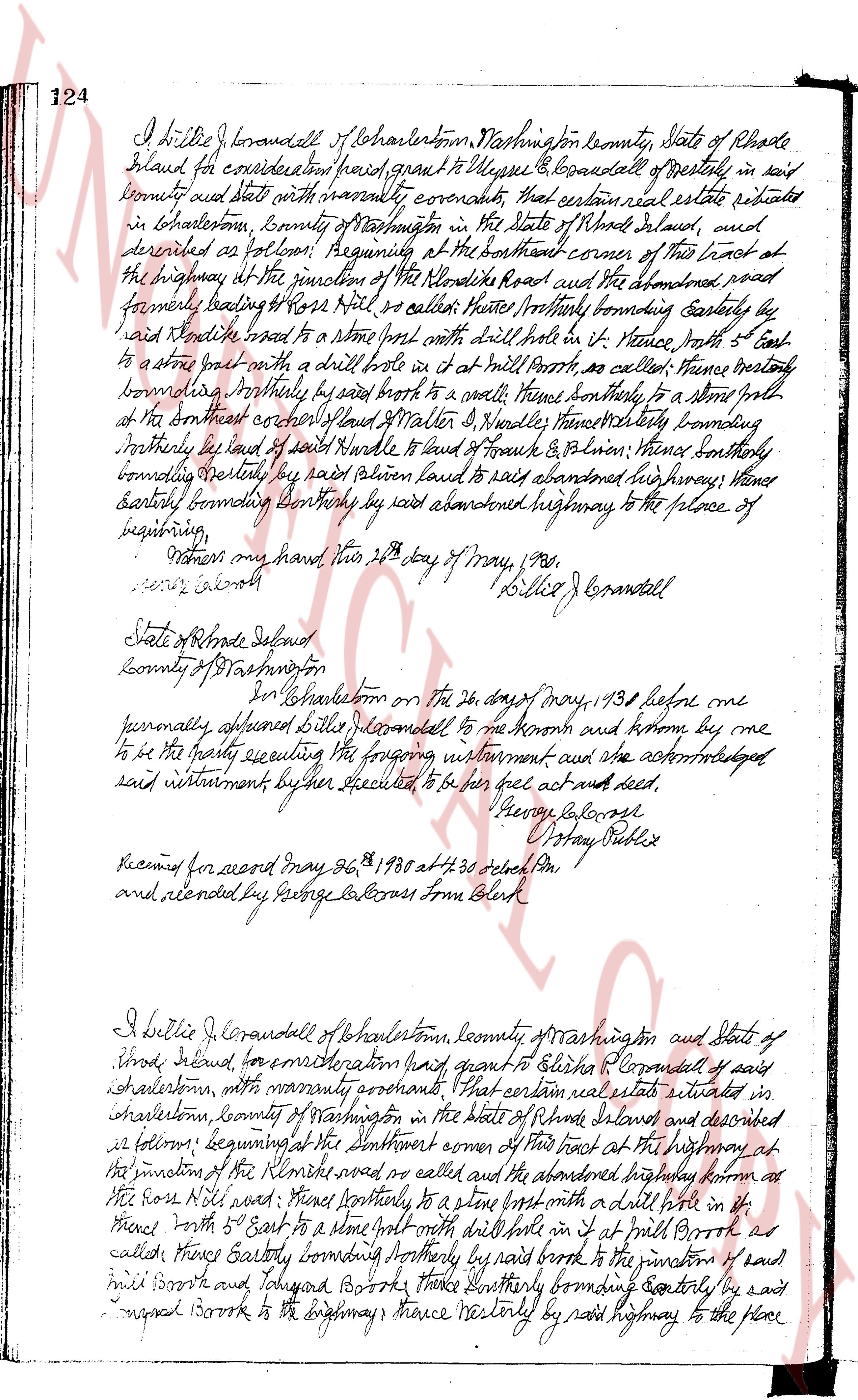
124
I dillie J Corandell of Charlestown, Washington County, State of Rhode
Island for consideration had, grant to Elisha E Corandell of westerly in said
county and state with warranty covenants, that certain real estate situated
in Charlestown, county of Washington in the State of Rhode Island, and
described as follows: beginning at the southeast corner of this lot at
the highway at the junction of the Rhode Island road and the abandoned road
formerly leading to Rose Mill water called there Northly bounding Easterly by
said Rhode Island road to a fence post with drill hole in it Hence south with 5 East
to a stone wall with a drill hole in it at mill Brook as called there; thence easterly
bounding Northly by said brook to a stone wall; thence southerly to a stone wall
at the northwest corner of land of Walter D. Haskell thence Westerly bounding
northerly by land of said Haskell to land of Frank & Baldwin; thence southerly
bounding westerly by said Baldwin land to said abandoned highway; thence
easterly bounding southerly by said abandoned highway to the place of
beginning.
Witness my hand this 24th day of May, 1938.
[Signature] Lillie J Corandell
State of Rhode Island
County of Washington, ss.
In Charlestown on the 24th day of May, 1938 before me
personally appeared Lillie J Corandell to me known and known by me
to be the party executing the foregoing instrument and who acknowledged
said instrument by her executed to be her act and deed.
[Signature] Henry Lake Ross
[Signature] U Stay Nobles
Received for record May 26, 1938 at 2 30 o'clock PM
and recorded by George L Cross From Clerk
I Lillie J Corandell of Charlestown, county of Washington and State of
Rhode Island, for consideration had, grant to Elisha E Corandell of said
Charlestown, with warranty covenants, that certain real estate situated in
Charlestown, county of Washington in the State of Rhode Island and described
as follows: beginning at the southeast corner of this lot at the highway at
the junction of the Rhode Island road as called there and the abandoned highway known as
the Rose Mill road; thence Northerly to a stone wall with drill hole in it;
thence South with 5 East to a stone wall with drill hole in it at mill Brook as
called there; Easterly bounding Northerly by said brook to the junction of said
mill Brook and Tohigon Brook; thence Northerly bounding Easterly by said
Tohigon Brook to the highway; thence Westerly by said highway to the place
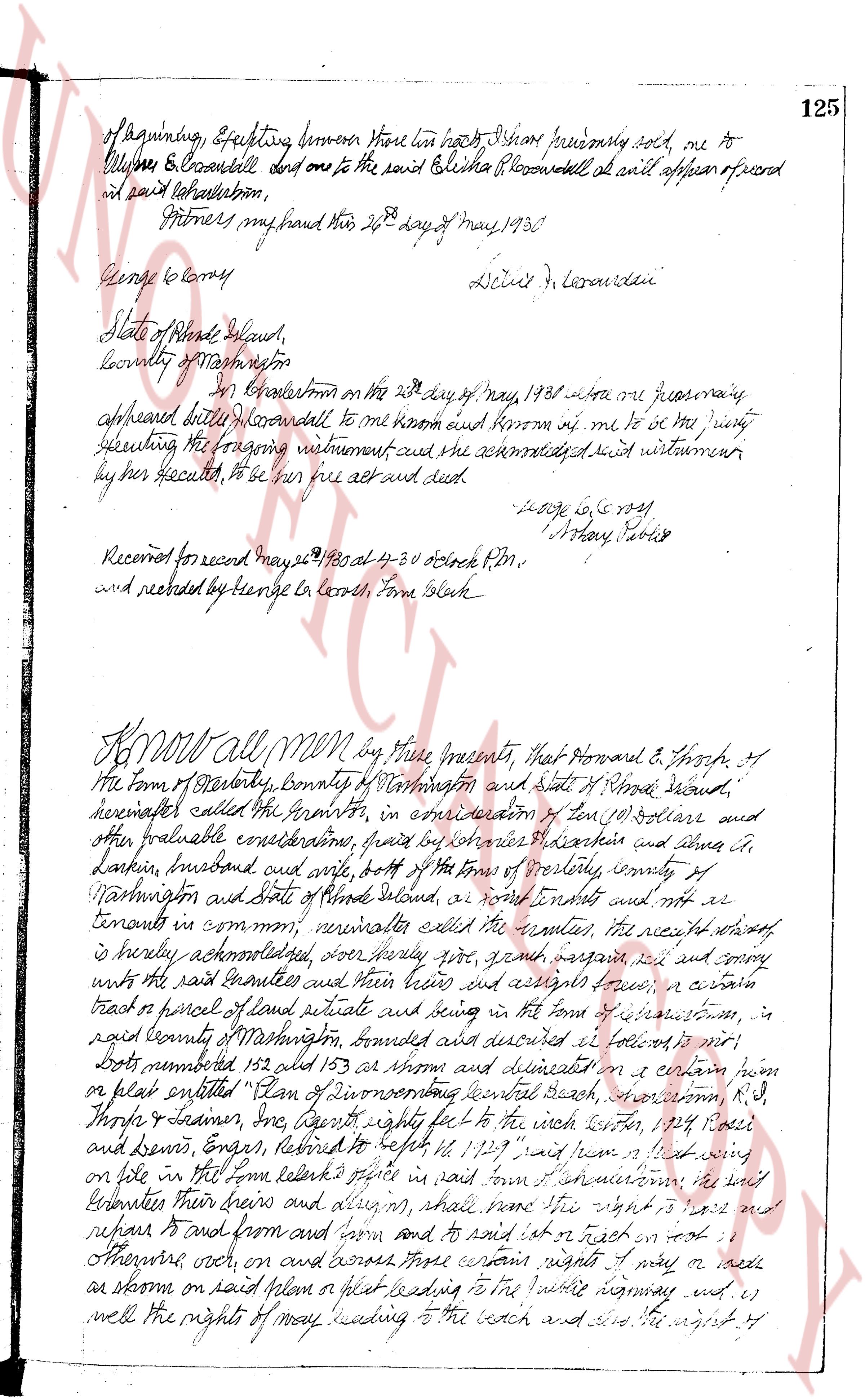
The page as recorded