The instrument's own words
page 1
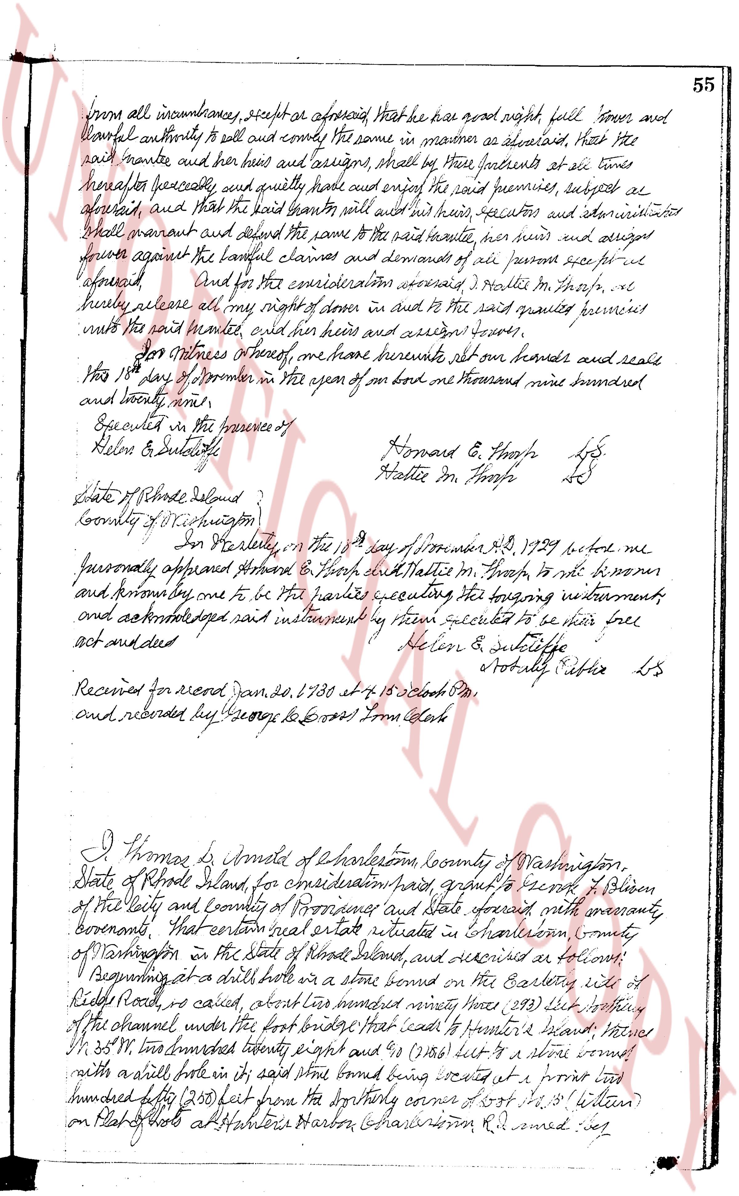
from all incumbrances, respite or aforesaid that he have good right full power and
lawful authority to sell and convey the same in manner as aforesaid, that the
said mantee and her heirs and assigns, shall by these presents at all times
hereafter peaceably, and quietly have and enjoy of the said premises, subject as
aforesaid, and that the said grantor will and his heirs, executors and administrators
shall warrant and defend the same to the said mantee, her heirs and assigns forever
against the lawful claims and demands of all persons except as fore
aforesaid. And for the consideration aforesaid I Hallie M. Thorpe, do
hereby release all my right of share in and to the said granted premises
unto the said mantee, her heirs and assigns forever.
In witness whereof, we have hereunto set our hands and seals
this 18th day of November in the year of our lord one thousand nine hundred
and twenty nine.
Executed in the presence of
Helen E. Sutcliffe
Howard E. Thorpe L.S.
Hallie M. Thorpe L.S.
State of Rhode Island
County of Providence
In Providence, in the 19th day of November A.D. 1929 before me
personally appeared Howard E. Thorpe and Hallie M. Thorpe, to me known
and knownly to be the parties executing the foregoing instrument
and acknowledged said instrument by them executed to be their free
act and deed
Helen E. Sutcliffe
Notary Public L.S.
Received for record Jan. 20, 1930 at 4.15 o'clock PM.
and recorded by George G. Cross First Clerk
I Thomas G. Arnold of Charlestown, County of Washington,
State of Rhode Island, for consideration paid, grant to Sarah G. Olsen
of the city and county of Providence and State aforesaid with warranty
forevermore, That certain real estate situated in Charlestown, County
of Washington in the State of Rhode Island, and described as follows:
Beginning at a drill hole in a stone bound on the Easterly side of
Kidds Road, so called, about three hundred ninety three (393) feet northerly
of the channel under the first bridge that leads to Hunter's Island, then
North 35° W. two hundred twenty eight and six (228 & 6) feet to a stone bound
with a drill hole in said stone bound being located at a previous lot
two hundred fifty (250) feet from the Southerly corner of lot No. 3 (within)
on Plat of lots at Hunter's Harbor Charlestown R.I. named:
page 2
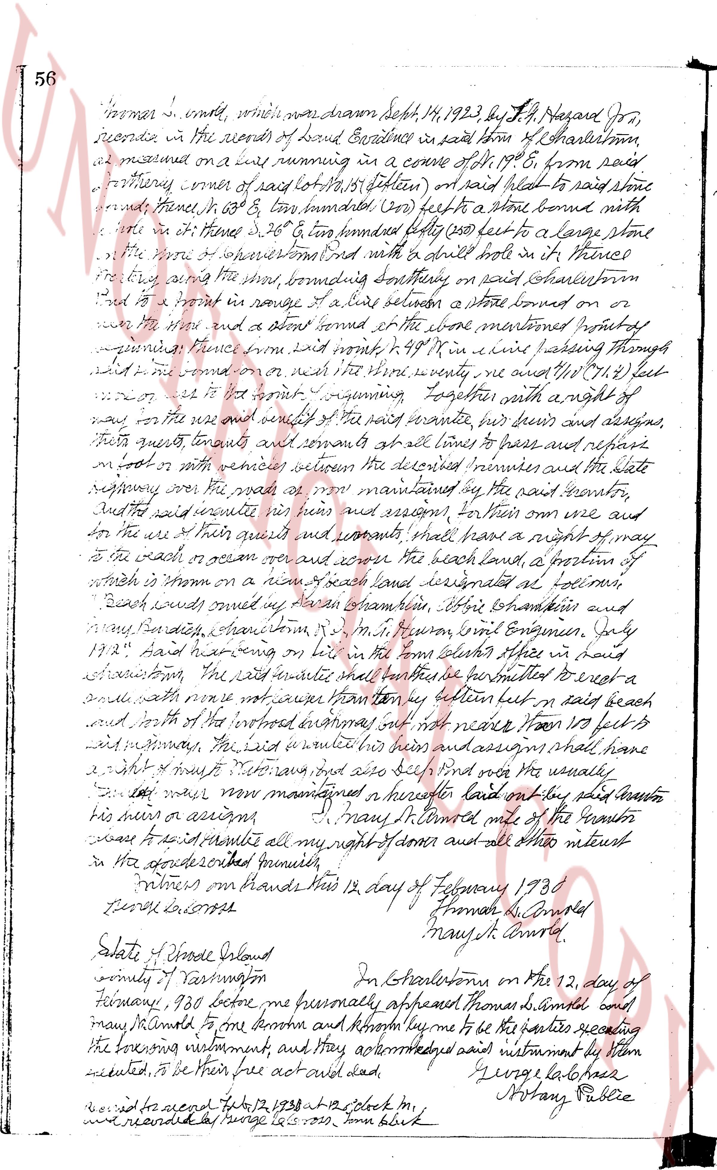
56 norner s. west, which was drawn Sept. 14, 1923 by S. H. Hazard Dr.,
recorded in the records of Land Evidences in said town from H. Charleston,
as measured on a line running in a course of S 19° E, from said
northerly corner of said lot No. 12 (15 Lotten) to said head to said stone
bound fence, Hence S 13° W & 60 ft to sandstone; (200 feet) to a stone bound with
nail in it; hence N 26° E 200 feet bounded south (200 feet) to a large stone
at the north of spruce grove and with a dirt road in it traced
the line running southerly on said Charleston
road to a point in range a line between a stone boundary on
the water side and a stone bound at the stone mentioned previously
hence then run east approxly N 49° W in a line passing through
said limestone on rock which the true survey me ands 118' 7/10 (118.7) feet
to the S. W. corner of the grant, beginning together with a right of
way for the use and benefit of the said granite quarries, their heirs and assigns,
their guests, tenants and servants at all times to pass and repass
on foot or with vehicles over the described premises and the state
highway over the road as now maintained by the past seventy,
and the said granite quarries their heirs and assigns, for their own use and
for the use of their guests and servants shall have a right of way
to the beach or ocean over and across the beach land, a portion of
which is shown on a map of said land designated as "beach",
Beach lands owned by James G. Chandler, Olive Chandler and
Mary S. Chandler, Charlestown, R.I. in S. H. Hazard, Civil Engineer, July
1923" Said Hazard having on file in the town clerks office in said
Charlestown, the said granite quarry shall further be permitted to erect a
small path since no other access is provided by better lot in easy beach
and south of the road highway existing now not wider than 100 feet is
said highway, the said granite their heirs and assigns shall have
a right of way thereon and also dig sand ore the yearly,
now now maintained a herfore last land on the said beach
their heirs or assigns. [Signature] Mary S. Chandler mile of the Grantor
convey to said granite all my right of dower and all other interest
in the described granite sawmill.
Witness our hands this 12 day of February 1930
[Signature] Thomas G. Chandler
[Signature] Mary S. Chandler
State of Rhode Island
County of Washington
On Charlestown on the 12, day of
February, 1930 before me personally appeared Thomas G. Chandler and
Mary S. Chandler to fore known and known by me to be the parties sealing
the foregoing instrument, and they acknowledged said instrument by them
executed, to be their free act and deed.
[Signature] George L. Case
Notary Public
Recorded on page 12, 1930 12 o clock m,
recorded in page 12.15 - 200, town book
The page as recorded