The instrument's own words
page 1 · read by Gemma vision
672
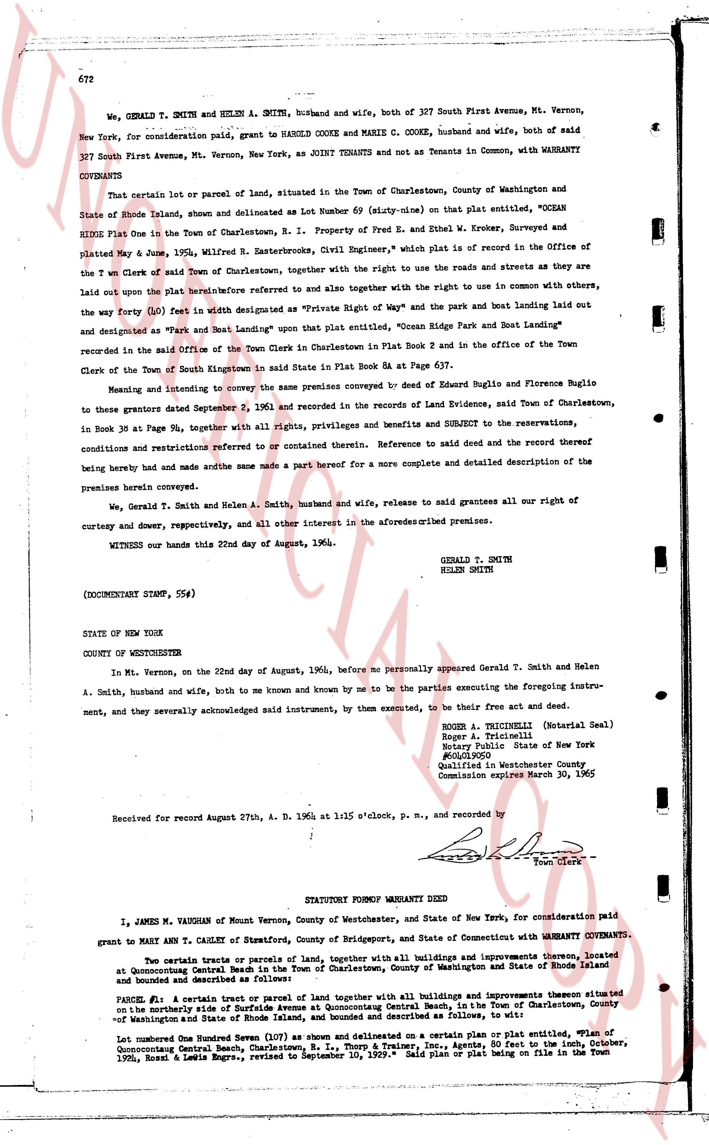
We, GERALD T. SMITH and HELEN A. SMITH, husband and wife, both of 327 South First Avenue, Mt. Vernon, New York, for consideration paid, grant to HAROLD COOKE and MARIE C. COOKE, husband and wife, both of said 327 South First Avenue, Mt. Vernon, New York, as JOINT TENANTS and not as Tenants in Common, with WARRANTY COVENANTS
That certain lot or parcel of land, situated in the Town of Charlestown, County of Washington and State of Rhode Island, shown and delineated as Lot Number 69 (sixty-nine) on that plat entitled, "OCEAN RIDE Plat One in the Town of Charlestown, R. I." Property of Fred E. and Ethel W. Kroker, Surveyed and platted May 9 zone, 1905, Wilfred R. Easterbrooks, Civil Engineer, which plat is on record in the Office of the Town Clerk of said Town of Charlestown, together with the right to use the roads and streets as they are laid out upon the plat heretofore referred to and also together with the right to use in common with others, the way (forty (40) feet in width as designated as "Private Right of Way" and the park and boat landing laid out the way (forty (40) feet in width as designated as "Ocean Ride Park and Boat Landing" and designated as "Park and Boat Landing" upon that plat entitled, recorded in the said Office of the Town Clerk in Charlestown Plat Book 2 and in the office of the Town Clerk of the Town of South Kingstown in said State in Plat Book 6A at Page 637.
Meaning and intending to convey the same premises conveyed by deed of Eugenio Buglio and Florence Buglio to these grantors dated September 2, 1961 and recorded in the records of Land Evidence, said Town of Charlestown, in Book 38 at Page 94, together with all rights, privileges and benefits and subject to the reservations, conditions and restrictions referred to or contained therein. Reference to said deed and the record thereof being hereby made and had and the same made a part hereof for a more complete and detailed description of the premises herein conveyed.
We, Gerald T. Smith and Helen A. Smith, husband and wife, release to said grantees all our right of curtesy and dower, respectively, and all other interest in the aforesaid premises.
WITNESS our hands this 22nd day of August, 1964.
GERALD T. SMITH
HELEN SMITH
(DOCUMENTARY STAMP, 55¢)
STATE OF NEW YORK
COUNTY OF WESTCHESTER
In Mt. Vernon, on the 22nd day of August, 1964, before me personally appeared Gerald T. Smith and Helen A. Smith, husband and wife, both to me known and by me to be the parties executing the foregoing instrument, and they severally acknowledged said instrument, by them executed, to be their free act and deed.
ROGER A. TRICINELLI (Notarial Seal)
Roger A. Tricinelli
Notary Public State of New York
#60119050
Qualified in Westchester County
Commission expires March 30, 1965
Received for record August 27th, A. D. 1964 at 1:15 o'clock, p. m., and recorded by [Signature]
Town Clerk
----
STATUTORY FORM WARRANTY DEED
I, JAMES M. VAUGHAN of Mount Vernon, County of Westchester, and State of New York, for consideration paid grant to MARY ANN T. CAHLEY of Stratford, County of Bridgeport, and State of Connecticut with WARRANTY COVENANTS.
Two certain tracts or parcels of land, together with all buildings and improvements thereon located at Quonochontaug Central Beach, Town of Charlestown, County of Washington and State of Rhode Island and bounded and described as follows:
PARCEL #1: A certain tract or parcel of land together with all buildings and improvements thereon situated on the northerly side of Surfside Avenue at Quonochontaug Central Beach, in the Town of Charlestown, County of Washington and State of Rhode Island, bounded and described as follows:
Lot numbered One Hundred Ninety-Seven (197) as shown and delineated on a certain plan or plat entitled, "Plan of Quonochontaug Central Beach, Charlestown, R. I., Thorp & Trainer, Inc., Agents, filed to the 10th, October, 1956, Ross & Lewis Engrs., revised to September 10, 1979." Said plan or plat being on file in the Town
The page as recorded