The instrument's own words
page 1 · read by Gemma vision
655
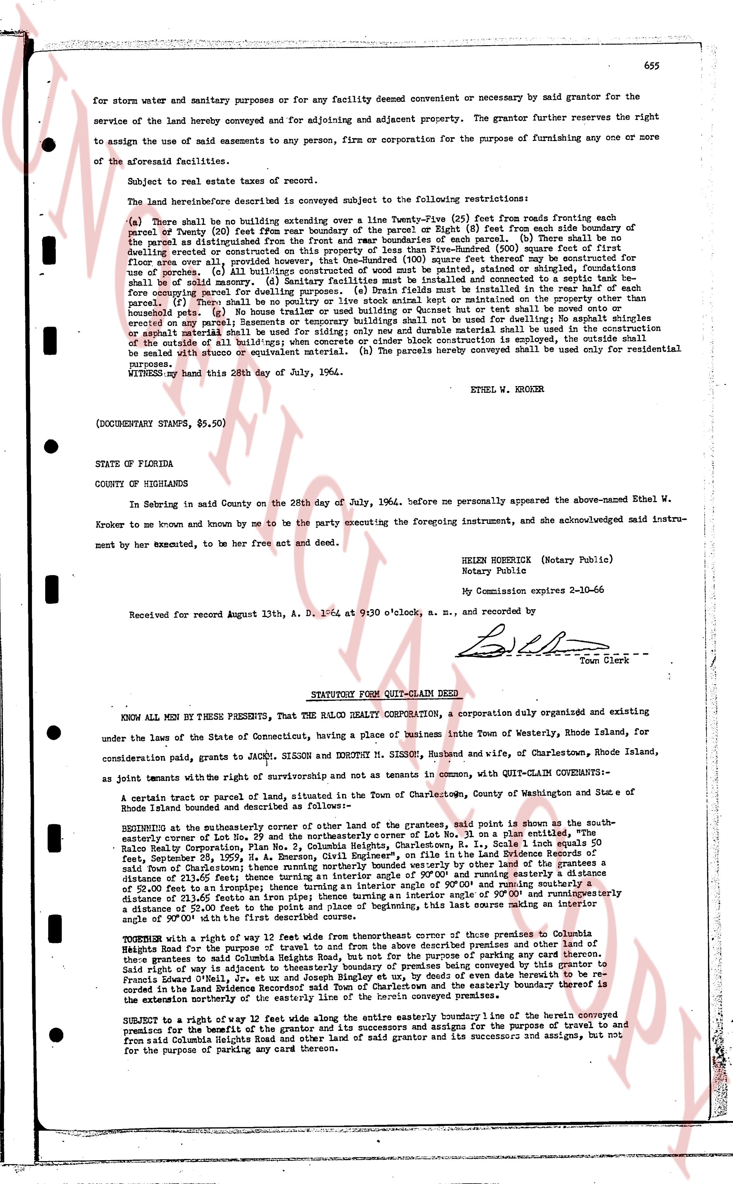
for storm water and sanitary purposes or for any facility deemed convenient or necessary by said grantor for the service of the land hereby conveyed and for adjoining and adjacent property. The grantor further reserves the right to assign the use of said easements to any person, firm or corporation for the purpose of furnishing any one or more of the aforesaid facility services.
Subject to real estate taxes of record.
The land hereinafter described is conveyed subject to the following restrictions:
(a) There shall be no building extending over a line Twenty-Five (25) feet from roads fronting each side of parcel (20) feet from rear boundary of the parcel or Eight (8) feet from each side boundary of said parcel as distinguished from other parcels, except for porches or steps for use of porches. (b) There shall be no dwelling erected or constructed on this property of less than Five-Hundred (500) square feet of first floor space over all, providing that no building shall exceed 35 feet thereof in height except for use of porches. (c) All built/age structures of wood must be painted, stained or shingled, foundations shall be of stone, concrete or block. (d) All dwellings shall be sewered and connected to the town sewer line before occupying parcel for dwelling purposes. (e) Drain fields must be installed in the rear half of each parcel (f) No shed, greenhouse, etc. shall be erected or constructed in the front yard or on any unbuildable pets. (g) No house trailer used as dwelling or Bushed can or tent shall be moved onto or erected on any parcel. (h) Eavesments or temporary buildings such as tents used for dwellings or shingles erected on any parcel shall be removed from the premises and durable material shall be used in the construction or substitute material such as asphalt shingle or concrete and durable material shall be used in the construction of the outside of all build/age; when concrete or cedar shingle is employed, the outside shall be sealed with stucco or equivalent material. (h) The parcels hereby conveyed shall be used only for residential purposes.
WITNESS my hand this 28th day of July, 1964.
ETHEL W. KROKER
(DOCUMENTARY STAMPS, $5.50)
STATE OF FLORIDA
COUNTY OF HIGHLANDS
In Sebring in said County on the 28th day of July, 1964, before me personally appeared the above-named Ethel W. Kroker to me known and by me to be the party executing the foregoing instrument, and she acknowledged said instrument by her act and deed, to be her free act and deed.
HELEN HOEKSHER (Notary Public)
Notary Public
My Commission expires 2-10-66
Received for record August 13th, A. D. 1964 at 9:30 o'clock, a. m., and recorded by
[Signature]
Town Clerk
----
STATUTORY FORM QUIT-CLAIM DEED
KNOW ALL MEN BY THESE PRESENTS, That the RALCO REALTY CORPORATION, a corporation duly organized and existing under the laws of the State of Connecticut, having a place of business in the Town of Westerly, Rhode Island, for consideration paid, grants to JACK M. SISSON and DOROTHY M. SISSON, Husband and wife, of Charlestown, Rhode Island, as joint tenants with the right of survivorship and not as tenants in common, with QUIT-CLAIM COVENANTS-
A certain tract or parcel of land, situated in the Town of Charlestown, County of Washington and State of Rhode Island bounded and described as follows:
BEGINNING at the southerly corner of other land of the grantor, said point is shown as the southerly east-erly corner of Lot No. 29 and the northwesterly corner of Lot No. 30 on a plan entered in the Land Evidence Records of the Town of Charlestown, in book 355, page 51, dated December 28, 1959, H. A. Benson, Civil Engineer, (Plat No. 1, Scale 1 inch equals 50 feet) belonging to Ralco Realty Corporation; thence running southwesterly by said line of Lot No. 30 a distance of 50 feet; thence running easterly along the southerly boundary of said Lot No. 30 a distance of 50 feet; thence running northerly a distance of 50 feet to the northerly corner of said Lot No. 30; thence running easterly a distance of 50 feet to the entrance; turning an interior angle of 45 degrees and running northeasterly a distance of 52.00 feet to the entrance; turning an interior angle of 90.00 degrees and running easterly a distance of 52.00 feet to the entrance; turning an interior angle of 45 degrees and running easterly a distance of 50 feet to the point of beginning, this last course making an interior angle of 90.00 degrees with the first course.
TOGETHER with a right of way 12 feet wide from the thereafter course of three parcels of Columbia Heights Road for the purpose of travel to and from the above described premises and other land of the grantee and his successors and assigns, and for the purpose of erecting and maintaining utilities. Said right of way is adjacent to westerly boundary of premises being conveyed by this grantor to Francis A. Lanza and wife, as described in a deed dated June 14, 1962 and recorded in the Land Evidence Records of the Town of Charlestown and the easterly boundary thereof is the exterior westerly northerly the easterly line of the herein conveyed premises.
SUBJECT to a right of way 12 feet wide along the entire easterly boundary line of the herein conveyed premises for the purpose of travel to and from the land of the grantee for the purpose of travel to and from said Columbia Heights Road and other land of said grantor and its successors and assigns, but not for the purpose of parking any cars thereon.
page 2 · read by Gemma vision
656
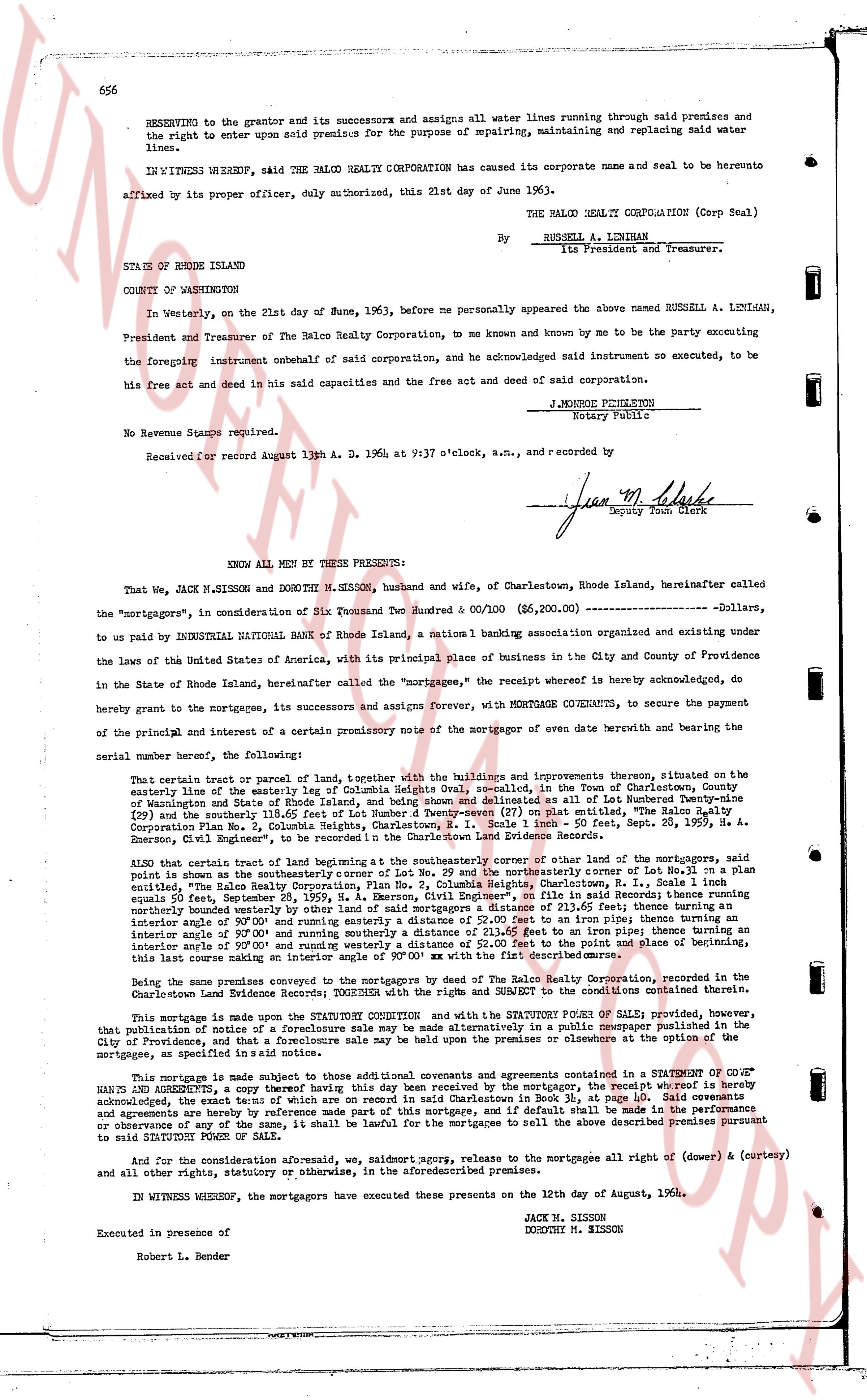
RESERVING to the grantor and its successors and assigns all water lines running through said premises and the right to enter upon said premise for the purpose of repairing, maintaining and replacing said water lines.
IN WITNESS WHEREOF, said THE RALCO REALTY CORPORATION has caused its corporate name and seal to be hereunto affixed by its proper officer, duly authorized, this 21st day of June of 1963).
THE RALCO REALTY CORPORATION (Corp Seal)
By __________________________
RUSSELL A. LINTHIAN
Its President and Treasurer.
STATE OF RHODE ISLAND
COUNTY OF WASHINGTON
In Westerly, on the 21st day of June, 1963, before me personally appeared the above named RUSSELL A. LINTHIAN, President and Treasurer of The Ralco Realty Corporation, to me known and by me to be the party executing the foregoing instrument onbehalf of said corporation, and he acknowledged said instrument so executed, to be his free act and deed and in said capacities and the free act and deed of said corporation.
J. MONROE PHILLIPS
Notary Public
No Revenue Stamps required.
Received for record August 13th A. D. 1964 at 9:37 o'clock, a.m., and recorded by _________________
[Signature]
Deputy Town Clerk
----
KNOW ALL MEN BY THESE PRESENTS:
That We, JACK M. SISSON and DOROTHY M. SISSON, husband and wife, of Charlestown, Rhode Island, hereinafter called the "mortgagors", in consideration of Six Thousand Two Hundred & 00/100 ($6,200.00) ____________________ Dollars, to us paid by INDUSTRIAL TRUSTCOMPANY Bank of Rhode Island, a national banking association organized and existing under the laws of the United States of America, with its principal place of business in the City and County of Providence in the State of Rhode Island, hereinafter called the "mortgagee", the receipt whereof is hereby acknowledged, do hereby grant to the mortgagee, its successors and assigns forever, WITH MORTGAGE COVENANTS, to secure the payment of the principal, and of a certain interest and a promissory note of the mortgagee on a certain date without bearing and the bearing the same serial number, the following:
That certain parcel or tract of land, together with the buildings and improvements thereon situated, on the easterly line of the easterly leg of Columbia Heights oval, described in the Town of Charlestown, County of Washington and State of Rhode Island as follows: Beginning at a point on the easterly line of Lot Number One (1) of Columbia Heights (Plat 109) and thence easterly 118.65 feet of Lot Number Twenty-seven (27) on plat entitled, "The Ralco Realty Corporation Plat No. 2, Columbia Heights, Charlestown, R.I." as shown in a Map dated Sept. 28, 1959, R. A. Emerson, Civil Engineer's, filed in the Charlestown Land Evidence Records.
ALSO that certain tract of land beginning at the southeasterly corner of either one of the lots mortgaged, said point is known as the southeasternly corner of Lot No. 29 and the northeasterly corner of Lot No. 28 in a plan entitled "The Ralco Realty Corporation Plat No. 2, Columbia Heights, Charlestown, R.I." as shown in a Map dated equal to 50 feet, September 28, 1959, R. A. Emerson, Civil Engineer's, on file in said Records; thence running northeasterly 50.00 feet to an iron pipe; thence running south easterly 50.00 feet to an iron pipe; thence running in an interior angle of 90° 00' and running easterly a distance of 52.00 feet to an iron pipe; thence turning an interior angle of 90° 00' and running southerly a distance of 50.00 feet to an iron pipe; thence turning an interior angle of 90° 00' and running westerly a distance of 52.00 feet to the point and place of beginning, this last course making an interior angle of 90° 00' with the xy [?] of the same.
Being the same premises conveyed to the mortgagors by The Ralco Realty Corporation, recorded in the Charlestown Land Evidence Records; TOGETHER with the right and remedy to the SUNSET to the conditions contained therein.
This mortgage is made upon the STATUTORY CONDITION and with the STATUTORY POWERS OF SALE; provided, however, that publication of notice of a foreclosure sale may be made alternatively in a public newspaper published in the City of Providence, and that a failure to publish in any one newspaper or otherwise in the manner prescribed by statute, or mortgage, as specified in said notice is not void.
This mortgage is made subject to other additional covenants and agreements contained in a SEPARATE NOTE of the mortgagors, a copy of which having this day been received by the mortgagee, the receipt whereof is hereby acknowledged, the terms of which are on record in said Charlestown in Book 39, at page 655. Said covenants and agreements are hereby made a part of this mortgage and the mortgagee shall be entitled to the benefit thereof or observance of any of the same, it shall be lawful for the mortgagee to sell the above described premises pursuant to said STATUTORY POWERS OF SALE.
And for the consideration aforesaid, we, salmot agrps, release to the mortgagee all right of (dower & curtesy) and all other rights, statutory or otherwise, in the aforementioned premises.
IN WITNESS WHEREOF, the mortgagors have executed these presents on the 12th day of August, 1964.
JACK M. SISSON
DOROTHY M. SISSON
Executed in presence of
Robert L. Bender
The page as recorded