The instrument's own words
page 1 · read by Gemma vision
654
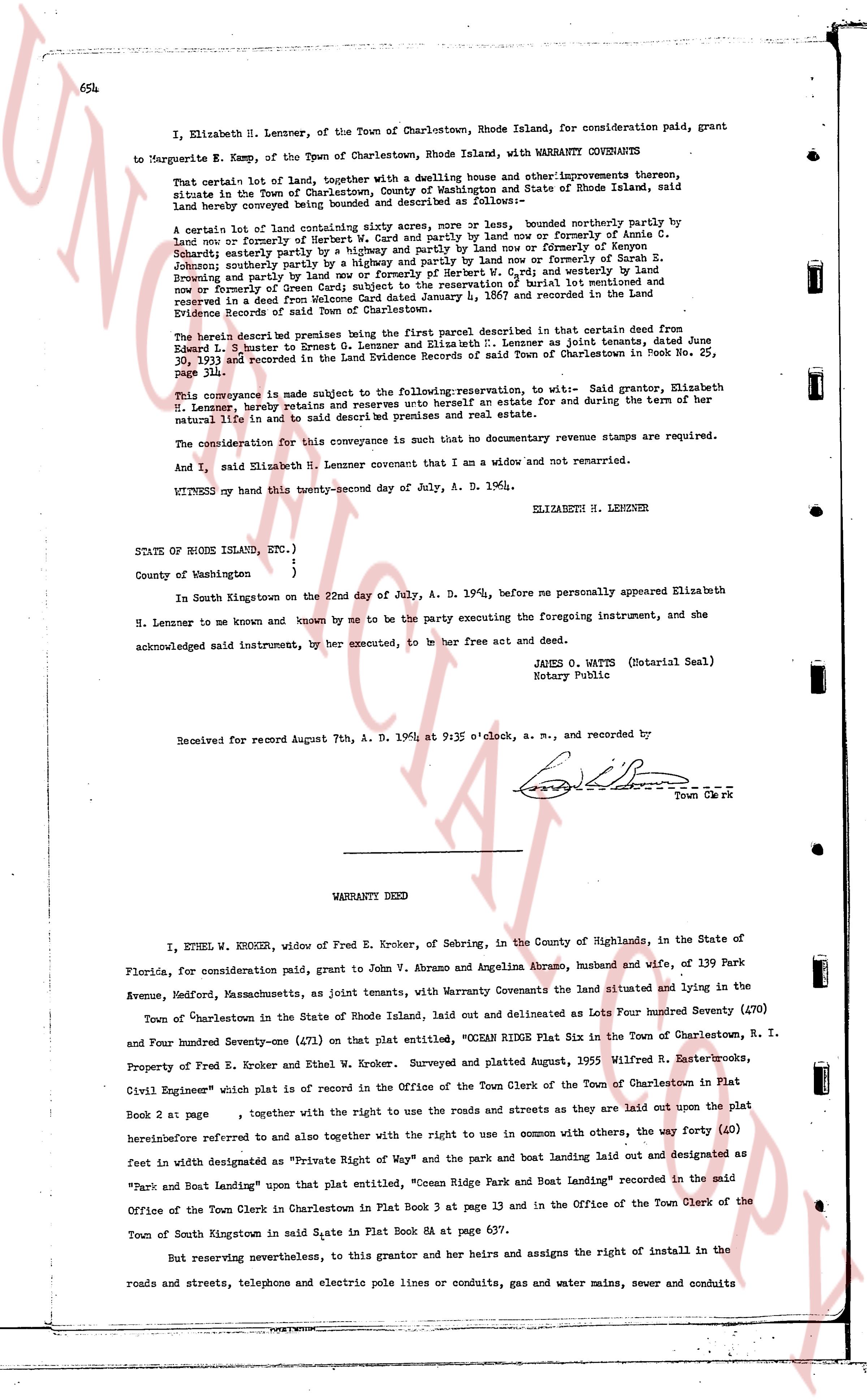
I, Elizabeth H. Lenner, of the Town of Charlestown, Rhode Island, for consideration paid, grant
to Marguerite E. Kemp, of the Town of Charlestown, Rhode Island, with WARRANTY COVENANTS
That certain one lot of land, together with a dwelling house and other improvements thereon, situate
in the Town of Charlestown, County of Washington and State of Rhode Island, said
land hereby conveyed being described and delineated as follows:—
A certain lot of land containing sixty acres more or less, bounded northerly by partly by
now or formerly of Harriet E. Smith and partly by land now or formerly of Annie G.
Scaife; easterly partly by way and highway and partly by land now or formerly of Joseph S.
Johnson; southerly partly by land now or formerly of Harriet E. Smith and partly by Sarah S.
Browning and partly by land now or formerly of Herbert W. G. [?] and westerly by land
now or formerly of Samuel H. Lenner. The above description of parcel is presumed and
reserved in a deed from Welcome Card dated January 4, 1867 and recorded in the Land
Evidence Records of said Town of Charlestown.
The herein described premises are a part of the first parcel described in that certain deed from
Elmer L. Lenner to Ernest G. Lenner and Elizabeth H. Lenner as joint tenants, dated June
30, 1931 and recorded in the Land Evidence Records of said Town of Charlestown in Book No. 25,
Page 118.
This conveyance is made subject to the following reservation, to wit:— Said grantor, Elizabeth
H. Lenner, hereby retains and reserves unto herself an estate for life and during the term of her
natural life in said land as a residence for herself and her guests.
The consideration for this conveyance is such that no documentary revenue stamps are required.
And I, said Elizabeth H. Lenner covenant that I am an widow and not married.
WITNESS my hand this twenty-second day of July, A. D. 1946. ELIZABETH H. LENNER
STATE OF RHODE ISLAND, ETC.)
)
County of Washington )
In South Kingstown on the 22nd day of July, A. D. 1946; before me personally appeared Elizabeth
H. Lenner to me known and known by me to be the party executing the foregoing instrument, and she
acknowledged said instrument, by her executed, to be her free act and deed.
JAMES O. WATTS (Notarial Seal)
Notary Public
Received for record August 7th, A. D. 1946 at 9:35 o'clock, a. m., and recorded by
[Signature] Town Clerk
----
WARRANTY DEED
I, ETHEL W. KROKER, widow of Fred E. Kroker, of Sebring, in the County of Highlands, in the State of
Florida, for consideration paid grant, to John V. Abramo and Angelina Abramo, husband and wife, of 139 Park
Avenue, Medford, Massachusetts, as joint tenants, with Warranty Covenants the land situated and lying in the
Town of Charlestown in the State of Rhode Island, laid out and delineated as Lots Four hundred Seventy (470)
and Four hundred Seventy-one (471) on that Plat entitled, "KROKER RIDGE Plat Six in the Town of Charlestown, R. I.
Property of Fred E. Kroker and Ethel W. Kroker. Surveyed and plated August, 1955 Wilfred R. Easterbrooks,
Civil Engineer" which plat is on record in the Office of the Town Clerk of the Town of Charlestown in Plat
Book 2 at page , together with the right to use the roads and the streets as they are laid out upon the plat
hereinafter referred to and also together with the right to use in common with others, the way forty (40)
feet in width designated as "Private Right of Way" and the park and the boat landing laid out and designated as
"Park and Boat Landing" upon that plat entitled, "Ocean Ridge Park and Boat Landing" recorded in the said
Office of the Town Clerk in Charlestown in Plat Book 3 at page 13 and in the Office of the Town Clerk of the
Town of South Kingstown in said State in Plat Book 6A at page 657.
But reserving nevertheless, to this grantor and her heirs and assigns the right of install in the
roads and streets, telephone and electric pole lines or conduits, gas and water mains, sewer and conduits
page 2 · read by Gemma vision
655
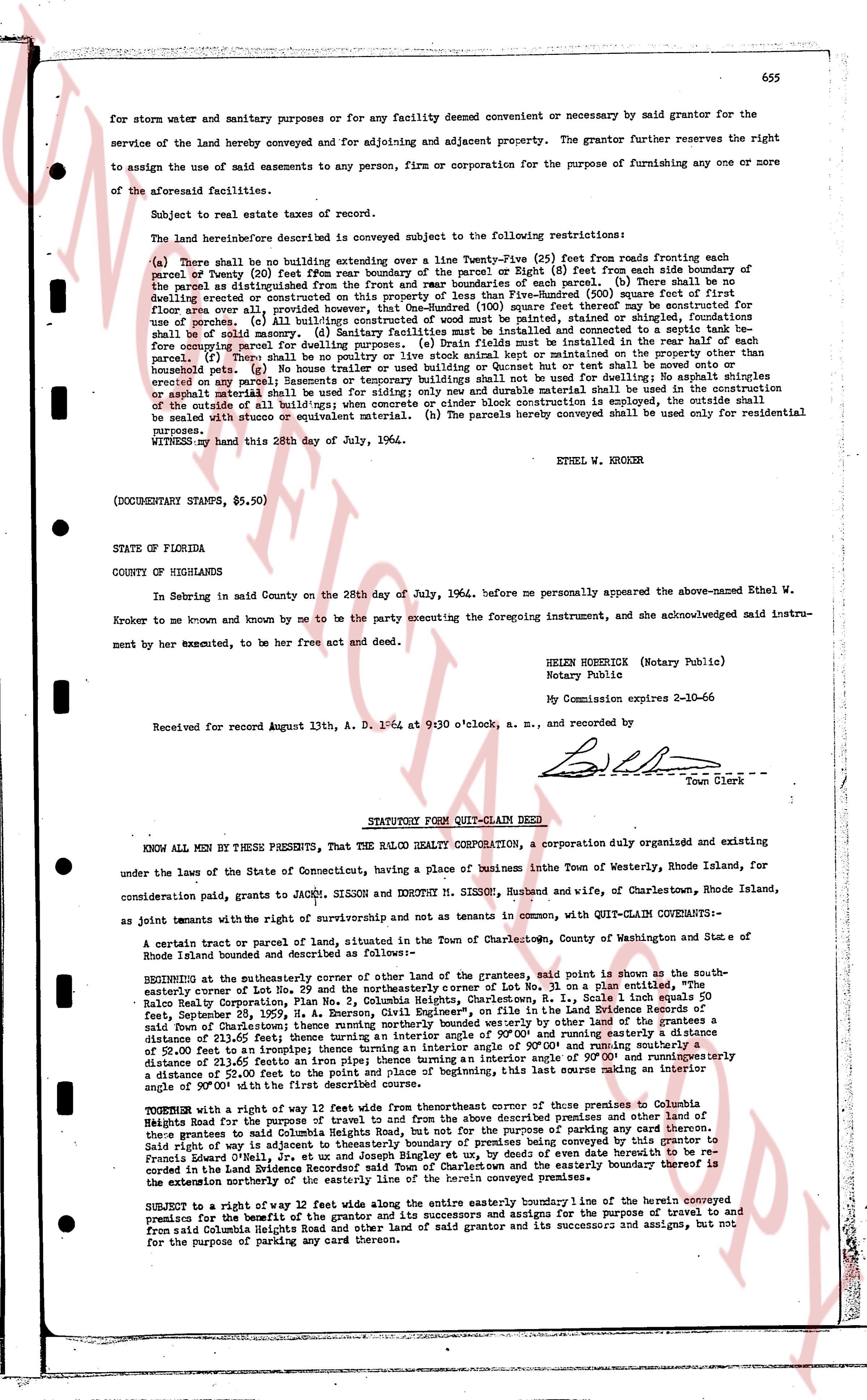
for storm water and sanitary purposes or for any facility deemed convenient or necessary by said grantor for the
service of the land hereby conveyed and enjoying for adjoining and adjacent property. The grantor further reserves the right
to assign the use of said easements to any person, firm or corporation for the purpose of furnishing any one or more
of the aforesaid facility services.
Subject to real estate taxes of record.
The land hereinafter described is conveyed subject to the following restrictions:
(a) There shall be no building extending over a line Twenty-Five (25) feet from roads fronting each
parcel of county (20) feet from rear boundary of the parcel or Eight (8) feet from each side boundary of
such parcel as distinguished from the road fronting each parcel. (b) There shall be no
dwelling erected or constructed on this property of less than Five-Hundred (500) square feet of first
floor space over all, provided that any porch or sun room shall not be counted as square feet for the purpose
of use. (c) All built/age structures of wood must be painted, stained or shingled, fashioned and
finished so as to avoid an unsightly appearance. (d) Septic tanks and connected leaching fields shall be
fore computing parcel for dwelling purposes. (e) Drain fields must be installed in the rear half of each
parcel. (f) No garage, shed, greenhouse, or other outbuilding shall be erected or constructed on any
homestead plot. (g) No house trailer used or building used as Guest house or art bell shall be moved onto or
erected on any parcel. (h) Basements or temporary buildings such as tents or cabins for dwellings or shingles
erected on any parcel; only concrete, brick, stone, cinder block and durable material shall be used in the construction
of the outside of all build/ngs; when concrete or cinder block is employed, the outside shall be
stuccoed with stucco or equivalent material. (h) The parcels hereby conveyed shall be used only for residential
purposes.
WITNESS my hand this 28th day of July, 1964.
ETHEL W. KROKER
(DOCUMENTARY STAMPS, $5.50)
STATE OF FLORIDA
COUNTY OF HIGHLANDS
In Sebring in said County on the 28th day of July, 1964, before me personally appeared the above-named Ethel W.
Kroker to me known and by me to be the party executing the foregoing instrument, and she acknowledged said instru-
ment by her act, executed, to be her free act and deed.
HELEN HOEKSHER (Notary Public)
Notary Public
My Commission expires 2-10-66
Received for record August 13th, A. D. 1964 at 9:30 o'clock, a. m., and recorded by
[Signature]
Town Clerk
----
STATUTORY FORM QUIT-CLAIM DEED
KNOW ALL MEN BY THESE PRESENTS, That THE BALCO REALTY CORPORATION, a corporation duly organized and existing
under the laws of the State of Connecticut, having a place of business in the Town of Westerly, Rhode Island, for
consideration paid, grants to JACKY SIMSON and DOROTHY M. SIMSON, Husband and wife, of Charlestown, Rhode Island,
as joint tenants with the right of survivorship and not as tenants in common, with QUIT-CLAIM COVENANTS-
A certain tract or parcel of land, situated in the Town of Charlestown, County of Washington and State of
Rhode Island and bounded and described as follows:
BEGINNING at the southeasterly corner of other land of the grantor, said point is shown as the south-
easterly corner of Lot No. 29 and the northeasterly corner of Lot No. 30 on a plan certified by the
Balco Realty Corporation, RI. Thence running south 81 deg. 15 min. East, 115 feet, as shown on said plan,
December 28, 1959, N. A. Benson, Civil Engineer, Plymouth, RI on file in the Land Evidence Records of
said Town of Charlestown; thence turning an interior angle supplementary to that laid down by the last line
distance of 52 feet to an unknown point; thence turning an interior angle of 90 deg 00' and running easterly a
distance of 52 feet to an unknown point; thence turning an interior angle supplementary to that laid down by the last
line distance of 52 feet to an unknown point; thence turning an interior angle of 90 deg 00' and running westerly a
distance of 52 feet to the point and place of beginning, this last course making an interior
angle of 90 deg 00' with the first course.
TOGETHER with a right way of 12 feet wide from the northeasterly corner of those premises of Columbia
Heights Road for the purpose of travel to and from the above described premises and other land of the
grantor to the north, provided that said right way shall be used for the purpose of visiting any owners or occupants
said right way is adjacent to westerly boundary of premises being conveyed by this grantor to
Frankie L. Lanza; said right way is shown on the plan certified by N. A. Benson, Civil Engineer, dated December 28,
1959 in the Land Evidence Recordbook said Town of Charlestown and the easterly boundary thereof is
the exterior westerly northerly the easterly line of the herein conveyed premises.
SUBJECT to a right of way 12 feet wide along the entire easterly boundary line of the herein conveyed
premises for the purpose of travel to and from the land of the grantor for the purpose of travel to and
from said Columbia Heights Road and other land of said grantor and its successors and assigns, but not
for the purpose of parking any cars thereon.
The page as recorded