The instrument's own words
page 1 · read by Gemma vision
635
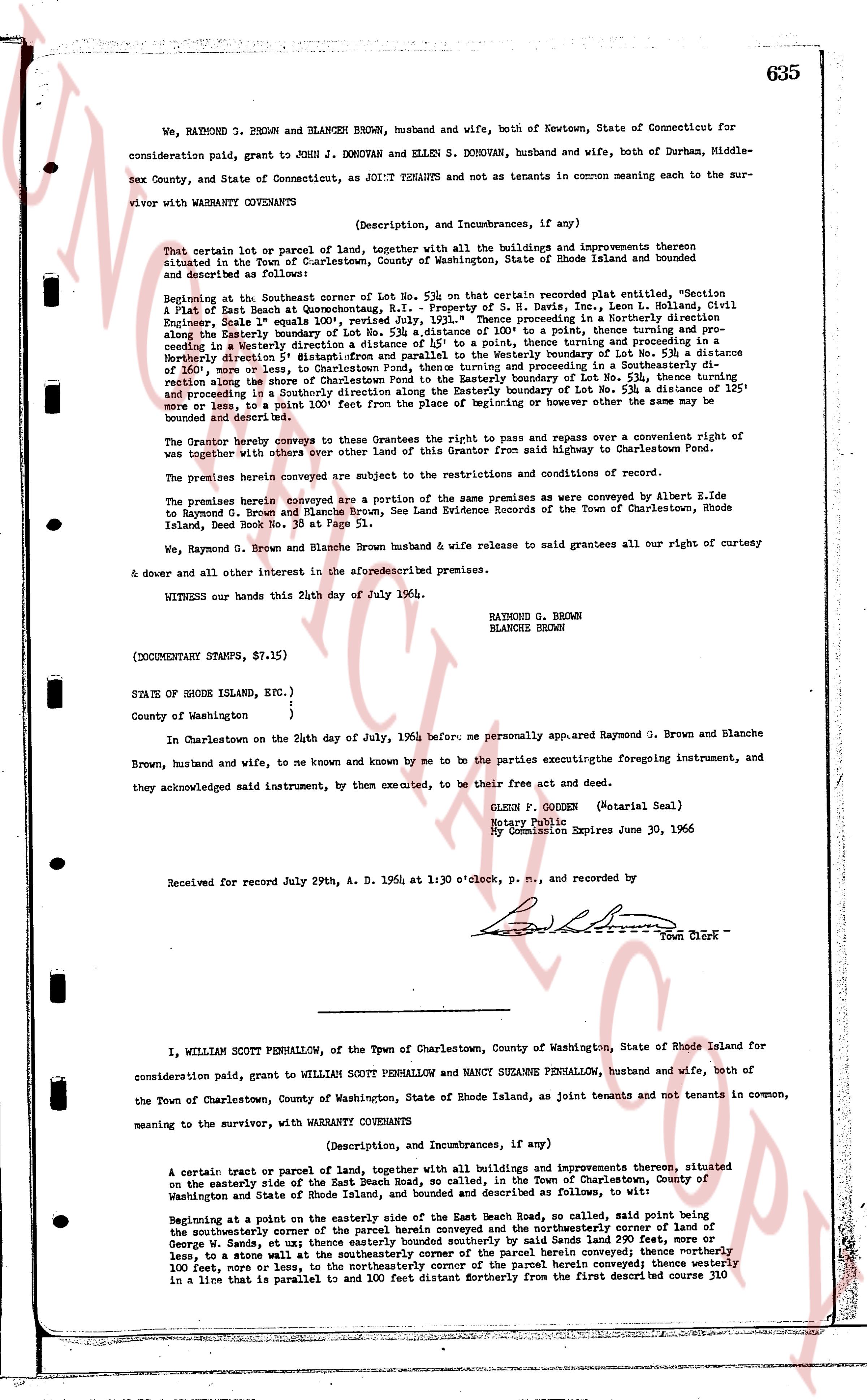
We, RAYMOND T. BROWN and BLANCHE BROWN, husband and wife, both of Newtown, State of Connecticut for
consideration paid, grant to JOHN J. DONOVAN and ELLEN S. DONOVAN, husband and wife, both of Durham, Middle-
sex County, and State of Connecticut, as JOINT TENANTS and not as tenants in common meaning each to the sur-
vivor with WARRANTY CONVEYANTS
(Description, and Incumbrances, if any)
That certain lot or parcel of land, together with all the buildings and improvements thereon
situated in the Town of Charlestown, County of Washington, State of Rhode Island and bounded and described
as follows:
Beginning at the Southeasterly corner of Lot No. 53a on that certain recorded plat entitled, "Section
A of East Beach at Quinesettpoint, R.I." Property of S. H. Davis, Inc., Lenm L. Holland, Civil
Engineer, Scale 1" equals 100', revised July 1929. Thence proceeding in a southeasterly direction
along the Easterly boundary of Lot No. 53a to a point, thence turning and pro-
ceeding in a Westerly direction a distance of 125' to a point, thence turning and proceeding in a
Southerly direction a distance of 160' more or less, to Charlestown Town line, then proceeding in a Southeasterly di-
rection along the shore of Charlestown Point to the Southeasterly corner of Lot No. 53a, thence turning and
proceeding in a northeasterly direction along the Easterly boundary of Lot No. 53a a distance of 125'
more or less, to a point 100' front from the Place of beginning or however other the same may be
bounded and described here.
The Grantor hereby conveys to these Grantees the right to pass and repass over a convenient right of
way together with others over other land of this Grantor from said highway to Charlestown Point.
The premises herein conveyed are subject to the restrictions and conditions of record.
The premises herein conveyed are a subject of the same premises as were conveyed by Albert E. Ide
to Raymond T. Brown and Blanche Brown, See Land Evidence Records of the Town of Charlestown, Rhode
Island, Deed Book No. 35 at Page 51.
We, Raymond G. Brown and Blanche Brown husband & wife release to said grantees all our right of curtesy
& dower and all other interest in the aforesaid premises.
WITNESS our hands this 24th day of July 1964.
RAYMOND G. BROWN
BLANCHE BROWN
(DOCUMENTARY STAMPS, $7.15)
STATE OF RHODE ISLAND, ETC.)
)
County of Washington )
In Charlestown on the 24th day of July, 1964 before me personally appeared Raymond G. Brown and Blanche
Brown, husband and wife, and to me known and to be known by me to be the parties executing the foregoing instrument,
and they acknowledged said instrument, by them executed, to be their free act and deed.
GLENN P. GOODEN (Notarial Seal)
Notary Public
My Commission Expires June 30, 1965
Received for record July 29th, A. D. 1964 at 1:30 o'clock, p. m., and recorded by
[Signature] Town Clerk
----
I, WILLIAM SCOTT PENHALLOW, of the Town of Charlestown, County of Washington, State of Rhode Island for
consideration paid, grant to WILLIAM SCOTT PENHALLOW and NANCY SUZANNE PENHALLOW, husband and wife, both of
the Town of Charlestown, County of Washington, State of Rhode Island, as joint tenants and not tenants in common,
meaning to the survivor, with WARRANTY CONVEYANTS
(Description, and Incumbrances, if any)
A certain tract or parcel of land, together with all buildings and improvements thereon, situated
on the easterly side of the East Beach Road, so called, in the Town of Charlestown, County of
Washington and State of Rhode Island, bounded and described as follows, to wit:
Beginning at a point on the easterly side of the East Beach Road, so called, said point being
the southeasterly corner of the parcel herein conveyed and the northeasterly corner of land of
George W. Sady et al. then thence running by metes and bounds along said Sady land a distance of
less, to a stone wall at the southeasterly corner of the parcel herein conveyed; thence northerly
100 feet, more or less, to the northeasterly corner of the parcel herein conveyed; thence running
in a line that is parallel to and 100 feet distant Northerly from the first described course 110
page 2 · read by Gemma vision
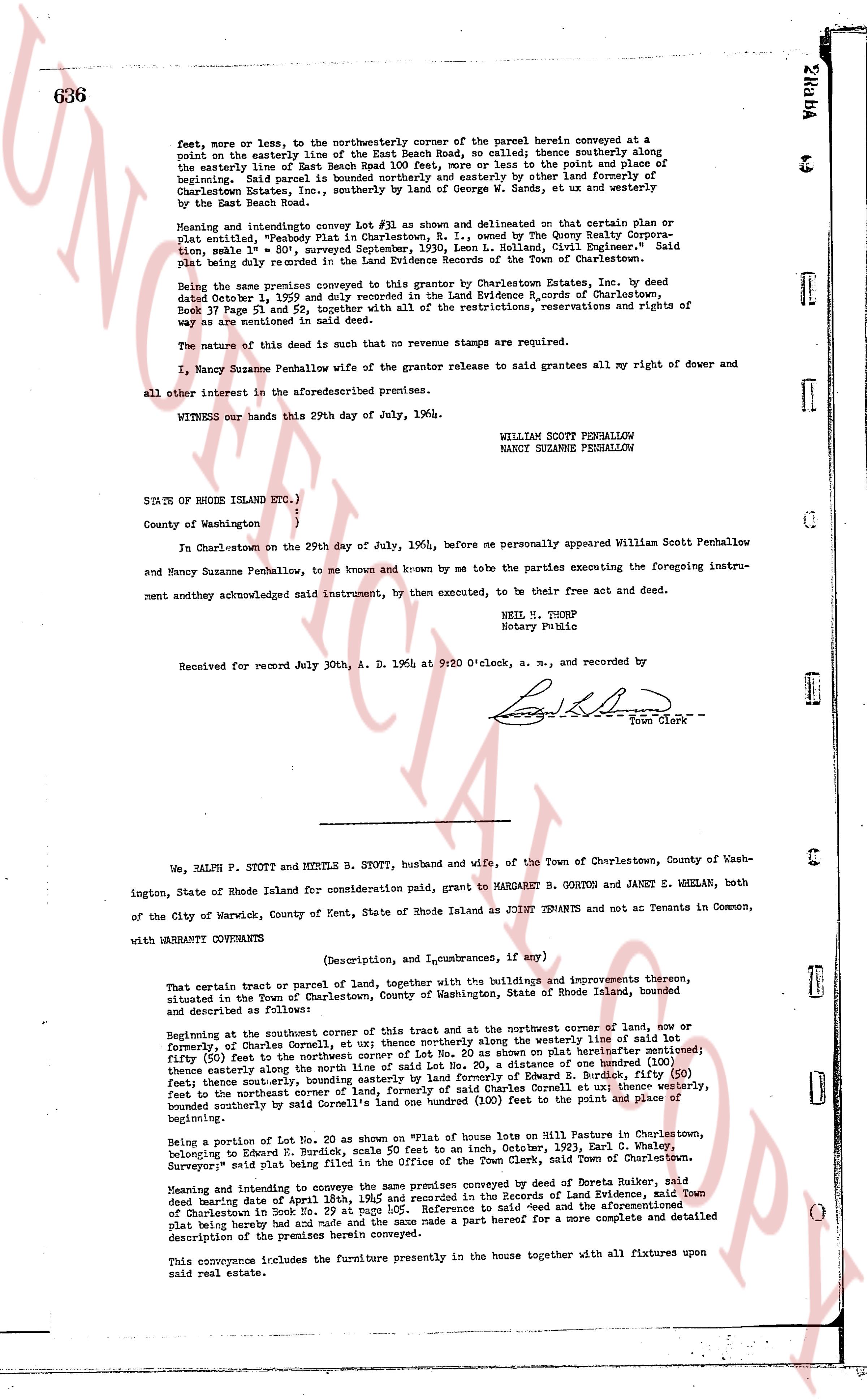
feet, more or less, to the northwesterly corner of the parcel herein conveyed at a point on the easterly line of the East Beach Road, no called; thence southerly along the easterly line of East Beach Road 100 Feet, more or less to the point and place of beginning. Said parcel is bounded on the north and easterly by other lands of Charlestown Estates, Inc., southerly by the lands of George W. Bands, et ux and westerly by the East Beach Road.
Meaning and intention convey Lot #1 as shown and delineated on that certain plat or plat ion, named "Property Plat in Charlestown, R. I." owned by the George Kelly Corporation, same plat # 801, Surveyed September 17th, 1936, by William G. Elder Surveyor." Said plat being duly recorded in the Land Evidence Records of the Town of Charlestown.
Being the same premises conveyed to this grantor by Charlestown Estates, Inc. by deed dated October 1, 1959 and duly recorded in the Land Evidence B. records of Charlestown, book 37 Page 53 and 54, together with all of the restrictions, reservations and rights of way as are mentioned in said deed.
The nature of the deed is such that no revenue stamps are required.
I, Nancy Suzanne Penhallow wife of the grantor release to said grantees all my right of dower and all other interest in the aforementioned premises.
WITNESSED our hands this 29th day of July, 1964.
WILLIAM SCOTT PENHALLOW
NANCY SUZANNE PENHALLOW
STATE OF RHODE ISLAND ETC.)
)
County of Washington )
In Charlestown on the 29th day of July, 1964, before me personally appeared William Scott Penhallow and Nancy Suzanne Penhallow, to me known and known by me to be the parties executing the foregoing instrument and they acknowledged said instrument, by them executed, to be their free act and deed.
NEIL N. THORP
Notary Public
Received for record July 30th, A. D. 1964 at 9:20 O'clock, a. m., and recorded by
[Signature]
Town Clerk
----
We, RALPH P. STOTT and MERILE B. STOTT, husband and wife, of the Town of Charlestown, County of Washington, State of Rhode Island for consideration paid, grant to MARGARET B. GORTON and JANET E. WHELAN, both of the City of Warwick, County of Kent, State of Rhode Island as JOINT TENANTS and not as Tenants in Common,
with WARRANTY CONVEYANCE
(Description, and Liens, encumbrances, if any)
That certain tract or parcel of land, together with the buildings and improvements thereon, situated in the Town of Charlestown, County of Washington, State of Rhode Island, bounded and described as follows:
Beginning at the southeast corner of this tract and at the northwest corner of land, now or formerly, of Connor Cornell, et ux thence northerly along the westerly line of said lot fifty (50) feet to the northwest corner of the line No. 20 as shown on plat of land aforesaid; thence easterly along the northern line of said lot a distance of one hundred (100) feet thence easterly along the northern line of lot No. 21 a distance of one hundred (100) feet thence southerly, bounding easterly by land formerly of Edward E. Burdick, fifty (50) feet to the northeast corner of land, formerly of Connor Cornell, et ux thence westerly, bounding southerly by said land a distance of two hundred (200) feet to the point and place of beginning.
Being a Portion of Lot No. 20 as shown on "plat of house lots on Hill St Charlestown, belonging to Edward E. Burdick, scale 50 feet to an inch, October, 1921, Earl C. Wheeler, Surveyor" said plat being filed in the Office of the Town Clerk, Town of Charlestown.
Meaning and intention to convey the same premises conveyed by deed of Doreta Ruker, said deed bearing a date of April 29th 1941 and recorded in the books of land evidence of the Town of Charlestown in Book No. 29 at page 105. Reference is made dsed and the aforementioned plat being hereby had and made safe and the same made a part hereof for a more complete and detailed description of the premises herein conveyed.
This conveyance includes the furniture presently in the house together with all fixtures upon real said real estate.
The page as recorded