The instrument's own words
page 1 · read by Gemma vision
632
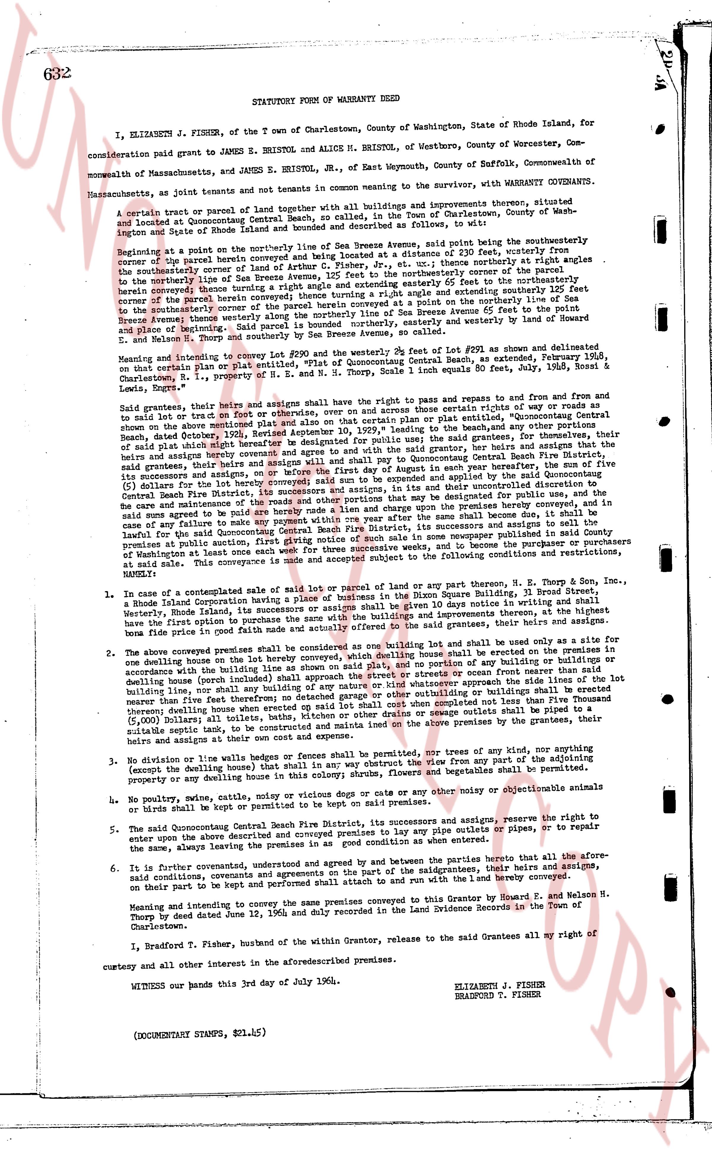
STATUTORY FORM OF WARRANTY DEED
I, ELIZABETH J. FISHER, of the Town of Charlestown, County of Washington, State of Rhode Island, for consideration paid grant to JAMES E. BRISTOL and ALICE M. BRISTOL, of Westboro, County of Worcester, Commonwealth of Massachusetts, and JAMES E. BRISTOL, Jr., of East Weymouth, County of Suffolk, Commonwealth of Massachusetts, as joint tenants and not tenants in common meaning in the survivor, with WARRANTY COVENANTS.
A certain tract or parcel of land together with all buildings and improvements thereon, situated and located at Quonsetpoint, County of Washington, State of Rhode Island, Town of Charlestown, County of Washington located at Rhode Island and described as follows, to wit:
Beginning at a point on the northerly line of Sea Breeze Avenue, said point being on the southeasterly corner of the parcel herein conveyed which parcel begins at a distance of 211 feet, westerly from the southeasterly corner of the parcel conveyed to Arthur C. Fisher, Jr., et ux.: thence northerly at right angles from the southeasterly corner of the parcel herein conveyed to the southeasterly corner of the parcel adjacent to the northerly line of Sea Breeze Avenue, thence northerly 111.12 feet and extending easterly 66 feet to the southeasterly corner of the parcel herein conveyed thence turning east 131.12 feet and extending southerly 66 feet to the southeasterly corner of the parcel herein conveyed thence turning south 111.12 feet and extending easterly 66 feet to the southeasterly corner of the parcel herein conveyed thence turning easterly at a point on the northerly line of Sea Breeze Avenue, thence westerly along the northerly line of Sea Breeze Avenue 200 feet to the southeasterly corner of the parcel herein conveyed, thence turning southerly and easterly to the westerly end of harbor road and Sounding cove and southerly by Sea Breeze Avenue, to the southeasterly corner of the parcel conveyed to E. N. and Helson N. Thorpe and southerly by Sea Breeze Avenue, to the beginning.
Meaning and intending to convey in complete Lot #290 and the westerly 2k feet of Lot #291, as shown and delineated of that certain plat made by the Rhode Island Engineering Association, Beach, Rhode Island, February 25, 1936, on that certain plat recorded in the land evidence records of E. N. and Helson N. Thorpe, 1 inch equals 80 feet, July 2, 1936, Rossi & Lewis, Engrs.
Said grantors, their heirs and assigns sell grant the above to have and the right to pass and repass to and from and to grant to sail on tract or foot or otherwise, over and across and through certain sites of ways or roads and shore as described further, February 12, 1936, recorded April 10, 1939, "easement to the beach, and any other portions of said plat which might hereafter be designated for public use", and said easement is granted to the grantor, her heirs and assigns that the grantee, their heirs and assigns will and shall pay to the grantors, in each year hereafter, the sum of five ($5) dollars for the lot battery hereby conveyed said sum to be paid and expended at the sole and uncontrolled discretion of Central Rhode Island Fire District No. 5, for the purpose of providing for their uncontrolled discretion to see care and maintenance of the roads of that other portions that may be designated for public use in the future and said sum agreed to be paid in any payment within one year after the same shall become due, it shall be considered as any failure to make such payment shall be a default in the performance of the covenants and agreements of this deed and the grantors shall be entitled to give notice of such sale in some newspaper published in said County the premises at which said notice shall be given in some newspaper published in said County the premises at Washington at least once each week for three weeks before the sale and said premises shall be sold subject to the following conditions and restrictions, namely:
1. In case of a contemplated sale of title of said Roc of land or parcel of land any Thorpes, E. N. Thorpe & Son, Inc., a Rhode Island Corporation having a place of business in the Rhode Square Building, 31 Broad Street, Providence, Rhode Island, its successors and assigns shall be given first option to purchase the premises in the premises in the first right option to purchase the premises and all buildings and improvements thereon, at the highest price in good faith price in good faith made and actually offered to the said grantees, their heirs and assigns.
2. The above conveyed premises shall be considered as one building lot and shall be used only for the purpose of one dwelling house on the premises and no other building shall be erected on the premises in the premises in one dwelling house on the premises with building line as shown on said plat, and no portion of any building or buildings or dwelling house (porch included) shall extend beyond the building line nor shall any building or buildings or dwelling house (porch included) shall be of any nature or kind whatsoever approach the side lines of the lot nearer than five feet therefore no detached garage shall be erected on or near the premises unless it shall be completed not less than Five Thousand ($5,000) Dollars to all toilets, baths, kitchen or other drains or sewage pipes emanating from the premises, by the grantee, their heirs and assigns at their own cost and expense.
3. No division or line walls or hedges or fences shall be permitted, nor any trees of any kind, nor any thing obstructing the view of the harbor or any other way that may obstruct the view from any or any of the adjoining property or any dwelling house in this colony shrmse, flowers, and vegetables shall be permitted.
4. No poultry, swine, cattle, mule or noisy dogs or cats or any other noise or objectionable animals or birds shall be kept or permitted to be kept on the premises.
5. The said Quonsetpoint Central Beach Fire District, its successors and assigns, reserve the right to enter upon the above described premises and the premises to lay any pipe outlets or pipes, or to repair, to repair the same, always leaving the premises in as good condition as when entered.
6. It is further covenanted, understood and agreed by and between the parties hereto that all the above said conditions, covenants and agreements shall run with the land and be binding on the grantees, their heirs and assigns, on their part to be kept and performed while said attach to and run with the l and t hereby conveyed.
Meaning and intending to convey the same premises conveyed to this Grantor by Bernard F. and Nelson N. Thorpe by deed dated June 12, 1956 and duly recorded in the Land Evidence Records in the Town of Charlestown.
I, Bradford T. Fisher, husband within the Grantor, release to the said Grantees all my right of curtesy and all other interest in the aforementioned premises.
WITNESS our hands this 3rd day of July 1964.
ELIZABETH J. FISHER
BRADFORD T. FISHER
(DOCUMENT STAMPS, $21.45)
page 2 · read by Gemma vision
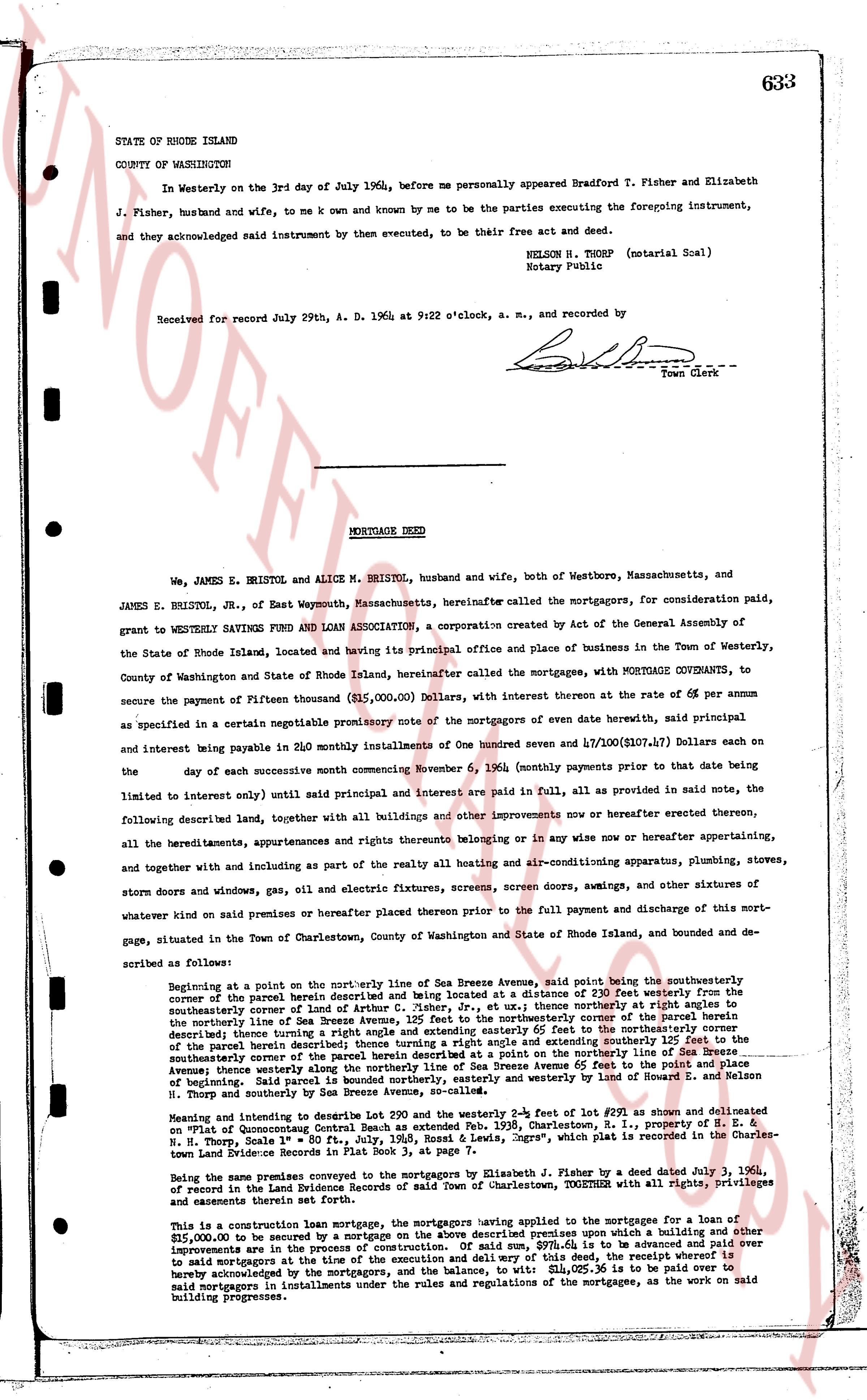
STATE OF RHODE ISLAND
COUNTY OF WASHINGTON
In Westerly on the 3rd day of July 1964, before me personally appeared Bradford T. Fisher and Elizabeth J. Fisher, husband and wife, to me k known and known by me to be the parties executing the foregoing instrument, and they acknowledged said instrument by them executed, to be their free act and deed.
NELSON H. THORP (notarial Seal)
Notary Public
Received for record July 29th, 1964, A. D. 9:22 o'clock, a. m., and recorded by
[Signature]
Town Clerk
----
MORTGAGE DEED
We, JAMES E. BRISTOL, Jr. and ALICE M. BRISTOL, husband and wife, both of Westhoure, Massachusetts, and JAMES E. BRISTOL, Jr., of East Weymouth, Massachusetts hereinafter called the mortgagors, for consideration paid, grant to WESTERLY SAVINGS FUND AND LOAN ASSOCIATION, a corporation created by Act of the General Assembly of the State of Rhode Island, located and having its principal office and place of business in the Town of Westerly, County of Washington and State of Rhode Island, hereinafter called the mortgagee, with MORTGAGE COVENANTS, to secure the payment of Fifteen thousand ($15,000.00) Dollars, with interest thereon at the rate of 6% per annum as specified in a certain negotiable promissory note of the mortgagors of even date herewith, said principal and interest being payable in 240 monthly installments of One hundred seven and 47/100 ($107.47) Dollars each on the 8 day of each successive month commencing November 6, 1964 (monthly payments prior to that date being limited to interest only) until said principal and interest are paid in full, all as provided in said note, the following described land, together with all buildings and other improvements now or hereafter erected thereon, all the hereditaments, appurtenances and rights thereunto belonging in or any wise now or hereafter appertaining, and together with and including as part of the realty all heating and air-conditioning apparatus, plumbing, stoves, storm doors and windows, gas, oil and electric fixtures, screens, screen doors, awnings, and other fixtures of whatever kind on said premises or hereafter placed thereon prior to the full payment and discharge of this mortgage, situated in the Town of Charlestown, County of Washington and State of Rhode Island, and bounded and described as follows:
Beginning at a point on the northwesterly line of Sea Breeze Avenue, said point being the southwesterly corner of the parcel herein described and being located at a distance of 230 feet westerly from the southeasterly corner of the land of Arthur C. Fisher, Jr., et ux, thence northerly at right angle to the northerly line of said parcel herein described, thence easterly to the northeasterly corner of the parcel herein described thence turning a right angle and extending easterly 65 feet to the northeasterly corner of the parcel herein described thence turning a right angle and extending southerly 210 feet to the southeasterly corner of the parcel herein described at a point on the southeasterly line of Sea Breeze Avenue; thence westerly along Sea Breeze Avenue extending 210 feet to the southwesterly corner of the parcel herein described. Said land is bounded northerly, easterly and westerly by the land of Howard L. and Helen M. Thorp and southerly by Sea Breeze Avenue, so-called.
Meaning and intent to describe Lot 290 and the westerly 2-9/10 feet of Lot 47/100 as shown on delineated and "Plat of Charlestown" filed in the Charlestown Land Evidence Book 39, Page 632, filed 7/29/1964, i. e., Property of H. E. M. Thorp, No. Scale 1" = 80 ft., July, 1958, Ross & Lewis, Engrs., which plat is recorded in the Charlestown Land Evidence Record book.
Being the same premises conveyed to the mortgagors by Elizabeth J. Fisher by a deed dated July 1, 1964, of Record in the Land Evidence Records of said Town of Charlestown, TOGETHER with all privileges, rights and easements thereunto appertaining.
This is a construction loan mortgage, the mortgagors having applied to the mortgagee for a loan of $15,000.00 to be secured by a mortgage on the above described premises upon which a building and other improvements are in the process of construction. The mortgagee shall advance from time to time as over to said mortgagors at the discretion of the mortgagee and upon demand and will pay of this deed, the receipt whereof is hereby acknowledged by the mortgagors, and the balance, to wit $12,025.35 is to be paid over to said mortgagors in installments under the rules and regulations of the mortgagee, as the work on said building progresses.
The page as recorded