The instrument's own words
page 1
421
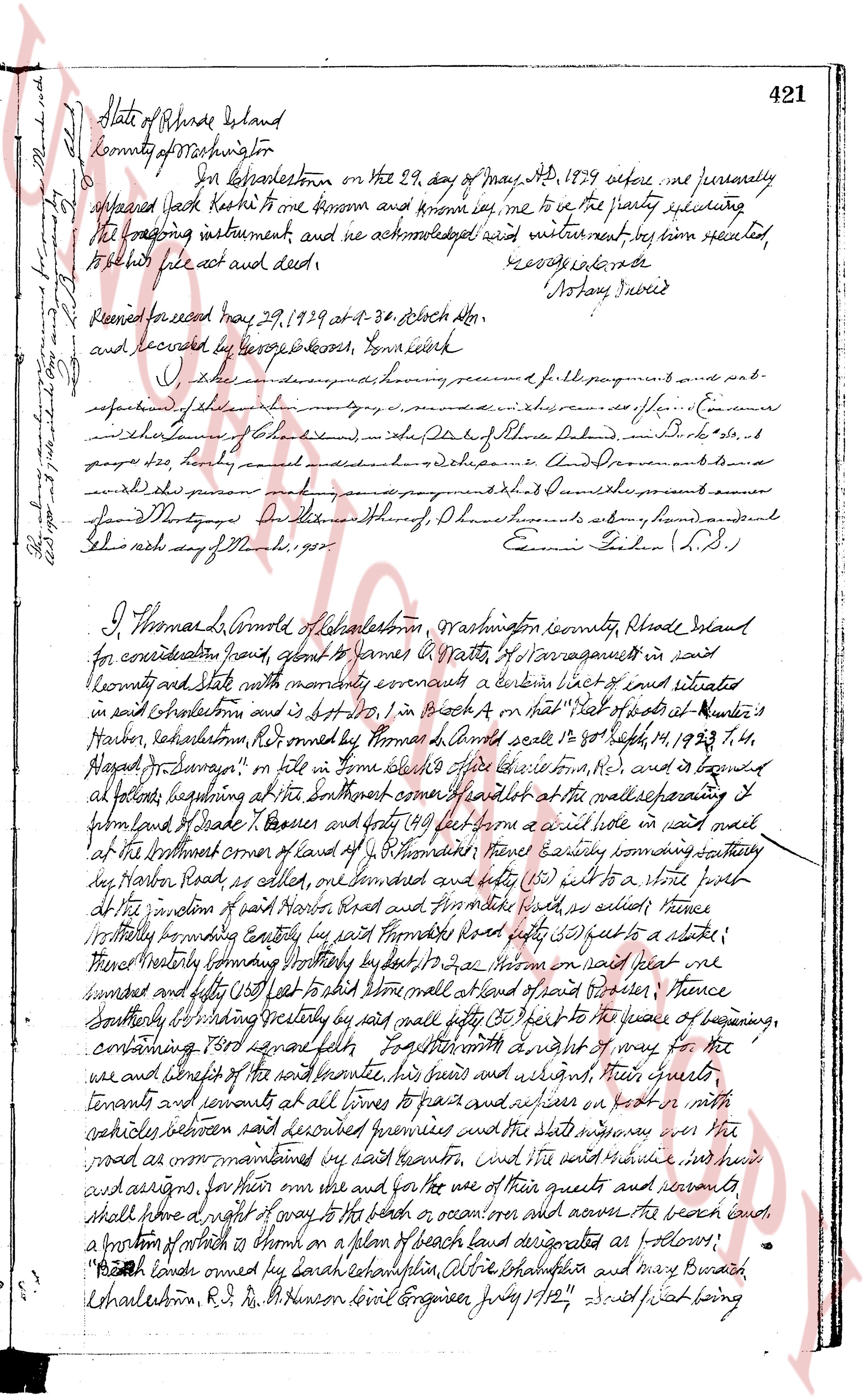
State of Rhode Island
County of Washington
On this twenty-ninth day of May, AD 1829 appear before me personally
appeared Jacob Haskell to me known and known by me to be the party executing
the preceding instrument and we acknowledge and witness next by him executed
to be his free act and deed.
George G. Moore
Notary Public
Recorded for record may 29, 1829 at 3-30 o'clock A.M.
and sealed by George G. Moore, Town Clerk
I, George G. Moore having received from the present a full payment of my fees and
respective of the above I have hereunto set my hand and seal this twenty ninth day of May 1829
and the same is recorded in Book B page 421 of the Land Evidence Records of the Town of Charlestown
by me George G. Moore Town Clerk.
George G. Moore (L.S.)
I, Thomas Arnold of Charlestown, Washington county, Rhode Island
for consideration paid good and sufficient to James Pratt of Narragansett in said
county and state with monthly covenants convey a indenture dated and executed
in said Charlestown and is described in Vol B page 41 of that "piece of land called the
Harbor, headlands, R.I. conveyed to Thomas Arnold said’le 20th Sept 14, 1823 p. 74,
Book B Page 74" on file in town clerk office’s records, etc. and is bounded
as follows beginning at the southeasterly corner of said lot at the wharfage lining
to form land of Shade T. Parsons and 49 feet from a nail set in a nail hole in said nail
at the northmost corner of land of the aforementioned Thomas Arnold running southerly
to the Harbor head as called on the map convened and set (25) feet to a stone post
at the bottom of paid Moore’s Road and then easterly (45) feet as witness fence
westerly boundary corner easterly by said Moore’s road forty (50) feet to a stake in
the westerly boundary running southerly by a nail set in a stone on said plot we
bounded and set forty (40) feet to the stone wall at foot of said fence thence
southerly extending easterly by said nail forty (40) feet to the fence of beginning,
containing three rods squared fully together with a right of way for the
use and benefit of the said property house his heirs and assigns their guests
tenants and servants of all kinds to pass and repass on foot or in carts
vehicles whatever said premises and the state highway or the
road as maintained by said center, but it is understood that he and his
heirs and assigns for their own use and for the use of their guests and servants
shall have a right of way to the beach or ocean over the beach road,
a portion of which is shown on a plan of beach road designated as follows:
"Beach land owned by Sarah Chapin Phillips, Alice Shalfus and Mary Burach
Charlestown, R.I. D. M. Benson town Engineer May 1/12" and that being
The page as recorded