The instrument's own words
page 1 · read by Gemma vision
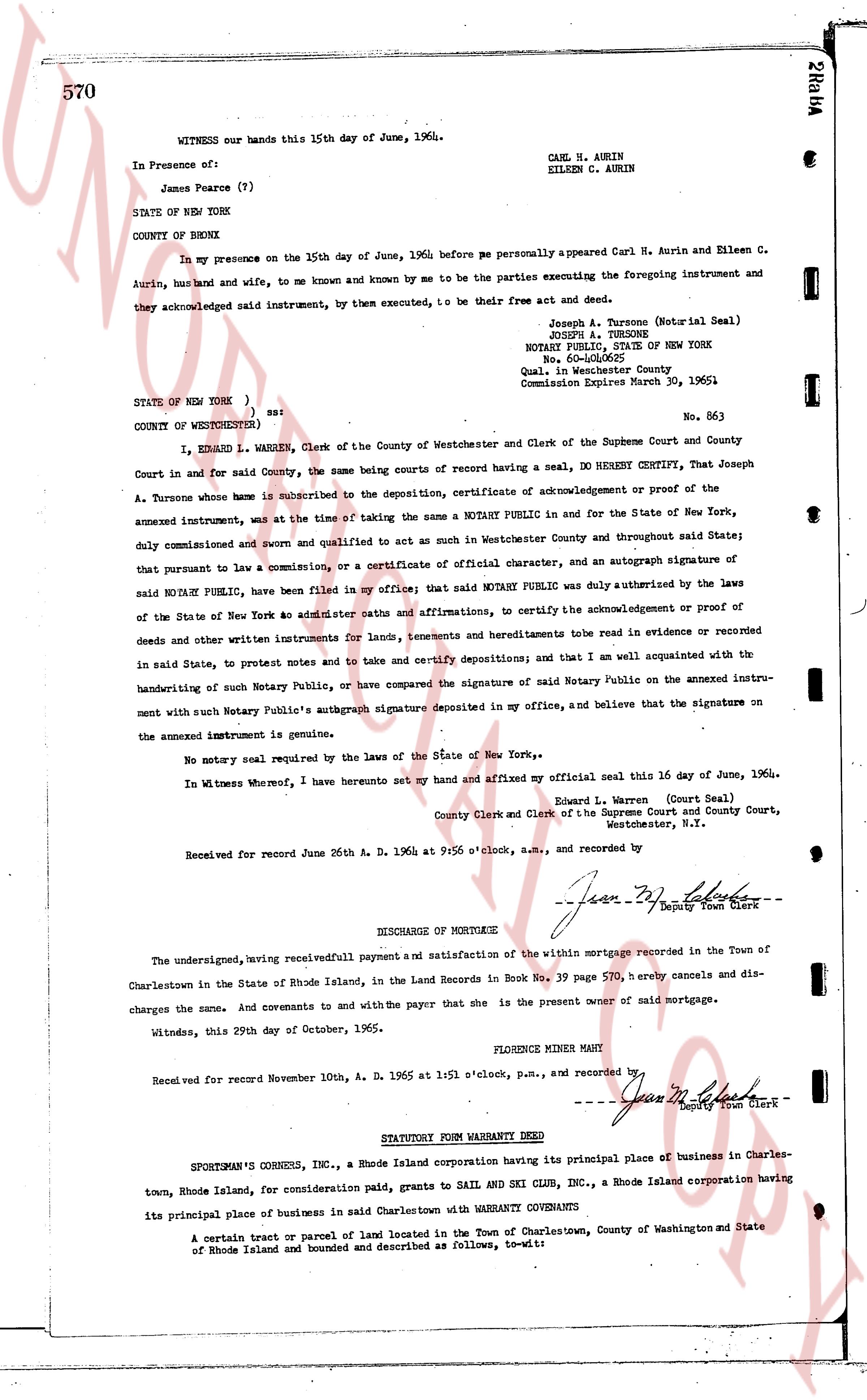
570
WITNESS our hands this 15th day of June, 1964.
CARL N. AURIN
EILEEN C. AURIN
In Presence of:
James Pearce (?)
STATE OF NEW YORK
COUNTY OF BRONX
In my presence on the 15th day of June, 1964 before me personally appeared Carl N. Aurin and Eileen C. Aurin, husband and wife, to me known and by me to be the parties executing the foregoing instrument and they acknowledged said instrument, by them executed, to be their free act and deed.
Joseph A. Tursone (Notarial Seal)
NOTARY PUBLIC, STATE OF NEW YORK
No. 600-400052
Qual. in Westchester County
Commission Expires March 30, 1965
STATE OF NEW YORK )
COUNTY OF WESTCHESTER ) ss:
No. 863
I, EZRA L. WARREN, Clerk of the County of Westchester and Clerk of the Supreme Court and County Court in and for said County, the same being courts of record having a seal, DO HEREBY CERTIFY, That Joseph A. Tursone whose name here above is subscribed to the deposition, certificate of acknowledgment or proof of the annexed instrument, was at the time of taking the same a NOTARY PUBLIC in and for the State of New York, duly commissioned and sworn and qualified to act as such in Westchester County and throughout said State; that pursuant to law a commission, or a certificate of official character, and an autograph signature of said NOTARY PUBLIC, have been filed in my office; that said NOTARY PUBLIC was duly authorized by the laws of the State of New York ad interim caster caths and affirmations, to certify the acknowledgments or proof of deeds and other written instruments for lands, tenements and hereditaments to be read in evidence or recorded in said State, to protest notes and to take and certify depositions; and that I am well acquainted with the handwriting of such Notary Public, or have compared the signature of said Notary Public on the annexed instrument with such Notary Public's autograph signature deposited in my office, and believe that the signature on the annexed instrument is genuine.
No notary seal required by the laws of the State of New York.
In Witness Whereof, I have hereunto set my hand and affixed my official seal this 16 day of June, 1964.
Edward L. Warren (Court Seal)
County Clerk and Clerk of the Supreme Court and County Court,
Westchester, N.Y.
Received for record June 26 A. D. 1964 at 9:45 o'clock, a.m., and recorded by
[Signature] Deputy Town Clerk
DISCHARGE OF MORTGAGE
The undersigned, having received fullpayment and satisfaction of the within mortgage recorded in Book 39 page 570, hereby cancels and discharges the same. And covenants to and with the payer That she is the present owner of said mortgage.
Witness, this 29th day of October, 1965.
FLORENCE MINER MAIN
Received for record November 10, A. D. 1965 at 1:51 o'clock, p.m., and recorded by
[Signature] Deputy Town Clerk
----
STATUTORY FORM WARRANTY DEED
SPORTSMAN'S CORNERS INC., a Rhode Island corporation having its principal place of business in Charlestown, Rhode Island, for consideration paid, grants to SAIL AND SKI CLUB INC., a Rhode Island corporation having its principal place of business in said Charlestown with WARRANTY COVENANTS
A certain tract or parcel of land located in the Town of Charlestown, County of Washington and State of Rhode Island and bounded and described as follows, to-wit:
page 2 · read by Gemma vision
571
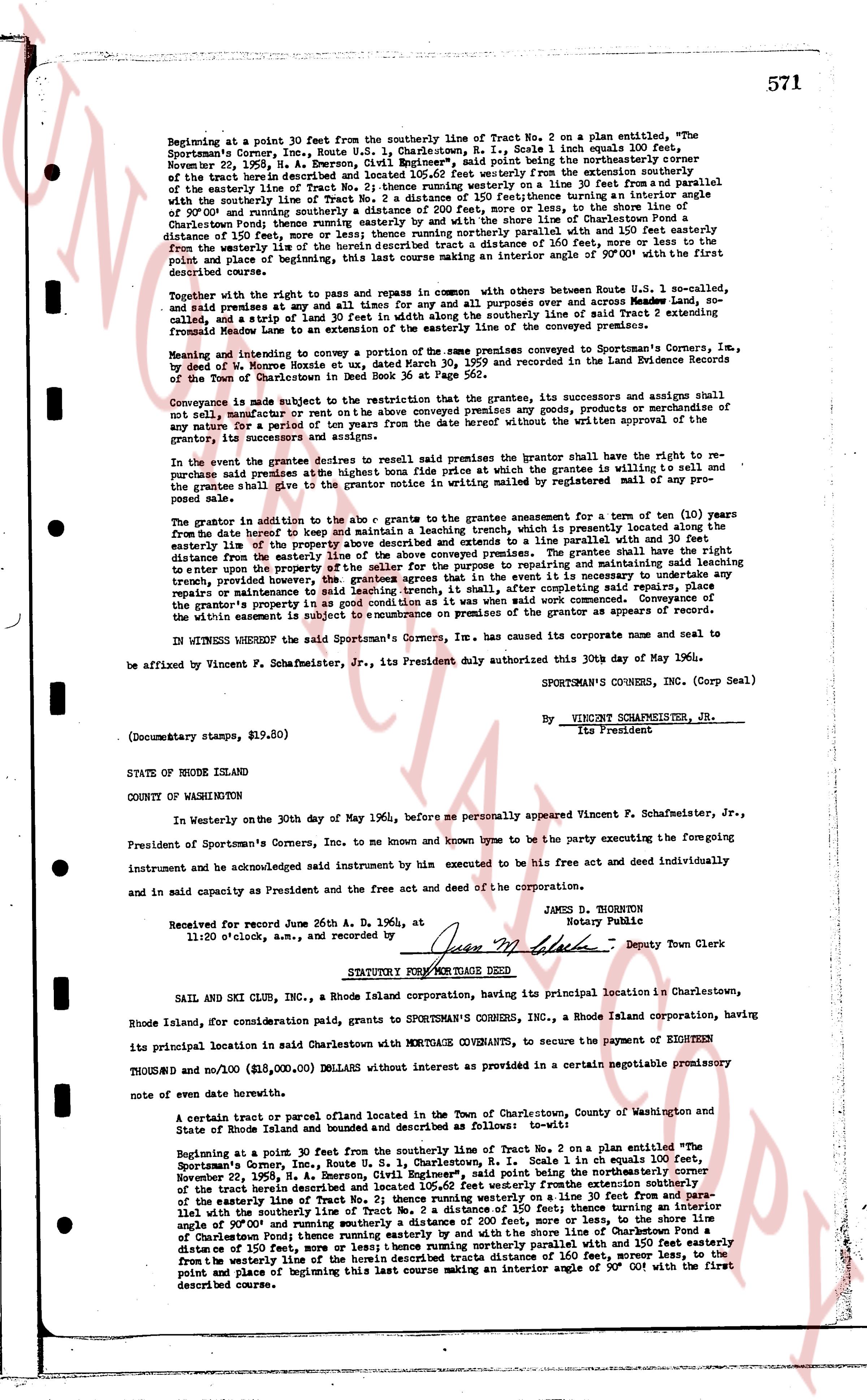
Beginning at a point 30 feet from the southerly line of Tract No. 2 on a plan entitled, "The Sportsman's Corners Inc., Route U.S. 1, Charlestown, R. I., Scale 1 inch equals 100 feet, November 22, 1935," N. A. Emerson, Civil Engineer, being the northeasterly corner of the tract herein described and located 105.62 feet westerly from the extension southerly from the easterly line of Tract No. 2; thence running westerly on a line 30 feet from and parallel with the westerly line of Tract No. 2 a distance of 150 feet; thence turning an interior angle of 90°00' and running southerly a distance of 200 feet, more or less, to the shore line of Charlestown Pond; thence running easterly and by the shore line of Charlestown Pond a distance of 150 feet, more or less; thence running northerly parallel with and 150 feet easterly from the westerly line of the herein described tract a distance of 160 feet, more or less, to the point and place of beginning of this last course making an interior angle of 90°00' with the first described course.
Together with the right to pay and repair in common with, others between Route U.S. 1, and southerly, and said right extends at any and all times for any and all purposes over and across Madeira Avenue, southerly, and a strip of land 5 feet in width along with others already using said line and tract 2 extending frontally from Madeira Avenue to the easterly boundary line of the conveyed premises.
Meaning and intending to convey a portion of the same premises conveyed to Sportsman's Corners Inc., by a deed of W. Monroe Hustis on the date, March 30, 1959 and recorded in the Land Evidence Records of the Town of Charlestown.
Conveyor is made subject to the restriction that the grantor, its successors and assignees shall not sell, manufacture or rent for sale on the above conveyed premises any goods, products or merchandise of any nature for a period of ten (10) years from the date hereof without the written approval of the grantee, its successors and assigns.
In the event the grantee desires to resell said premises the grantor shall have the right to repurchase said premises at the highest bona fide price at which the grantee is willing to sell and the grantee shall give the grantor written notice of its intention to resell by registered mail of any proposed sale.
The grantor in addition to the above is to grant the grantee a reservation for the term of ten (10) years from the date hereof to keep and maintain a leaching system, which is presently located along the easterly line of the property described above and extending to a line parallel with the southerly line a distance from the easterly line of the property described above. The grantee shall have the right to enter upon the property of the seller for the purposes to repumping and maintaining said leaching system, provided however that the grantee shall not be required to do so unless it is necessary for the repair, maintenance or functioning of said leaching trench, it shall complete said repairs, replace, if the grantor's property is in good condition as it was when conveyed and shall leave the utility easement and the property of the grantor on premises of the grantor as appears of record.
IN WITNESS WHEREOF the said Sportsman's Corners, Inc. has caused its corporate name and seal to be affixed by Vincent P. Schafmaster, Jr., its President duly authorized this 30th day of May 1964.
SPORTSMAN'S CORNERS, INC. (Corp Seal)
By Vincent SCHAFMASTER, JR.
Its President
(Documentary stamps, $19.80)
STATE OF RHODE ISLAND
COUNTY OF WASHINGTON
In Westerly on the 30th day of May 1964, before me personally appeared Vincent P. Schafmaster, Jr., President of Sportsman's Corners, Inc. to me known and known by me to be the party executing the foregoing instrument and acknowledged said instrument by him executed to be his free act and deed individually and in as capacity and President as the free act and deed of the corporation.
JAMES D. THORNTON
Notary Public
Received for record June 26th A. D. 1964, at 11:20 o'clock a.m., and recorded by
Jean M. [?] Deputy Town Clerk
STATUTORY WARRANT FOR MORTGAGE DEED
SAIL AND SKI CLUB INC., a Rhode Island corporation, having its principal location in Charlestown, Rhode Island, for consideration paid, grants to SPORTSMAN'S CORNERS, INC., a Rhode Island corporation, having its principal location in said Charlestown with MEREDITH O'CONNOR, to secure the payment of HIGHLIGHT THOUSAND and no 100 ($15,000.00) Dollars) without interest as provided in a certain promissory note of even date herewith.
A certain tract uy parcel of land located in the Town of Charlestown, County of Washington and state of Rhode Island and bounded and described as follows to-wit:
Beginning at a point 30 feet from the southerly line of Tract No. 2 on a plan entitled "The Sportsman's Corners, Inc., Route U. S. 1, Charlestown, R. I., Scale 1 inch equals 100 feet, November 22, 1935," N. A. Emerson, Civil Engineer, being the northeasterly corner of the tract herein described and located 105.62 feet westerly from the extension southerly from the easterly line of Tract No. 2; thence running westerly on a line 30 feet from and parallel with the southerly line of Tract No. 2 a distance of 150 feet; thence turning an interior angle of 90°00' and running southerly a distance of 200 feet, more or less, to the shore line of Charlestown Pond; thence running easterly and by the shore line of Charlestown Pond a distance of 150 feet, more or less; thence running northerly parallel with and 150 feet easterly from the westerly line of the herein described tract a distance of 160 feet, more or less, to the point and place of beginning of this last course making an interior angle of 90°00' with the first described course.
The page as recorded