The instrument's own words
page 1 · read by Gemma vision
552
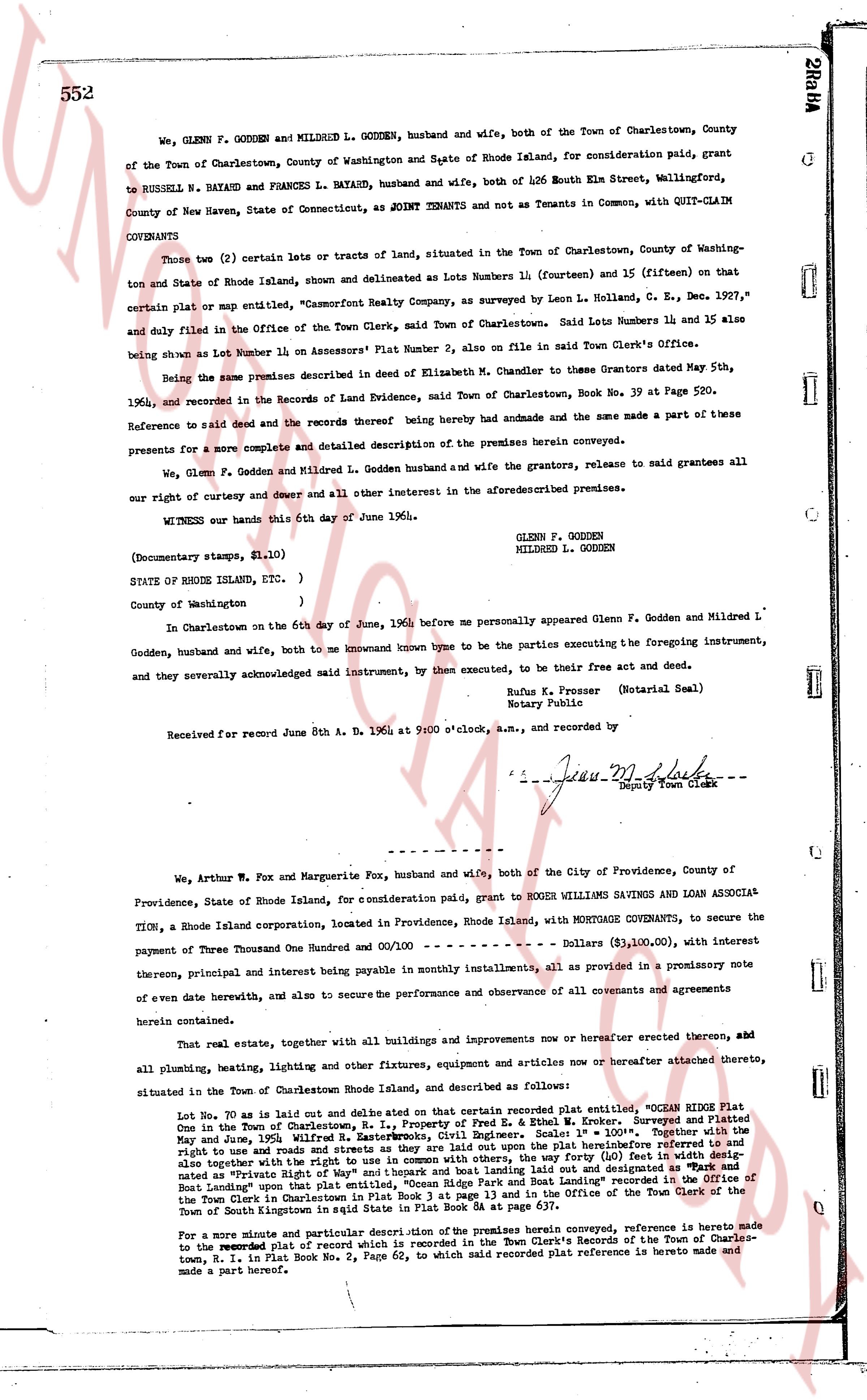
WE, GLENN F. GODDEN AND MILDRED L. GODDEN, husband and wife, both of the Town of Charlestown, County of the Town of Charlestown, County of Washington and State of Rhode Island, for consideration paid, grant to RUSSELL N. BAYARD AND FRANCES L. BAYARD, husband and wife, both of 426 South Elm Street, Wallingford, County of New Haven, State of Connecticut, as said GRANTEES and not as Tenants in Common, with QUIT-CLAIM
COVENANTS
Those two (2) certain lots or tracts of land, situated in the Town of Charlestown, County of Washington and State of Rhode Island, shown and delineated as Lot Numbers 14 (fourteen) and 15 (fifteen) on that certain plat or map entitled, "Champlain Realty Company, as surveyed by Leon H. Colland, C. E. Dec. 1927," and duly filed in the Office of the Town Clerk, said Town of Charlestown. Said Lots Numbers 14 and 15 also being shown as Lot Number 11 on Assessors' Plat Number 2, also on file in said Town Clerk's Office.
Being the same premises described in said deed of Elizabeth M. Chandler to she Trustees Granters dated May 5th, 1964, and recorded in the Records of Land Evidence, said Town of Charlestown, Book No. 39 at Page 520.
Reference to said deed and the records thereof hereby had subordinate and the same made a part of these premises for a more complete and detailed description of the premises herein conveyed.
We, Glenn F. Godden and Mildred L. Godden husband and wife the grantors, release, to said grantees all our right of curtesy and dower and all other interest in the aforementioned premises.
WITNESS our hands this 6th day of June 1964.
GLENN F. GODDEN
MILDRED L. GODDEN
(Documentary stamps, $1.10)
STATE OF RHODE ISLAND, ETC. )
)
County of Washington )
In Charlestown on the 6th day of June, 1964 before me personally appeared Glenn F. Godden and Mildred L. Godden, husband and wife, both to me known known by true name to be the parties executing the foregoing instrument, and they severally acknowledged said instrument, by them executed, to be their free act and deed.
Rufus E. Presser (Notarial Seal)
Notary Public
Received for record June 8th A. D. 1964 at 9:00 o'clock, a.m., and recorded by
[Signature]
Deputy Town Clerk
----
We, Arthur W. Fox and Marguerite Fox, husband and wife, both of the City of Providence, County of Providence, State of Rhode Island, for consideration paid, grant to ROGER WILLIAMS SAVINGS AND LOAN ASSOCI TION, a Rhode Island corporation, located in Providence, Rhode Island, with MORTGAGE COVENANTS, to secure the payment of Three Thousand One Hundred One and 00/100 - - - - - - - - - Dollars ($3,100.00), with interest thereon, principal and interest being payable in monthly installments, all as provided in a promissory note of even here date herewith, and also to secure the performance and observance of all covenants and agreements herein contained.
That real estate, together with all buildings and improvements now upon or hereafter erected thereon, aid all plumbing, heating, lighting and other fixtures, equipment and articles now or hereafter attached thereto, situated in the Town of Charlestown Rhode Island, and described as follows:
Lot No. 19 as laid out and delineated on that certain recorded plat entitled, "OCEAN RIDGE PLAT in the Town of Charlestown, R.I., Property of Fred E. & Ethel W. Cromer," surveyed and Platted in May and June, 1956 Wilfred H. Wastcott, Registered Surveyor and Platted as follows: "Beginning at a stake at the right of way and road street, as they are laid out upon the platinsertBefore referenced to and also together with the right to use and common with others, the said right of way (60) feet wide, as laid out and designated as "State and Town Roads" upon that plat entitled, "Ocean Ridge Plat and Road Landing" recorded in the Office of the Town Clerk, in Charlestown, County of Washington, Rhode Island, in the Office of the Town Clerk, in the Town of South Kingstown in said State in Plat Book 54 at page 637.
For a more minute and particular description of the premises herein conveyed, reference is hereby made to the recorded Plat of record which is annexed to the Town Clerk's Records of the Town of Charlestown, R.I. in Plat Book No. 54, Page 63, to which said recorded plat reference is hereby made and made a part hereof.
page 2 · read by Gemma vision
553
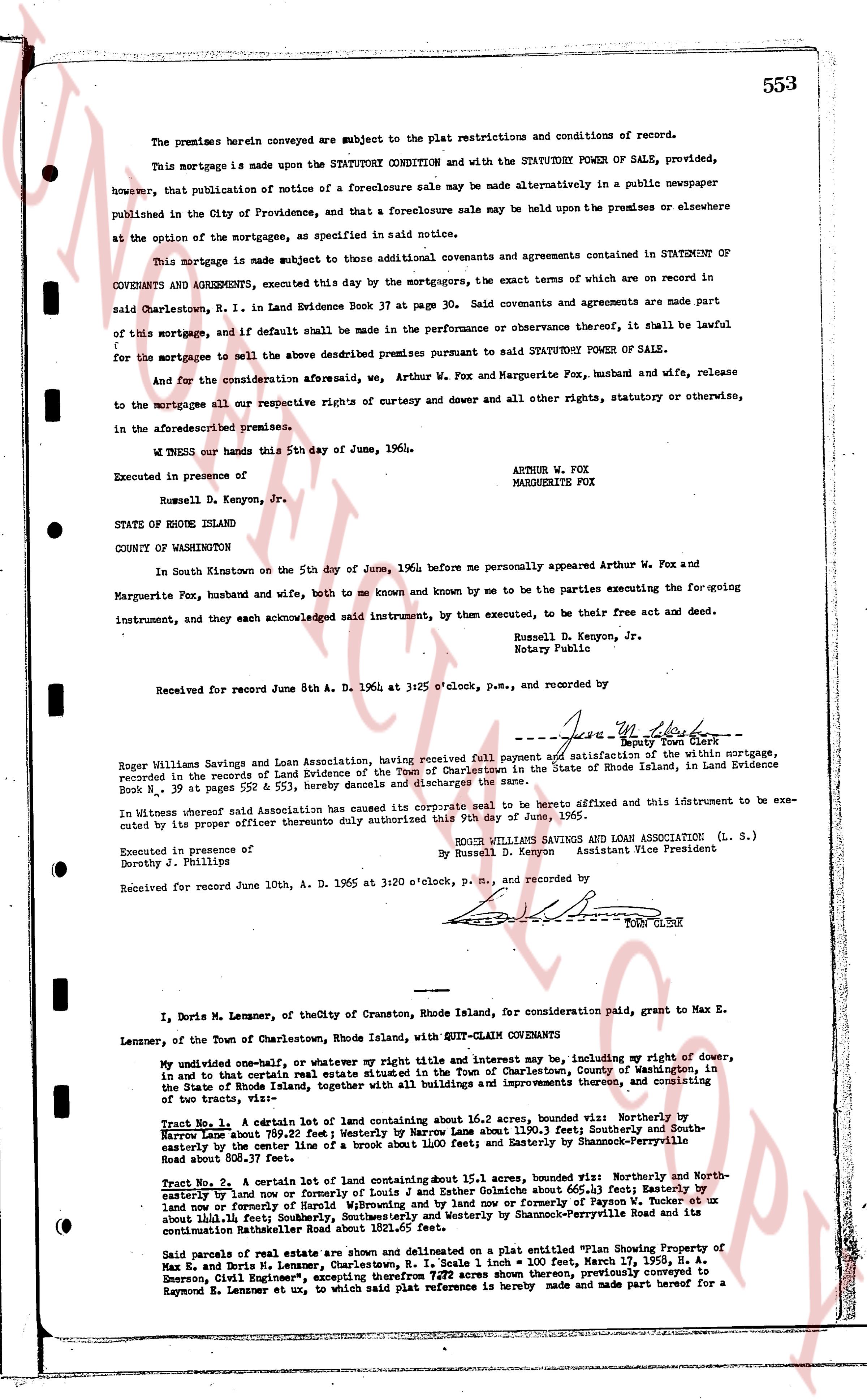
The premises herein conveyed are subject to the plat restrictions and conditions of record.
This mortgage is made upon the STATUTORY CONDITION and with the STATUTORY POWER OF SALE, provided, however, that publication of notice of a foreclosure sale may be made alternatively in a public newspaper published in the City of Providence, and that a foreclosure sale may be held upon the premises or elsewhere at the option of the mortgagee, as specified in said notice.
This mortgage is made subject to those additional covenants and agreements contained in STATEMENT OF COVENANTS AND AGREEMENTS, executed this day by the mortgagors, the exact terms of which are recorded in said Charlestown, R. I. in Land Evidence Book 37 at page 30. Said covenants and agreements are made part of this mortgage, and if default shall be made in the performance or observance thereof, it shall be lawful for the mortgagee to sell the above described premises pursuant to SAID STATUTORY POWER OF SALE.
And for the consideration aforesaid, we, Arthur W. Fox and Marguerite Fox, husband and wife, release to the mortgagees all our respective rights of curtesy and dower and all other rights, statutory or otherwise, in the aforementioned premises.
WITNESS our hands this 5th day of June, 1964.
Executed in presence of
Russell D. Kenyon, Jr.
STATE OF RHODE ISLAND
COUNTY OF WASHINGTON
In South Kingstown on the 5th day of June, 1964 before me personally appeared Arthur W. Fox and Marguerite Fox, husband and wife, both to me known and known by me to be the parties executing the foregoing instrument, and they each acknowledged said instrument, by them executed, to be their free act and deed.
Russell D. Kenyon, Jr.
Notary Public
Received for record June 8th A. D. 1964 at 3:25 o'clock, p. m., and recorded by
[Signature]
----
--- June 10 1965 --- Release of Mortgage ---
Roger Williams Savings and Loan Association, having received full payment and satisfaction of the within mortgage, recorded in the records of Land Evidence of the Town of Charlestown in the State of Rhode Island, in Land Evidence Book N. 39 at pages 552 & 553, hereby cancels and discharges the same.
In witness whereof said Association has caused its corporate seal to be hereto affixed and this instrument to be executed by its proper officer thereunto duly authorized this 10th day of June, 1965.
ROGER WILLIAMS SAVINGS AND LOAN ASSOCIATION (L. S.)
By Russell D. Kenyon Assistant Vice President
Executed in presence of
Dorothy J. Phillips
Received for record June 10th, A. D. 1965 at 3:20 o'clock, p. m., and recorded by
[Signature]
Town Clerk
----
I, Doris M. Lennemer, of the City of Cranston, Rhode Island state, for consideration paid, grant to Max E. Lennemer, of the Town of Charlestown, Rhode Island state, with QUIT-CLAIM COVENANTS
My undivided one-half, or whatever my right title and interest may be, including my right of dower, in and to that certain real estate situated in the Town of Charlestown, County of Washington, in the State of Rhode Island, together with all buildings and improvements thereon, consisting of two tracts, viz:
Tract No. 1. A certain lot of land containing about 16.0 acres, bounded viz: Northerly by [?]
Hempstead about 889.2 feet; westerly by Narrow Lane about 1190.3 feet; Southerly by South-
Hempstead about 889.2 feet; and easterly by Narrow Lane about 1190.3 feet; and easterly by Shannonville-
easterly by the center line of a bout 1160 feet; and easterly by Shannonville-French Road
about 808.30 feet. 37 sq ft.
Tract No. 2. A certain lot of land containing about 15.3 acres, bounded viz: Northerly and North-
easterly by a line from the corner of Louisy and John & Esther Galache about 665.1 feet; Easterly by
land now or formerly of Harold Williams and by land now or formerly of Faygon W. [?], south-
eastly by a line from the corner of Louisy and John & Esther Galache to Shannonville Road and its
continuation Narragansett Road about 1321.65 feet.
Said parcels of real estate are shown and delineated on a plat entitled "Plan Showing Property of
Max E. and Doris M. Lennemer, Charlestown, R.I. Scale 1 inch = 100', Date 17 Nov, 1959, H. A.
Emerson, Civil Engineer", excepting 7.272 acres shown thereon, previously conveyed to
Raymond E. Lennemer et ux, to which said plat reference is hereby made and made part hereof for a
The page as recorded