The instrument's own words
page 1 · read by Gemma vision
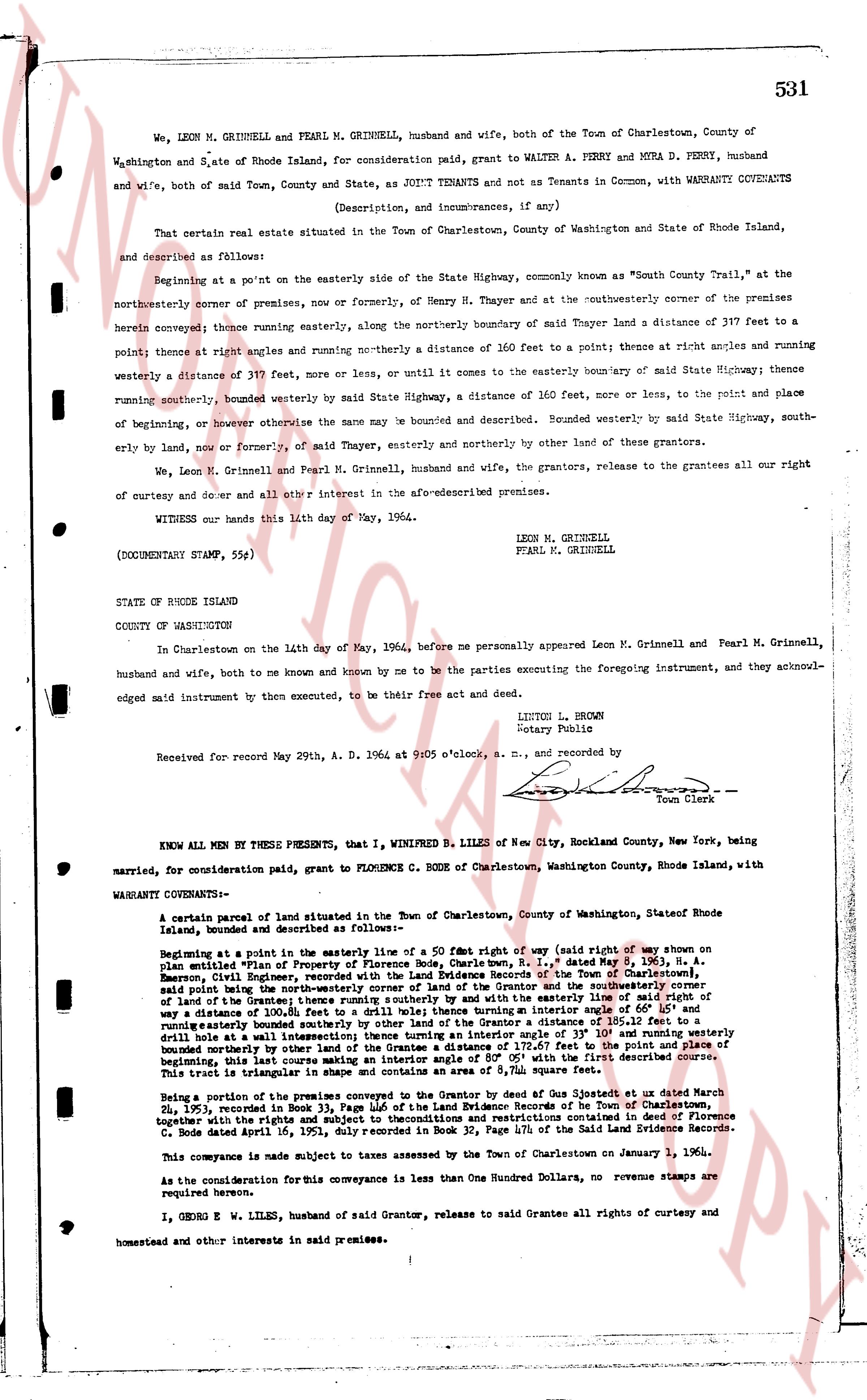
531
We, LEON N. GRINNELL and PEARL M. GRINNELL, husband and wife, both of the Town of Charlestown, County of Washington and State of Rhode Island, for consideration paid, grant to WALTER A. PERRY and MURA D. PERRY, husband and wife, both of said Town, County and State, as JOINT TENANTS and not as Tenants in Common, with WARRANTY COVENANTS
(Description, and incumbrances, if any)
That certain real estate situated in the Town of Charlestown, County of Washington and State of Rhode Island, and described as follows:
Beginning at a point on the easterly side of the State Highway, commonly known as "South County Trail," at the northeasterly corner of premises, now or formerly, of Henry M. Thayer and at the southeasterly corner of the premises herein conveyed; thence running easterly, along the northerly boundary of said Thayer land a distance of 397 feet to a point; thence at right angles and running northerly to a distance of 160 feet to a point; thence at right angles and running westerly a distance of 397 feet, more or less, or until it comes to the easterly boundary of said State Highway; thence running southerly, bounded westerly by said State Highway, a distance of 160 feet, more or less, to the point and place of beginning, or however otherwise the same may be bounded and described. Bounded westerly by said State Highway, southerly by land, now or formerly, of said Thayer, easterly and northerly by other land of these grantors.
We, Leon N. Grinnell and Pearl M. Grinnell, husband and wife, the grantors, release to the grantees all our right of curtesy and dower and all other interest in the above-described premises.
WITNESS our hands this 14th day of May, 1964.
LEON N. GRINNELL
PEARL M. GRINNELL
(DOCUMENTARY STAMP, 55¢)
STATE OF RHODE ISLAND
COUNTY OF WASHINGTON
In Charlestown on the 14th day of May, 1964, before me personally appeared Leon N. Grinnell and Pearl M. Grinnell, husband and wife, both to me known and known by me to be the parties executing the foregoing instrument, and they acknowledged said instrument to be their free act and deed.
LITTON L. BROWN
Notary Public
Received for record May 29th, A. D. 1964 at 9:05 o'clock, a. M., and recorded by [?] Town Clerk
----
KNOW ALL MEN BY THESE PRESENTS, that I, WINIFRED B. LILES of New City, Rockland County, New York, being married, for consideration paid, grant to FLORENCE C. BODE of Charlestown, Washington County, Rhode Island, with
WARRANTY COVENANTS:
A certain parcel of land situated in the Town of Charlestown, County of Washington, State of Rhode Island, bounded and described as follows:—
Beginning at a point in the easterly line of a 50 ft widened right of way (said right of way on the south side being part of the former premises of Henry M. Thayer, as appears in Book 31, page 163,) H. A. Emerson, Phil. Boundary, recorded with the Registry of Deeds Records of the Town of Charlestown, Rhode Island, as follows:—Beginning at a point in the easterly line of the easterly 1/2 of a 50 ft wide right of way a distance of 100.8 feet to a drill hole 8" to the drill hole 12" thence turning an easterly angle of 60° 15' and running easterly bounded southerly by land of the grantees a distance of 150 feet to the point and place of beginning, said drill hole being at a westerly corner of land of the Grantor and the southerly line of the right of way; thence drilling hole at a westerly corner of land of the Grantor and the southerly line of the right of way, running easterly, bounded southerly by land of the grantees a distance of 150 feet with the first described convergence. This bext is triangular in shape and contains an area of 8,544 square feet.
Being a portion of the premises conveyed to the Grantor by deed of Gus Abate, at deed dated March 28, 1935, recorded in Book 34, page 131, of the land evidence records of the Town of Charlestown, together with the rights and subject to the restrictions and reservations contained in deed to Florence C. Bode dated April 16, 1951, duly recorded in Book 34, page 474, of the said Land Evidence Records.
This conveyance is made subject to taxes assessed by the Town of Charlestown on January 1, 1961.
As the consideration for this conveyance is less than One Hundred Dollars, no revenue stamps are required herewith.
I, GEORGE W. LILES, husband of said Grantor, release to said Grantee all rights of curtesy and homestead and other interests in said premises.
page 2 · read by Gemma vision
532
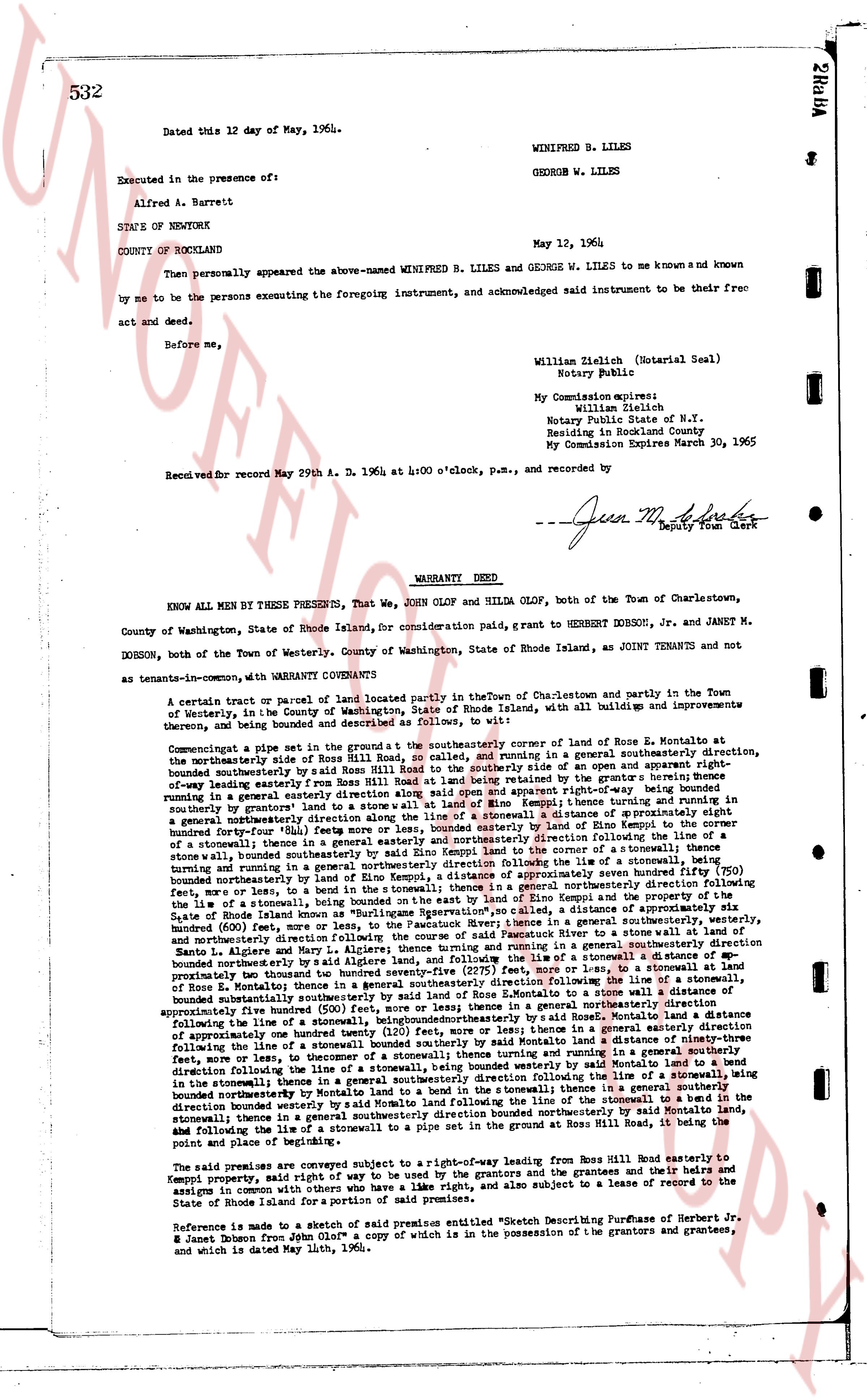
Dated this 12 day of May, 1964.
WINIFRED B. LILES
GEORGE W. LILES
Executed in the presence of:
Alfred A. Barrett
STATE OF NEWYORK
COUNTY OF ROCKLAND
May 12, 1964
Then personally appeared the above-named WINIFRED B. LILES and GEORGE W. LILES to me known and known by me to be the persons executing the foregoing instrument, and acknowledged said instrument to be their free act and deed.
Before me,
William Zielich (Notarial Seal)
Notary Public
My Commission expires:
William Zielich
Notary Public State of N.Y.
Residing in Rockland County
My Commission Expires March 30, 1965
Recorded for record May 29th A. D. 1964 at 4:00 o'clock, p.m., and recorded by
---
[Signature]
Jean M. [?]
Deputy Town Clerk
WARRANTY DEED
KNOW ALL MEN BY THESE PRESENTS, That We, John OLOW and Hilda OLOW, both of the Town of Charlestown, County of Washington, State of Rhode Island, for consideration paid, grant to HERBERT DORSON, Jr. and JANET M. DORSON, both of the Town of Westerly, County of Washington, State of Rhode Island, as JOINT TENANTS and not as tenants-in-common, with WARRANTY CONVEYANT Covenants:
A certain tract of parcel of land located partly in the Town of Charlestown and partly in the Town of Westerly, in the County of Washington, State of Rhode Island, with all buildings and improvements thereon, being and bounded as described and delineated as follows, to wit:
Comingatage a piece set in the ground at the southeasterly corner of land of Rose E. Konoply at Montallo on the northeasterly side of Road from Ross Hill Road at land of Rose E. Konoply and running in a general southeasterly direction, on the northeasterly side of Road from Ross Hill Road at land of Rose E. Konoply to the southerly side of an open and apparent right-of-way leading easterly from Ross Hill Road at land of Rose E. Konoply, as created by the grant of right-of-way running in a general easterly direction from Ross Hill Road, then running in a general southeasterly direction, on the southerly side of said open and apparent right-of-way being bounded southerly by grantor's land to a stone wall at land of Rose E. Konoply, then running in a general southeasterly direction along said stone wall to a stone wall at land of Rose E. Konoply, a distance of approximately 50 feet, then running in a general southeasterly direction a distance of approximately 80 feet, more or less, bounded easterly by land of Rose E. Konoply, then running in a general southeasterly direction following the line of a stone wall, bounded southeasterly by said line of a stone wall, a distance of approximately 150 feet, then running in a general southeasterly direction bounded forty-four (44) feet more or less, bounded easterly by land of Rose E. Konoply at a distance of approximately 750 feet, more or less, then running in a general southeasterly direction following the line of a stone wall, bounded southeasterly by said stone wall at land of Rose E. Konoply to the corner of a stone wall, then running in a general southeasterly direction along said stone wall, a distance of approximately 100 feet, more or less, bounded southeasterly by land of Rose E. Konoply and the remainder of a tract of land, the line of a stonewall, being bounded on the east by said stone wall at land of Rose E. Konoply and the perimeter of the State of Rhode Island known as the Rhode Island-Connecticut State Line, a distance of approximately 100 feet, more or less, then running in a general southeasterly direction a distance of approximately 600 feet, more or less, to the Pachaug River; thence in a general southeasterly direction, westerly, and northeasterly direction following the course of said river:
then running in a general northeasterly direction to a stone wall turning and running in a general southeasterly direction bounded northeasterly by said algae land, and following said stone wall, a distance of approximately 100 feet, more or less, to a stonewall at a distance of approximately 100 feet, more or less, bounded northeasterly by land of Rose E. Konoply, then running in a general southeasterly direction to a stone wall a distance of approximately five hundred (500) feet, more or less, to a stonewall at a distance of approximately five hundred (500) feet, more or less, then running in a general northeasterly direction a distance of approximately five hundred (500) feet, more or less, to a stone wall a distance of approximately five hundred (500) feet, more or less, to a stonewall at a distance of approximately one hundred twenty (120) feet, more or less, thence in a general northeasterly direction a distance of approximately one hundred twenty (120) feet, more or less, to a stonewall at a distance of approximately one hundred twenty (120) feet, more or less, to a stonewall at a distance of approximately one hundred twenty (120) feet, more or less, to a stonewall turning and running in a general northeasterly direction following the line of a stone wall, a distance of approximately one hundred twenty (120) feet, more or less, to a stonewall then running in a general southeasterly direction following the line of a stonewall, being bounded in a general southeasterly direction following the line of a stonewall, being bounded in a general southeasterly direction following the line of a stonewall, being bounded in a general southeasterly direction following the line of a stonewall, being bounded in a general southeasterly direction following the line of a stonewall, being bounded northeasterly by Montallo land and following said stone wall, then running in a general northeasterly direction a distance of approximately 100 feet, more or less, following the line of a stonewall to a bend in the stonewall thence in a general southeasterly direction bounded northeasterly, then running in a general northeasterly direction a distance of approximately 100 feet, more or less, to a stonewall at Ross Hill Road, be it and abiding the following to be the true and correct boundaries of the said tract of land.
And abiding the following to be the true and correct boundaries of the said tract of land.
And reserving a certain surveyed right-of-way leading from Ross Hill Road easterly to Konoply property, said right-of-way may be used by the grantors and the grantees and their heirs and assigns in common with others who have a like right, and also subject to a lease of record to the State of Rhode Island for a portion of the said premises.
Reference is made to a sketch of said premises entitled "Sketch Describing Purchase of Herbert Jr. & Janet Dorson from John Olow" a copy of which is in the possession of the grantors and grantees, and which is dated May 10th, 1965.
The page as recorded