The instrument's own words
page 1
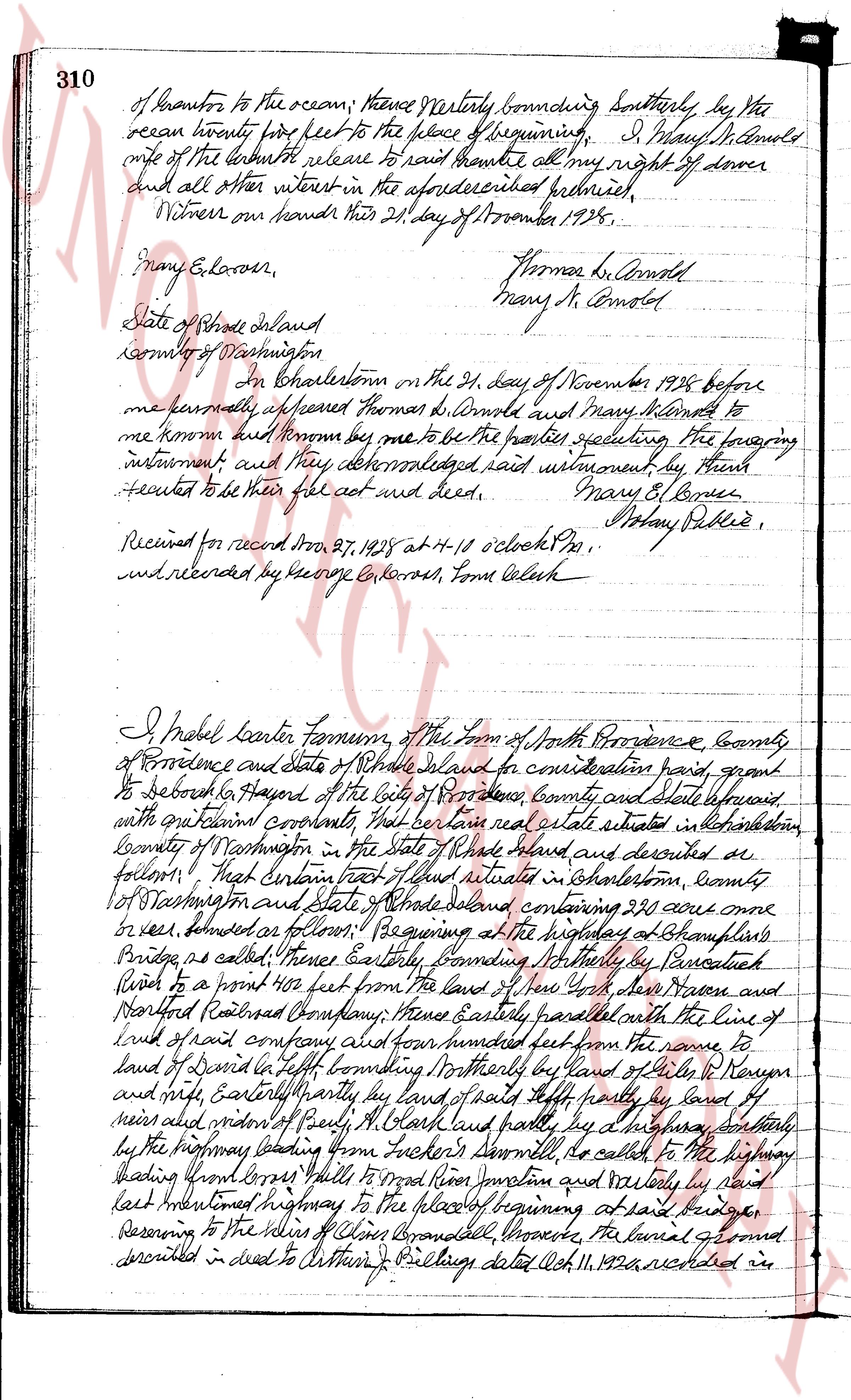
310 of boundaries to the ocean; thence Northeasterly bounding Southerly, by the
ocean hourly five feet to the place of beginning. I, Mary N. Arnold
wife of the late both release to said bramble all my right of dower
and all other interest in the aforementioned premises;
Witness our hands this 21st day of November 1928.
Mary G. Connor, Thomas R. Arnold
Mary N. Arnold
State of Rhode Island
County of Washington
In Charlestown on the 21st day of November 1928 before
me personally appeared Thomas R. Arnold and Mary N. Arnold to
me known and known from them to be the parties executing the foregoing
instrument and they acknowledged said instrument, by them
executed to be their free act and deed. Mary O. Connor
Notary Public
Received for record from Dr. 21, 1928 at H-10 o'clock PM,
and recorded by George G. Connor, Town Clerk
I Mabel Beater Farnum, of the Town of North Providence, County
of Providence and State of Rhode Island for consideration paid, grant
to Deborah G. Hayward of the City of Providence County and State aforesaid
with equatorial coordinates that certain land and real estate situated in Charlestown
County of Washington in the State of Rhode Island and described as
follows: That certain part of a lot situated in Charlestown, county
of Washington and State of Rhode Island containing 230 acres more
or less bounded as follows: Beginning at the highway at Champneys
Bridge, as called, thence Easterly bounding Northerly by Burcelluck
Road to a point 400 feet from the line of the farm of Josiah Moore and
Northfield Railroad Company; thence Easterly parallel with the line of
said railroad company and four hundred feet from the same to
land of David G. Tufts bounding Northerly by land of Miles B. Kenyon
and north Easterly boundary line of said Tufts partly by land of
meirs and around and North Easterly by a highway bounding Southerly
by the highway leading from Tucker's Stormville, to called to the highway
leading from Cross Hills to Wood River Junction and westerly by said
east mentioned highway to the place of beginning at said bridge
Reserving to the heirs of Chris Grandall, Rhode Island, the burial ground
described in deed to Arthur J. Pillsbury dated Oct. 11, 1926 and led in
page 2
land records of said Abenelestem in book 19, page 335, reference to which
deed and record being hereby made for a more particular description of said
land being the same premises conveyed to said Mabel Carter Farnum by
the will of Rufus Farnum the testator's brother whose will is recorded in
the Probate book at Centerville in the town of North Providence County of Providence
and State of Rhode Island. I, Mabel Carter Farnum, furthermore
covenant that I am unmarried.
In witness whereof I have hereunto set my hand this 28th day of November 1925
Witness to signature of Mabel Carter Farnum
Hela M. Hadmard
Martha L. Collingwood
Mabel Carter Farnum. L.S.
State of Rhode Island
County of Providence
In Providence in the 28th day of November 1925 before me
personally appeared Mabel Carter Farnum to me known and known to me
to be the party executing the foregoing instrument and other
acknowledged said instrument day after aforesaid to be her free act and deed.
Howard Collingwood Notary Public. L.S.
Received for record Nov 28th 1925 at 9.10 o clock A.M.
and recorded by George G. Couch, Town Clerk
I, Deborah Haymard, of the city of Providence, County of Providence
and State Rhode Island for consideration paid grant to Mabel Carter
Farnum of the town of North Providence County said State aforesaid and
Drone M. White of the City of Providence, County of Providence State of Mass
Jersey as joint tenants and co tenants in common and to the
survivor of them and her heirs and their assigns forever with quit claim
warranty That certain real estate situate in Pawtucket, county of
Washington in the state of Rhode Island and described as follows viz: That
certain tract of land situated in Pawtucket, county of Washington and
state of Rhode Island containing 22 acres more or less, bounds as
follows: Beginning at the highway at Leponkins Bridge so called thence
Easterly bounding Northerly by Percival Senior to a point 400 feet from
land of Nor. York New York then Northward Railroad boundary thence
Easterly parallel with the line of railroad aforesaid said boundary and four hundred
feet from the same to land of David C. Loft bounding Northerly by
land of Miles R. Kenyon and into Easterly partly by road of said loft
partly by land of others and thence of thence all back and partly
The page as recorded