The instrument's own words
page 1
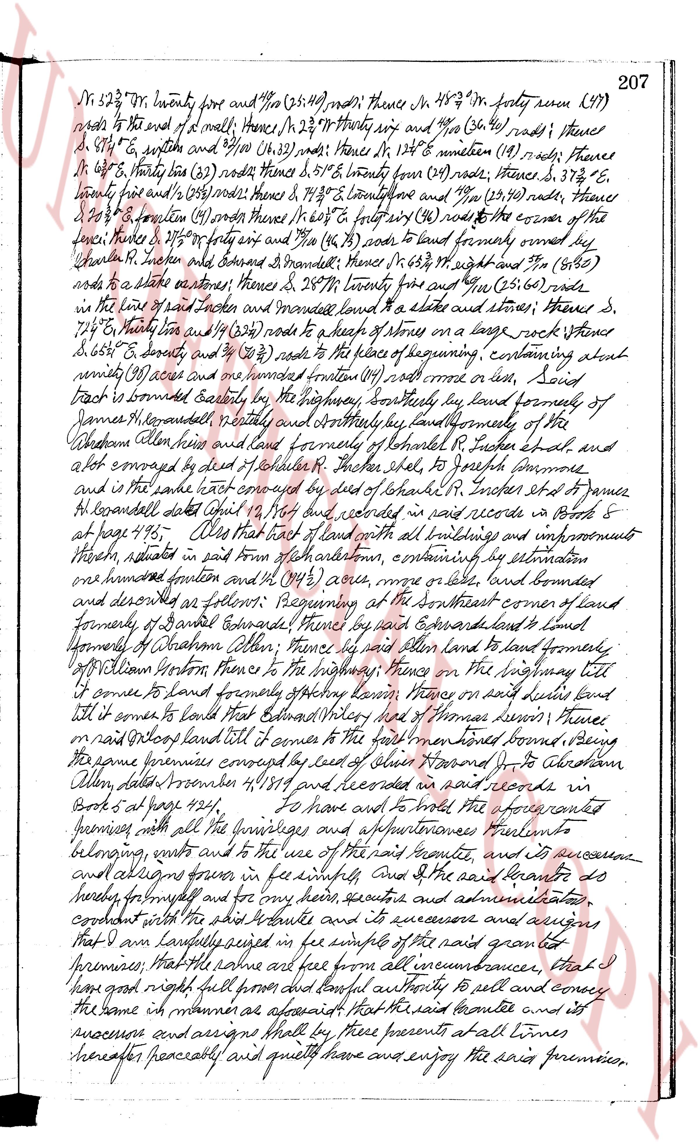
206 KNOW ALL MEN by these presents, That I Emma H.K.
cranwell, of the Town of North Smithfield in the State of Rhode Island (widow)
hereinafter called the grantor, in consideration of the sum of ten
dollars to me paid by Rhode Island Hospital Trust Company,
as a trustee, established under the laws of the State of Rhode Island,
and trustee in the city of Providence hereafter called the
grantee the receipt whereof is hereby acknowledged, do hereby give,
grant bargain sell and convey quit claim unto the said grantee and its
successors and assigns forever in fee simple, That tract of land
with all buildings built improvements thereon situate in the Town
of Northsmithfield and State of Rhode Island being the place known as
the Colburn Farm, formerly the property of Joseph W. Colburn, bounding
northerly on land formerly of Joseph Chapman, land formerly of
the prison allied land called formerly the parsel of Ebridge M Cranwell
on the north and east side by Applegate Brook and the highway,
being the same tract described in deed from Isaac Historical to
Timothy Clark et al dated March 7, 1849 and recorded in the records
of Land Evidence in said Town of Northsmithfield in Book 1 page
182, and in deed from Timothy Clark and wife to Joseph W.
Colburn dated August 18, 1877 and recorded in said office in book
No 7 at page 275 with the exception of the portion thereof conveyed by
deed of Joseph W. Colburn to Joseph Cummins dated September 1, 1883
and recorded in said office in Book 7 at page 423, said
tract is acres described as the same tract conveyed by deed of Prison L,
clark et al to James Coleman dated July 27, 1859 and recorded in
said records in Book 8 at page 283. For a further description of the
original Colburn or Patterson farm so called as described in the two
afore mentioned reference is made to a plat of the same made by
John Wilson surveyor in the year 1875 together with Christopher
le derson and stephen derson were a committee appointed by the
court of common pleas for the county of Providence to make partition
of the Estate of Edward Wiley, Esq formery of Charlestown, deceased
between his heirs milling wife of leadrington Pollings, and the children
of Joseph leery 2nd formerly of Abelton town deceased called that tract
of land with all buildings and improvements thereon situate in
said Town of Charlestown known as part of the Wiley land and
bounded and described as follows: Beginning at the northeast corner
of said tract at a stake and stone on the east side of the highway near
the house of charles benceath length of chapman farm, declared Then S 25 1/2 W
four and 1/2 (244) rods; thence E 13 1/2 W fourteen (14) rods; thence S 21 1/2 W
twenty eight (28) rods; thence E 13 1/2 W twenty four and 50/100 (24.50) rods to
a corner of the plat; thence S 14 3/4 W thirty and 40/100 (30.40) rods; thence
S 15 1/2 W forty (40) rods; thence S 15 3/4 W twenty one (21) rods; thence Thence
page 2
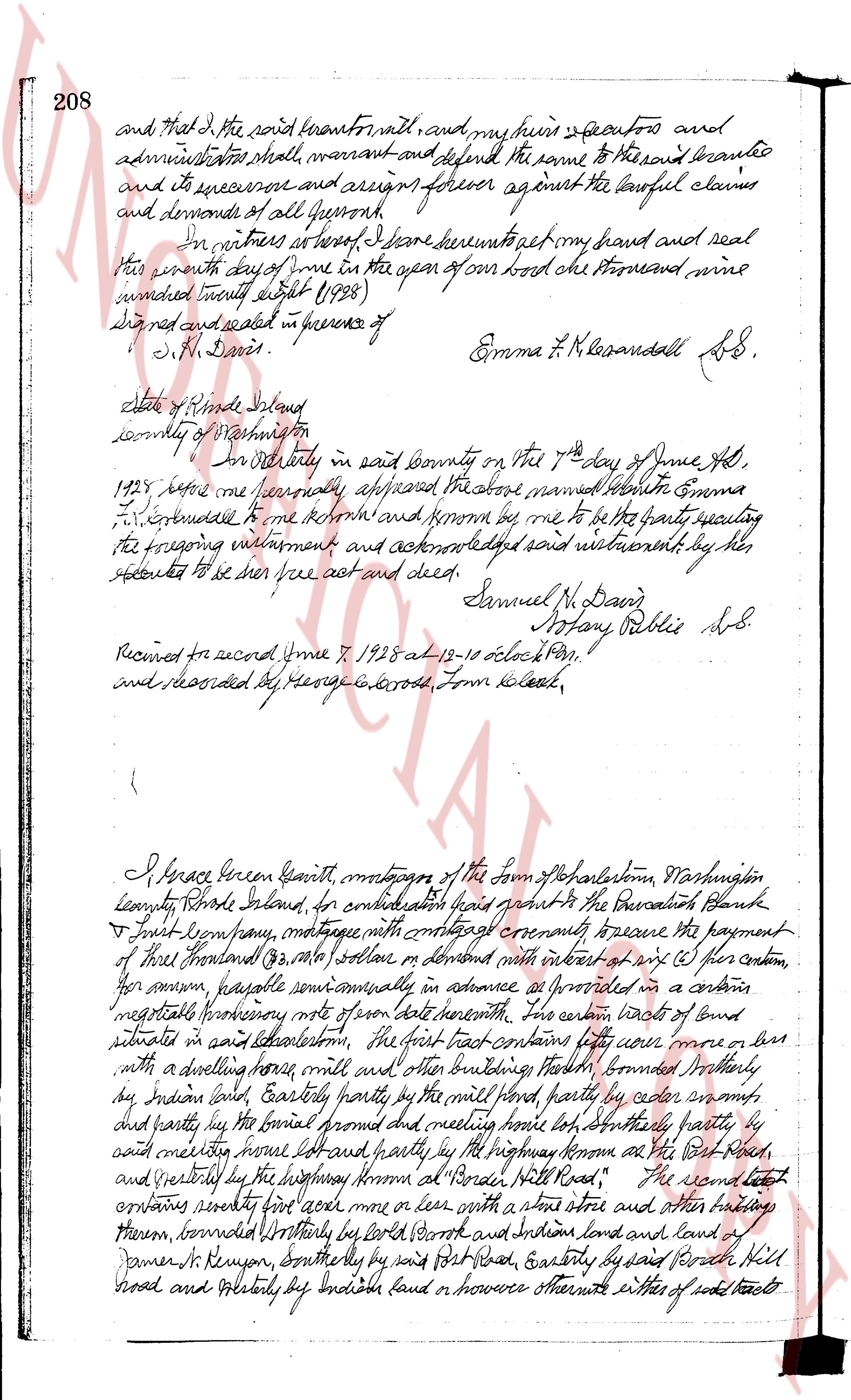
N 52 3/4° W twenty five and 1/10 rods (25.10) rods; thence N 48 3/4° W forty seven (47)
rods to the end of a wall; thence N 32 3/4° W forty six and 1/10 (46.10) rods; thence
S 87 1/2° E, southw and 29/100 (29.00) rods; thence N 12 1/4° E nineteen (19) rods; thence
N 66 1/2° W thirty six (36) rods (36.00) rods; thence S 57 1/2° E twenty four (24) rods; thence
S 37 3/4° E,
forty five and 1/10 (45.10) rods; thence N 7 1/2° W twenty one and 29/100 (21.29) rods; thence
S 20 3/4° E fourteen (14) rods; thence N 66 1/2° E forty six (46) rods to the corner of the
said house; thence S 27 1/2° E forty seven and 1/10 (47.10) rods to land formerly owned by
Charles R. Incher and Edward Edwards; thence N 38 1/2° W eight and 1/10 (8.10)
rods to a stake at stones; thence S 28 3/4° W twenty four and 1/10 (24.10) rods; thence
to the line of said Incher and Edwards marked by a stake at stones; thence S
74 1/2° E fourteen and 19/100 (14.19) rods to a heap of stones on a large rock; thence S
65 1/2° E seventy and 1/10 (70.10) rods to the place of beginning, containing about
ninety (90) acres and one hundreded fraction (1/100) rod more or less, said
tract is bounded easterly by the highway, southerly by land formerly of
James H. Legrand, westerly by nearby and northerly by land formerly of the
Western Allen heirs and land formerly of Kenneth R. Incher et al and
a lot conveyed by deed of Charles R. Incher et al to Joseph Simmons
and is in the said tract conveyed by deed of Sarah B. Incher et al to James
H. Legrand dated April 14, 1867 and recorded in said records in Book 8
at page 416. Also that lot of land with all buildings and improvements
thereon, situated in said town of Charlestown, containing by estimation
one hundreded fraction and 1/10 (100.10) acres, more or less, land bounded
and described as follows: Beginning at the Southeast corner of land
formerly of Daniel Edwards; thence by said Edwards land to land
formerly of Abraham Allen; thence by said Allen land to land formerly
of William Norton thence to the highway; thence on the highway till
it comes to land formerly of Frederick own land; thence on said duries land
till it comes to land that Edward Wiley and of Thomas Lennon; thence
on said Wiley's land till it comes to the first mentioned point, being
the same premises conveyed by deed of Allen Harrison J. to Abraham
Allen dated November 4, 1819 and recorded in said records in
Book 5 at page 424.
To have and to hold the aforesaid granted
premises, with all the privileges and appurtenances thereunto
belonging unto and to the use of the said Legrand and its successors
and assigns forever in fee simple. And the said Legrand do
hereby warrant and for any heirs, executors and administrators
covenant with the said Legrand and its successors and assigns
that it has lawfully seized in fee simple of the said granted
premises; that the same are free from all incumbrances, that I
have right full power and lawful authority to sell and convey
the same in manner as aforesaid that the said Legrand and its
successors and assigns shall by these presents at all times
hereafter peacefully and quietly have and enjoy the said premises.
page 3
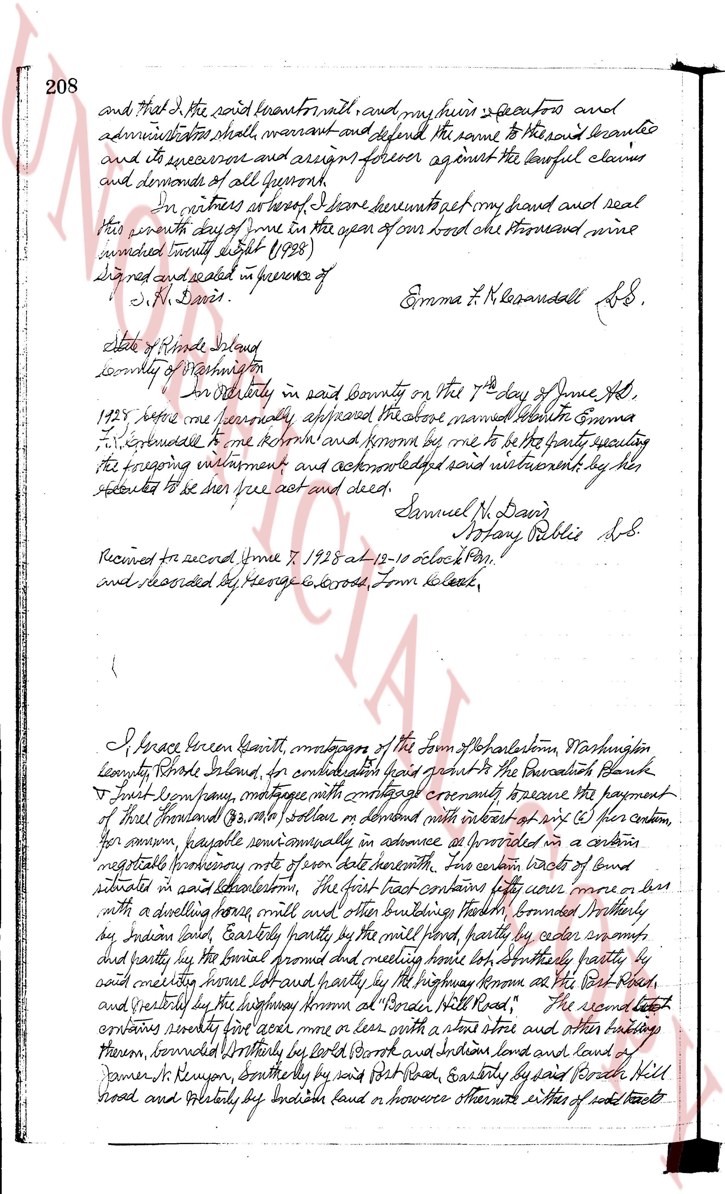
208 and that I, the said grantor first named, and my heirs executors and
administrators shall, warrant and defend the same to the said grantee
and its successors and assigns forever against the lawful claims
and demands of all persons.
In witness whereof, I have hereunto set my hand and seal
this seventh day of June in the year of our Lord one thousand nine
hundred twenty eight (1928)
Signed sealed and delivered in presence of
J. M. Davis. Emma F. K. Lesandall SS.
State of Rhode Island
county of Providence
ss.
On this day in said County on the 7th day of June AD,
1928 before me personally appeared the above named Emma
F. K. Lesandall to me known and known by me to be the party executing
the foregoing instrument and acknowledged said instrument by her
signature to be her free act and deed. Samuel M. Davis
Notary Public LS.
Recorded for record June 7, 1928 at 12-10 o'clock PM.
and recorded by George E. Cross, Town Clerk.
I, Percival Green Grant, citizen, resident of the town of Charlestown, Washington
County, State Island, for consideration paid grant to the Providence Bank
& Trust Company, mortgage with covenant warranty to secure the payment
of three thousand (3,000) dollars with interest at six (%) per annum,
per annum, payable semi annually in advance as provided in a certain
negotiable promissory note of present date herewith, this certain tracts of land
situate in said Charlestown, the first tract contains sixty acres more or less
with a dwelling house, mill and other buildings thereon, bounded westerly
by Indian land, easterly partly by the mill land, partly by cedar swamp,
and partly by the house promised and milling house lot, southerly partly by
said cedar swamp, house lot and partly by the highway known as the Old Post
Road, and northerly by the highway known as "Board Hill Road," The second tract
contains seventy first acres more or less with a store store and other buildings
thereon, bounded westerly by Lord's Brook and Indian lands and land of
Palmer R. Kenyon, southerly by said Post Road, easterly by said Board Hill
Road and northerly by Indian land or however otherwise either of said tracts to
The page as recorded