The instrument's own words
page 1
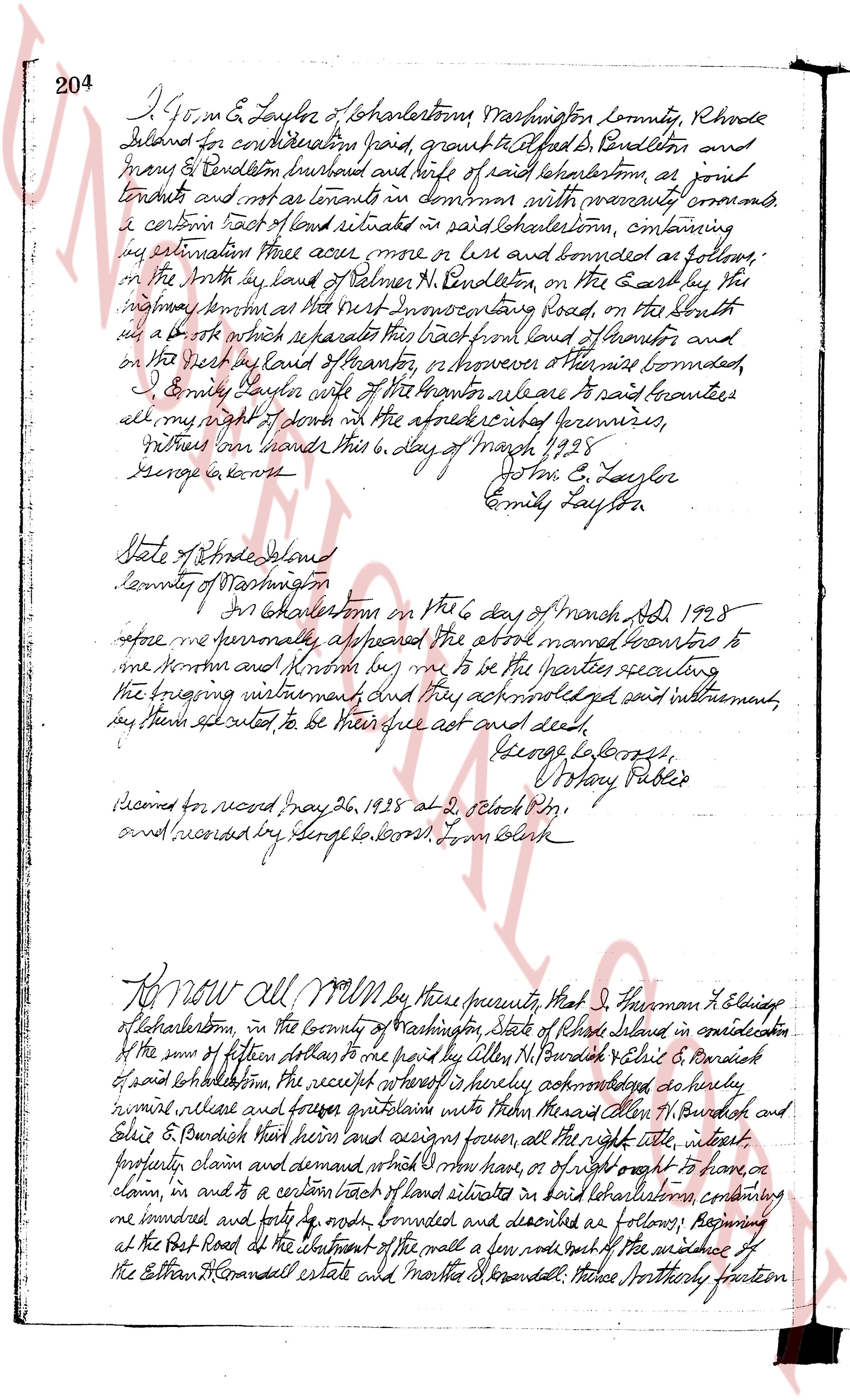
204 I Jo a m E Laylor of Charlestown Washington county Rhode
Island for considerations paid grant & let fed b Pendleton and
Mary E Pendleton husband and wife of said Charlestown as joint
tenants and not as tenants in common with warranty covenants convey
a certain tract of land situated in said Charlestown containing
my estimation three acres more or less and bounded as follows:
on the North by land of Nelmes N Pendleton on the East by the
highway known as the West 도로 connecting Road on the South
with a brook which separates this tract from land of Lavor and
on the West by land of Lavor or whoever owners there bounded
I Emily Laylor wife of the Grantor release to said boundaries
all my right of dower in the aforesaid described premises
Witness our hands this 6 day of March 1928
George A Coons Jo a m E Laylor
Emily Laylor
State of Rhode Island
County of Washington
In Charlestown on the 6 day of March AD 1928
before me personally appeared the above named Grantors to
me known and known by me to be the parties executing
the foregoing instrument and they acknowledged said instrument
my hand sealed to be their free act and deed
George L Coons
Notary Public
Recorded for record May 26, 1928 at 2 oclock PM
and recorded by George L Coons Tom Clerk
KNOW ALL MEN by these presents that I Herman L Elsinger
of Charlestown in the county of Washington State of Rhode Island in consideration
of the sum of fifteen dollars to me paid by Allen N Burdish & Elsie B Burdish
of said Charlestown the receipt hereof is hereby acknowledged do hereby
remise release and forever quitclaim unto said Allen N Burdish and
Elsie B Burdish their heirs and assigns forever all the right title interest
property claim and demand what More now have or of right ought to have or
claim in and to a certain tract of land situated in said Charlestown containing
one hundred and forty 4 rods bounded and described as follows: Beginning
at the West Road at the abutment of the wall a few rods south of the evidence of
the Ethan H Conandell estate and Martha H Conandell these northerly portion
page 2
96
This instrument duly acknowledged this 16th day of December AD 1926
Signed and sealed in the presence of
[Signature]
[Signature]
Shelter Harbor Corporation
Franklin D. Lawton, Treasurer,
State of New York
ss:
County of New York
On this Sixteenth day of December AD 1926, before me
a Notary Public in and for said State, personally appeared Franklin D. Lawton, to me known and proven to be
the Treasurer of Shelter Harbor Corporation, and he acknowledged
the foregoing instrument as his free individual and official act and deed,
and that it be the act and deed of said corporation.
[Signature]
[Signature]
Henry Public Notary New York County
New York County Clerk No 336
New York County Register No 8313
Recorded in excel schedule 17, 1930 at 4 o'clock P.M. Clerk members office march 20 1935
and entered in volume 10 page 105 from book
KNOW ALL MEN By these Presents, That Shelter Harbor
Corporation, a corporation organized under the laws of the State
of Rhode Island and having its principal office in Narragansett, hereinafter called
the grantor, in consideration of the sum of five hundred ($500.) dollars and
other good and valuable consideration to be paid by Shelter Harbor Country
Club, a corporation licensed organized under the laws of the State of
Rhode Island and pursuing its business in the City and County
of Providence, hereinafter called the grantee, the receipt whereof is hereby
acknowledged, does hereby grant, bargain sell and convey unto the
said grantee and its successors and assigns forever, the following parcels
of land together with all the rights and appurtenances thereunto belonging in realty and
certainly in appurtenances thereto belonging realty in realty and
certainly in appurtenances, Washington County, Rhode Island,
namely:
I. That certain lot no 1 of Lot 1 deed apparent to and just North
of the summit as designated on a map of Final property of Franklin D.
Lawton, bounded on the East by a line parallel and four hundred (400) feet
off the driving lane of the Farm of Realty and Bleakstone, running
from a point where said parallel line intersects said summit in a general
Northerly direction four hundred (400) feet bounded on the South in said summit
and the Minute beacon Hence turning at an angle of approximately
ninety (90) degrees and running in a general Northerly direction
and meeting the boundary marked Midnigal Island on said map a copy
of said map is attached to deed and is by reference made a part of actual
The page as recorded