The instrument's own words
page 1
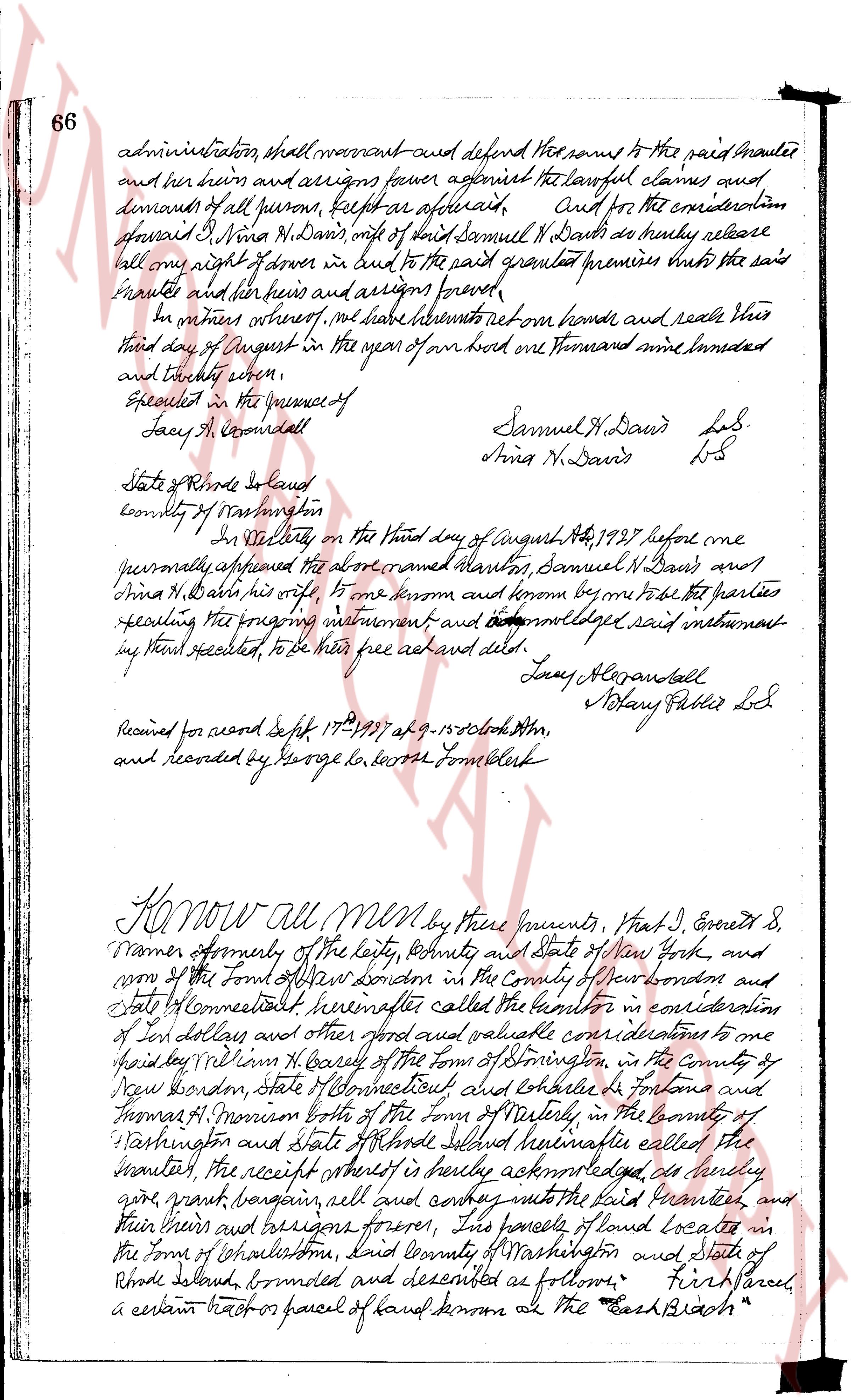
66 administration shall warrant and defend the same to the paid Mauler
and her heirs and assigns forever against all lawful claims and
demands of all persons, except as aforesaid. And for the consideration
aforesaid I Nina N. Davis, wife of said Samuel N. Davis do hereby release
all one right of owner in land to the said granted premises unto the said
Mauler and her heirs and assigns forever.
In witness whereof, i have hereunto set my hand and seal this
third day of August in the year of our lord one thousand nine hundred
and twenty three.
Sealed in the presence of
Lacy A. Cromwell
Samuel N. Davis L.S.
Nina N. Davis L.S.
State of Rhode Island
County of Washington
In Westerly, on the third day of August, AD 1923 before me
personally appeared the above named parties, Samuel N. Davis and
Nina H. Davis, his wife, to me known and known by me to be the parties
executing the foregoing instrument and acknowledged said instrument
to have executed, to be their free act and deed.
Lacy Alvonsall
Mary Fuller L.S.
Received for record Sept 17th 1923 at 9.15 o'clock AM,
and recorded by George Lo. Moore Town Clerk
Know all men by these presents, that I, Everett S.
Warner formerly of the city, county and state of New York and
now of the Town of New London in the County of New London and
State Connecticut called herein after the grantor in consideration
of ten dollars and other good and valuable considerations to me
paid by William R. Bailey of the Town of Sterling, in the county of
New London, State Connecticut and Chelsea G. Forland and
Thomas M. Morrison both of the Town of Westerly, in the county of
Washington and State of Rhode Island called hereinafter the
grantee, the receipt whereof is hereby acknowledged do hereby
give, grant, bargain, sell and convey unto the said Grantee and
their heirs and assigns forever, this parcel of land located in
the Town of Charlestown, said County of Washington and State of
Rhode Island, bounded and described as follows: "First parcel,
a certain tract or parcel of land known as the East Branch"
page 2
relinquished a little Part of the hamlet at Bronsenburg in sand plains of Shrub
land containing fifteen (15) acres more or less and bounded as follows: Northing
on the "Salt Pond" as called, Eastly on land formerly of Billings D.
Macomber and now of Edward M. Fillmore, Southly on the Atlantic Ocean,
and Westly on other land formerly of said Macomber and now of Samuel
H. Davis; as shown on a plat of land belonging to Dr S. B. & Samuel reliquished
in location No 30 scale 60 ft to an inch Aug 1969, Earl G. White, Surveyor"
which plat is to be recorded in the Town Clerk's office at Charlestown, R.I.
and is hereby referred to and made a part hereof, Being the same
tract of land that was conveyed to the grantor herein by Oliver W. Millington
commissioners, by his deed dated August 20, 1792 and recorded in
the said Book of Deeds of the town of Charlestown, Book 17, at page 345 etc.
Second Parcel, a certain lot or parcel of mixed land containing by
estimation ten (10) acres more or less and bounded as follows: On the North
by land of Eliz Beth Simpson on the East by a dirtway, on the South
by land of Samuel Bailey and on the West by a highway known
as the "Wendover Road" Being the same tract of land that was
conveyed to the grantor by Amos J. Stetson by his deed dated August
25 AD 1883 and recorded in said Record of said town of Charlestown,
Book 1874 page 474. To have and to hold, the aforesaid
premises, with all the rights privileges appurtenances hereditaments
belonging unto and to the use of the said grantees and their heirs
and assigns forever. And the said grantor, do hereby for
myself and my heirs executors and administrators, covenant
with the said grantees and their heirs and assigns That I am
lawfully seized in fee simple of the said granted premises; That
the same has been free from all incumbrance. That I have good right
full power and lawful authority to sell and convey the same in
manner aforesaid. That the said grantees and their heirs and
assigns shall by these presents at all times hereafter peaceably and
quietly have and enjoy the said premises, and That I, the said
Grantor will and shall my heirs executors and administrators, shall
warrant and defend the same to the said grantees and their heirs
and assigns against the lawful claims and demands of
all persons. And for the consideration aforesaid I, Emma A.
Warner wife of said Ernest S. Warner do hereby release all my right
of dower in and to the said granted premises unto the said grantees
and their heirs and assigns found.
In witness whereof, we have hereunto set our hands and seals this
10th day of September in the year of our lord one thousand and twenty four.
Sealed in the presence of
Hosea Wharton
Henry Harris
Ernest S. Warner L.S.
Emma A. Warner L.S.
page 3
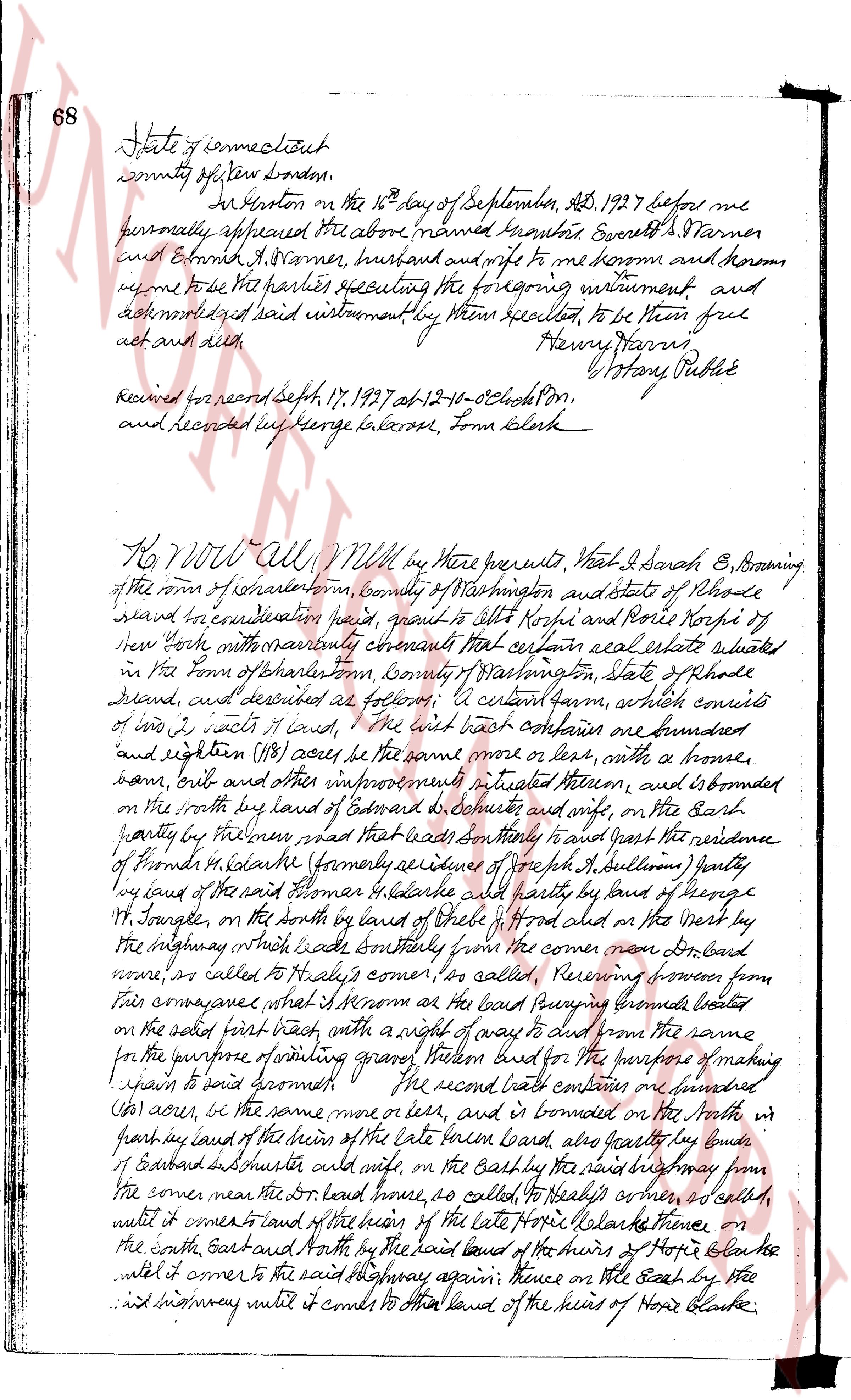
68 State of Connecticut
county of New London.
At New London on the 16th day of September, A.D. 1927 before me
personally appeared the above named named Norbert E. Farmer
and Erminda R. Farmer, husband and wife to me known and known
by me to be the parties executing the foregoing instrument, and
acknowledged said instrument by them sealed, to be their free
act and deed.
Henry Harris,
Notary Public
Received for record Sept 17, 1927 at 12-10-06 o'clock p.m.
and recorded by George Balzaruk, Town Clerk
KNOW ALL MEN by these presents, that I Sarah E. Browning
of the town of Charlestown, County of Washington and state of Rhode
Island for consideration paid, grant to Elbert Horpie and Doris Horpie heirs of
their body with warranty conveying that certain real estate situated
in the town of Charlestown, County of Washington, State of Rhode
Island, and described as follows: A certain farm, which consists
of two, i.e. two tracts of land, the first tract comprises one hundred
and eighteen (118) acres be the same more or less, with a house,
barn, crib and other improvements situated thereon, and is bounded
on the north by land of Edward G. DeButte and wife, on the East
partly by Mill river which leads southeasterly to reach the residence
of Horpie in Charlestown (formerly known as J.P. Sullivan) partly
by land of the said Farmer E. Holarks and partly by land of George
H. Soule, on the south by land of State of Rhode Island on the West by
the highway which leads southeasterly from the corner near the Board
house, or called to Holarks corner, for called, reserving from this
conveyance that part of the road passing through the forest
on the said first tract, with a right of way to and from the same
for the purpose of producing gravel, stones and dirt for the purpose of making
paving to said boardwalk. The second tract comprises one hundred
and four acres, be the same more or less, and is bounded on the North w
ith partly by land of the heirs of the late baton Horlak, also partly by land of
E Edward DeButte and wife, on the east by the said highway from
the corner near the Board house, so called, to Holarks corner, as aforesaid,
until it enter corner to land of the heirs of the late Horpie Holarks thence
on the south East and South by the said land of the heirs of Horpie Holarks thence
until it enter corner to the said highway again thence on the East by the
said highway until it comes to the land of the heirs of Horpie Holarks
The page as recorded