The instrument's own words
page 1
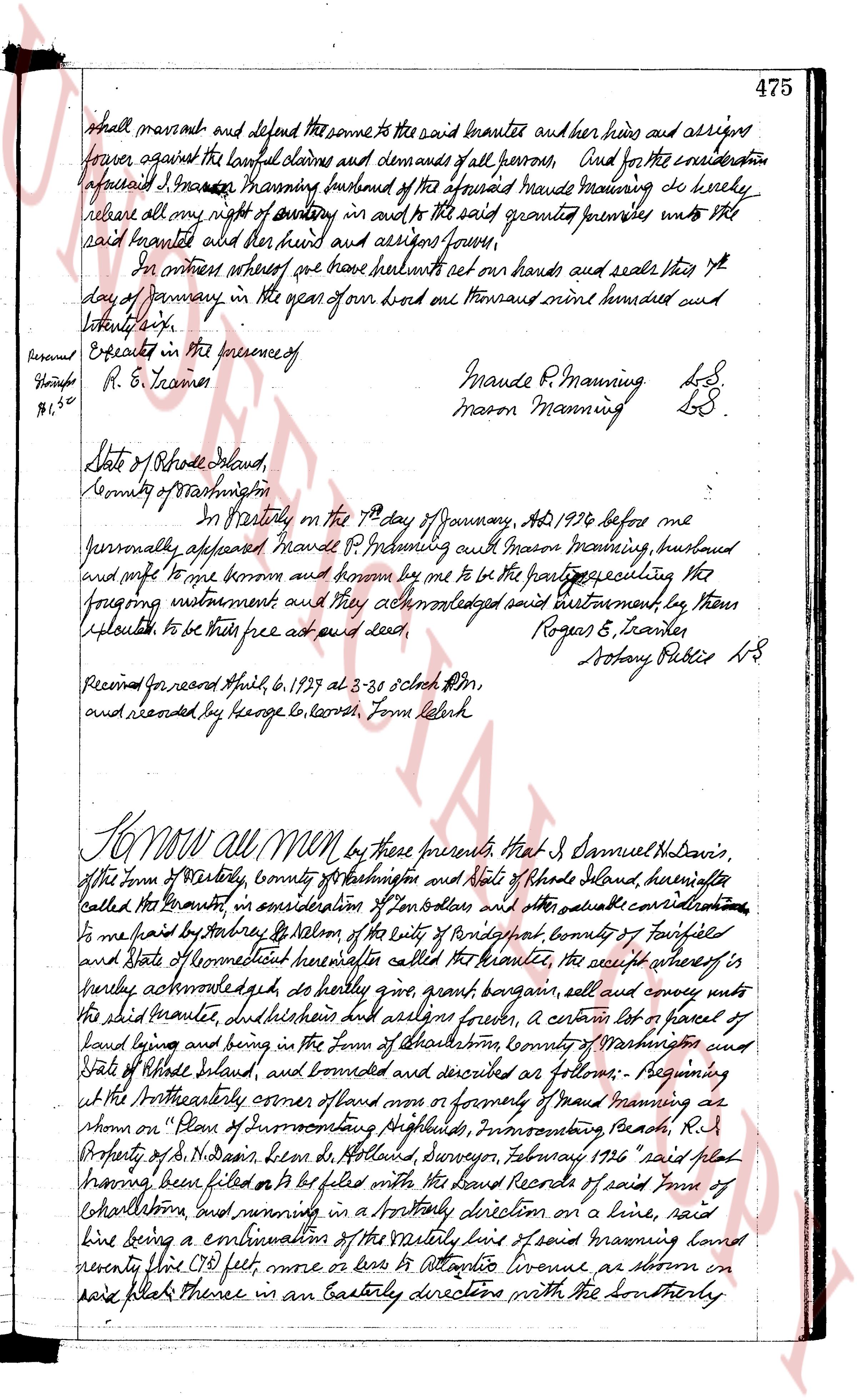
shall warrant and defend the same to the said Granette and her heirs and assigns
forever against the lawful claims and demands of all persons. And for the consideration
aforesaid I, Mason Manning husband of the aforesaid Maude Manning do hereby
release all my right of dower in and to the said granted premises unto the
said Granette and her heirs and assigns forever.
In witness whereof we have hereunto set our hands and seals this 7th
day of January in the year of our Lord one thousand nine hundred and
twenty six.
Executed in the presence of
R. E. Trautes
Maude R. Manning LS
Mason Manning LS
State of Rhode Island,
County of Washington
On pertestly on the 7th day of January, AD 1926 before me
personally appeared Maude R. Manning with Mason Manning, husband
and wife to me known and known by me to be the parties executing the
foregoing instrument and they acknowledged said instrument by them
executed to be their free act and deed,
Roger E. Trautes
Notary Public LS
Recorded Monday April 6, 1929 at 3.38 oclock PM,
and recorded by George G. Leeds Form Clerk
Know all Men by these presents That I, Samuel H. Davis,
of the Town of Westerly, County of Washington and State of Rhode Island, hereinafter
called the Grantor, in consideration of Ten dollars and other valuable considerations
to me paid by Shirley B. Salmon of the city of Bridgeport county of Fairfield
and State of Connecticut hereinafter called the Grantee, the receipt whereof is
hereby acknowledged do hereby grant bargain sell and convey unto
the said Grantee and her heirs and assigns forever, a certain lot or parcel of
land lying and being in the Town of Westerly County of Washington and
State of Rhode Island, and bounded and described as follows: Beginning
at the Northwesterly corner of land now or formerly of Maud Manning as
shown on "Plan of Town of Westerly Improvements, Narragansett Beach, R.I.
Property of S. H. Davis, drawn by H. Holladay, Surveyor, February 1926" said plat
having been filed or to be filed with the Land Records of said Town of
Westerly, and running in a Northerly direction on a line, said
line being a continuation of the easterly line of said Manning land
seventy five (75) feet, more or less to Atlantic Avenue as shown on
said plat thence in an Easterly direction with the Southerly
page 2
476
Southerly boundary of said Avenue ninety (90) feet more or less to the Easterly
boundary of a right of way and the Southeasterly corner of lot number four
hundred eighty (480) as shown on said plat; thence in a southerly direction
with the Easterly boundary of said right of way and the easterly boundary of
land now or formerly of Henry D. Phillips and James E. Phillips, as shown
on said plat one hundred ten (110) feet more or less to the Southeasterly
corner of said Maud Manning land; thence in a northerly direction with
the Southerly boundary of said Maud Manning land right eighty (80) feet more
or less to the north and place of beginning or however otherwise bounded and
described; reserving however, the use of said right of way to the said Maud
Manning lot and the said Phillips lot. It is hereby covenanted and
agreed, that the Grantee his heirs and assigns will not erect or permit
to be erected on any part of the herein described premises, any buildings,
except single detached dwelling houses constructed for use and occupancy
of not more than two families, and of a value of not less than seventy five
thousand dollars each with a flat roof for garages. That they
shall not be constructed, or maintained upon said premises
any building for business purposes or any other structures, except
cottages, dwellings and fruit garages. That no business shall be
conducted upon the premises in any way including liquor stores con vey
tured or sold thereon. That on no portion of any building plot
included, can be erected or maintained within twenty feet (20)
feet of the avenue, street or road upon which said lot fronts.
That this agreement in all its terms conditions and stipulations
shall bind all parties their heirs, executors, administrators,
successors and assigns. I grant and to hold, the aforesaid
premises with all the rights, privileges and appurtenances
thereunto belonging with and the use of the said boundaries and
his heirs and assigns forever. And I the said Grantor, do hereby
for myself and for my heirs, executors and administrators covenant
with the said Grantee and his heirs and assigns that I am lawfully
seized in fee simple of the said granted premises. That I have some
free from all encumbrances defects as aforesaid. That I have good
and right full power and lawful authority to sell and convey the same
in manner as aforesaid. That the said Grantee and his heirs and
assigns shall by these presents at all times hereafter peaceably and
quietly have and enjoy the said premises, and that I the said
Grantor will, and fore a fide heirs, executors and administrators shall
warrant and defend the same to the said Grantee and his heirs
and assign against the lawful claims and demands of all
persons. And for the administrator aforesaid, I Nora H. Davis,
wife of said Samuel H. Davis do hereby release all my right of
dower in and to the said granted premises unto the said Grantee
page 3
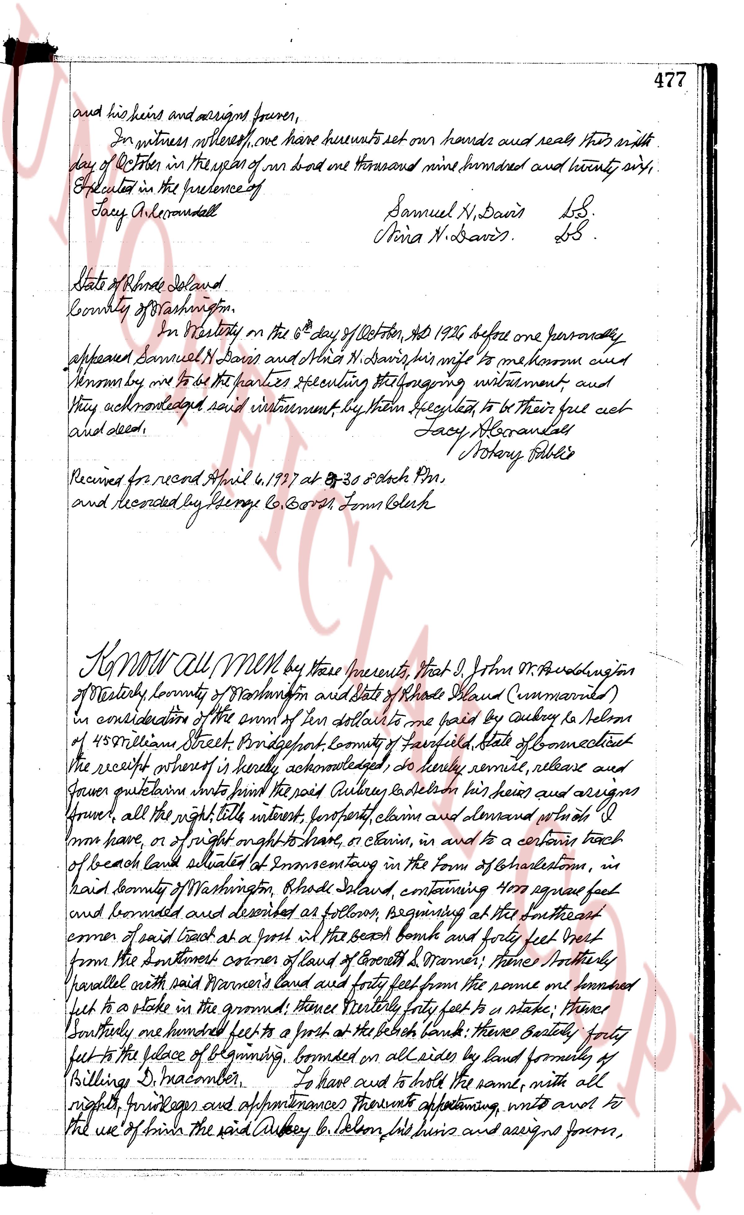
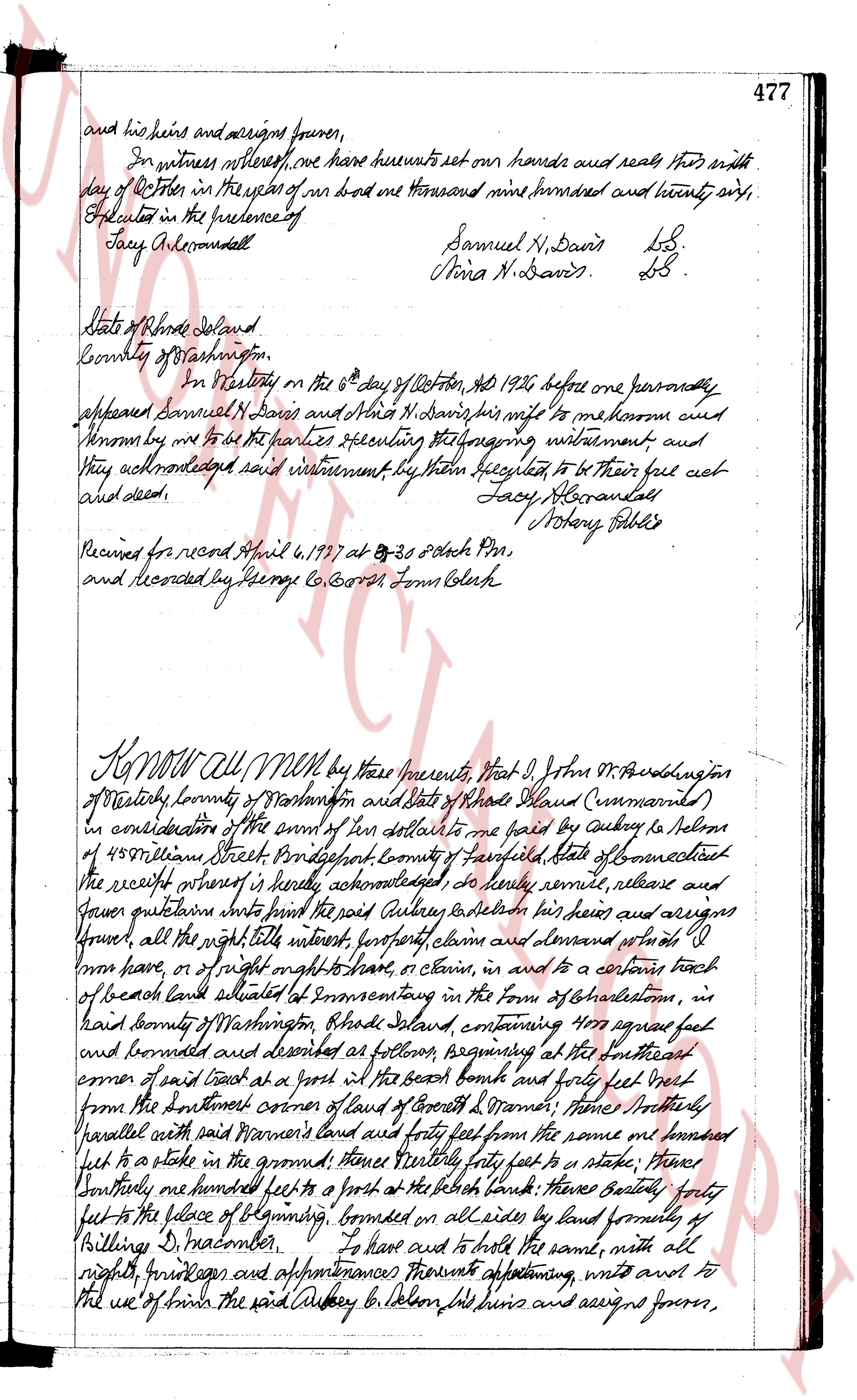
and his heirs and assigns forever,
In witness whereof, we have hereunto set our hands and seals this sixth
day of October in the year of our lord one thousand nine hundred and twenty eight,
Acknowledged in the presence of
Tacy A. Macdonald
Samuel N. Davis LS.
Nina N. Davis LS.
State of Rhode Island
County of Washington
On Wednesday the 6th day of October, No 1928 before me personally
appeared Samuel N. Davis and Nina N. Davis his wife to me known and
known by me to be the parties executing the foregoing instrument and
they acknowledged said instrument by them signed to be their free act
and deed.
Tacy A. Macdonald
Notary Public
Received for record April 4, 1927 at 8-20 o clock PM,
and recorded by George C. Gorton Town Clerk
KNOW ALL MEN by these presents, that I, John M. Woodington
of Westerly town County of Washington and State of Rhode Island (Commonwealth)
in consideration of the sum of ten dollars to me paid by Aubrey B. Nelson
of 450 Coleman Street Providence town County of Providence State of Connecticut
the receipt whereof is hereby acknowledged do hereby remise, release and
forever quitclaim unto the said Aubrey B. Nelson his heirs and assigns
forever, all the right title interest property claims and demand whatever it
may be, or right of right to have, or claims in, and to a certain tract
of beach land situated at Connecticut in the town of Charlestown, in
said County of Washington Rhode Island, containing 400 square feet
and bounded and described as follows, beginning at the southeast
corner of said tract at a post in the beach four feet and forty feet
from the northeast corner of land of George L. O'Brien; then southeasterly
parallel with said Warner's land and forty feet from the same one hundred
feet to a stake in the ground; thence westerly forty feet to a stake; thence
northerly one hundred feet to a post at the beach; thence southeasterly forty
feet to the place of beginning, bounded on all sides by land formerly of
Killings D. Macomber. To have and to hold the same, with all
rights, privileges and appurtenances thereunto appertaining, unto and to
the use of the said Aubrey B. Nelson his heirs and assigns forever,
The page as recorded