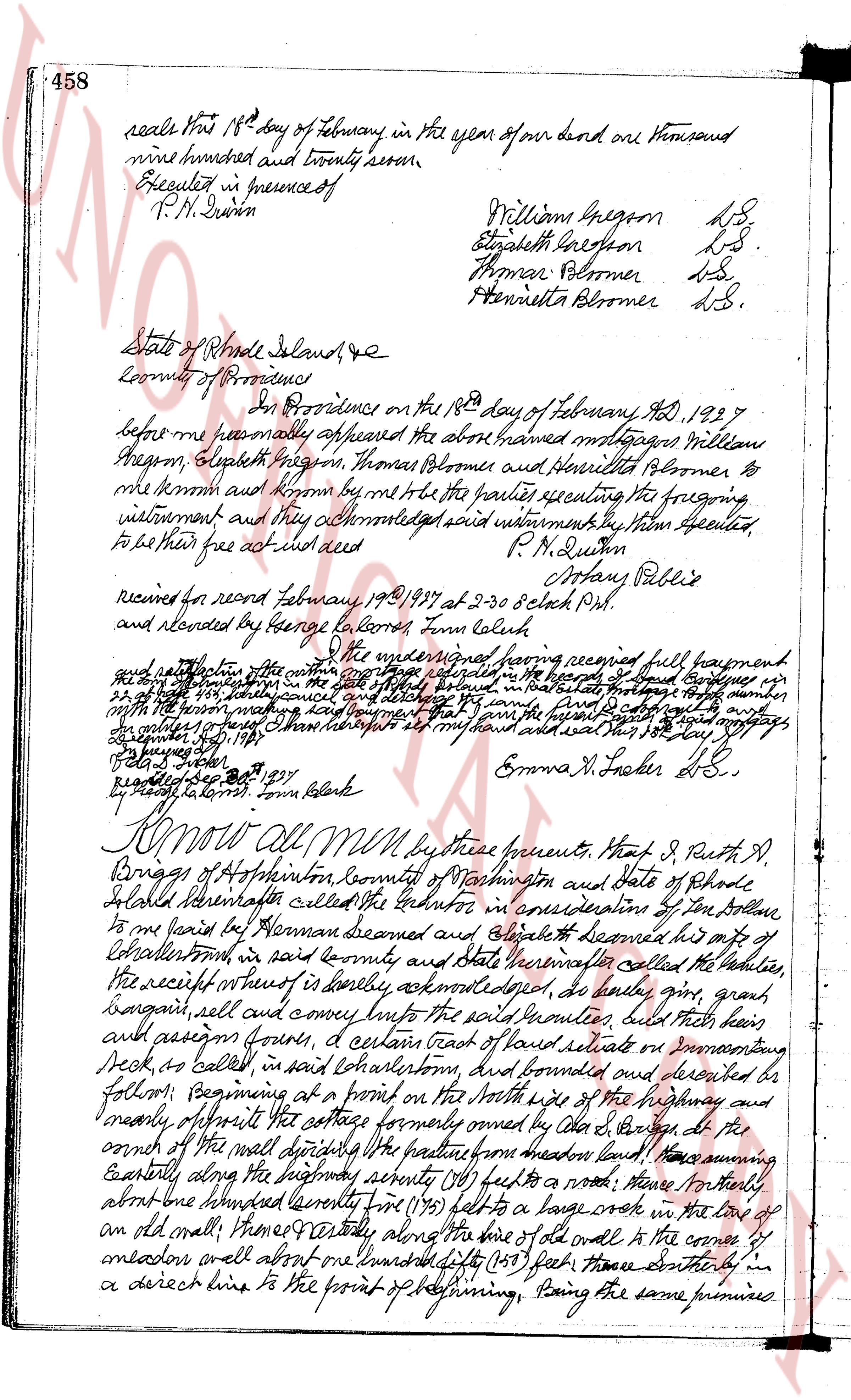
The instrument's own words
page 1
458
sealed this 18th day of February in the year of our Lord one thousand
nine hundred and twenty seven.
Executed in presence of
P. M. Dewin
Williams Gregson DS.
Elizabeth Gregson DS.
Thomas Blomer DS.
Henrietta Blomer DS.
State of Rhode Island,
County of Providence
In Providence on the 18th day of February AD 1927
before me personally appeared the above named mortgagors Williams
Gregson, Elizabeth Gregson, Thomas Blomer and Henrietta Blomer to
me known and known by me to be the parties sealing the foregoing
instrument and they acknowledged said instrument to be executed
to be their free act and deed
P. M. Dewin
Notary Public
received for record february 19th 1927 at 2-30 o'clock P.M.
and recorded by George Colburn Town Clerk
The undersigned having received full payment
and satisfaction of the mortgage dated February 18th 1927 and recorded in the land evidence book 458 page 458
of the town of Charlestown in the said county and state the mortgage dated
February 18th 1927 is hereby cancelled and a release of the same is hereby made
the mortgage being paid in full together with interest and the said mortgage
is hereby released. I have hereunto set my hand and seal this 18th day of May 1929.
(Signed) Ruth A. Briggs
Emma R. Loder DS.
recorded march 1st 1929
by George Colburn town clerk
Know all Men by these presents, That I, Ruth A.
Briggs of Hopkinton, County of Washington and State of Rhode
Island hereinafter called the Grantor in consideration of the sum of dollar
one to me paid by Thomas Blomer and Elizabeth known bis wife of
Charlestown in said county and State hereinafter called the Grantee,
the receipt whereof is hereby acknowledged, do hereby give, grant,
bargain, sell and convey unto the said Grantee, full right then
and assign forever, a certain tract of land situate or lying in
said Charlestown, as called in said Charlestown, and bounded and described as
follows: Beginning at a point on the South side of the highway and
northerly of property formerly owned by Ola S. Burgess at the
corner of the wall dividing the pasture from meadow land; thence easterly
along the boundary approximately (one hundred) feet to a road; thence northerly
about one hundred seventy five (175) feet to a large rock in the line of
an old wall; thence easterly along the line of said wall to the corner of
meadow and street about one hundred fifty (150) feet; thence southerly in
a direct line to the point of beginning, Being the same premises
The page as recorded