The instrument's own words
page 1
by thorough or under me, the said George H. Hopie, the said lot is now free of all
incumbrances excepting a mortgage to Anne H. Hopie for Twenty Three Hundred
($2300) dollars.
In testimony whereof I have hereunto set my hand and seal this
twenty second day of May in the year of our lord one thousand nine hundred and
twenty six (1926)
Signed and sealed in the presence of
George H. Hopie L.S.
John J. Greene
State of Rhode Island
County of Providence
In Providence on the 22nd day of May A.D. 26 before me
personally appeared, George H. Hopie to me known, and known by
me, to be the party executing the foregoing instrument and the then
acknowledged said instrument to be his free act and
deed.
John J. Greene Notary Public
Received for record May 26, 1926 at 8-20 o'clock pm
and recorded by George B. Cross Farm Clerk
Know All Men by these presents, that one, Bethany McJoy
and Alice M. McJoy of Charlestown, County of Washington and State
of Rhode Island called hereinafter the grantors in consideration of Ten
dollars to me paidly, Katherine P. Patton wife of George H. Patton of
Hopkinton in said County and State henceforth called the grantee, the
receipt whereof is hereby acknowledged, has granted bargains,
sell and convey with the said premises, and bell their right around houses
a certain tract of fencing land situate in said Charlestown, bounded
and described as follows: beginning at the Southwestern corner of said tract
and at the Northwest corner of land of Isaac Wickon at the sea; thence
Northwesterly bounding Northeastly by said salt meadow to land of Samuel Reed;
thence Southeasterly bounding Northwestly by land of said Reed one hundred feet;
thence Southeasterly bounding Northwesterly by land of said Reed to the highway;
thence Southeasterly bounding Northwesterly by said highway to land cowl of Emma
H. Hopie; thence Southeasterly bounding Northwesterly by land of said Hopie to the sea;
thence Easterly bounding Northeasterly by the tide water more or less to
the place of beginning. Also a certain tract of similar land situated in
said Charlestown, containing one half acre more or less, bounded as
follows: beginning at the Southwest corner of said tract at Charlestown
page 2
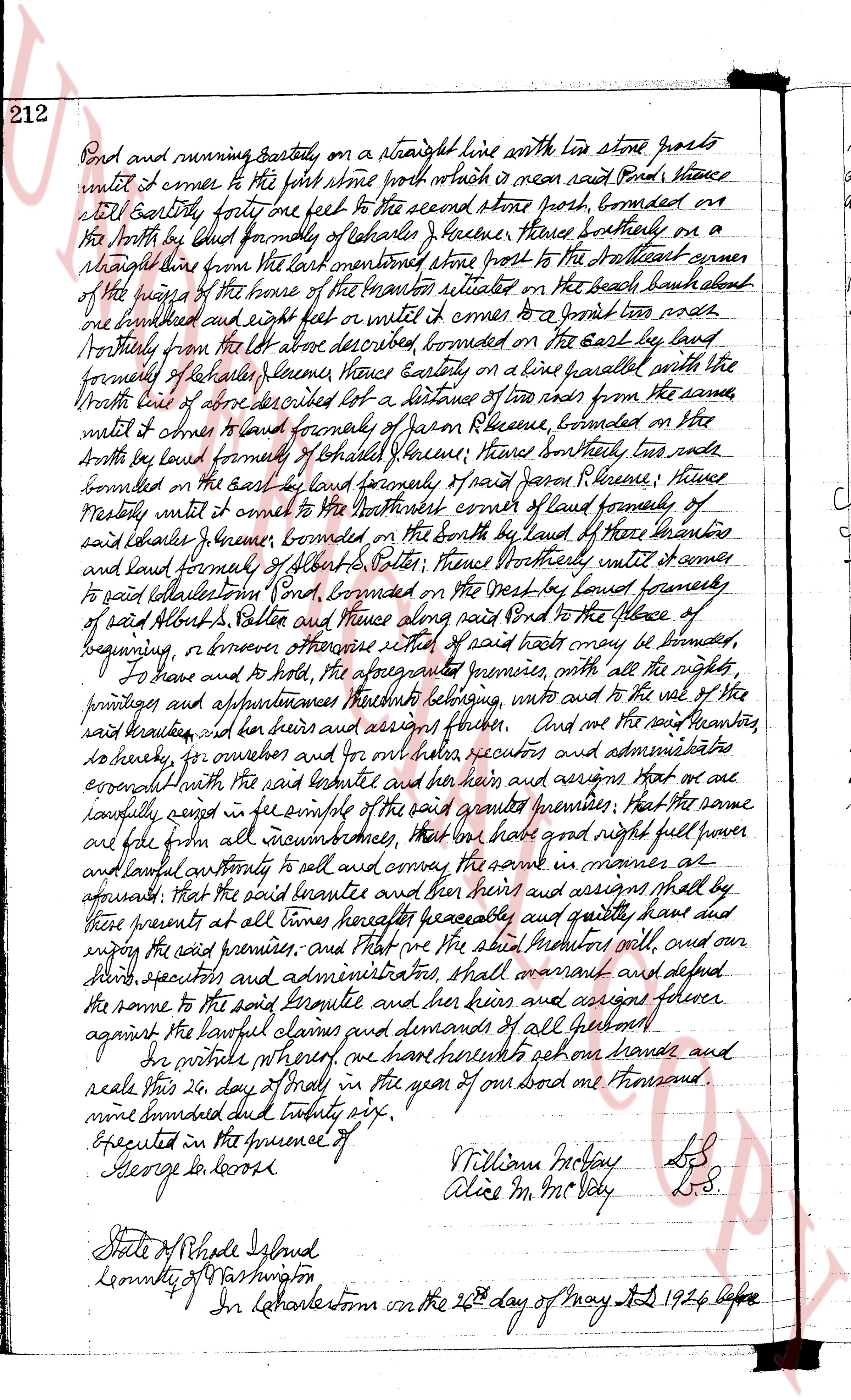
212
Bound and running easterly, on a straight line with the line stone posts
until it comes to the first stone post which is near said Pond, thence
still Easterly forty one feet to the second stone post, bounded on
the North by land formerly of Ishmael Greene, thence Southerly on a
straight line from the last mentioned stone post to the Southeast corner
of the highes of the home of the tavern situated on the beach about
one hundred and eight feet or until it comes to a grant line and
Southerly from the lot above described bounded on the east by land
formerly of Ishmael Greene Easterly on a line parallel with the
North line of above described lot a distance of ten rods from the same
until it comes to land formerly of Jason Greene, bounded on the
North by land formed of Ishmael Greene, thence Southerly ten rods
bounded on the east by land formerly of said Jason Greene, thence
Westerly until it comes to the Northeast corner of land formerly of
said Ishmael Greene, bounded on the North by land of these Three estates
and land formed of Albert S. Potter, thence Northerly until it comes
to said Albert S. Potter, bounded on the West by land formerly
of said Albert S. Potter and thence along said Pond to the place of
beginning, or however otherwise cited of said tract may be bounded,
To have and to hold, the aforementioned premises with all the rights,
privileges and appurtenances thereto belonging, unto and to the use of the
said buyer and for his heirs and assigns forever. And me the grantor
do hereby, for ourselves and for our heirs executors and administrators
covenant with the said grantee and their heirs and assigns that on and
carefully except in fee simple of the said granted premises that the same
are free from all incumbrances, that we have right full power
and lawful authority to sell and convey the same in manner as
aforesaid; that the said grantee and their heirs and assigns shall by
these presents at all times hereafter peacefully and quietly have and
enjoy the said premises, and that we the said grantors will and our
heirs, executors and administrators shall warrant and defend
the same to the said grantee and their heirs and assigns forever
against the lawful claims and demands of all persons what so ever.
In witness whereof, I have hereunto set my hand and
seal this 20 day of May in the year of our lord one thousand
nine hundred and twenty six.
Executed in the presence of William McKay L.S.
George Inwood Alice M. McVey L.S.
State of Rhode Island
County of Washington
In North Kingstown on the 26th day of May A.D 1926 before
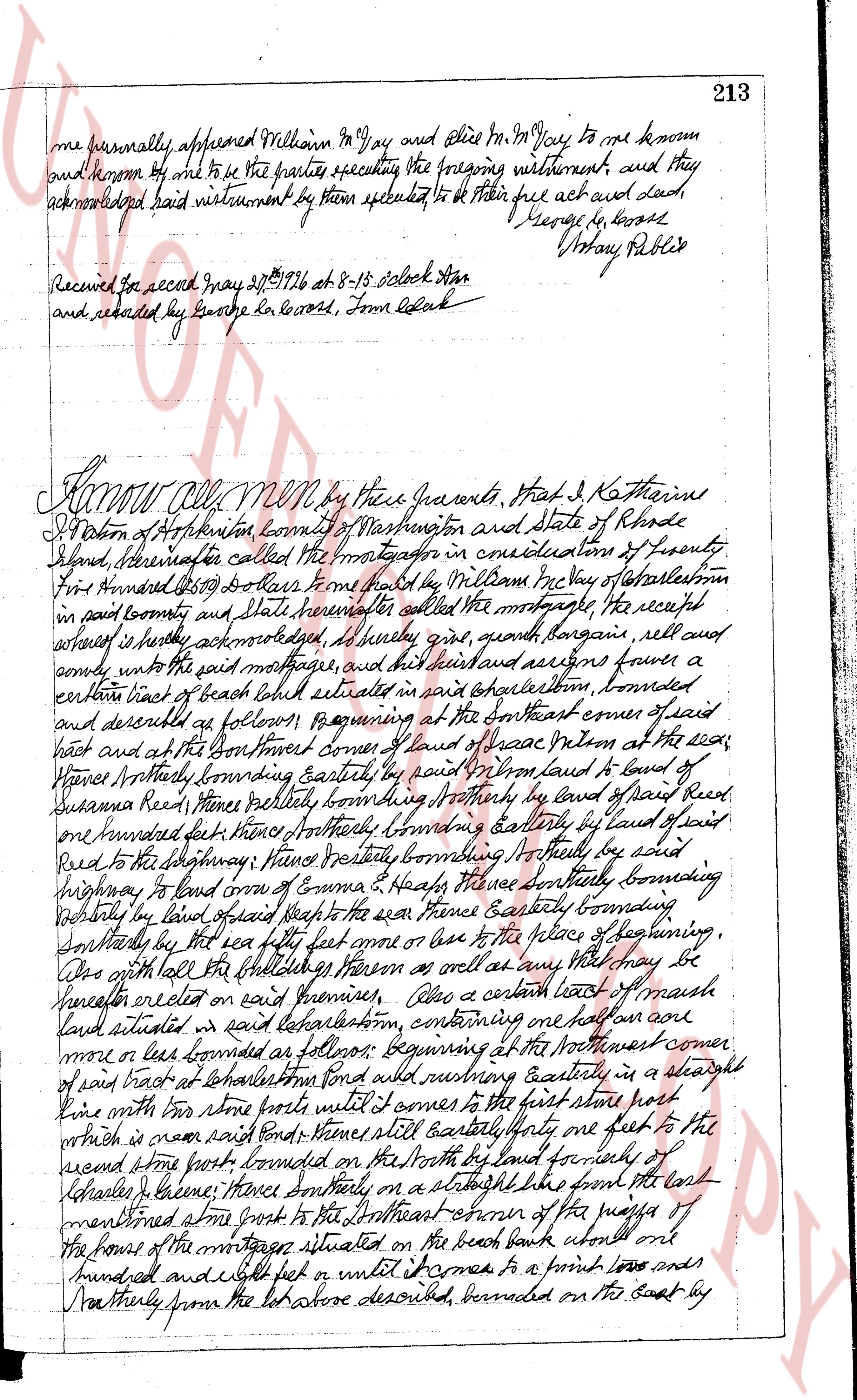
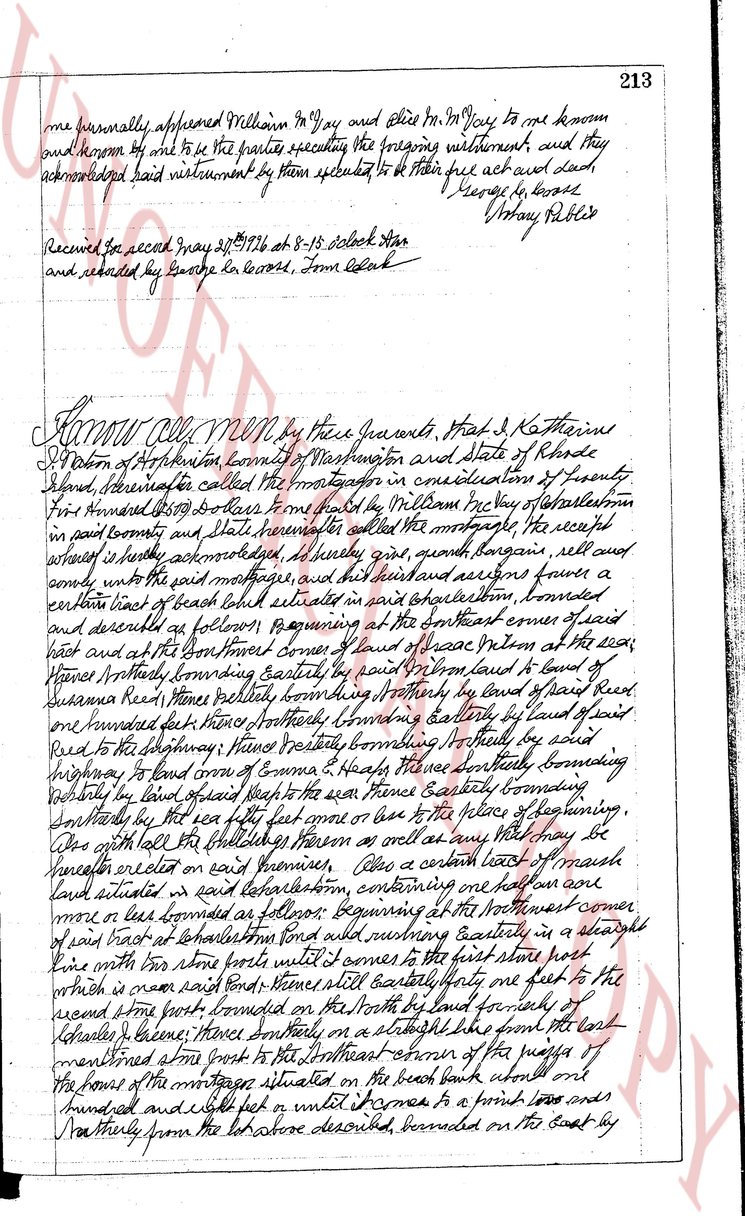
page 3
213
one personally appeared William M^y Day and Alice M^y Day to me declared
and sworn off and to be the parties executing the foregoing instrument, and they
acknowledged said instrument by them executed to be their free act and deed
George Le Boss
Mary Public
Received for record May 28^th 1726 at 8-15 oclock Star
and recorded by George Le Boss, Town Clerk
Know all Men by these presents, that I Katharine
S[?]on of Hopkinton, county of Washington and state of Rhode
Island hereinafter called the mortgagor in consideration of twenty
five hundred 2500 dollars from paid by William McVay of Charlestown
in said county and state hereinafter called the mortgagee the receipt
whereof is hereby acknowledged all my guns, longguns, rifles and cows
only unto the said mortgagee and his heirs and assigns forever a
certain tract of beach land situated in said Charlestown, bounded
and described as follows beginning at the southeast corner of said
lot and at the southeast corner of land of Isaac Milton at the sea;
thence Northerly bounding easterly by paid Milton's land to land of
Susannah Reed thence easterly bounding northerly by land of said Reed
one hundred feet thence northerly bounding easterly by land of said
Reed to the highway thence westerly bounding northerly by said
highway to land corn of Emma [?] hence southerly bounding
westerly by land corn of Emma [?] hence southerly bounding
westerly by land corn of Isaac Milton at the sea thence easterly bounding
southerly by the sea eighty five feet more or less to the place of beginning.
Or with all the buildings thereon as well as any other what so ever be
hereafter erected on said premises Also a certain tract of beach
land situated in said Charlestown containing one half an acre
more or less bounded as follows beginning at the northwest corner
of said tract at Charlestown pond and running easterly in a straight
line with two stone posts until it comes to the first stone heap
which is near said pond Thence still easterly one foot to the
second stone post bounded on the North by land formerly of
Deborah [?] hence southerly in a straight line from the land
mentioned stone post to the southeast corner of the piers of
the house of the mortgagee situated on the beach bank about one
hundred and eight feet or until it comes to a point two and
half feet northerly from the lot above described bounded on the East by
The page as recorded