The instrument's own words
page 1
207
said grantee her heirs and assigns an agreement right of way across
land of grantee to the highway, To have and to hold the
same with all rights privileges and appurtenances thereunto
appertaining with and to the use of the said Ion Isabelle Babcock
her heirs and assigns forever. And we the aforementioned Charles
E. & Mary B. Johnson do covenant for ourselves and our heirs executors and
administrators do covenant with the said Ion Isabelle Babcock
her heirs and assigns that we will warrant and defend the aforementioned
premises unto the said Ion Isabelle Babcock her heirs and assigns
forever against all and lawful claims and demands of all persons claiming
by tenure or way whatever.
In testimony whereof one hereunto set our hands and
seals this 13th day of March in the year of our lord one thousand nine
hundred and twenty four.
Signed and sealed in the presence of
George L. Garner Charles E. Johnson L.S.
Mary B. Johnson L.S.
State of Rhode Island
County of Washington
In Charlestown on the 13th day of March A.D. 1924
before me personally appeared Charles E. Johnson and Mary B.
Johnson to me known and known by me to be the parties
executing this foregoing instrument and they acknowledged said
instrument being by them executed to be their free act and deed.
George L. Garner
Notary Public
received for record may 19 at 9-10 o'clock A.M.
and recorded by George L. Garner Town Clerk
Know all men by these presents that I shaller
In Simmons of the County of Providence in the County of Providence
and State of Rhode Island hereinafter called the Grantor for and
in consideration of the sum of one hundred dollars to the paid
by Cornell M. Northrop resident of said city of Providence the receipt
whereof I do hereby acknowledge in hereby grant bargain sell
and convey unto the said Cornell M. Northrop his heirs and
assigns forever those certain tracts or parcels of land
together with all the buildings and other improvements thereon
situate at Watching Hill in the town of Charlestown in the County
page 2
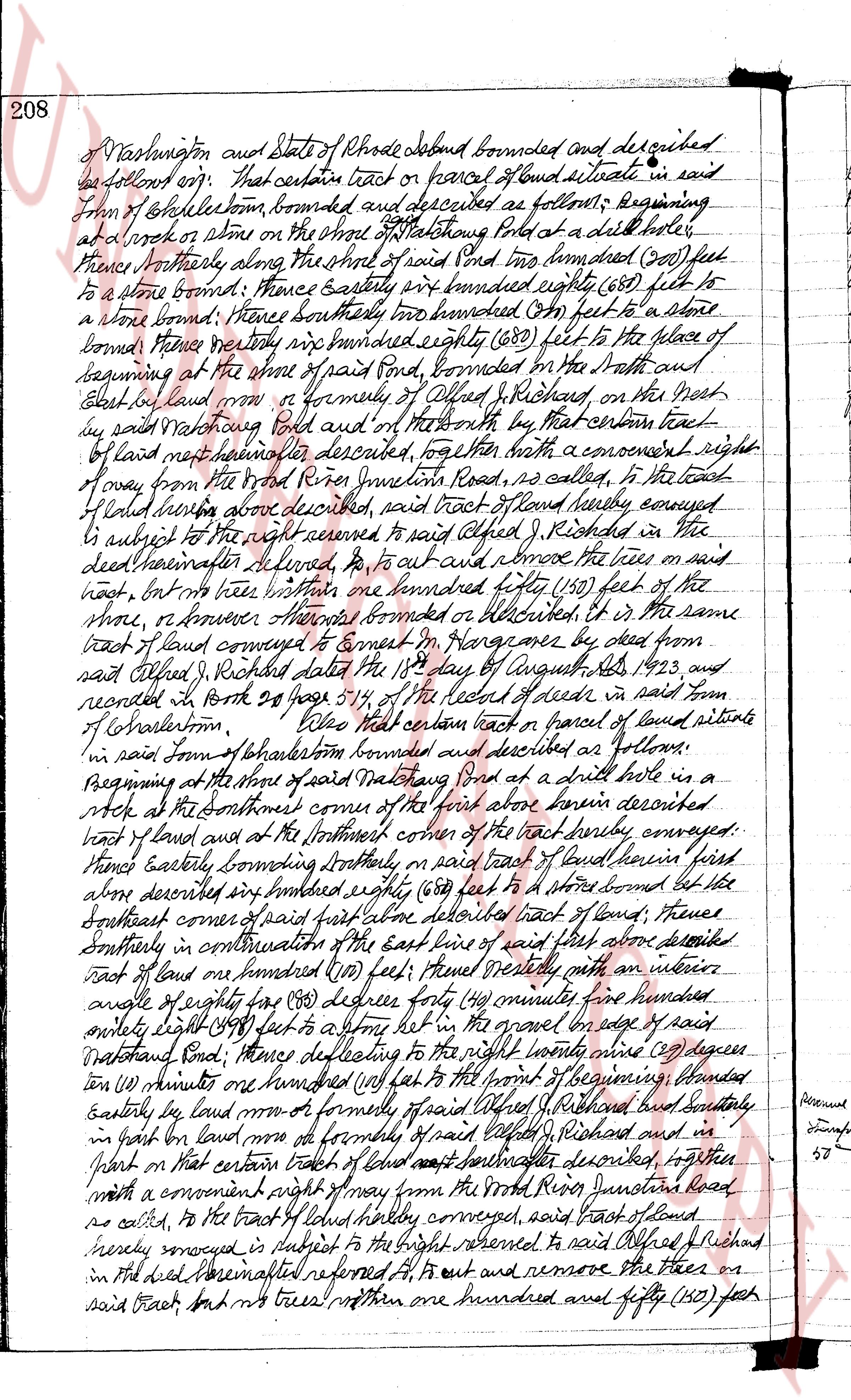
208
of Washington and State of Rhode Island bounded and described
be as follows: viz: that certain tract or parcel of land situate in said
Town of Charlestown, bounded and described as follows: Beginning
at a larch or stone on the shore of Watchoung Pond at a drill hole,
thence Northerly along the shore of said Pond two hundred (200) feet
to a stone bound; thence Easterly one hundred eighty (180) feet to a
stone bound; thence southerly two hundred (200) feet to a stone
bound; thence westerly one hundred eighty (180) feet to the place of
beginning at the shore of said pond, bounded on the North and
East by land now or formerly of Alfred J. Richards, on the West
by said Watchoung Pond and on the North by that certain tract
of land hereinafter described, together with a convenient right
of way from the Wood River Junction road, as called, to the tract
of land herein above described, said tract of land hereby conveyed
is subject to the right reserved to said Alfred J. Richards in the
deed hereinafter referred to, to cut and remove the trees on said
tract, but no trees within one hundred fifty (150) feet of the
shore, however those bounds are described or described. (It is from the
tract of land conveyed to Samuel M. Harrington by deed from
said Alfred J. Richards dated the 18th day of August 1923, and
recorded in Book 24 page 514 of the Record of deeds in said Town
of Charlestown.) Also that certain tract or parcel of land situate
in said Town of Charlestown bounded and described as follows:
Beginning at the shore of said Watchoung Pond at a drill hole in a
rock at the southeaster corner of the first above herein described
tract of land and at the northern corner of the tract hereby conveyed,
thence Easterly crossing straightly in right line of land herein first
above described one hundred eighty (180) feet to a stone bound set line
southeast corner of said first above described tract of land, thence
southerly in continuation of the East line of said first above described
tract of land one hundred (100) feet; thence easterly with an angle
of eighty eight (88) degrees forty (40) minutes five hundred
eighty eight (588) feet to a stone set in the gravel on edge of said
Watchoung Pond; thence declining to the right ninety one (91) degrees
ten (10) minutes one hundred (100) feet to the point of beginning; bounded
Easterly by land now or formerly of said Alfred J. Richards bound easterly
on first by land now or formerly of said Alfred J. Richards and in
part on that certain tract of land hereinafter described, together
with a convenient right of way from the Wood River Junction road
as called, to the tract of land hereby conveyed, said tract of land
hereby conveyed is subject to the right reserved to said Alfred J. Richards
in the deed hereinafter referred to, to cut and remove the trees on
said tract, but no trees within one hundred and fifty (150) feet
Richards
page
514
page 3
of the shore, or however otherwise bounded or described, being the same tract of
land conveyed to Ernest M. Hargraves by deed from said Alfred J. Richard dated
the first day of October AD 1836 and recorded in Book 21 page 155 of the records
of deeds in part town of Rehoboth, Also that certain tenement piece or
parcel of land situate in said town of Rehoboth more fully bounded and described
as follows beginning at the southeast corner of that tract of land herein most
above described at a point which is one hundred (100) feet easterly from a
drill hole in sandy loam in the water and running easterly on the South line
of said tract of land most above described about two hundred sixty four (264)
feet to a rock with a drill hole on said about north east line, thence
north west forty (40) degrees one and one half (1 1/2) minutes about one hundred
twelve (112) feet to a rock at water edge with drill hole on southeast side
of maple tree, thence westerly along shore to the front of beginning, or however
otherwise bounded or described, it is the same parcel or piece of land
conveyed to Ernest M. Hargraves by deed from said Alfred J. Richard dated
the 20th day of July AD 1845 and recorded in Book 22 page 1 of the records
of deeds in part town of Rehoboth, The above described premises are
the same premises which were conveyed to this grantor by deed from said
Ernest M. Hargraves dated the 5th day of August AD 1925 and recorded
in the records of land evidence in said town of Rehoboth for a more
precise deed has be further and more particular description,
I have and hold the same with all the rights, privileges
and appurtenances thereunto appertaining, mine and to be mine and to the use of the
said Ernest M. Hargraves, his heirs and assigns forever, And I
the aforementioned grantor Charles L. Simmons for myself and one for my
heirs, executors and administrators, do covenant with the said
Ernest M. Hargraves and his heirs and assigns that
I will warrant and defend the aforementioned premises to the said
Grantee and his heirs and assigns forever, against the lawful claims
and demands of all persons claiming by, through or under me.
And I Ella B. Simmons, spouse of said grantor Charles L. Simmons,
in consideration as aforesaid, do hereby release all my right of
tenure in and to said premises to said Ernest M. Hargraves and
his heirs and assigns forever,
In testimony whereof we have hereunto set our hands and
seals this 28th day of August in the year of our Lord one thousand
nine hundred and twenty five.
Signed and sealed in presence of Charles L. Simmons L.S.
W. Louis Frost. Ella B. Simmons L.S.
State of Rhode Island
County of Providence
On Providence on the 28th day of August AD 1925-
page 4
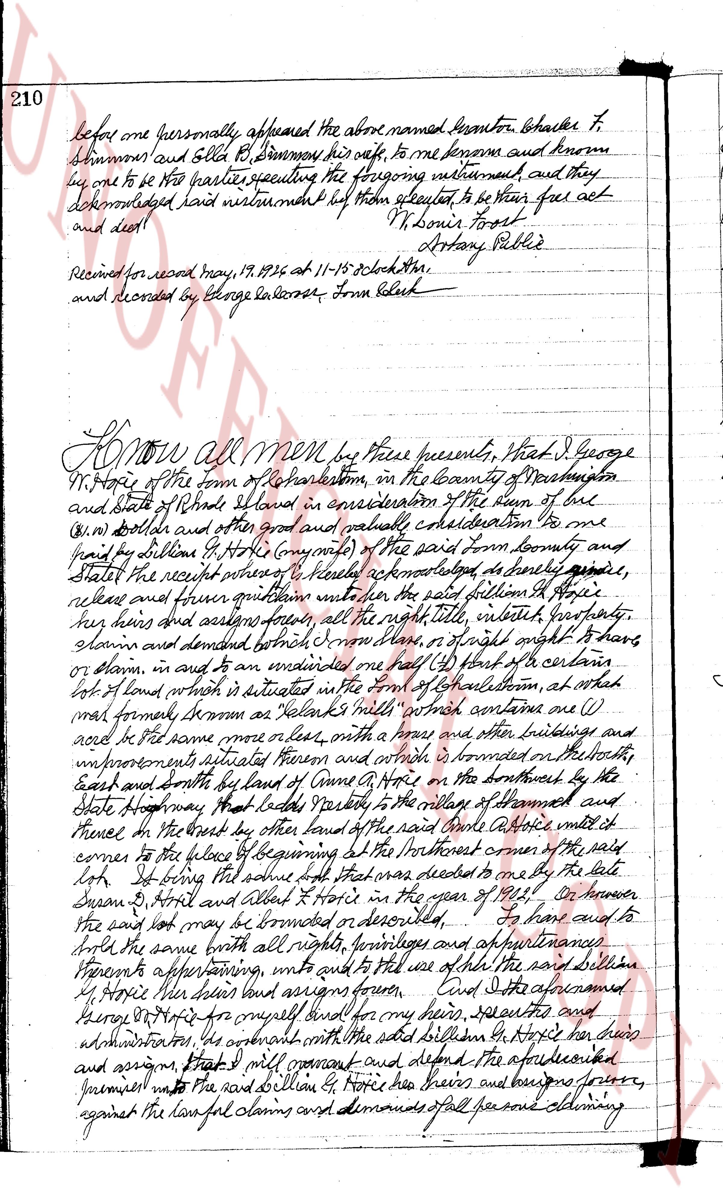
210
before me personally appeared the above named Lemuel Stanton Charles T.
Simmons and Ellen R. Simmons his wife, to me known and known
by one to be the parties executing the foregoing instrument, and they
acknowledged said instrument before them executed to be their free act
and deed. N Louis Frost
Attorney Public
Received for record May, 17, 1826 at 11-15 o'clock a.m.
and recorded by George Salisbury Town Clerk
Know all Men by these presents, That I George
W. Hopkins of the town of Charlestown, in the county of Washington
and State of Rhode Island in consideration of the sum of one
(one) dollar and other good and valuable consideration to me
paid by William G. Hopkins (my nephew) of the said town county and
State the receipt whereof I hereby acknowledge to be had and paid in
release and forever quitclaim unto the said William G. Hopkins
her heirs and certain forever all the right title interest estate
claim and demand both in house or of right and apptnments to house
or slam in and to an undivided one half (1/2) part of a certain
lot of land which is situated in the town of Charlestown, at which
was formed known as Jelacks mill install which contains one (1)
acre more or less, with a house and other buildings and
improvements situated thereon and which is bounded on the North
East and South by laws of Anne G. Hopkins on the Northwest by the
State Highway that leads from the village to the village of Shannons and
thence in the West by other land of the said Anne G. Hopkins until it
comes to the place of beginning at the Northwest corner of the said
lot Being that said lot was deeded to me by the late
Susan G. Bristol and Abel Bristol in the year of 1812 etc He however
the said lot may be burdened or encumbered I have and to
sell the same with all rights privileges and appurtenances
Therefore appearing unto and unto the use of the said William G.
Hopkins her heirs heirs heirs and assigns forever And I the aforementioned
George W. Hopkins for myself my heirs spirits and
administrators do covenant with the said William G. Hopkins her heirs
and assigns that I will warrant and defend the aforesaid
premises unto the said William G. Hopkins her heirs and assigns forever
against the lawful claims and demands of all persons claiming
The page as recorded