The instrument's own words
page 1
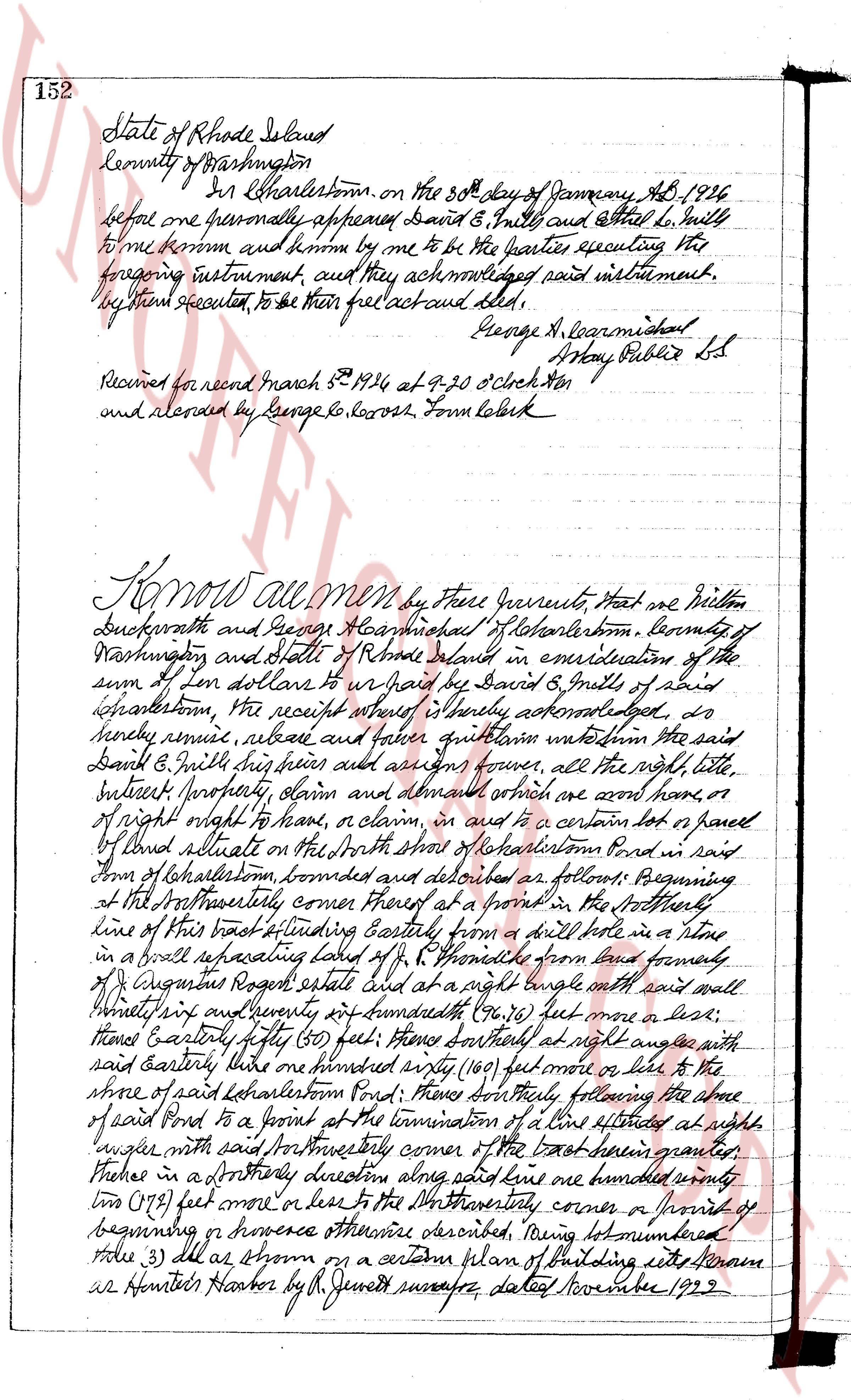
152 State of Rhode Island
County of Washington
In Charlestown, on the 30th day of January AD 1926
before me one personally appeared David B. Smith and Ethel L. Smith
to me known and known by me to be the parties executing the
foregoing instrument, and they acknowledged said instrument,
by them executed, to be their free act and deed.
George A. Loganmishal
Notary Public L.S.
Received for record March 8th 1926 at 9-30 O'clock AM
and recorded by George G. Rogers, Town Clerk
Know all Men by these presents, That we Milton
Duckworth and George A. Loganmishal of Charlestown, County of
Washington and State of Rhode Island in consideration of the
sum of ten dollars to paid by David B. Smith of said
Charlestown, the receipt whereof is hereby acknowledged, do
hereby remise, release and forever quitclaim unto the said
David B. Smith their heirs and assigns forever, all the right, title,
interest property claim and demand whatever we own have or
of right ought to have, or claim, in and to a certain lot or parcel
of land situate on the North shore of Lakehartson Pond in said
town of Charlestown, bounded and described as follows: Beginning
at the Northwesterly corner thereof at a point in the Northwesterly
line of this tract extending Eastly from a drill hole in a stone
in a wall separating said lot from F. H. Smith's from said boundary
of Augustus Rogers estate and at a right angle on said wall
then easterly sixty seven and twenty four hundredths (67.24) feet more or less,
thence Easterly fifty (50) feet; thence North at right angle on said
wall thence one hundred sixty (160) feet more or less to the
shore of said Lakehartson Pond; thence Southly following the shore
of said Pond to a point on the termination of a line extended at right
angle with said Northwesterly corner of the tract herein granted,
thence in a Northerly direction along said line one hundred seventy
two (172) feet more or less to the Northwesterly corner or point of
beginning or however otherwise described, being lot numbered
three (3) as shown on a certain plan of building sites known as
Hunter's Harbor by R. Jenks surveyor, dated November 1929.
page 2
Said plan being recorded in the Land Evidence Records of said Charlestown.
It is made a condition of this deed that the grantor his guests, agents,
servants, heirs, executors, administrators and assigns shall at all times
and for all purposes be permitted to pass and repass with vehicles or
on foot over and across the road known as the Port-house Road from
about two thousand (2000) feet south from the Boston Post Road, thence
southerly along the east line of the land known as the Welcome N. Foster land
now owned by Thomas D. Arnold to a gate about three hundred (300)
feet from said Charlestown Pond, in they sense hereby partly across the way
bounded and abutted and described herein below now owned by said
Thomas D. Arnold over the road known as the Harbor Road to the lot
hereby conveyed. And the grantor his guests, agents, servants, heirs
executors, administrators and assigns shall also have a right of
way to the beach or ocean over and across the beach land a portion of
which is shown on a plan or plat of beach land designated as follows,
"Beach land owned by Isaac Champlain, Abbie Champlain and
Mary Burdick, Charlestown, R.I., M.A. Hinton, Civil Engineer,
July 1910" said plat being filed in the land evidence records of said
Charlestown. It is done to hold the same, with all
rights, privileges and appurtenances thereunto appertaining unto
and to the use of the said David E. Mills, his heirs and assigns
forever. And the aforementioned Milton Buckworth and
George A. Karnichael for mistake and for on his heirs, executors and
administrators, do covenant with the said David E. Mills his heirs
and assigns, that they will warrant and defend the aforesaid
premises unto the said David E. Mills his heirs and assigns forever,
against the lawful claims and demands of all persons claiming
the, through or under us. And I Carrie E. S. Buckworth
wife of the said Milton Buckworth in consideration of the sum paid
aforesaid, do hereby release and forever quit claim unto the said
David E. Mills his heirs and assigns, all my right of dower in
and to the aforementioned premises,
In testimony whereof, we have hereunto set our hands and
seals this 30th day of January in the year of our lord one thousand
nine hundred and twenty six.
Signed and sealed in the presence of
George Leavitt Milton Buckworth L.S.
Nellie A. Karnichael Carrie E. Buckworth L.S.
George A. Karnichael L.S.
State of Rhode Island
County of Washington
In Charlestown on the 30th day of January 1926
page 3
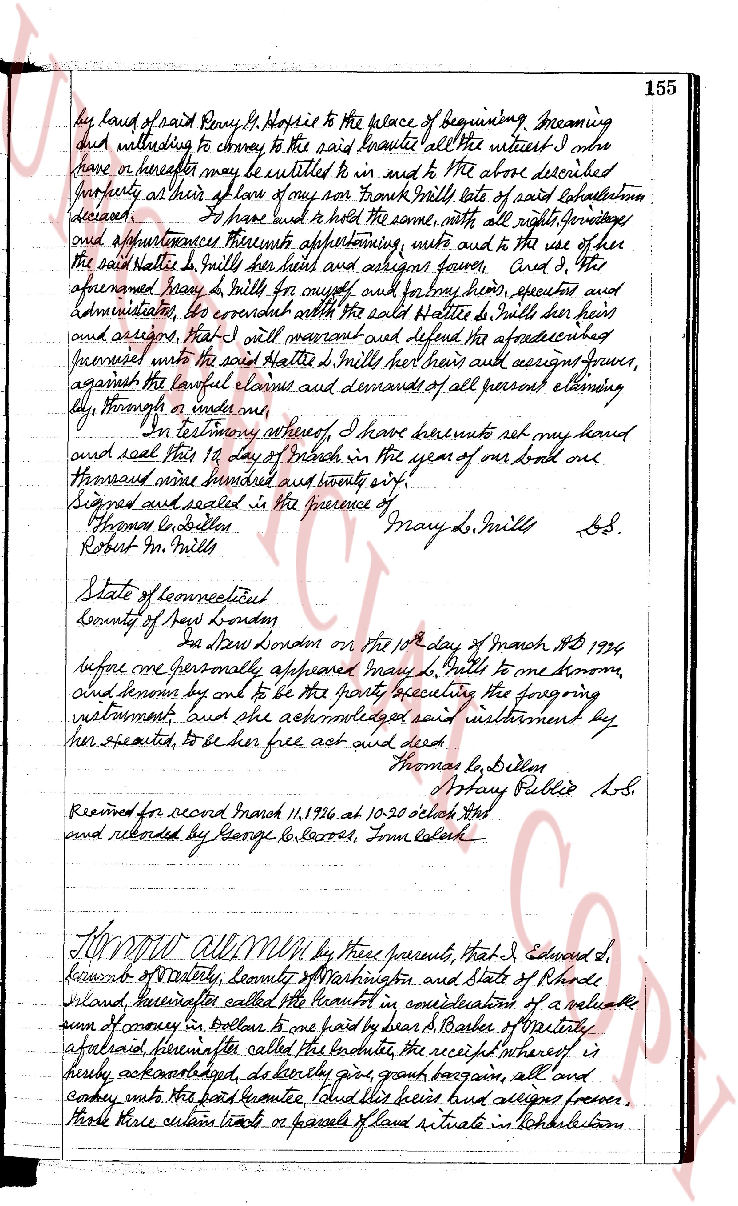
154 1924, before me personally appeared Milton Breckworth, Carrie
E. Breckworth and George A. Carmichael to me known, and
known by me to be the parties executing the foregoing instrument
and they acknowledged said instrument by them executed, to
be their free act and deed. George G. Laross
Notary Public
Received for record March 8th 1924 at 9.20 o'clock AM
and recorded by George G. Laross, Tome Lederk
Know all men by these presents, That I, Mary
L. Brills of the city and county of New London and state of
connecticut in consideration of the sum of one dollar and other
good and valuable considerations to me paid by Hattie L. Shdell
of Hopkinton, County of Washington and state of Rhode Island
the receipt whereof I hereby acknowledge do hereby remise,
release and forever quit claim unto her the said Hattie L. Shdell
her heirs and assigns forever, all the right title, interest property,
estate and demand both of me now, or of right ought to
have, or claim, in or to a certain tract of land situated in
said Hopkinton, bounded and described as follows Beginning
at the Post Road at the southeast corner of land of Benj. H.
Hopkins, thence Northerly by said Post Road to the Bark Constable
Road, as called there, thence Southeasterly by said Arnold Road or wall
and fence to a stone post at the end of said fence in boggy bog;
thence Northeasterly across said bog to a stone post at the
fence at the northwest corner of lot no. 10, as called on
map and these ends continuing Northeasterly along said fence
to a stone post one hundred fifty feet from the South
Arnold Road; thence Northerly parallel with said road
and one hundred and fifty feet from the same to a stone
post at land of Benj. H. Hopkins about two hundred and twenty six
feet from the Bark Constable road; thence Easterly bounding
Northerly by said Hopkins land to the corner at a flint stone and
one half hole stone from the line of land formerly of Smith S. Green,
thence Northerly or Northeasterly parallel with said Green land
and four and one half rods from the same seventeen rods; then
Northeasterly from and one and half rods to the line of said
Green land; thence Northwesterly extending Southeasterly
The page as recorded