The instrument's own words
page 1
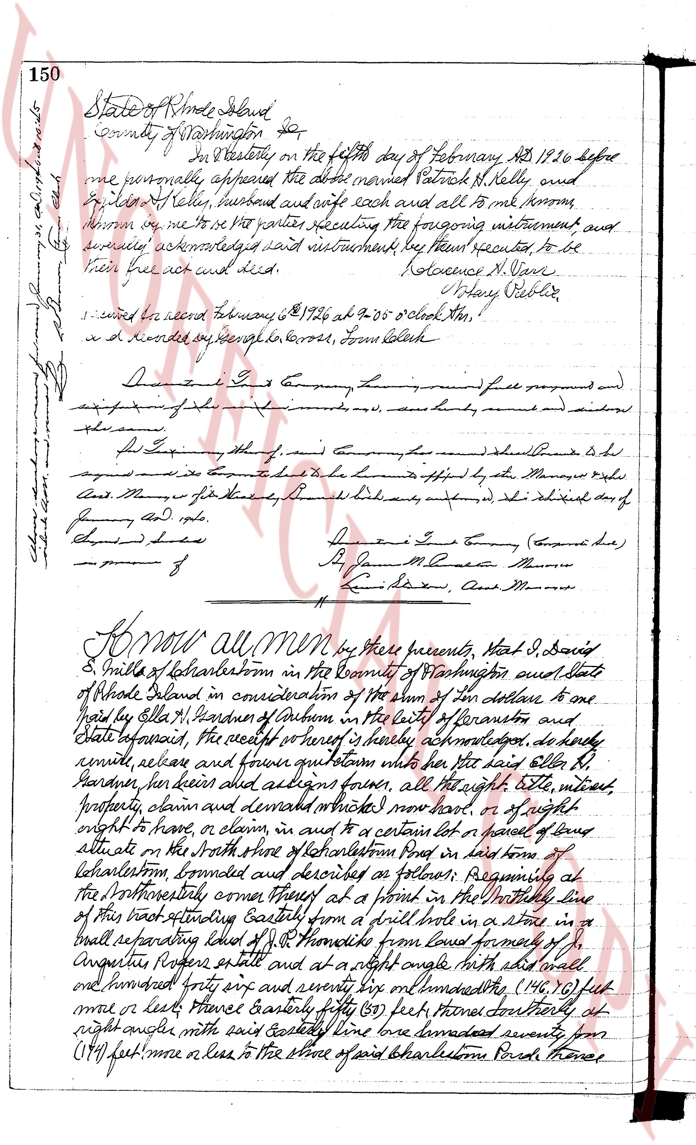
150
State of Rhode Island
County of Washington
ss
Before Dr. E. Costello on the fifth day of February AD 1926 before
me personally appeared the above named Patrick H. Kelly, and
Julia H. Kelly, husband and wife each and all to me known
known me to be, the parties executing the foregoing instrument, and
severely acknowledged said instrument, by them executed, to be
their free act and deed. Florence N. Davis
Notary Public
signed and recorded February 5 1926 at 9-05 o'clock this,
and recorded say henceforth to George, From, Law Clerk
Dunn & Co L. S Company, Ltd, round full prepaid and
expiring of the first (6) months, and sum duly received and signed
the same.
P. L. Taylor thereof, and company has (said Company is Ltd)
agreed that it is to be held to be offered by the Manager rights
And Money for its share by the Board’s decision, as shown in the schedule day of
January AD 1926.
Signed and sealed
Dunn & Co L. S Company (Engined Ltd)
B. J. Moore Clerk Manager
L. S. Taylor, And Manager
Know all men by these presents, That I, David
S. Mills of Charlestown in the County of Washington, and State
of Rhode Island in consideration of the sum of Ten dollars to one
paid by Ellen M. Gardner of Auburn in the city of Providence and
State aforesaid, the receipt of which is hereby acknowledged, do hereby
remise, release and forever quit claim her said father Ellen M.
Gardner, her heirs and assigns forever, all the right, title, interest,
property, claim and demand whatever, now had, or of any right
right to have, or claim in and to a certain lot or parcel of land
situated at the north side of Charlestown road in said town of
Charlestown, bounded and described as follows: Beginning at
the southeasterly corner thereof at a point in the westerly line
of this tract extending Easterly from a drill hole in a stone in a
wall separating said lot of D. Mills from land formerly of J.
Angell, more or less and at a right angle with said wall
one hundred forty six and seventy six and one hundredths (146.76) feet
more or less thence Easterly forty five (45) feet thence northerly at
right angle with said Easterly line land measured seventy seven
(77) feet more or less to the shore of said Charlestown Pond thence
page 2
Southerly following the shore of said Pond to a point at the termination of
a line situated at right angle with said southerly corner of the tract
herein granted, thence in a northerly direction along said line one hundred
forty (140) feet more or less to the Northerly corner or point of beginning,
or however otherwise described, Being lot numbered four (4) all be them
on a certain piece of building site known as Hennessey's House by H. Baxter
surveyor, dated December, 1925, said plan being recorded in the land
evidence records of said Charleston. It is made a condition of this deed,
that the grantee her guests, agents, servants, heirs, executors, administrator
and assigns shall at all times and forever, and for all purposes be permitted to
pass and repass over with vehicles or other order and across the road
known as the West Avenue Road Road for about two thousand (2000)
feet South from the said West Avenue Road Road thence northerly along the West
line of the land known as the Palmetto N. Foster land now owned by Thomas
L. Shurtleff to a gate thence easterly twenty (20) feet from said road
Charleston Pond and from thence northerly across the Mary Burdick and
Abbie and Sarah Hopkins land now owned by said Thomas L. Shurtleff
over the road known as the Harbor Road to the lot hereby conveyed,
And the grantee her guests, agents, servants, heirs, executors, adminis
trators and assign shall also have a right of way to the beach or
ocean over and across the beach land a portion of which is shown on
a plan or plot of beach land originally described as follows, "Beach lands
owned by Sarah H. Keanearney, Albert G. Chamberlin and Mary Burdick
Charleston, Reg. R. M. A. Newcomer, clk engineers July 1912" said plat
being filed in the land records Evidence Records of said Charleston.
I have and to find the same, with all rights, privileges
and appurtenances thereunto appertaining, to have and to the use of
the said Ella N. Keanearney her heirs and assigns forever,
And I, the aforementioned David E. Mills for myself and seed for my
heirs, grants and administrators, do covenant with the said
Ella H. Keanearney her heirs and assigns, that I will warrant and
defend the aforesaid premises unto the said Ella H. Keanearney
her heirs and assigns forever, against the lawful claims and
demands of all persons claiming by title through or under me,
And I, Ethel L. Mills wife of the said David E. Mills in consideration
of the sum paid as aforesaid, do hereby release and forever quitclaim
into the said Ella H. Keanearney her heirs and assigns, all my right of
dower in and to the aforementioned premises,
In testimony whereof I have hereunto set my hand and seal
this 30 day of February in the year of our lord one thousand nine hundred and twenty five
Signed and sealed in the presence of
George H. Kohornobas David E. Mills S.S.
Ethel L. Mills S.S.
page 3
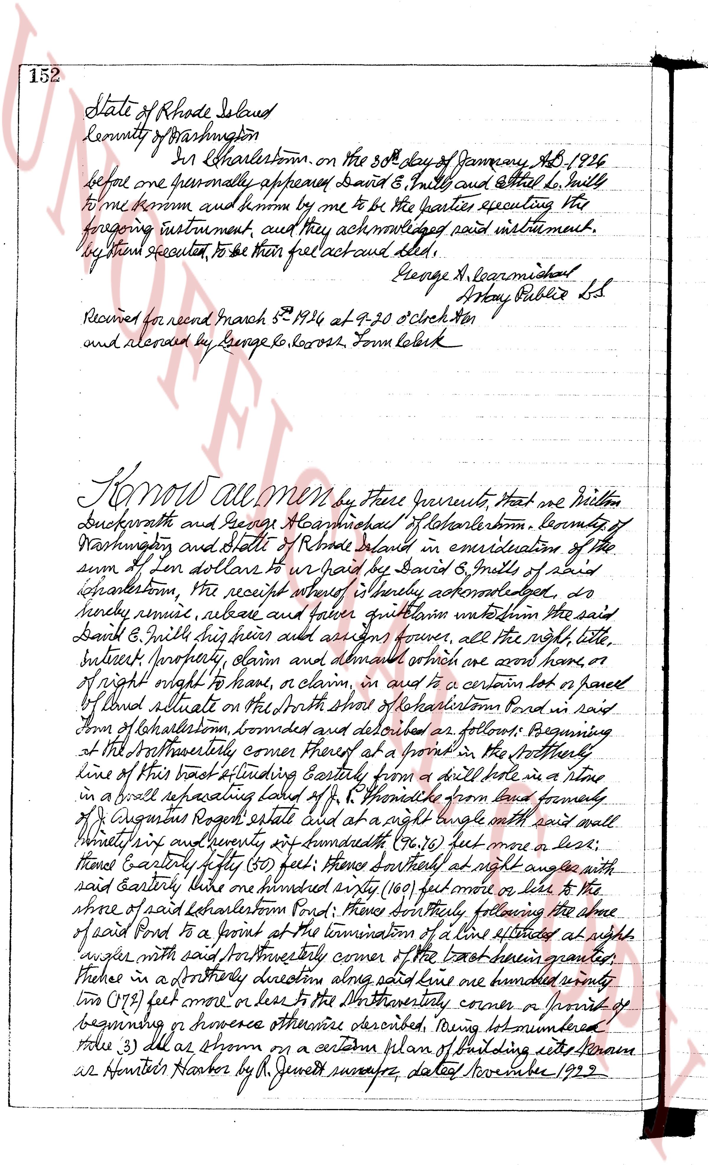
152 State of Rhode Island
County of Washington
In Charlestown, on the 30th day of January AD 1926
before me one personally appeared David B. Smith and Ethel L. Smith
to me known and known by me to be the parties executing the
foregoing instrument, and they acknowledged said instrument,
by them executed, to be their free act and deed.
George A. Loganmishal
Notary Public L.S.
Received for record March 8th 1926 at 9-30 O'clock AM
and recorded by George G. Rogers, Town Clerk
Know all Men by these presents, That we Milton
Duckworth and George A. Loganmishal of Charlestown, County of
Washington and State of Rhode Island in consideration of the
sum of ten dollars to paid by David B. Smith of said
Charlestown, the receipt whereof is hereby acknowledged, do
hereby remise, release and forever quitclaim unto the said
David B. Smith their heirs and assigns forever, all the right, title,
interest property claim and demand whatever we have home or
of right ought to have, or claim, in and to a certain lot or parcel
of land situate on the North shore of Lakehartson Pond in said
town of Charlestown, bounded and described as follows: Beginning
at the Northwesterly corner thereof at a point in the Northwesterly
line of this tract extending Eastly from a drill hole in a stone
in a wall separating said lot from a P. Chronicle from and formerly
of Augustus Rogers estate and at a right angle with said wall
runs Southeasterly forty seven and twenty four hundredths (47.24) feet more or less,
thence Easterly fifty (50) feet; thence Northeast at right angle with
said easterly line one hundred sixty (160) feet more or less to the
shore of said Lakehartson Pond; thence Southwesterly following the shore
of said Pond to a point on the termination of a line extended at right
angle with said Northwesterly corner of the tract herein granted,
thence in a Northerly direction along said line one hundred seventy
two (172) feet more or less to the Northwesterly corner or point of
beginning or however otherwise described, being lot numbered
three (3) as shown on a certain plan of building sites known as
Hunter's Harbor by R. Jenks surveyor, dated November 1929.
The page as recorded