The instrument's own words
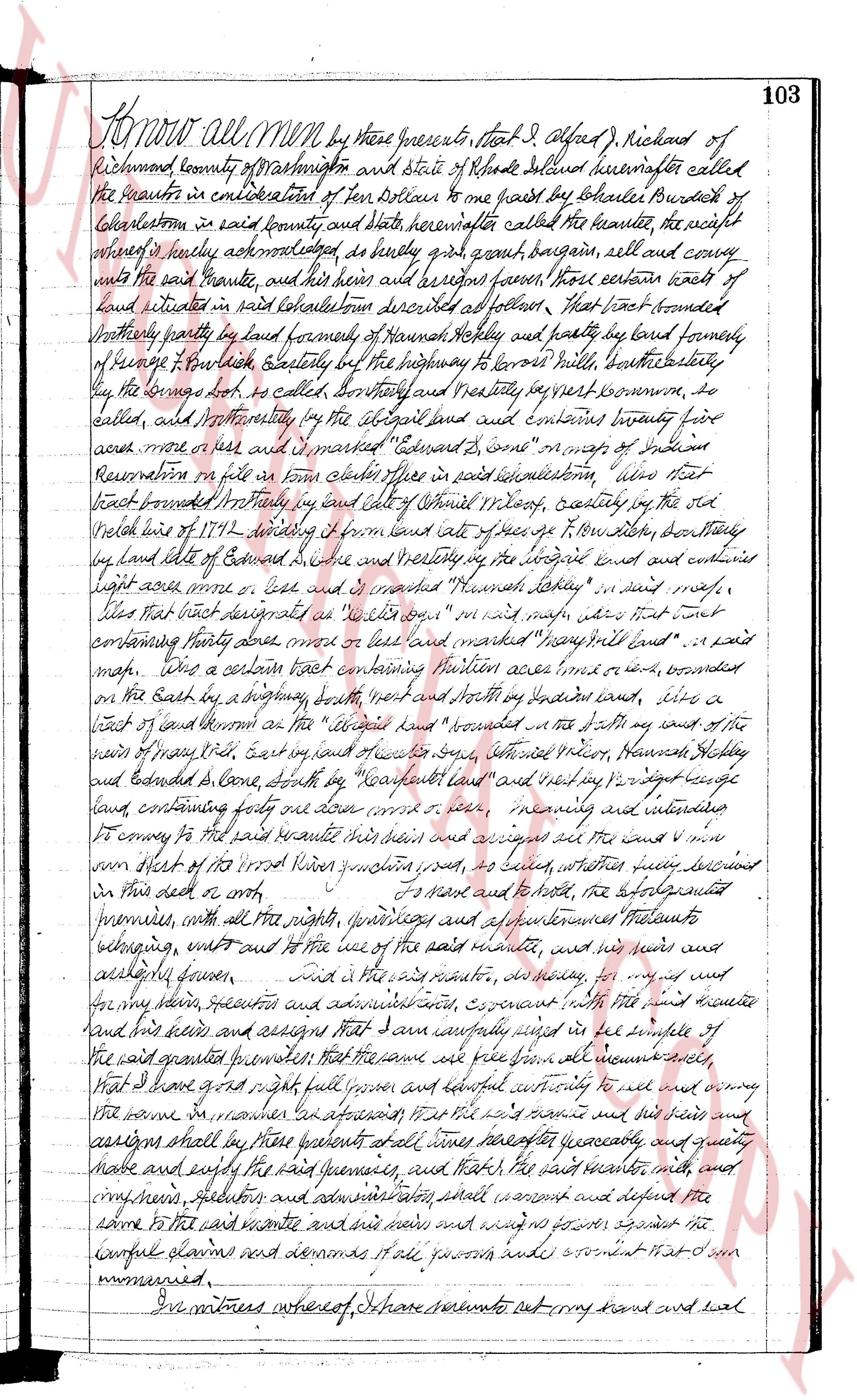
page 1
Know all Men by these presents, that I Alfred J. Richard of
Richmond county of Washington and State of Rhode Island Delaware hereinafter called
the grantor in consideration of ten Dollars to me paid by Charles Burdick of
Charlestown in said county and State hereinafter called the grantee, the right
ownership of hereby acknowledged do hereby grant bargain sell and convey
unto the said grantee and his heirs and assigns forever, those certain lots of
land situated in said Charlestown described as follows: That first lot bounded
northerly partly by land formedly of Samuel Haskell and partly by land formerly
of George T. Purkiss clerkly, Easterly by the highway to Lorrows Mill, southerly
by the spring known as the boil, Centrally and Westerly by very known home, be
called, and Northerly by the old road land and contains twenty four
acres more or less and is marked "Edward J. some" on maps of Indian
Reservation in file in town clerk office in said Charlestown; also that
tract bounded northerly by and also of Samuel Haskell, easterly by the old
beach line of 1792 dividing it from land acts of free’s t. P. Low mill, southerly
by land late of Edward J. some and westerly by the original road and contains
eight acres more or less and is marked "Hannah Taylor" in said map
Also that tract designated as "Lot No 4" on said map also that lot
containing thirty three acres more or less and marked "Spray Hill land" in said
map. Also a certain tract containing fourteen acres more or less, bounded
on the East by a highway, north and south by George’s land, west by a
tract of land of Thormon as the "old road" bounded on the south by the land of the
estate of Mary Hall, east by land of several others, therefore Weaver, Haman Hobley
and extended S. some, South by "Treadway land" and west by 21 rod length
land, containing forty two acres more or less, meaning and intending
to convey to the said grantee his heirs and assigns all the land more or less
sum within the tract of Rhode Island Indian reservation, such as may belong
in this deed or oath, To have and to hold, the aforementioned
premises, with all the rights privileges appurtenances and improvements thereto
belonging, whatsoever and to the use of the said grantee, and his heirs and
lawfully given. And I the said grantor, do hereby for myself and
for my heirs executors and administrators covenant with the said grantee
and his heirs and assigns that I am lawfully seized in the fee simple of
the grant premises conveyed to the said grantee from all encumbrances
that I have right full power and lawful authority to sell and convey
the same in manner aforesaid to the said grantee and his heirs and
assigns shall by these presents their heirs hereafter quietly and quietly
have and enjoy the said premises, and that I the said grantor, will
convey my heirs executors and administrators shall warrant and defend the
same to the said grantee and his heirs and against all persons claiming the
lawful claims and demands it all forevers and agreement that is done
manneried.
In witness whereof I have hereunto set my hand and seal
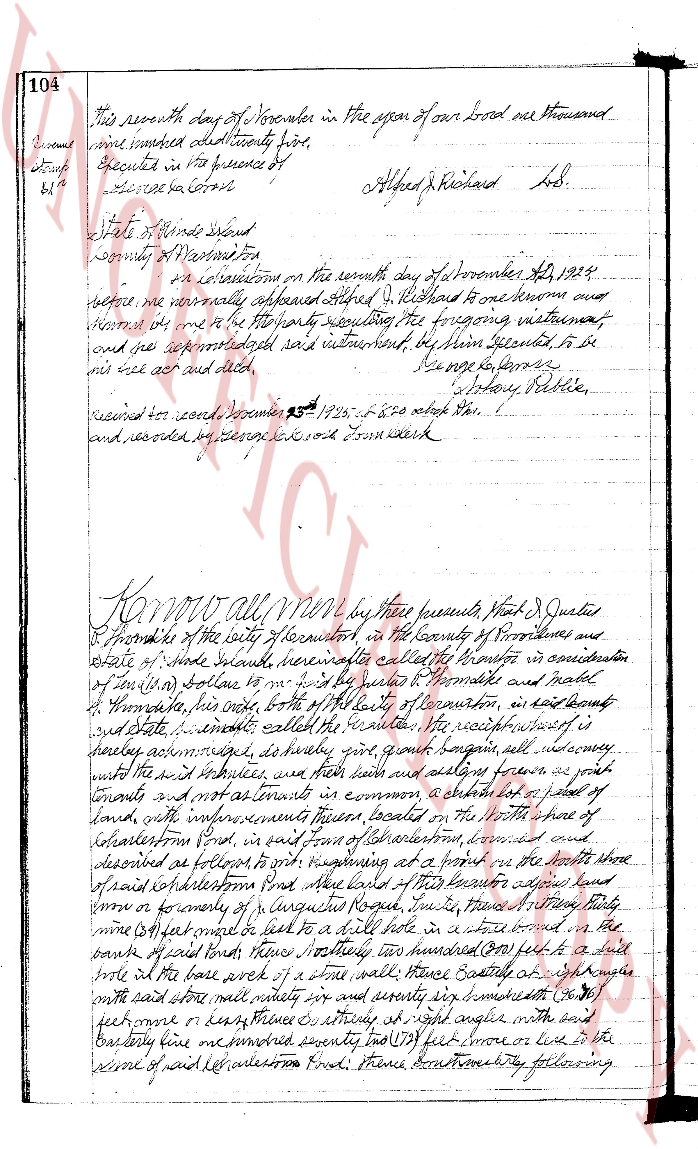
page 2
104
This seventh day of November in the year of our Lord one thousand
nine hundred and twenty five.
Executed in the presence of
[Signature]
Alfred J. Richard L.S.
State of Rhode Island
County of Washington ss.
on instructions on the seventh day of November A.D. 1925
before me personally appeared Alfred J. Richard to me known and
known him to me to be the party hereto executing the foregoing instrument
and see acknowledged said instrument, by him executed to be
his free act and deed.
[Signature]
George G. Lawson
Notary Public.
Received for record December 25th 1925 at 8:20 o'clock A.M.
and recorded by George G. Lawson Town Clerk
Know all men by these presents that Alfred J. Justice
of Providence of the City of Providence in the County of Providence and
State of Rhode Island hereafter called the grantor in consideration
of ten (10) dollars to me in hand paid by Peter H. Thomsite and Mabel
H. Thomsite his wife both of the City of Providence in said county
and State immediately after the execution the receipt whereof is
hereby acknowledged hereby grant bargain sell and convey
unto the said trustees as their heirs luck and assigns forever as joint
tenants and not as tenants in common a certain lot of parcel
of land with improvements thereon located on the North shore of
Charlestown Pond in said Town of Charlestown convened and
described as follows to wit: beginning at a point on the North shore of
said Charlestown Pond near land of this grantor adjacent land
more or less partly of Longshore Road running westerly a straight line thirty
nine (39) feet average or near to a nail driven into a stone bound in the
banks of said Pond thence Northerly two hundred (200) feet to a nail
driven into the base work of a stone wall thence Easterly eighty eight (88)
with the said stone wall running sixty six and seventy six hundredths (76)
feet more or less thence southerly at right angles with the said
Easterly line one hundred seventy two (172) feet more or less to the
center of said Charlestown Pond thence southeasterly following
The page as recorded