The instrument's own words
page 1
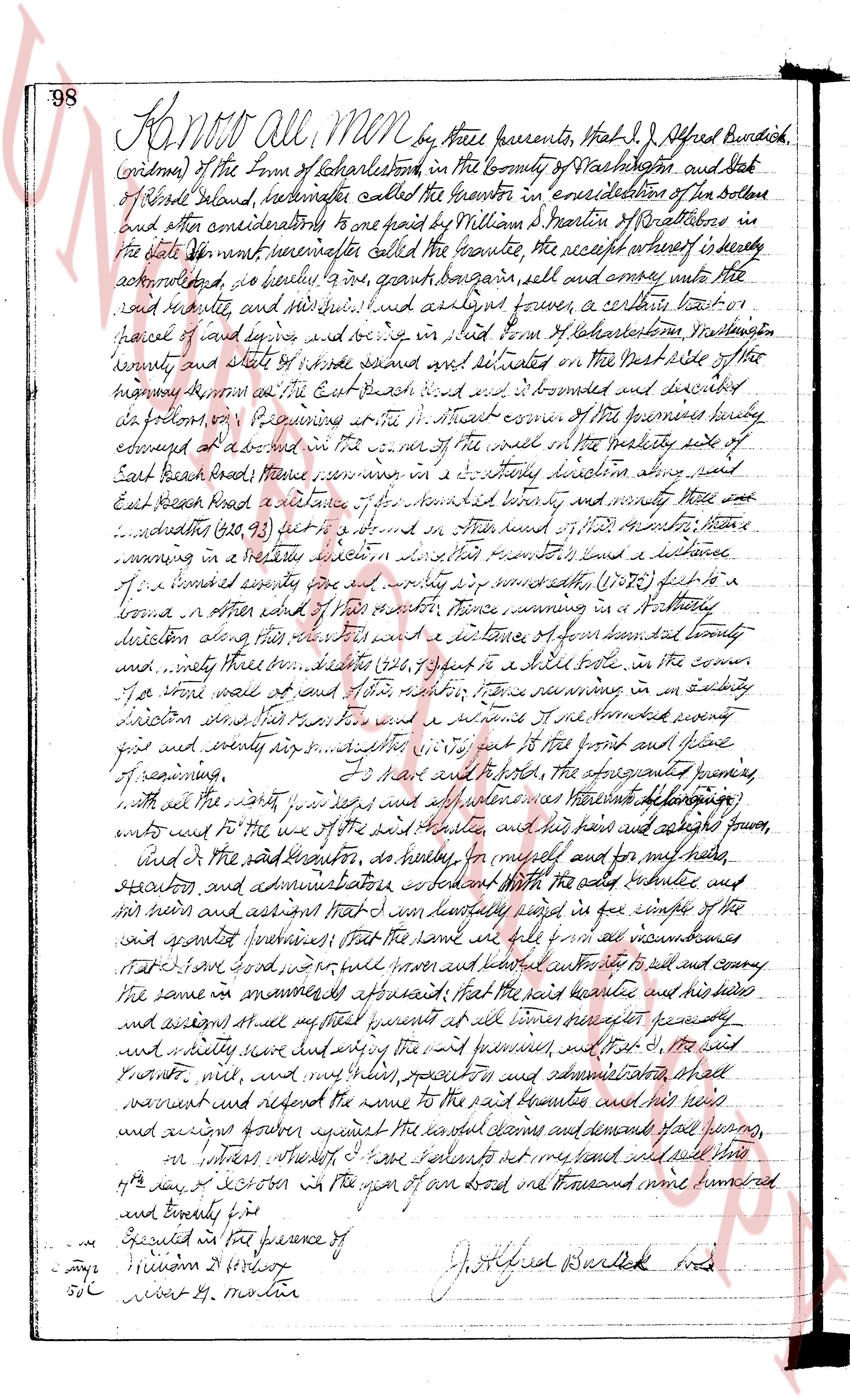
98 Know All MEN by these presents, That I, J. Alfred Burdick,
(widow) of the Town of Charlestown in the County of Washington and State
of Rhode Island, hereinafter called the grantor in consideration of ten dollars
and other considerations to me paid by William J. Martin of Westerly in
the State of Rhode Island hereinafter called the grantee, the receipt whereof is hereby
acknowledged, do hereby to him my said grant bargain sell and convey unto the
said grantee, and his heirs and assigns his lawful assigns forever, a certain tract
parcel of land lying and being in the Town of Charlestown Washington
county and state of Rhode Island situated on the West side of the
main road from the East Branch road and is bounded and described
as follows: Beginning at a bound stone street corner of the premises hereby
conveyed at a bound in the north west corner of the wall on the North side of
East Branch road thence running in a south easterly direction along said
East Branch road a distance of one hundred sixty boundary and ninety three
hundredths (160.93) feet to a bound in a wall thence north easterly thence
running in a north easterly direction along said boundary a distance
of one hundred seventy five and eighty six hundredths (175.86) feet to a
bound in a stone wall thence north easterly thence running in a northerly
direction along said boundary a distance of one hundred forty boundary
and ninety three hundredths (140.93) feet to a stake built in the corner
of a stone wall and of said boundary thence running in an easterly
direction along said boundary a distance of one hundred twenty
five and eighty six hundredths (125.86) feet to the front and plane
of running, running. To have and to hold the above described premises
with all the rights way’s and all others whatsoever appertaining
unto and unto the use of the said grantee, and his heirs and assigns forever,
and of the said grantor, as hereby for myself and for my heirs,
executors and administrators covenant with the said grantee and
his heirs and assigns that I and my lawfully send in the couple of the
said grantor premises that the same are full and free and unencumbered
states of all taxes, food, costs, will liens and encumbrances to the said grantee
the same in mannerly appeared that the said grantee and his heirs
and assigns shall all my right present at all times peaceably and
quietly have and enjoy the same and premises and that I, the said
grantor, will, and my heirs, executors and administrators shall
warrant and defend the same to the said grantee and his heirs
and assigns against all other claims and demands far going,
or interest whereby I have set my hand and seal this
day of October in the year of our Lord one thousand nine hundred
and twenty four
Executed in the presence of
[Signature]
[Signature]
J. Alfred Burdick [Seal]
page 2
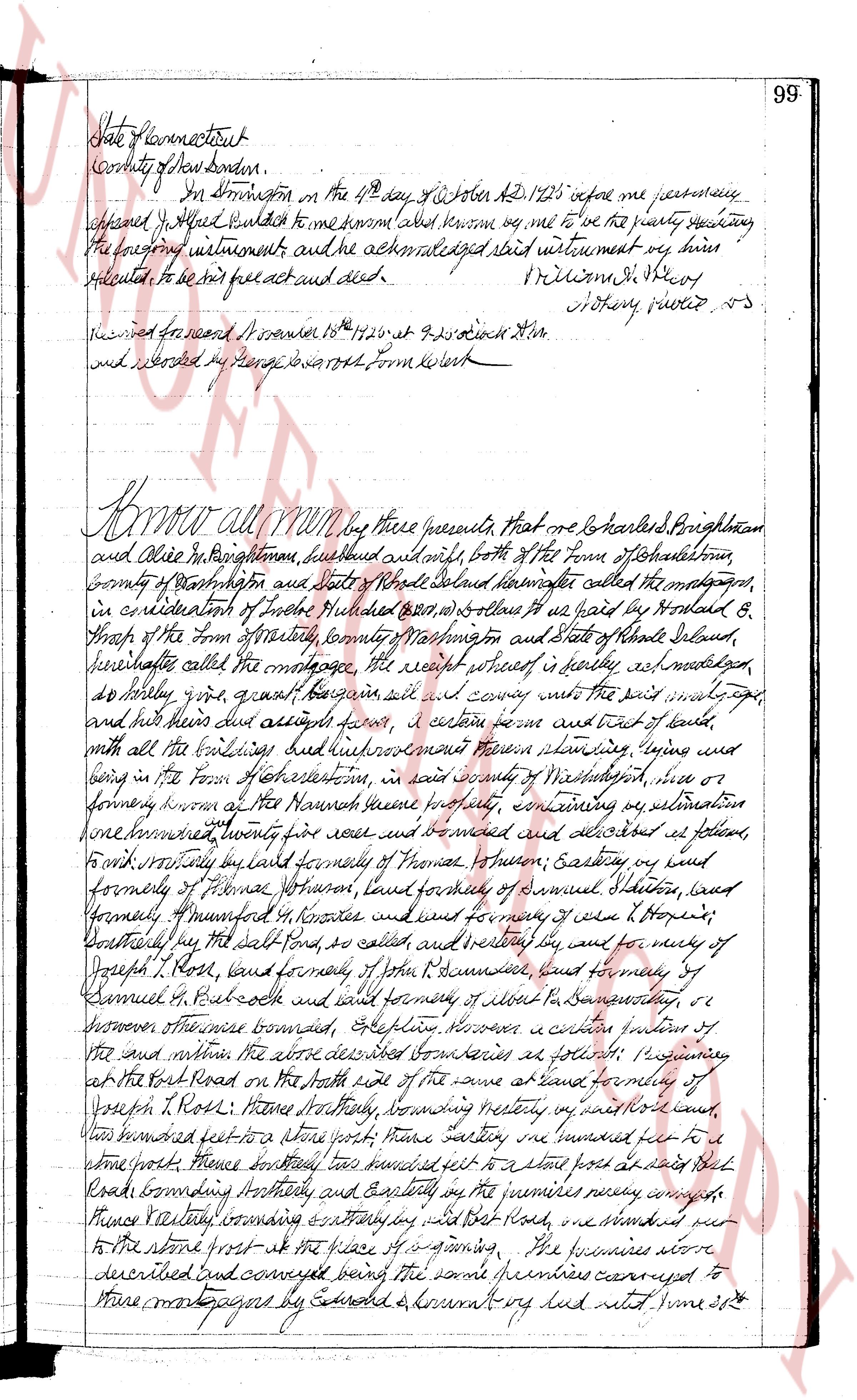
State of Connecticut
County of New London
In Northstowe on the 4th day of October A.D. 1725 before me personally
appeared J. Hazard indentured to me him and others known me to be the public secretary
the following instrument and the acknowledged said instrument very true
related to be his free act and deed.
W. Williams J. S. Secy
Notary public VS
Received for record November 18th 1726 at 9:30 o'clock AM
and recorded by George S. North Town Clerk
Know all men by these presents, that one me be Harleyd Brightman
and Alice Brightman, husband and wife, both of the Town of Charlestown,
County of Washington and State of Rhode Island called the mortgagors,
in consideration of five hundred Dollars ($500) to us paid by Harold B.
Sharp of the Town of Westerly, County Washington and State of Rhode Island,
hereinafter called the mortgagee the receipt whereof is hereby acknowledged
do hereby give, grant, bargain sell and convey unto the said mortgagee,
and his heirs dues assigns forever, a certain farm and tract of land,
with all the buildings but Richardson's farm remaining thereon, lying and
being in the Town Charlestown, in said county of Washington, viz or
formerly known as the Narragansett land evidence property, containing by estimation
one hundred twenty per acres more or less and bounded as follows,
to wit westerly by land formerly of Thomas Thrasher, Easting by land viz
formerly of Thomas Howard, land formerly of Samuel S. Shore, land
formerly of Manford H. Knowles and land formerly of Case L. Hopkins,
Southerly by the salt Pond, so called, and westerly by land of
Joseph T. Ross, land formerly of John R. Dumond, land formerly of
Samuel M. Betcock and land formerly of Albert De Bonaventure, or
successor others thereunto bounded, Stepping however a certain portion of
the said within the above described boundaries as follows: Beginning
at the Road Road on the north side of the same at land formerly of
Joseph T. Ross; thence southerly, bounding westerly by said road one
hundred feet to a stone post; thence easterly, one hundred feet to a
stone post; thence southerly, two hundred feet to a stone post at said salt
Road bounding southerly and easterly by the numbers newly conveyed
thence westerly, bounding easterly by said Salt Road, one hundred feet
to the stone post at the place of beginning. The premises above
described and conveyed being the same premises conveyed to
these mortgagors by Edward & Jonathan vug head viz June 20th
The page as recorded