The instrument's own words
page 1 · read by Gemma vision
17
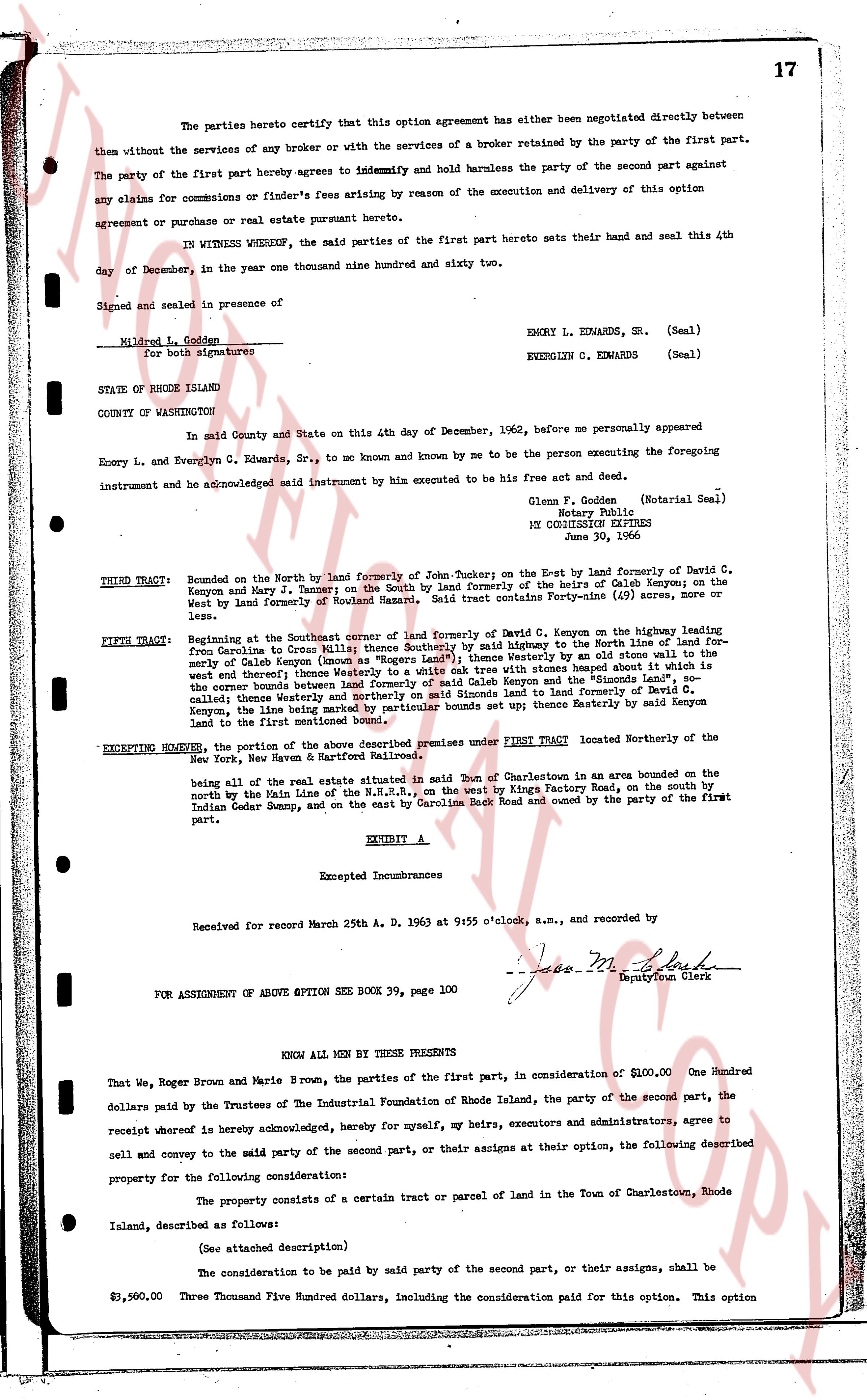
The parties hereto certify that this option agreement has either been negotiated directly between them without the services of any broker or with the services of a broker retained by the party of the first part.
The party of the first part hereby agrees to indemnify and hold harmless the party of the second part against any claims for commissions or finder's fees arising by reason of the execution and delivery of this option agreement or purchase or real estate pursuant hereto.
IN WITNESS WHEREOF, the said parties of the first part hereto sets their hand and seal this 4th day of December, in the year one thousand nine hundred and sixty two.
Signed and sealed in presence of the
Mildred L. Golden
For both signatures
EMERY L. EDWARDS, Sr. (Seal)
EVERGINE C. EDWARDS (Seal)
STATE OF RHODE ISLAND
COUNTY OF WASHINGTON
In said County and State on this 4th day of December, 1962, before me personally appeared
Emory L. and Evergine C. Edwards, Sr., to me known and known by me to be the person executing the foregoing instrument and have acknowledged signed instrument said instrument by him execute to be his free act and deed.
Glenn F. Golden (Notarial Seal)
Notary Public
MY COMMISSION EXPIRES
June 30, 1966
----
THIRD TRACT: Bounded on the North by the land formerly of John Tucker-on the East by the land formerly of David C. Kenyon and Mary J. Tanner on the South by the land formerly of the heirs of Caleb Kenyon on the West by the land formerly of Roland Hammet. Said tract is further described in Paragraph (3) of the
EXHIBIT A.
FIFTH TRACT: Beginning at the Southwest corner of the land formerly of David C. Kenyon on the highway leading from Providence to Corona Mills Street [?] Southly by the highway to the North line of land formerly of Caleb Kenyon and his heirs known as "Rogers Land" thence Westly to an old stone wall to the westly of the land of Caleb Kenyon and his heirs known as "Rogers Land" thence Southly to a stone wall to the west and thence Westly thence Westly to a white oak tree with stones on either side marked "the Simonds Land", so the corner between the land of Caleb Kenyon and his heirs and the land of Simonds and the [?]
castle; thence Westly and thereafter southly on said Simonds land to the land formerly of David C. Kenyon, thence line the same bearing Northwesterly boundary sets up thence Westly by said Kenyon land to the first mentioned point.
EXCEPTING HOWEVER, the portion of the above described premises under FIRST TRACT located Northerly of the New York, New Haven & Hartford Railroad;
being all of the real estate situated in said Town of Charlestown in an area bounded on the North by the Rail line of the N.Y.N.H. & H.R., on the west by Kings Factory Road, on the south by Indian Cedar Swamp, and on the east by Carolina Rock Road and owned by the party of the first part.
EXHIBIT A
Excepted Incumbrances
Received for record March 25th A. D. 1963 at 9:55 o'clock, a.m., and recorded by
[Signature]
Deputy Town Clerk
FOR ASSIGNMENT OF ABOVE OPTION SEE Book 39, page 100
KNOW ALL MEN BY THESE PRESENTS
That we, Roger Brown and Marie Brown, the parties of the first part, in consideration of $100.00 One Hundred dollars paid by the Trustees of The Industrial Foundation of Rhode Island, the party of the second part, the receipt whereof is hereby acknowledged, hereby for myself, my heirs, executors and administrators, agree to sell and convey to the said party of the second part, or their assigns at their option, the following described property for the following consideration:
The property consists of a certain tract or parcel of land in the Town of Charlestown, Rhode Island, described as follows:
(See attached description)
The consideration to be paid by the said party of the second part, or their assigns, shall be
$3,500.00 Three Thousand Five Hundred dollars, including the consideration paid for this option. This option
page 2 · read by Gemma vision
18
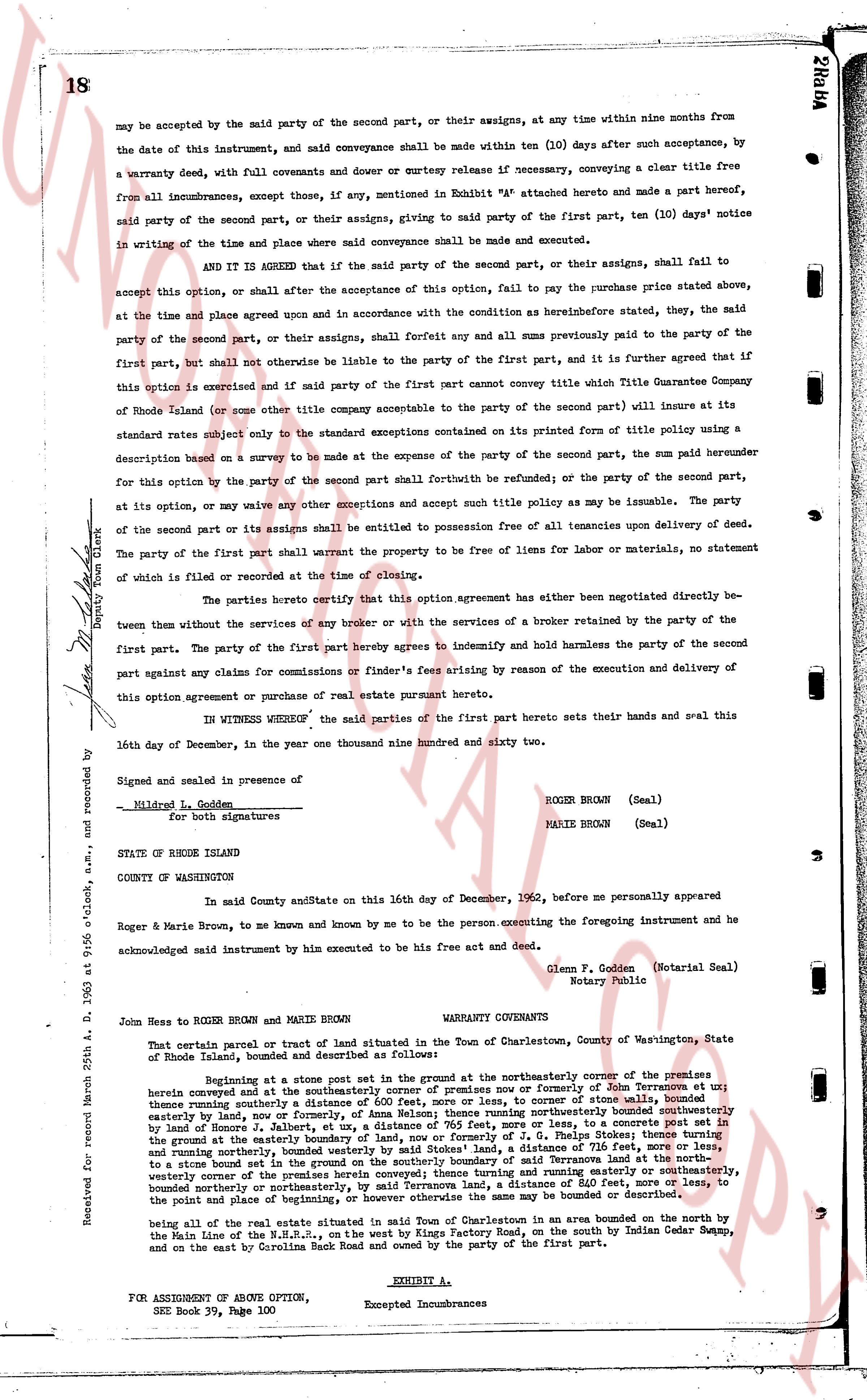
may be accepted by the said party of the second part, or their assigns, at any time within nine months from the date of this instrument, and said conveyance shall be made within ten (10) days after such acceptance by, a warranty deed, with full covenants and dower or curtesy release if necessary, conveying a clear title free from all incumbrances, except those, if any, mentioned in Exhibit "A" attached hereto and made a part hereof, said party of the second part, or their assigns, giving to said party of the first part, ten (10) days' notice in writing of the time and place where said conveyance shall be made and executed.
AND IT IS AGREED that if the said party of the second part, or their assigns, shall fail to accept this option, or shall after the acceptance of this option, fail to pay the purchase price stated above, at the time and place agreed upon and in accordance with the conditions as hereinbefore stated, they, the said party of the second part, or their assigns, shall forfeit say and all sums previously paid to the party of the first part, but shall not otherwise be liable to the party of the first part, and it is further agreed that if this option is exercised and if made party of the first part cannot convey title which The Guarantee Title Company of Rhode Island (or some other title company acceptable to the party of the second part) will insure at its standard rates subject only to the standard exceptions contained on its printed form of title policy using a description based on a survey to be made at the expense of the party of the second part, the sum paid hereunder for this option by the party of the second part shall be refunded to; or balance of the party of the second part, at its option, may waive any other exceptions and accept such title policy as may be issuable. The party of the second part or its assigns shall be entitled to possession free of all tenancies upon delivery of deed. The party of the first part shall warrant the property to be free of liens for labor or materials, no statement of which is filed or recorded at the time of closing.
The parties hereby certify that this option agreement has neither been negotiated directly between them without the services of any broker or with the services of a broker retained by the party of the first part. The party of the first part hereby agrees to indemnify and hold harmless the party of the second part against any claims for commissions or finder's fees arising by reason of the execution and delivery of this option agreement or purchase of real estate pursuant hereto.
IN WITNESS WHEREOF, the said parties of the first part hereto sets their hands and seals this 14th day of December, in the year one thousand nine hundred and sixty two.
Signed and sealed in presence of
Mildred L. Godden
For both signatures
ROGER BROWN (Seal)
MARIE BROWN (Seal)
STATE OF RHODE ISLAND
COUNTY OF WASHINGTON
In said County and State on this 14th day of December, 1962, before me personally appeared
Roger & Marie Brown, to me known and by me known and by me known to be the person executing the foregoing instrument and he acknowledged said instrument by him executed to be his free act and deed.
Glenn F. Godden (Notarial Seal)
Notary Public
Received for record 25th a. D. 1963 at 9:56 o'clock, a.m. and recorded by
Deputy Town Clerk
----
WARRANTY COVENANTS
John Hess to ROGER BROWN and MARIE BROWN
That certain parcel of tract of land situated in the Town of Charlestown, County of Washington, State of Rhode Island, bounded and described as follows:
Beginning at a stone post set in the ground at the northeasterly corner of the premises herein conveyed located at the intersection of the center of ourselves now or formerly of John Tenorman et al; thence running southerly a distance of 600 feet, more or less, to corner of stone walls, bounded easterly by land, now or formerly of S. Tenorman et al; thence running northeasterly bounded northeasterly by land, now or formerly of S. Tenorman et al, a distance of 765 feet, more or less, to a concrete post set in the land of former S. Tenorman et al; thence running southerly a distance of 716 feet, more or less, to a stone bound set in the ground at the easterly boundary of land, now or formerly of J. Tenorman et al; thence running westerly to a stone bound set in the ground on the southerly boundary of said Tenorman et al to a distance of 600 feet, more or less, to a stone bound set in the ground at the intersection of the center of a road running easterly and southeasterly, bounded northerly or northeasterly, by said Tenorman land, a distance of 610 feet, more or less, to the point of beginning or termination of said boundary, or to a stone bound or similar marker;
being of the whole of the real estate situated in said Town of Charlestown in an area bounded on the north by the Main Line of the N.H.rr.R.s., on the west by Kings Factory Road, on the south by Indian Cedar Swamp, and on the east by Carolina Back Road and owned by the party of the first part.
EXHIBIT A.
FOR ASSIGNMENT OF ABOVE OPTION,
SEE Book 39, Page 100
Excepted Incumbrances
The page as recorded