The instrument's own words
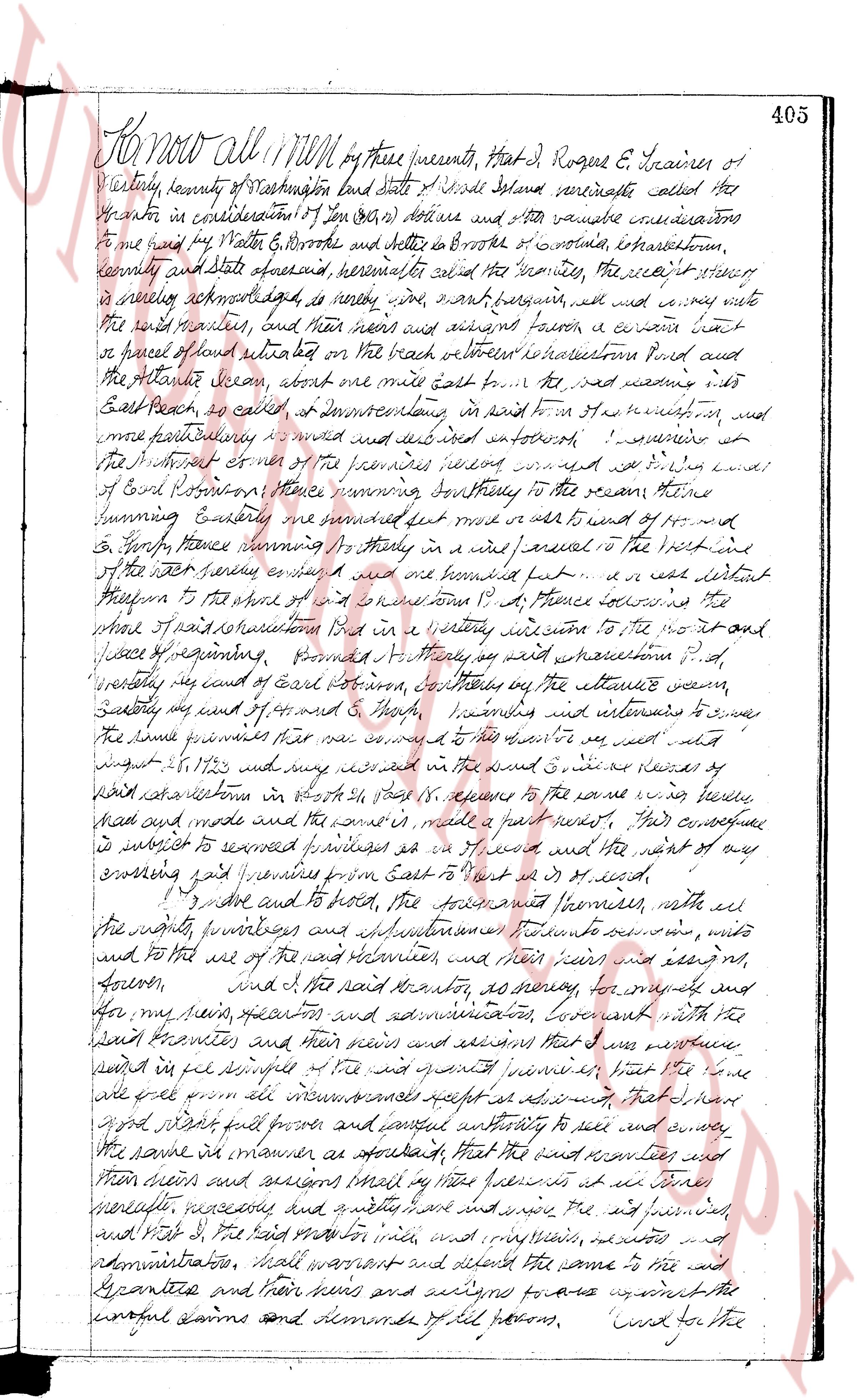
page 1
Know all Men by these presents, That I, Rogers E. Trainer of
Westerly, county of Washington and state of Rhode Island aforesaid called the
Grantor in consideration of ten dollars and other valuable consideration
to me paid by Walter B. Brooks and debtor in Brooks of envelop, incorporated town,
county and state aforesaid, hereinafter called the Grantee, the receipt thereof
a duly acknowledging, do hereby sell grant bargain sell and convey unto
the said Grantee and his heirs need and assigns forever a certain lot
of parcel of land situated on the beach between Narragansett Pond and
the Atlantic ocean about one mile east from the road leading into
East Beach, as called, and boundedly as follows in point to the northwest, and
more particularly described and defined as follows: beginning at a stake
at the intersection of the premises corner marked with a stake in the line of
Goodman Simmons thence running southeasterly to the ocean thence
running easterly and continuing south east to a stake of pine and
to George fence running westerly to a stake in a fence parallel to the baseline
of the said survey ending and one hundred feet a certain distant
therefrom to the shore of the ocean a distance of 47 feet crossing the
shore and proceeding then in a westerly direction to the north and
place of beginning, provided that as well as aforementioned p.d.
westerly way of count of East Branch, continuing by the atlantic ocean
easterly way and of G. Brooks's boundary and intends to serve
the said premises that was conveyed to the said Grantor as well
under 1872 and may extend in the sand a distance of 15 feet across the
said road extension in points 15 feet apparent to the same way before
had and made and the same is made a path way mark. That conveyance
is subject to several privileges as to wood and the want of any
existing right of way premises from East beach to west of wood.
And also and to hold the aforesaid premises, with all
the rights privileges and immunities thereunto belonging forever, unto
and to the said and their heirs and assigns their heirs and assigns for
forever, and I the said Grantor as surety for myself and
for my heirs executors and administrators covenant with the
said Grantee and their heirs and assigns that I was seised
paid in fee simple of the said and premises however that I leave
free from all incumbrances whatsoever arising therefrom that they
good market full power and lawful authority to sell and convey
the same in manner as aforesaid that the said Grantee and
their heirs and assigns shall by these presents at all times
lawfully necessary and quietly have and enjoy the said premises,
and with I the said Grantor my heirs executors administrators
administrators shall warrant and defend the same to the said
Grantee and their heirs and assigns against the
lawful claims and demands of all persons. Signed for the
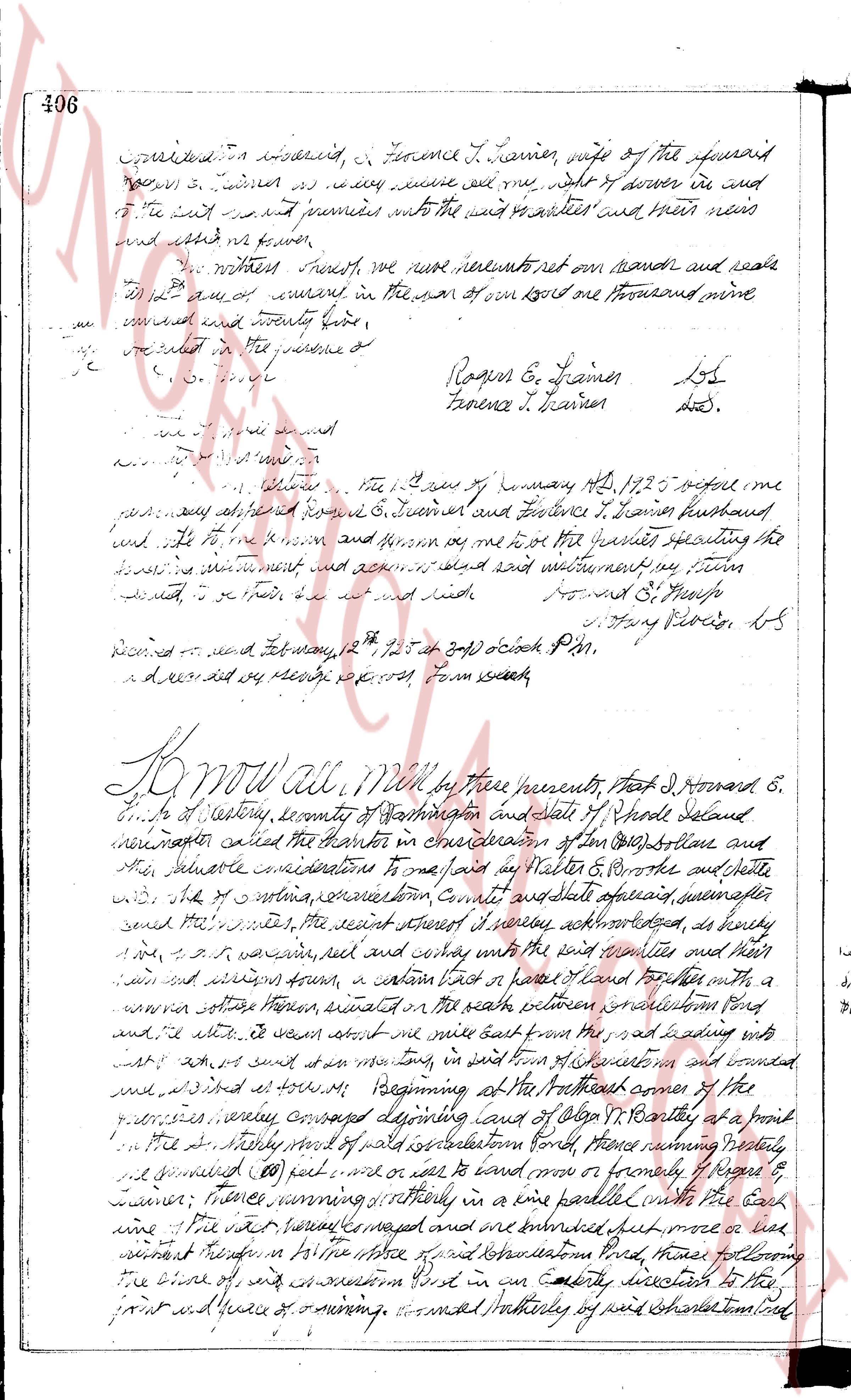
page 2
406
conceded on consideration of, & Florence T. Lainer, wife of the aforesaid
Roger S. Lainer as my name and seal and my act & deed of conveyance in and
of the said lot and premises unto the said grantees and their heirs
and assigns forever.
We therefore certify, we have hereunto set our hands and seals
this 1st day of January in the year of our Lord one thousand nine
hundred and twenty four.
Signed sealed and delivered in the presence of
[signatures]
Roger S. Lainer L.S.
Florence T. Lainer L.S.
[illegible]
State of Rhode Island
County of Kent ss:
I, [name], the 1st day of January AD 1924 before me
personally appeared Roger S. Lainer and Florence T. Lainer husband
and wife to me known and known me to be the parties executing the
foregoing instrument and acknowledged and declared my swim
to be their free act and deed etc.
[signature] Howard S. [name]
[signature] Harry Ploder, L.S.
Recorded and filed May 12th 1924 10 oclock PM.
I declare that my reading is correct from search.
Know all Men by these presents, That I Howard S.
[name] of Coventry, county of Kenton, and state of Rhode Island
hereinafter called the grantor in consideration of ten dollars ($10) and other
valuable considerations to one side in Walter B. Potter & Walter
and wife, of the city of providence County and state aforesaid, hereinafter
called the grantees, the several parcels of land hereby acknowledged, as hereby
give, grant, bargain, sell and convey unto the said parties of the first part
their heirs and assigns from, a certain lot or piece of land for purposes with a
wooden cottage thereon, situated on the south side of [name] street
and file, it being about one acre more or less from the part of said lot leading
into said lot and said lot runs way long in said lot of [name] in bound and abound
as follows: Beginning at the Northeast corner of the
premises, running westward diverging course of [name] R. Bentley at a point
on the easterly side of said settlement road, thence running westerly
it measured 80 feet and then east or south more or formerly of Roger S.
Lainer; thence running northerly in a line parallel with the East line
of the said parcels measured and ran until we encountered first more or less
a wall running therefore in a line north and east settlement road, thence following
the line of said settlement road in an easterly direction to the
first and square of running, bounded northerly of said settlement road
page 3
400
entitled "Plan of Improvement along central beach, Charlestown, R.I." dated
December, 1963, exhibits fifty feet to the north, October 1979, Roscoe and Louise Engle"
said premises are fourteen units in the form banks offices in said form of
residential units that residential units, their needs and services, shall have the right
to have full and complete use and enjoyment and to said lot or start or
on the premises, with all easements, rights of way of water or water
on the premises, with all easements leading to the public highway and as well
the right of way leading to the beach and also the right of way leading
from the road to the beach under piers and any other protection of said
beach. Which, if at any time we desire to build for such purpose, that we wanted
to furnish, can and shall furnish necessary equipment and agree to pay
for the same and our heirs and assigns that the said services
their needs and uses and utilities, and street lights to the said parcels, their
needs and uses and utilities, where the cost of any of request in each upon
necessary, the sum of $100.00 for each unit shall be equally shared
among the residents and applied as per the needs, their needs and
services, in said plan and with further additions to the care and maintenance
of the road and other facilities that may be designated for
service work, and the wide-ways are to be paved in durable made
as in and above and the promised houses designed, and in
case of the presence to make any improvements within one year after
the date hereof, then and there we covenant that the residents,
their heirs and assigns, to use and enjoy the premises as rented
units and apartments, in this manner it is true none properties published
in said manner of development are such since such work, for three
successive years, and to become the owners or purchasers thereof at
any time.
C. I save and to hold, the saidly unity premises, with
all the rights, privileges and advantages thereunto belonging, unto
and to the said parties, their heirs and assigns forever.
Moreover for the following covenants and conditions namely:
1. In the case of a certificate of suitability and use of said lot for parcel
of land use the property, then and there to return and sign the deed, shall
be done in due time. Title in writing and shall have the first
option to purchase the same, with the understanding and with further
payment of the significant some the price in good faith, made and securely
paid to the said parties on his or her rights.
2. The above described premises shall used only as a site
for a dwelling house or on any survey conveyed, which dwelling
house shall be erected in the premises in accordance with the building
code as from time to time set out no portion of any building or
accessory structure (such included) shall approach the street or street
or scenic front, measure from said building line, nor shall any
structure of same nature or kind whatsoever approach the side lines
page 4
402
it aforesaid and for the consideration aforesaid, I Hattie M Throop,
do hereby release leave all my right dower in and to the said granted premises
unto the said said grantees, their heirs and assigns forever,
In witness whereof, we have signed our names and seals the
this 1st day of February In the year of our Lord one thousand eight hundred
and seventy four;
Signed sealed and delivered in the presence of
[Signature]
[Signature]
Conrad S Throop [Seal]
Hattie M Throop [Seal]
State of Rhode Island
County of Providence ss.
Before me, on this 1st day of February 1874, personally appeared
Conrad S Throop and Hattie M Throop, to me
known to be the parties executing the foregoing
instrument and acknowledged said instrument be their act and deed
to be their act and deed with
[Signature]
[Signature]
Justice of the Peace
received and recorded Feb 11, 1874 by [Signature] Clerk of Court
and recorded fee two dollars. Town Clerk
KNOW ALL MEN by these presents, That I Samuel
M [Name], of the Town of Westerly, county of Washington and state of
Rhode Island, scrivener called the Grantor in consideration of ten
dollars and other valuable consideration to me paid by Conrad S.
Throop of the Town of Westerly, county of Washington, and state of
Rhode Island, scrivener called the Grantee, the receipt whereof is
hereby acknowledged, do sell convey grant sell and
convey unto the said grantee and his heirs and assigns forever,
a certain lot or piece of land lying and abutting in the Town aforesaid
in county of Washington and state of Rhode Island, the same
being bounded and described as follows: beginning at a post on
the North east corner of Christian's field, in said town, and running at the
Southeasterly corner of said field now or formerly of Howard's Boundry line
and running in a Southeasterly direction with the said Boundry line
to a rock which said line is bounded (vis a simile) to a corner; thence
in an easterly direction at right angle with said Boundry line
The page as recorded