The instrument's own words
page 1 · read by Gemma vision
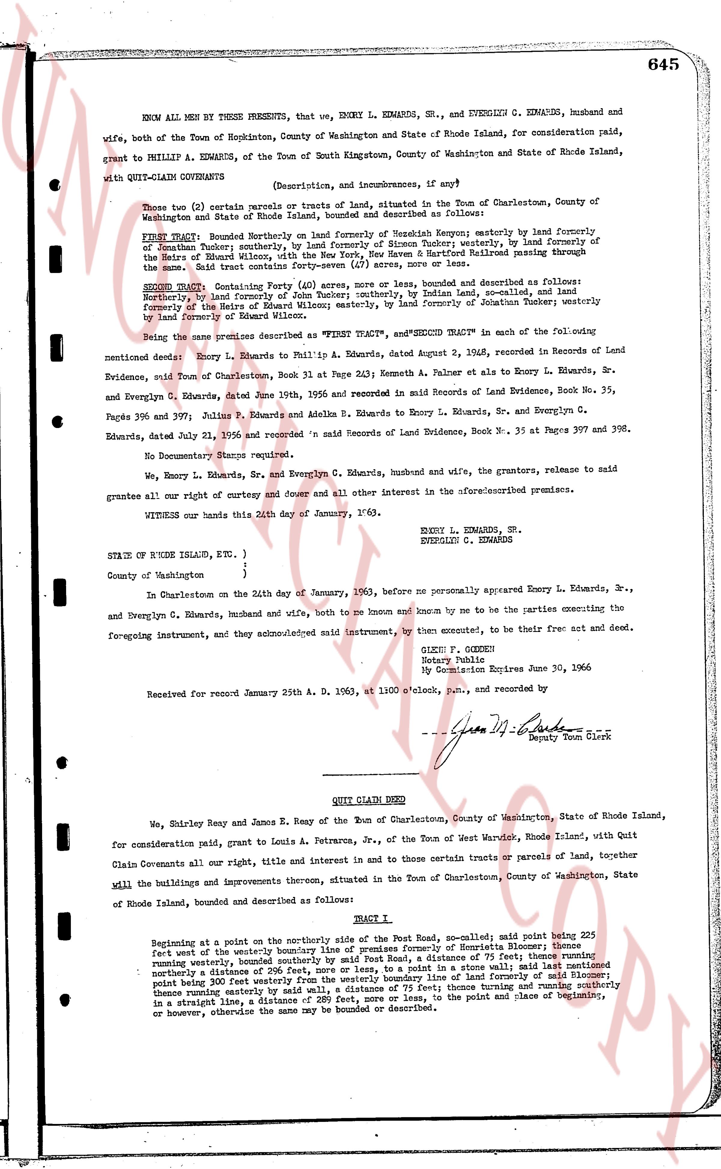
645
KNOW ALL MEN by these PRESENTS, that we, ENORY L. EDWARDS, SR., and EVERLYN G. EDWARDS, husband and wife, both of the Town of Hopkinton, County of Washington and State of Rhode Island, for consideration paid, grant to PHILLIP A. EDWARDS, of the Town of South Kingstown, County of Washington and State of Rhode Island, with QUIT-CLAIM COVENANTS
(Description, and incumbrances, if any)
Those two (2) certain parcels or tracts of land, situated in the Town of Charlestown, County of Washington and State of Rhode Island, bounded and described as follows:
FIRST TRACT: Bounded Northerly on land formerly of Menard Kenyon; easterly by land formerly of Jonathan Funker; westerly by land formerly of Simon Funker; westerly by land formerly of the Heirs of Ethel Wilson, and southerly by land formerly of Hubert Rolland traversing through the same. Said tract contains forty seven (47) acres, more or less.
SECOND TRACT: Containing Forty (40) acres, more or less, bounded and described as follows: Northerly by land formerly of Menard Kenyon; easterly by Boden land, so called, and land formerly of the Heirs of Ethel Wilson; easterly by land formerly of Jonathan Funker westerly by land formerly of Ethel Wilson.
Being the same premises described as "FIRST TRACT" and "SECOND TRACT" in the following mentioned deeds: Enory L. Edwards to Phillip A. Edwards, dated August 2, 1948, recorded in Records of Land Evidence, said Town of Charlestown, Book 31 at Page 243; Kenneth A. Palmer et als to Enory L. Edwards, Sr. and Everlyn G. Edwards, dated June 1956, and recorded in said Records of Land Evidence, Book No. 35, Pages 396 and 397; Julius P. Edwards and Adella B. Edwards to Enory L. Edwards, Sr. and Everlyn G. Edwards, dated July 21, 1956 and recorded in said Records of Land Evidence, Book No. 35 at Pages 397 and 398.
No Documentary Stamps required.
We, Enory L. Edwards, Sr. and Everlyn G. Edwards, the grantors, released to said grantee all our right and every other duty and dower all other interest in the aforementioned premises.
WITNESS our hands this 20th day of January, 1963.
ENORY L. EDWARDS, SR.
EVERLYN G. EDWARDS
STATE OF RHODE ISLAND, ETC. )
County of Washington )
In Charlestown on the 24th day of January, 1963, before me personally appeared Enory L. Edwards, Sr., and Everlyn G. Edwards, husband and wife, both to me known and known by me to be the parties executing the foregoing instrument, and they acknowledged said instrument, to be their free act and deed.
GLENN P. GOODEN
Notary Public
My Commission Expires June 30, 1966
Received for record January 25th A. D. 1963, at 11:00 o'clock, p.m., and recorded by
[Signature]
Deputy Town Clerk
----
QUIT CLAIM DEED
We, Shirley Reay and James E. Reay of the Town of Charlestown, County of Washington, State of Rhode Island, for consideration paid, grant to Louis A. Petrarca, Jr., of the Town of West Warwick, Rhode Island, with Quit Claim Covenants all our right, title and interest in and to those certain tracts or parcels of land, together will the buildings and improvements thereon, situated in the Town of Charlestown, County of Washington, State of Rhode Island, bounded and described as follows:
TRACT 1
Beginning at a point on the northerly side of the Post Road, so called; said point being 225 feet west the westerly boundary line of premises formerly of Henrietta Blomer; thence running westerly, bounded southerly by said Post Road, a distance of 75 feet; thence turning northerly a distance of 296 feet, more or less, to a point in a stone wall; thence turning easterly point being 382 feet westerly boundary line of land formerly of said Blomer; thence turning easterly by said wall, a distance of 75 feet; thence turning and running southerly in a straight line, a distance of 298 feet, more or less, to the point and place of beginning, or however, otherwise the same may be bounded or described.
page 2 · read by Gemma vision
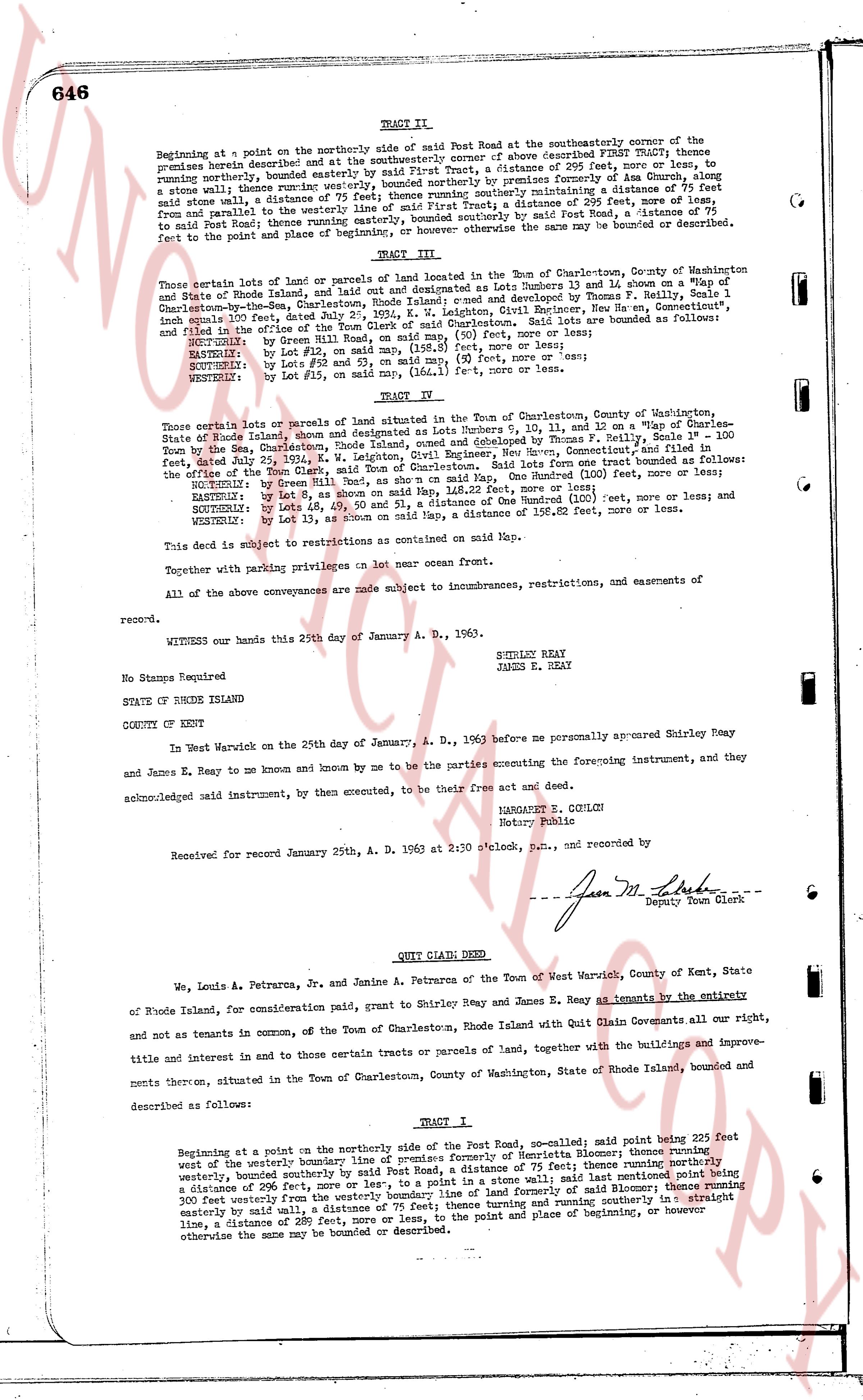
TRACT II.
Beginning at a point on the northerly side of said Post Road at the southeasterly corner of the premises heretofore described FIRST TRACT; thence easterly and at the southeasterly corner of above described FIRST TRACT; thence easterly, running northerly, bounded easterly by said First Tract, a distance of 295 feet, more or less, to a stone wall; thence running westerly; bounded northerly by a distance formerly of 75 feet and from parallel to the westerly line of said First Tract, a distance of 75 feet, more or less, to said stone wall; a distance of 75 feet; thence running southerly maintaining a distance of 75 feet from and parallel to the westerly line of said First Tract, a distance of 75 feet, more or less, to said Post Road; thence west along said Post Road, a distance of 75 feet, to the point and place of beginning, or otherwise the same may be bounded or described.
TRACT III.
Those certain lots of land or parcels of land located in the Town of Charlestown, County of Washington and State of Rhode Island, and on the plat designated as Lots Numbers 13 and 14 show on a Map of "The Charlestown-by-the-Sea, Charlestown, Rhode Island" owned and developed by Thomas F. Reilly, Scale 1" = 100 inches equal 100 feet, dated July 2, 1952, Being and Including the following: Lot 13, a distance of 110 feet, more or less, to the point and place of beginning of said Charlestown. Said lots are bounded as follows:
NORTHWESTLY: by Green Hill Road, on said Map, a distance of 110 feet, more or less;
NORTHEASTLY: by Lot 12, on said Map, a distance of 98 1/2 feet, more or less;
SOUTHEASTLY: by Lots no 92 and 53, on said Map, 90 feet, more or less;
SOUTHWESTLY: by Lot F15, on said Map, 110 feet, more or less;
WESTERLY: by Lot 13, as shown on said Map.
TRACT IV.
Those certain lots or parcels of land situated in the Town of Charlestown, County of Washington, State of Rhode Island, shown and designated as Lots Numbers 9, 10, 11, and 12 on a Map of "Charlestown-by-the-Sea, Charlestown, Rhode Island" owned and developed by Thomas F. Reilly, Scale 1" = 100 feet, dated July 2, 1952, E. W. Leighton, Civil Engineer, New Bern, North Carolina, and filed in the office of the Town Clerk, Charlestown, Rhode Island. Said lots are bounded as follows:
NORTHWESTLY: by Green Hill Road, as shown on a said Map, One Hundred (100) feet, more or less;
EASTERLY: by Lot 8, as shown on said Map, a distance of One Hundred (100) feet, more or less;
SOUTHEASTLY: by Lot 13, as shown on said Map, a distance of One Hundred (100) feet, more or less;
WESTERLY: by Lot 13, as shown on said Map, a distance of 158.62 feet, more or less.
This deed is subject to restrictions as contained on said Map.
Together with parking privileges on lot near ocean front.
All of the above conveyances are made subject to improvements, restrictions, easements and of easements of record.
WITNESS our hands this 24th day of January A. D. 1963.
SHIRLEY REAY
JAMES E. REAY
NO Stamps Required
STATE OF RHODE ISLAND
COUNTY OF KENT
In West Warwick on the 24th day of January, A. D. 1963 before me personally appeared Shirley Reay and James E. Reay state Rhode Island, and by me to know and known by me to be the parties executing the foregoing instrument, and they acknowledged said instrument, and by them executed, to be their free act and deed.
MARGARET E. GULLY
Notary Public
Received for record January 25th, A. D. 1963 at 2:30 o'clock, P.M., and recorded by
[Signature]
Deputy Town Clerk
----
QUIT CLAIM DEED
We, Louis A. Petrarca, Jr. and Janine A. Petrarca of the Town of West Warwick, County of Kent, State of Rhode Island, for consideration paid, grant to Shirley Reay and James E. Reay as tenants by the entirety and not as tenants in common, of the Town of Charlestown, Rhode Island with Quit Claim Covenants all our right, title and interest in and to those certain tracts or parcels of land, together with the buildings and improvements thereon, situated in the Town of Charlestown, County of Washington, State of Rhode Island, bounded and described as follows:
TRACT 1
Beginning at a point on the northerly side of the Post Road, so-called; said point being 225 feet west of the westerly boundary line of premises formerly of Henrietta Blomer; thence running northerly, bounded southerly by said Post Road, a distance of 75 feet; thence running northerly a distance of 296 feet, more or less, to a point in a stone wall; and said northerly point being 300 feet easterly from the westerly boundary line of premises formerly of said Blomer; thence running 300 feet easterly until reaching the westerly boundary line of premises formerly of said Blomer; thence running easterly by said wall, a distance of 75 feet; thence running and running southerly in a straight line, a distance of 289 feet, more or less, to the point and place of beginning, or however the same may be bounded or described.
The page as recorded