The instrument's own words
page 1
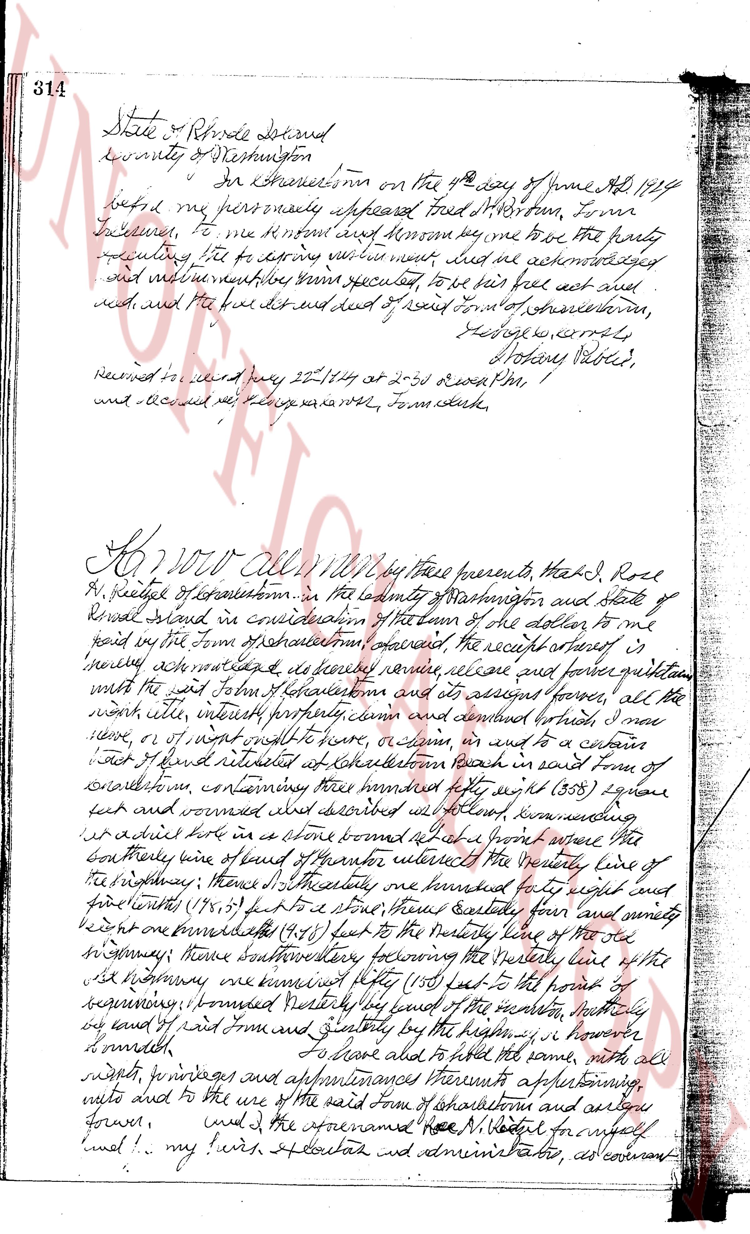
314 State of Rhode Island
county of Washington
In Charlestown on the 4th day of June AD 1794
before me personally appeared Fred W Norton, from
Francestown, to me R H Norton and M Noon say me to have the party
presenting their letters to derive certain mark that he acknowledged
and well known to be his free act and
deed and the following deed of seed from town of charlestown,
Hedge s courtly
Notary Public.
Received to record May 22nd 1844 at 10:30 o clock PM,
and all fees paid by h l h l x v x r n t r, Town clerk.
Know All Men by these presents that I, Roll
R. Vestey of Charlestown in the county of Washington and State of
Rhode Island in consideration of the sum of one dollar to me
paid in the town of charlestown aforesaid, the receipt whereof is
hereby acknowledged I do hereby remise, release and forever quitclaim
unto the said John H Charlestown and his assigns forever, all the
right title interest property claim and demand forever, that I may
have, or of ought would have have, acquire in and to a certain
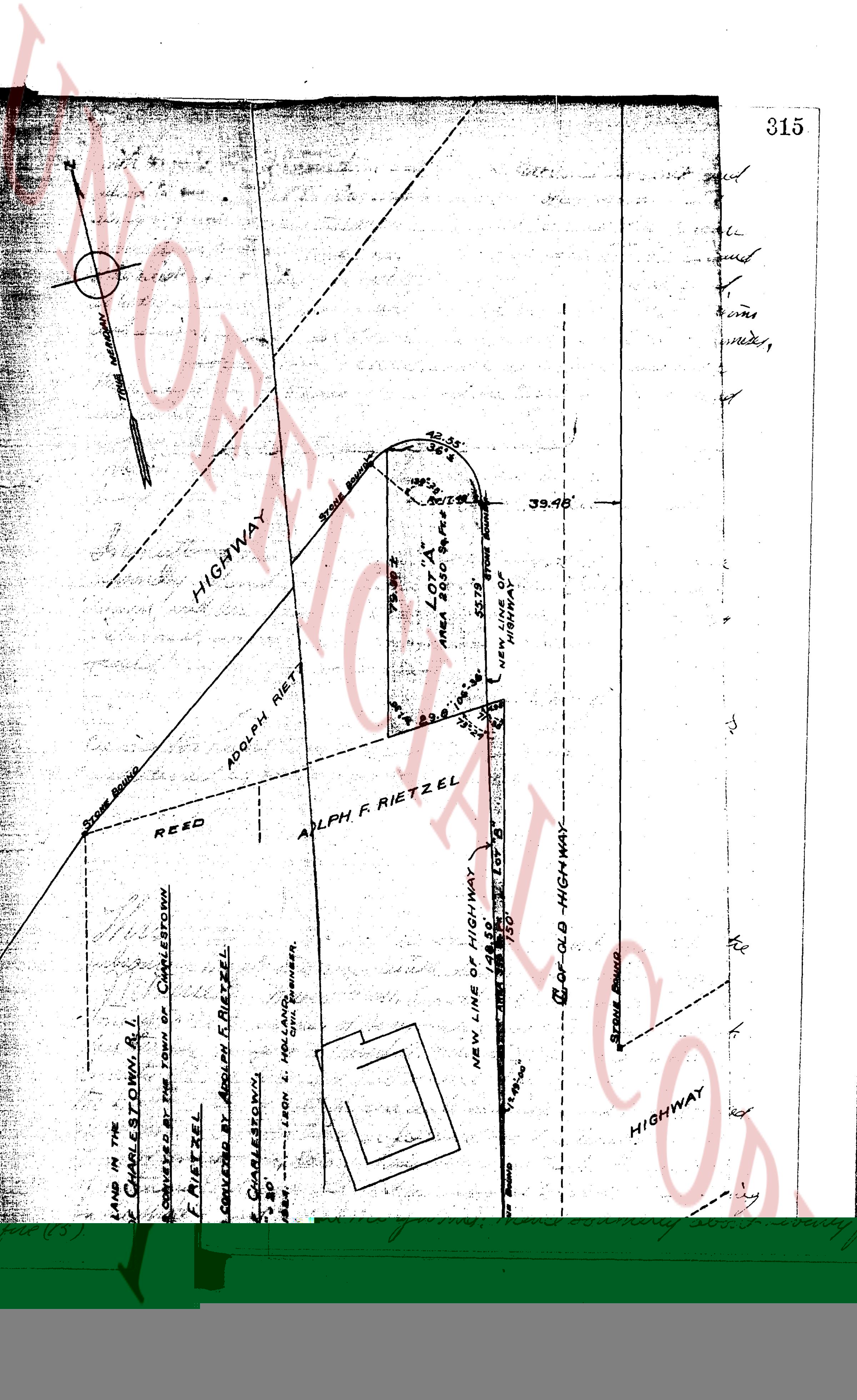
tract of land situated at Charlestown beach in said town of
charlestown, containing three hundred eighty eight (388) square
feet and bounded as described above knowing understanding
that a small lot in a shore bounded south east a front square the
south westerly line of land of thantor intersects the westerly line of
the highway; thence north easterly three hundred eighty eight and
five tenths (388.5) feet to a stone thence easterly four hundred forty nine
and eight one hundredths (449.08) feet to the westerly line of the old
highway thence south westerly four hundred eighty four feet to the point of
beginning; bounded westerly by land of the security north easterly
by land of paid from and greatly by the highway; however
I reserved
To share and hold the same, with all
rights, privileges and appurtenances thereunto appertaining aforesaid,
mills and to the use of the said town of Charlestown and always
forever.
And I, the aforesaid Rev N Vestey for myself
and I my heirs executors and administrators, do covenant
page 2
646
TRACT II.
Beginning at a point on the northerly side of said Post Road, so-called; said point being the southeasterly corner of the
premises heretofore described FIRST Tract, and at the southeasterly corner of above described FIRST Tract; thence
running northerly, bounded easterly by said First Tract, a distance of 295 feet, more or less; to
a stone wall; thence running westerly; bounded northerly by premises formerly of Asa Blossom, to a stone wall;
from and parallel to the parallel side to the western limits of said First Tract, a distance of 75 feet, more or less;
to said Post Road; thence running southeasterly, along the northerly side of said Post Road, a distance of 75 feet,
to the point of place and place of beginning, or however the same may be bounded or described.
TRACT III.
Those certain lots of land or parcels of land located in the Town of Charlestown, County of Washington
and State of Rhode Island, and laid out as designated Lots 13 and 14, also shown on a Map of
Charlestown-on-the-Rhode Island, Charlestown, Rhode Island; and laid out and developed by Thomas F. Kelly, Scale 1" = 100
inches each (old feet), dated July 2nd, 1952, and further described as following: Being two (2) lots, more or less;
and first line of entry of said lots is on the northerly side of said Charlestown, said lots are bounded as follows:
NORTH-EASTLY: by Green Hill Road, on said Map, a distance of 100 feet, more or less;
NORTH-WESTLY: by Lot 12, as shown on said Map, a distance of 98 feet, more or less;
SOUTH-EASTLY: by Lots 92 and 53, on said map, 90 feet, more or less;
SOUTH-WESTLY: by Lot 15, on said map, 111.4 feet, more or less;
WESTERLY: by Lot 13, as shown on said Map.
TRACT IV.
Those certain lots or parcels of land situated in the Town of Charlestown, County of Washington,
State of Rhode Island, shown and designated as Lots 5, 9, 11, and 12 on a Map of Charles-
town by the Geo. Saucier, draftsman, laid out and developed by Thomas F. Kelly, Scale 1" = 100 feet,
done by the Geo. Saucier, draftsman, dated July 25th, 1952, E. W. Leighton, Civil Engineer, New Bernswich, and certified
to the office of the Town Clerk, July 25th, 1952, K. W. Leighton, Notary Public, said lots are bounded as follows:
NORTH-EASTLY: by Green Hill Road, as shown on said Map, One hundred (100) feet, more or less;
EASTERLY: by Lot 6, as shown on said Map, a distance of One Hundred (100) feet, more or less;
SOUTHEASTLY: by Lot 11, as shown on said Map, a distance of 158.62 feet, more or less;
WESTERLY: by Lot 13, as shown on said Map, a distance of 158.62 feet, more or less.
This deed is subject to restrictions as contained on said Map.
Together with parking privileges on lot near ocean front.
All the above of the conveyances are made subject to imbrancements, restrictions, and easements of
record.
WITNESS our hands this 24th day of January A. D., 1963.
No Stamps Required
STATE OF RHODE ISLAND
COUNTY OF KENT
In West Warwick on the 25th day of January, A. D., 1963 before me personally appeared Shirley Reay
and James E. Reay to me and known by me and known by me to be the parties executing the foregoing instrument, and they
acknowledged said instrument, by them executed, to be their free act and deed.
MARGARET E. GOULET
Notary Public
Received for record January 25th, A. D. 1963 at 2:50 o'clock, P.M., and recorded by
Jean M. Leblanc
Deputy Town Clerk
QUIT CLAIM DEED
We, Louis A. Petrarca, Jr. and Janine A. Petrarca, Jr. of the Town of West Warwick, County of Kent, State
of Rhode Island, for consideration paid grant, quit and release to Shirley Reay and James E. Reay as tenants by the entirety
and not as tenants in common, of the Town of Charlestown, Rhode Island with Quit Claim Conveyances all our right,
title and interest in and to those certain tracts or parcels of land together, with the buildings and improve-
ments thereon, situated in the Town of Charlestown, County of Washington, State of Rhode Island, bounded and
described as follows:
TRACT I
Beginning at a point on the northerly side of the Post Road, so-called; said point being 225 feet
west of the westerly boundary line of premises formerly of Henrietta Blossom; thence running
westerly, bounded northerly by said Post Road, a distance of 75 feet; thence running northerly
a distance of 296 feet, more or less, to a point in a stone wall; and said point being
200 feet westerly from the easterly boundary line of premises formerly of said Bloomer; thence running
200 feet westerly by said wall, a distance of 75 feet; thence running and running southerly in a straight
line, a distance of 289 feet, more or less, to the point of place and place of beginning, or however
otherwise the same may be bounded or described.
page 3
315
with the said John of Charlestown and assigns, that said John warrant and
defend the aforesaid premises unto the said John of Charlestown and
assigns forever, against the lawful claims and demands of all persons
whomsoever by his heirs and assigns. and Joseph H. Rittler husband
of the said Rose M. Rittler in consideration of the sum first aforesaid
do hereby release and forever quit claim unto the said John of Charlestown
and assigns, all my right title and interest in and to the aforementioned premises,
In testimony whereof we have hereunto set our hands and seals
this 16 day of July in the year of our Lord one thousand nine hundred
and twenty four.
Signed sealed and delivered in the presence of
Walter S. Underwood
Leon S. Smith
Rose M. Rittler L.S.
Joseph H. Rittler L.S.
On Ruttler, mass, on the 16th day of July A.D. 1924 before me
personally appeared Rose M. Rittler and Joseph H. Rittler to me
known and known by me to be the parties speculating the foregoing
instrument and did acknowledge and signed without mistake why they
requested to be their act and deed.
Francis R. Haniff
Notary Public L.S.
Received for record July 25, 1924 at 2-30 o'clock P.M.
and indexed by George G. Smith, Town Clerk
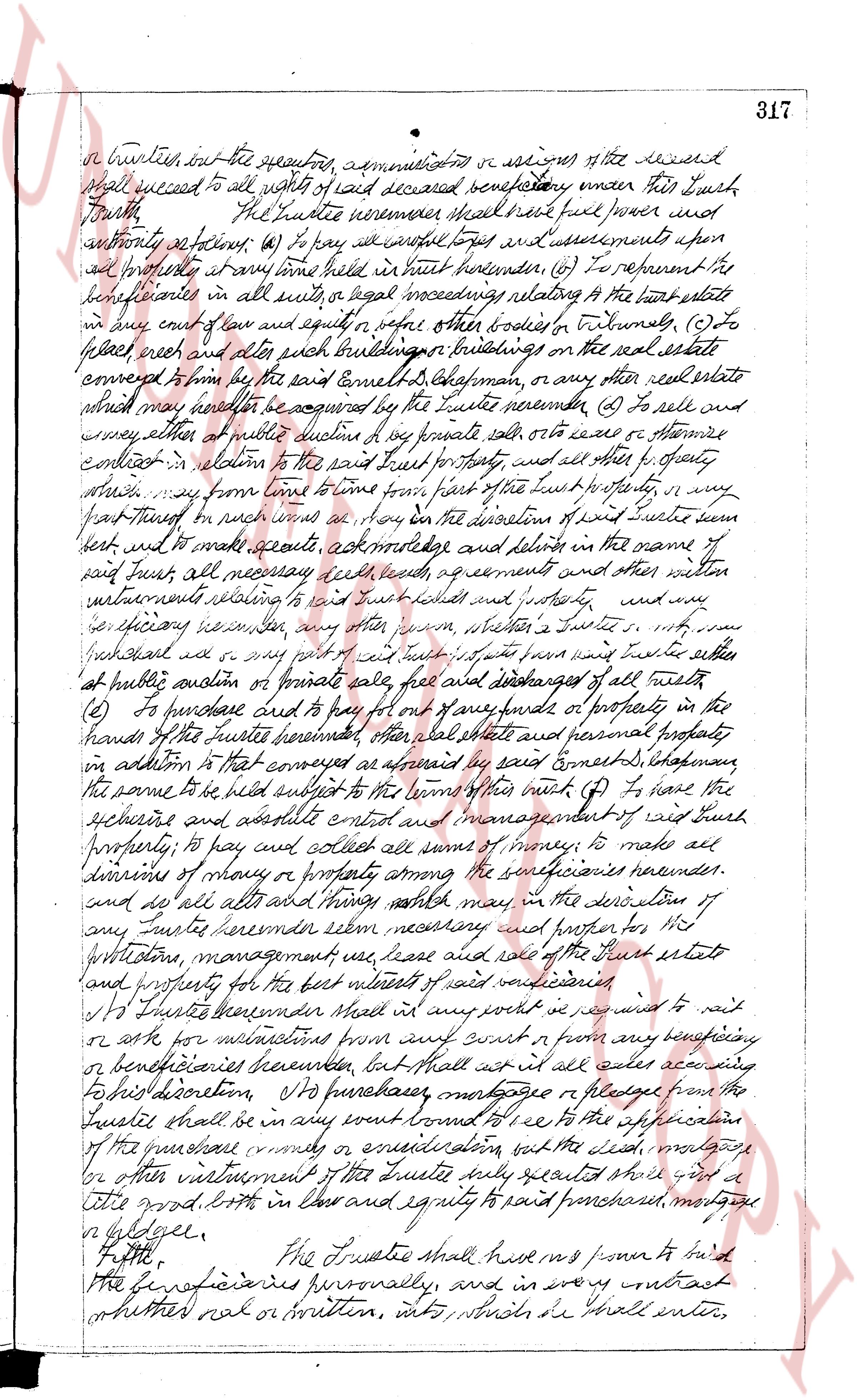
This Agreement and declaration of Trust made by the
undersigned herewith this twenty fifth day of April, A.D. 1923,
I. M. Cheereth, that whereas Ernest D. Chapman of North
Smithfield in the County of Providence and State of Connecticut
has this day conveyed to Albert A. Heunner of Providence in the
County of Providence and State of Rhode Island, as trustees of
the Baltic Club, by deed of date hereof handwritten, and to be recorded
herewith, a certain tract or parcel of land situated in the
Town of Johnston, State of Rhode Island, on the Northern shore
of Wataring Pond, bounded and described as follows: commencing
on the bank of said pond at the corner of lands of heirs of chase
Burdick and running Northwesterly along said Bedrock line
about seventy five (75) feet to a stone set in the ground;
thence Easterly about one hundred (100) feet to a stone
set in the ground; thence Southerly about seventy five (75)
The page as recorded