The Deed Walker · From Ninigret · Charlestown, Rhode Island land evidence, 1738 to today
Trail: 7221 › 7790 › 7791

8/27/1925 · MORTGAGE DISCHARGE · book 21 page 286 doc 7791

From LOEB JOSEPH
To WILKENING EDWARD, WILKENING HILDA
Premises none · Unmarked in bounds, marsh land (Hunter's Harbor, Charlestown)

Back — where this land came from

This instrument states no source of title that we have read yet.

The grantor's earlier acquisitions, by name — the man, not necessarily this land

◀ 1924 · MORTGAGE · WILKENING EDWARD; WILKENING HILDA → LOEB JOSEPH · book 21 p 283

Forward — where this land went

The grantee's later conveyances, by name — the man, not necessarily this land; the one that cites this deed as its source is the land

▶ 1925 · MORTGAGE · WILKENING EDWARD; WILKENING HILDA → MIKKONEN AINA · book 22 p 31
▶ 1930 · DEED · WILKENING EDWARD → WILKENING HILDA · book 24 p 75
▶ 1930 · MORTGAGE · WILKENING HILDA → JOHONESEN WILKELM · book 24 p 93
▶ 1937 · DEED · WILKENNING HILDA M; WILKENING HILDA → BEANE GEORGE R · book 27 p 76
▶ 1941 · DEED · WILKENING EDWARD → BOTKA LYDIA K · book 28 p 591

The instrument's own words

Attribution under review. The portal's file number is shared by more than one instrument, and the words below could not be placed with certainty on this one by their own evidence (page stamp, parties, dates); they may belong to a neighbouring instrument. Read them as the record of the page, not yet as this deed's own.
page 1
466 Abbie & Sarah Champlin 40.0 Abbie & Sarah Champlin 80.0 50.00 50.00 50.00 50.00 50.00 50.00 50.00 50.00 50.00 1 2 3 4 5 6 7 8 9 100.0 ft 192.00 ft 172.00 ft 180.00 ft 174.00 ft 170.00 ft 103.00 ft 165.00 ft 230.00 ft J Augustus Rogers Estate Grinnell & Devereux C H A R L E S T O W N P O N D 192.00 ft 200.00 ft 38.0 ft 100.0 ft 172.00 ft 180.00 ft 174.00 ft 170.00 ft 103.00 ft 165.00 ft 230.00 ft 309.39 ft Abbie & Sarah Champlin marsh UNMARKED IN BOUNDS HUNTER'S HARBOR IN THE TOWN OF CHARLESTOWN GEORGE A CARMICHAEL BECOMING TO BECOMING A CARMICHAEL SURVEYED AND DRAWN BY R. KRETTE NOVEMBER 1946. SCALE 1in = 40ft

The page as recorded
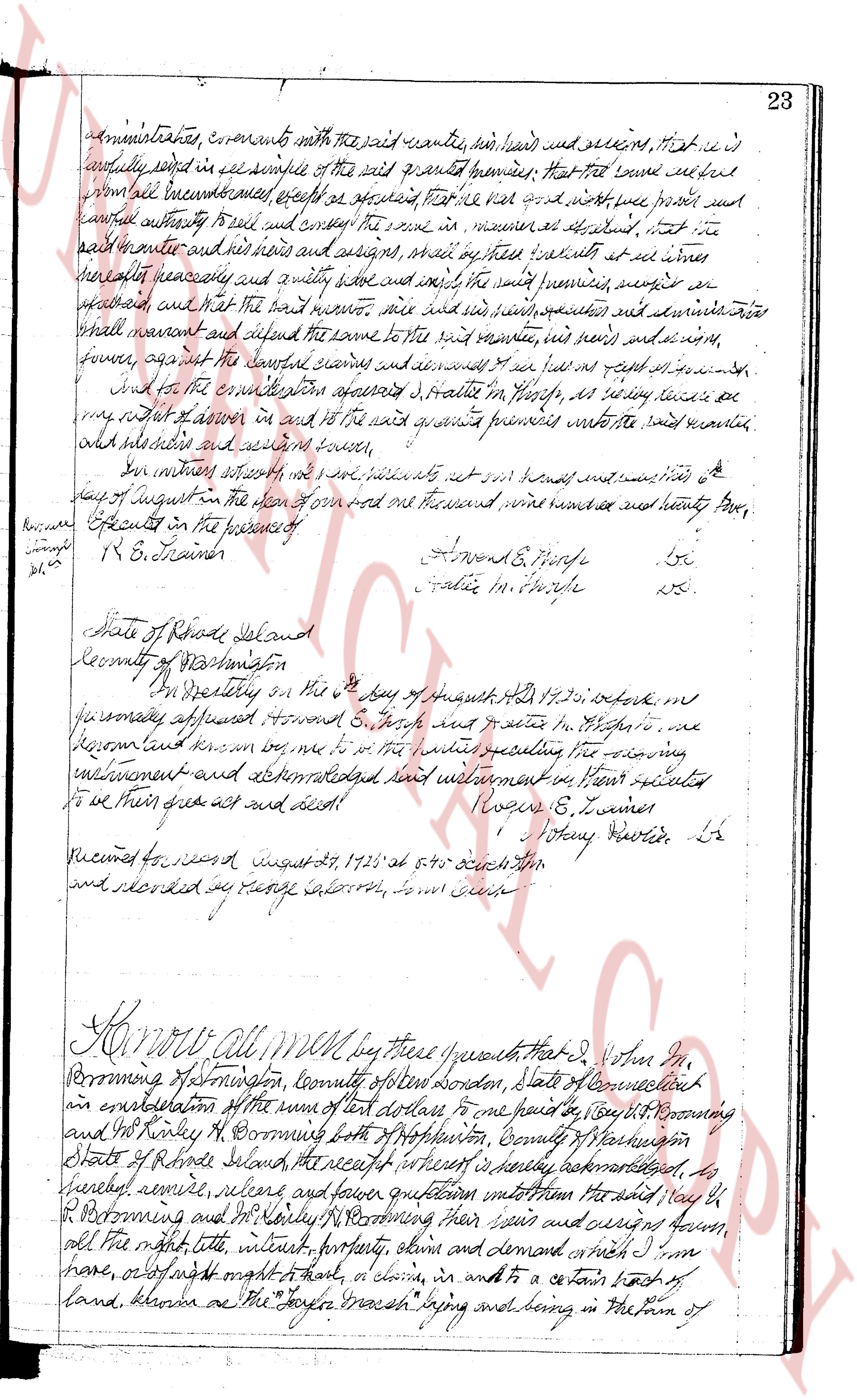
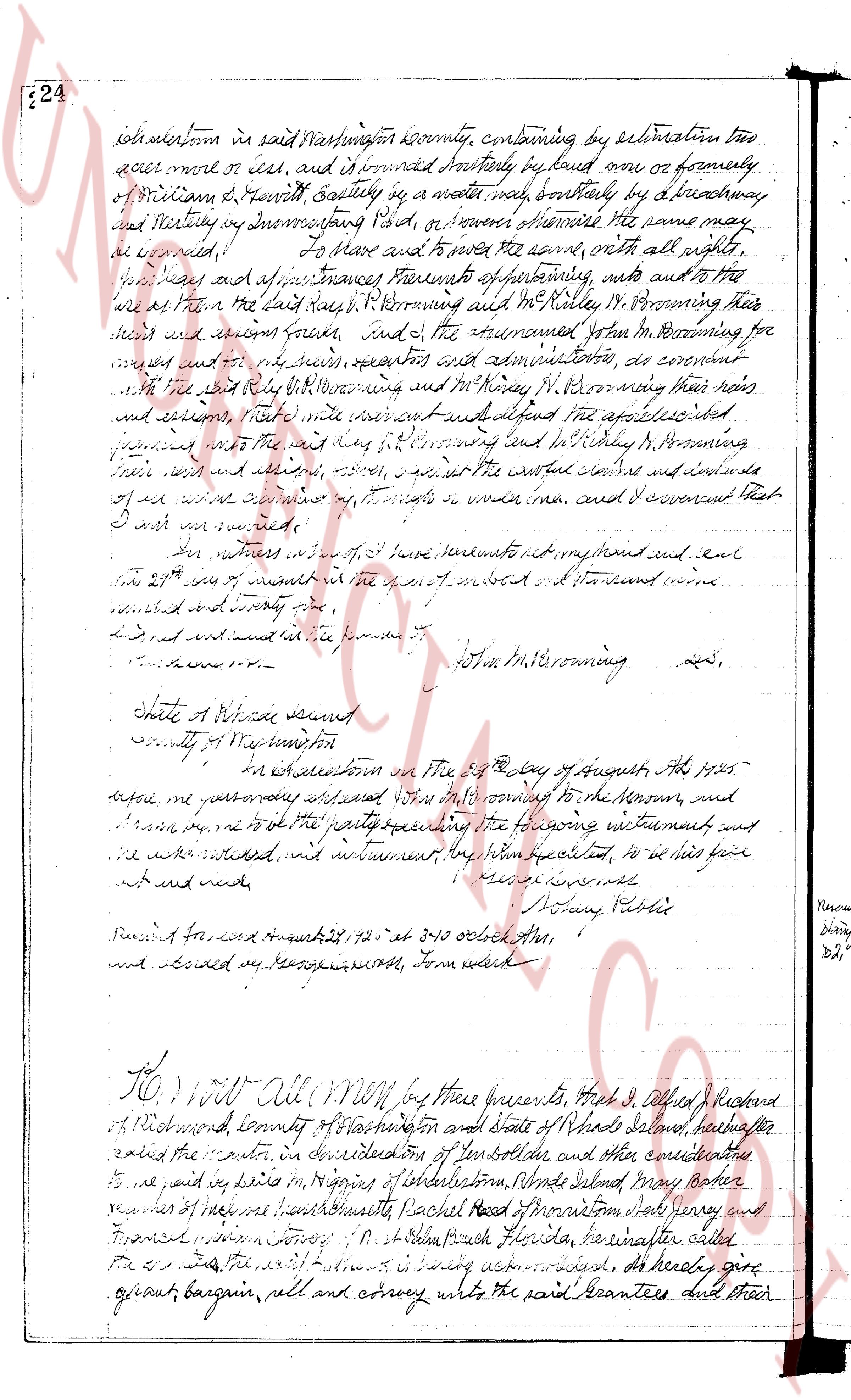
page 1page 2

deed_walker_v1.9_2026-10-10 · the index is the town's own (i2l.uslandrecords.com); transcripts, chains and the assessor's cards are the Perry Machine's reading of it. Where the record we hold runs out, the page says so.