The instrument's own words
page 1 · read by Gemma vision
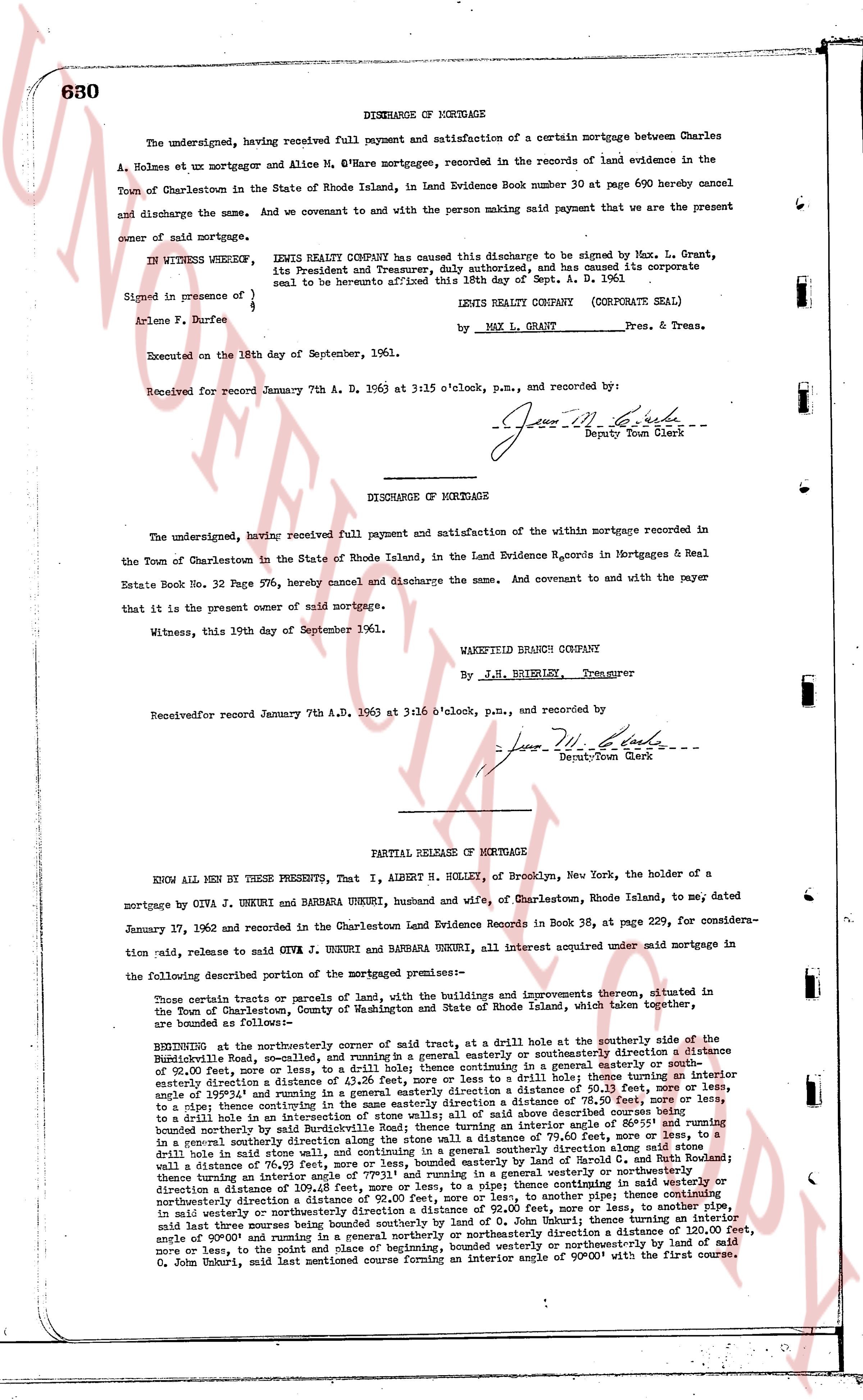
630 DISCHARGE OF MORTGAGE
The undersigned, having received full payment and satisfaction of a certain mortgage between Charles A. Holmes et ux mortgagor and Alice M. O'Hare mortgagee, recorded in the records of land evidence in the Town of Charlestown in the State of Rhode Island, in Land Evidence Book number 30 at page 690 hereby cancel and discharge the same. And we covenant to and with the person making said payment that we are the present owner of said mortgage.
IN WITNESS WHEREOF, LENIS REALTY COMPANY has caused this discharge to be signed by Max. L. Grant, its President and Treasurer, duly authorized, and has caused its corporate seal to be hereunto affixed on the 18th day of Sept. A. D. 1961
Signed in presence of
Arlene F. Durfee
LENIS REALTY COMPANY (CORPORATE SEAL)
by Max L. Grant Pres. & Treas.
Executed on the 18th day of September, 1961.
Received for record January 7th A. D. 1963 at 3:15 o'clock, p.m., and recorded by:
[Signature] Deputy Town Clerk
----
DISCHARGE OF MORTGAGE
The undersigned, having received full payment and satisfaction of the within mortgage recorded in the Town of Charlestown in the State of Rhode Island, in the Land Evidence Records of Mortgages & Real Estate Book No. 32 Page 576, hereby cancel and discharge the same. And covenant to and with the payer that it is the present owner of said mortgage.
Witness, this 19th day of September 1961.
WAKEFIELD BRANCH CO.
By J.H. BRERELY, Treasurer
Receivedfor record January 7th A.D. 1963 at 3:16 o'clock, p.m., and recorded by:
[Signature] Deputy Town Clerk
----
PARTIAL RELEASE OF MORTGAGE
KNOW ALL MEN BY THESE PRESENTS, That I, ALBERT H. HOLLEY, of Brooklyn, New York, the holder of a mortgage by Oiva J. UNKURI and BARBARA UNKURI, husband and wife, of Charlestown, Rhode Island, to me, dated January 17, 1962 and recorded in the Charlestown Land Evidence Records in Book 38, at page 229, for consideration said, release to said Oiva J. UNKURI and BARBARA UNKURI, all interest acquired under said mortgage in the following described portion of the mortgaged premises:
Those certain parcels or parcels of land, with the buildings and improvements thereon, situated in the Town of Charlestown, County of Washington and State of Rhode Island, which taken together, are bounded as follows:
BEGINNING at the northeasterly corner of said lot at a strut, at a drill hole at the southerly side of the Buckindell Road, so called, and running in a general easterly or southeasterly direction a distance of 50.00 feet, more or less to a strut, thence running in a general northerly or northeasterly direction a distance of 43.26 feet, more or less to a drill hole thence running an interior easterly direction a distance of 11.00 feet, more or less to a strut, thence running in a general northerly direction a distance of 199.31 feet and running in a general easterly direction a distance of 78.50 feet, more or less to a stone, thence easterly along the northerly line of said lot a distance of 78.50 feet, more or less to a strut, thence continuing an interior easterly direction to a drill hole in an intersection of stone walls of all said line above bound 111.11 feet and running a southeast boundary northerly side of said lot at an interior angle of 86°55' and running a southeast boundary northerly side of said lot at an interior angle of 86°55' and running a general southerly direction along the stone wall a distance of 79.60 feet, more or less to a strut, thence running in a general southwesterly direction along said stone wall side a distance of 76.50 feet, more or less, bounded easterly by land of Harold C. and Ruth A. Holmes thence running an interior general southwesterly direction a distance of 109.48 feet, more or less, to a pipe thence continuing in said westerly or northeasterly direction a distance of 111.11 feet, more or less, to a strut, thence running in a general easterly direction in said westerly or northeasterly direction a distance of 92.00 feet, more or less, to another pipe, said last three courses being bounded westerly by land of Harold C. and Ruth A. Holmes thence running a general northerly or northeasterly direction a northeasterly direction a distance of 120.00 feet, angle of 90°00' and running a general northerly or northeasterly direction a distance of 120.00 feet, angle of 90°00' and running a general northerly or northeasterly direction a distance of 120.00 feet, more or less, to the point and place of beginning, bounded westerly or northeasterly by land of O. John Bobury, said last mentioned course forming an interior angle of 90°00' with the first course.
The page as recorded