The instrument's own words
page 1
247
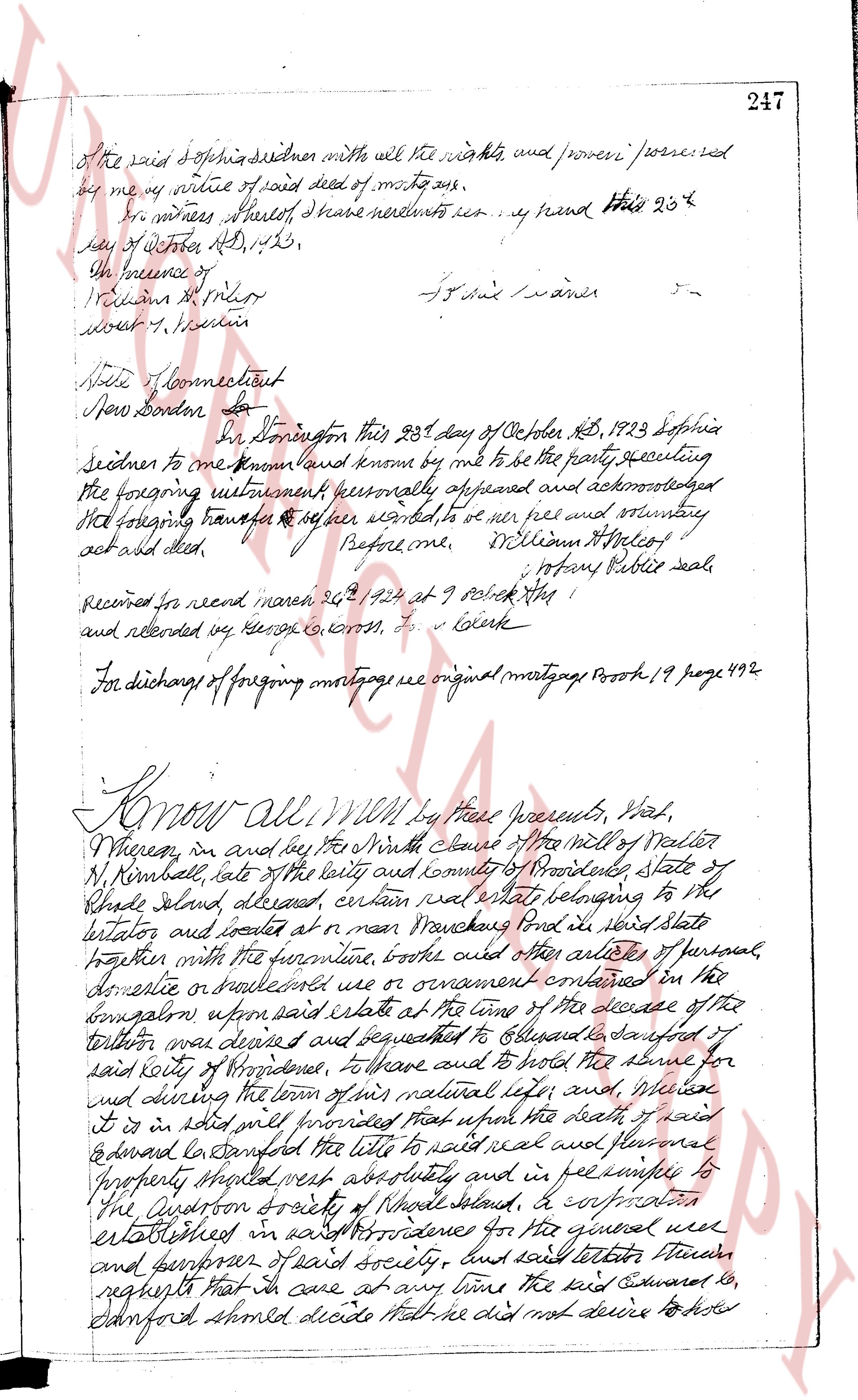
Of the said Sophia Sedner with all the rights, and proveni / processed
by me by virtue of said deed of mortgage.
As in witness whereof, I have hereunto set my hand this 25th
day of October AD, 1923.
In the presence of
[Signature]
[Signature]
For said waiver -
State of Connecticut
New London ss.
On Donington this 25th day of October AD, 1923 Sophia
Sedner to me known and known by me to be the party executing
the foregoing instrument personally appeared and acknowledged
the foregoing transfer to be her free and voluntary
act and deed. Before me, William H. Halcox
Notary Public seal
Recorded for record March 26, 1924 at 9 o'clock AM
and recorded by [Signature] C. L. Clark
Clerk
For discharge of foregoing mortgage see original mortgage Book 19 page 492
Know All MEN by these presents, That,
Whereas, in and by the last Will and testament of Walter
N. Kimball, late of the city and county of Providence State of
Rhode Island, deceased, certain real estate belonging to the
testator and located at or near Warwick in said State
together with the furniture, books and other articles of personal,
domestic or ornamental use or ornament contained in the
buildings upon said estate at the time of the decease of the
testator was devised and bequeathed to Edward, his daughter of
said city of Providence, to have and to hold the same for
and during the term of his natural life and, whereas
it is sold and will provide that upon the death of said
Edward Edward Sanford the title to said real and personal
Property should vest absolutely and in fee simple to
The Audubon Society of Rhode Island, a corporation
established in Providence for the general use
and benefit of said society, and said testator further
requests that in case that at any time the said Edward lo
Sanford should decide that he did not desire to have
page 2
248 said property for his own personal use, and said the western
Society of Rhode Island shall have accepted said gift as is
in about my will provided, then said Edward & Sanford
have released and quitclaimed their interest herein to said
society for its used well and purposes; and, Whereas
said the western society of Rhode Island had half tore
accepted and writ in manner and form as is in said will
provided, and said Edward & Sanford has decided lately
once more to take back said property for his own personal use.
I, M. H. tate, of said East Greenwich, of said city of
Providence, hereinafter called the grantor, in consideration of
the premises already once paid (8,10) to me hand my said
the western society of Rhode Island, hereinafter called
the grantee, receipt whereof is hereby acknowledged, as
survey conveys, release and found & quitclaim into the
said grantee, its successors and assigns forever, all the
said right, title, interest, property claim also demand which
I may have, or right ought to have, or claim in and
to that which is described as follows: All that piece of land, together with all the
buildings and improvements thereon which is situated in the
town of East Greenwich, in the county of Providence and
State of Rhode Island, bounded and described as follows:
Commencing at a point near the southerly shore of Matunuck
Pond, so called, one hundred eighty eight feet and 7/100 (188.70) feet
Easterly from the corner of a stone wall of land belonging
to the heirs of S. P. Potter, thence following the shore of said
Matunuck Pond to a stone bound to land once or formerly
of Edward & Hope Potter, thence turning and running southerly
bounded Easterly by land of said Edward & Hope Potter
one hundred seventy six and 31/100 (176.31) feet to a stone
bound; thence turning and running Easterly bounded
Northerly by said Edward & Hope Potter land ninety nine and
7/100 (99.70) feet to a stone bound; thence turning and
running SW bounded Easterly by land once or
formerly of Edward L. Potter, about one thousand four
hundred twenty one and 73/100 (1421.73) to a corner of
a stone wall; thence turning and running southwesterly
about one hundred thirty four and 91/100 (134.91) feet to the
corner of the turning bound; thence turning and running
Northerly about fifty five and 26/100 (55.26) feet along
the line of said turning ground; thence turning and
running southeasterly about forty three and 33/100 (43.33) feet
along line of said turning ground; thence turning
page 3
249
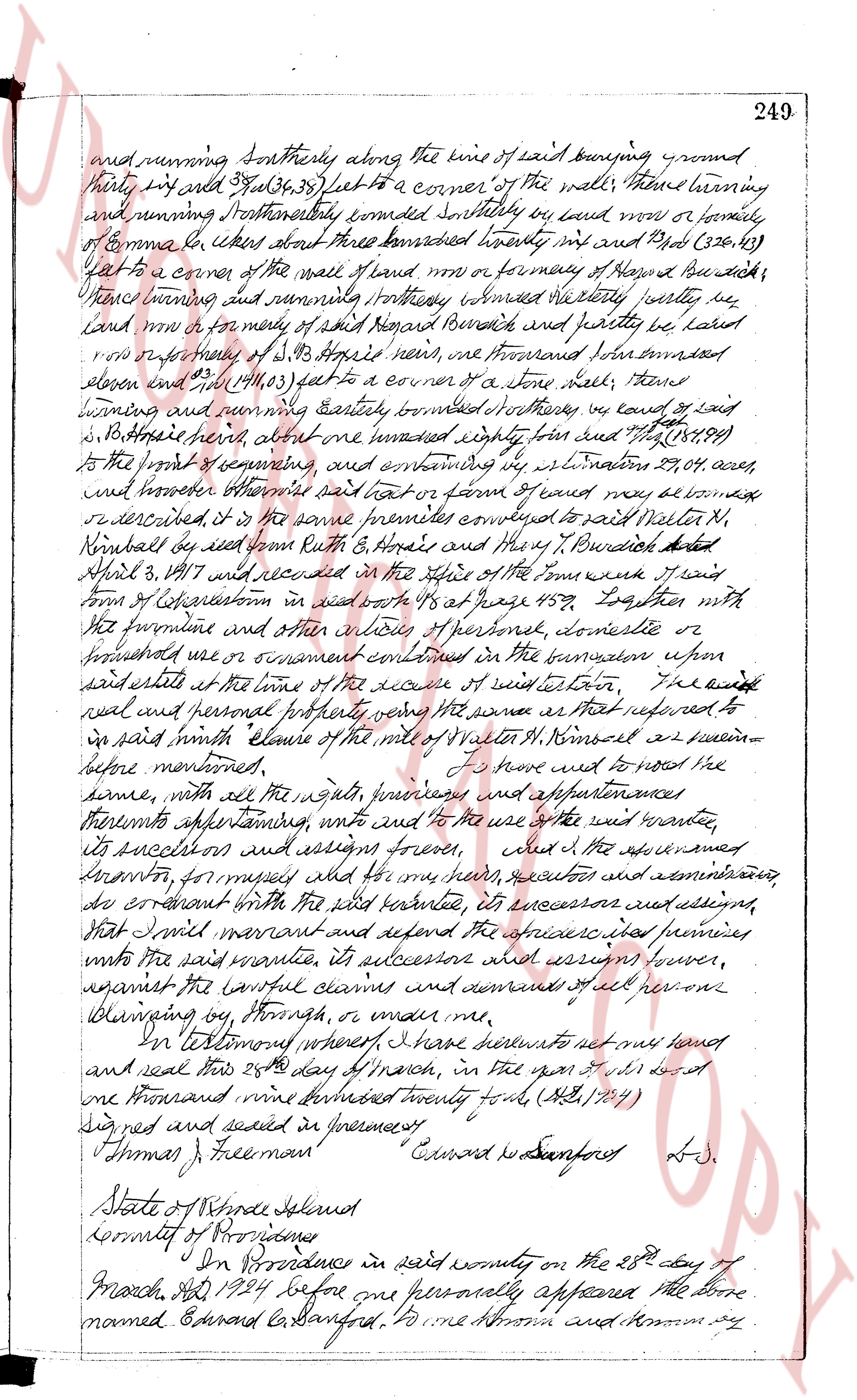
and running southerly along the lines of said burying ground
thirty first rods 37(31.36.38) feet to a corner of the wall, thence turning
and running northerly and easterly southerly by land now or formerly
of Emma [?] about three hundred twenty six and 2/10 (326.41)
feet to a corner of the wall of land now or formerly of Roger B Burdick;
thence turning and running easterly ninety ninety four feet by
land now or formerly of said Roger Burdick and partly by land
now or formerly of S. J. Rogers near, one thousand seven hundred
eleven and 2/10 (1711.05) feet to a corner of a stone wall, thence
turning and running easterly seventy southerly however land now or
formerly of [?] about one hundred eighty five and 7/10 (185.89)
feet to the point of commencing and extending by L. S. limitation 29.04 acres,
and however otherwise said tract or part or piece of land may be con-
described, is the same premises conveyed to said Walter N.
Kimball by said John H. Rhode and they T. Burdick dated
April 3, 1817 and recorded in the office of the town said
town of Coventry in said book 45 page 156, together with
the furniture and other articles of personal, domestic or
industrial use or ornament contained in the tenement upon
said estate at the time of the execute of this indenture, The
said real and personal property being the same as that referred to
in said writ of claim of the wrist of Walter N. Kimball as seen in
before mentioned, I do here wed to lease the
same, with all the rights, privileges, premises and appurtenances
thereto appertaining, unto and to the use the said walter
its successors and assigns forever, and I the aforesaid
grantor, for myself, my heirs, executors and administrators,
do covenant with the said grantee, its successor and assigns,
that I will warrant and defend the aforesaid premises
unto the said grantee, its successors against however,
against the lawful claims and demands of all persons
claiming by, through, or under me,
In testimony whereof, I have hereunto set my hand
and seal this 28th day of March, in the year of our lord
one thousand nine hundred twenty four, (M.C. 1924)
Signed and sealed in presence of
Thomas J Freeman Edward G Sanford L.W.
State of Rhode Island
County of Providence
On this procedure in said county on the 28th day of
March, AD 1924 before me personally appeared the above
named Edward G Sanford, to me known and known by
page 4
250
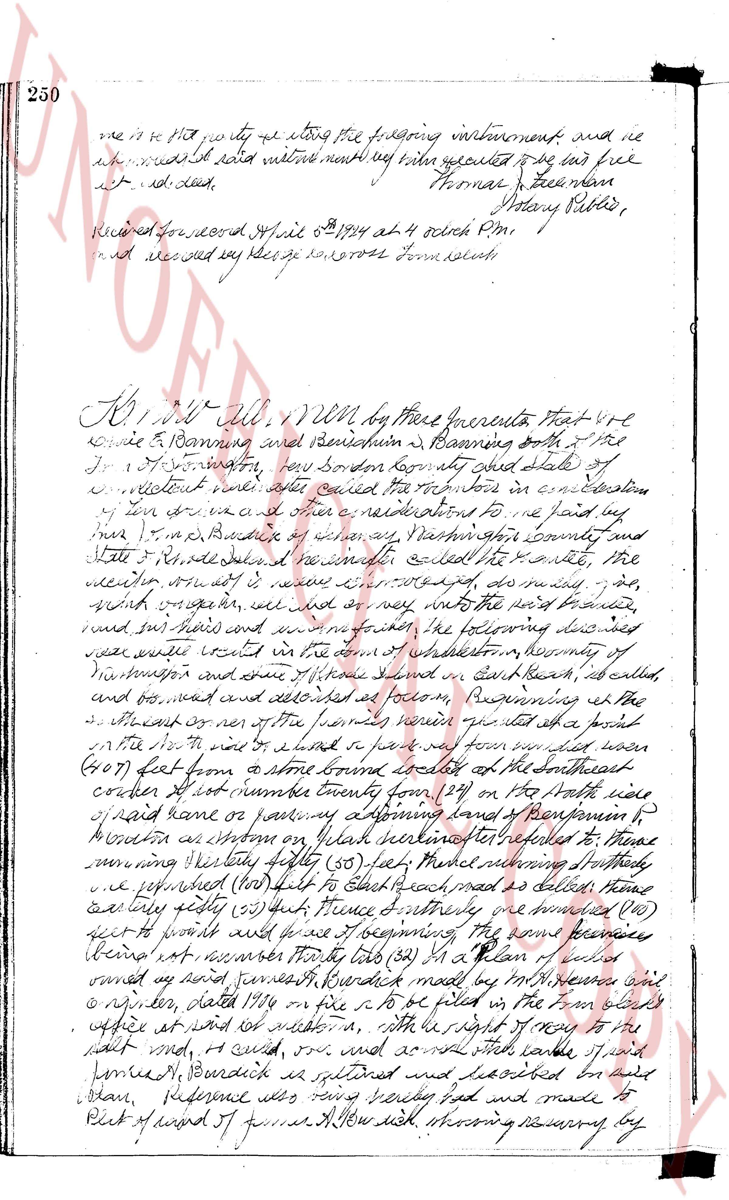
me in the presence of the foregoing instrument and we
the above named witnesses do hereby appoint to be its full
act and deed. Thomas Freeman
Notary Public,
Received for record April 6th 1824 at 4 o'clock P.M.
and recorded by George S. Cross Town clerk
KNOW ALL men by these presents That we
Annie E Banning and Benjamin B Banning both of the
Town of Smithfield, Providence County and state of
Rhode Island have after careful consideration in consultation
of our views and after other considerations to me paid by
his L. T. M. Banning of Albany, Washington County and
State of Rhode Island we hereafter called the Grantee, the
meeting, our act it is now determined, do selling the
said mortgage, we sell and convey into the said grantee,
and his heirs and assigns forever, the following describe
near area vested in the town of Smithfield, in Washington
of Washington and some of those tracts in East Beach, as called,
and bounded and described as follows Beginning at the
S.E corner of one of the parcels herein granted at a point
on the North side of a road & land or parcel of land called town
(207) feet from a stone bound located at the southeast
corner of lot number twenty four (24) on the North side
of said lane or pathway adjoining lands of Benjamin B
Banning as shown on Plan marked hereinafter referred to as Plan
running westerly fifty fifty (50) poles Northwesterly seventy
poles northward (100) poles to East beach road as called, then
eastly forty fifty (50) poles thence northeasterly one hundred (100)
feet to a point and thence northeastly one hundred (100)
feet to a point and thence northwestly the remaining the same premises
Being as described in survey thirty two (32) in a Plan of a lot
owned by said James B Banning made by the surveyor John
R. English, dated July 18th on file in the town clerk
office at said Smithfield, with the right of way to the
salt pond, a canal road, and all other roads public, and
private, Bourdeick is outlined and described on said
Plan, reference also being had and made to
Plot of land of James A Newdick showing reserving by
The page as recorded