The instrument's own words
page 1 · read by Gemma vision
599
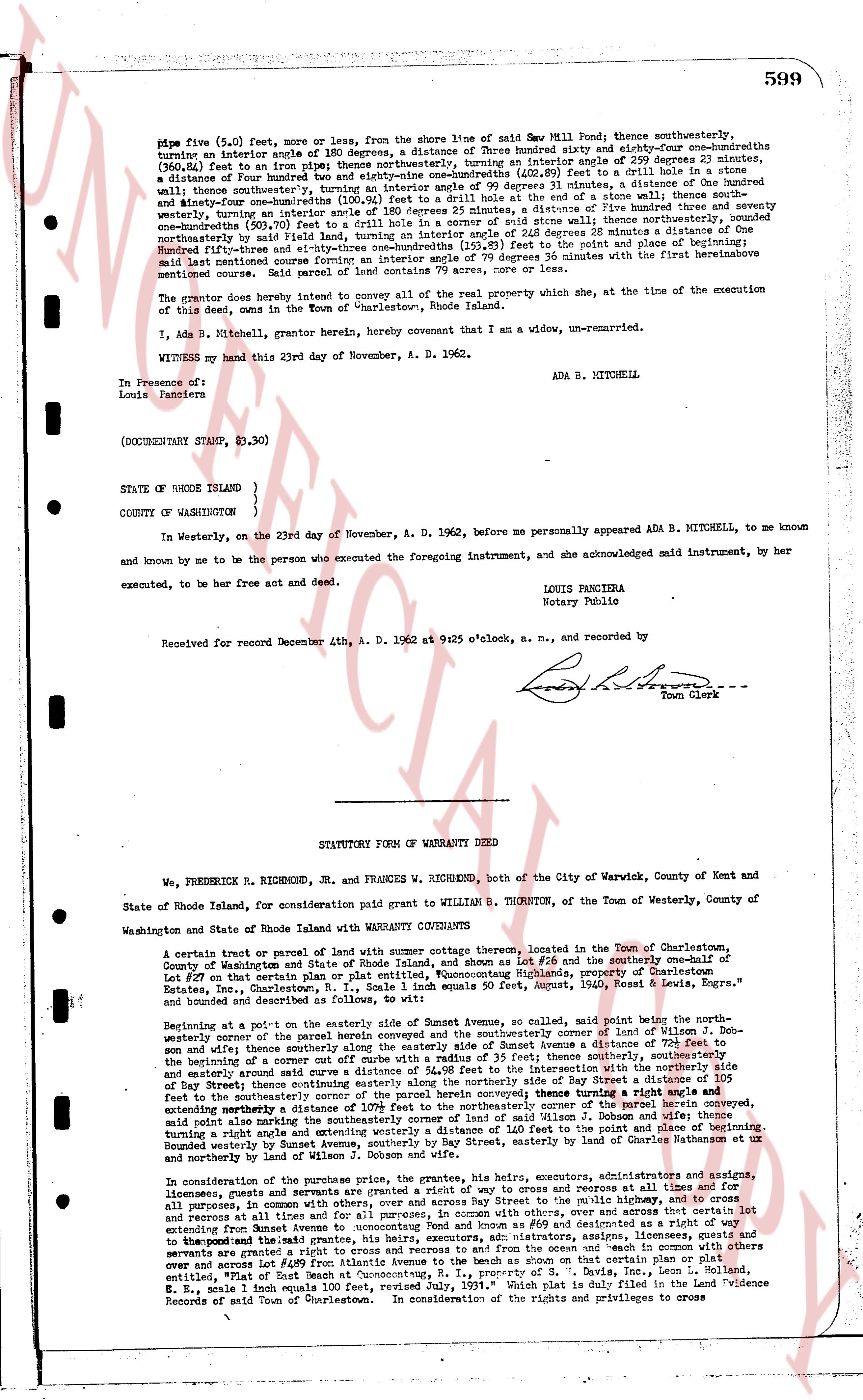
pipe five (5.0) feet, more or less, from the shore line of said Sea Mill Pond; thence southwesterly, turning an interior angle of 180 degrees, a distance of Three hundred eighty and sixty-four one-hundredths feet (380.64 feet) to an iron pipe; thence northwesterly, turning an interior angle of 90 degrees 0 minutes, a distance of Four hundred hundred feet (400.00 feet) to a drill hole in a stone wall; thence southwesterly, turning an interior angle of 99 degrees 31 minutes, a distance of One hundred and thirty-four and one-hundredths feet (134.01 feet) to a drill hole in a stone wall; thence northwesterly, turning an interior angle of 180 degrees 25 minutes, a distance of Five hundred twelve and seventy-one one-hundredths feet (512.71 feet) to an iron pipe; thence northwesterly, turning an interior angle of 28 degrees 28 minutes a distance of One hundred seventy-three and one-hundredths feet (173.01 feet) to the right angle of the road; and thence southwesterly a distance of Five hundred thirty-three and one-hundredths feet (533.01 feet), turning an interior angle of 79 degrees 36 minutes with the first hereinabove mentioned course; Being parcel of land containing 79 acres, more or less, and more.
The grantor does hereby intend to convey all of the real property which she, at the time of the execution of this deed, owns in the Town of Westerly, Rhode Island.
I, Ada B. Mitchell, grantor herein, hereby covenant that I am a widow, un-remarried.
WITNESSED my hand this 23rd day of November, A. D. 1962.
ADA B. MITCHELL
In Presence of:
Louis Panciera
(DOCUMENTARY STAMP, $3.30)
STATE OF RHODE ISLAND )
COUNTY OF WASHINGTON )
In Westerly, on the 23rd day of November, A. D. 1962, before me personally appeared ADA B. MITCHELL, to me known and known by me to be the person who executed the foregoing instrument, and she acknowledged said instrument, by her executed, to be her free act and deed.
LOUIS PANCIERA
Notary Public
Received for record December 4th, A. D. 1962 at 9:25 o'clock, a. m., and recorded by
[Signature]
Town Clerk
----
STATUTORY FORM OF WARRANTY DEED
We, FREDERICK R. RICHMOND, Jr. and FRANCES W. RICHMOND, both of the City of Warwick, County of Kent and State of Rhode Island, for consideration paid grant to WILLIAM B. THORNTON, of the Town of Westerly, County of Washington and State of Rhode Island with WARRANTY COVENANTS
A certain tract or parcel of land with summer cottage thereon, located in the Town of Charlestown, County of Washington and State of Rhode Island, as shown on Plat 26 and the southeasterly one-half of Lot #37 on that plat or map of the "Sea Mill Pond and Quonocutung Highlands, property of Charlestown Estates, Inc., Charlestown, R.I., Scale 1 inch equals 400 feet, signed August, 1950, Rawls, Lewis & Engrs," a bounded and described as follows:
Beginning at a point on the easterly side of Summit Avenue, so called, said point being the northwesternmost corner of the parcel herein conveyed and the southeasterly corner of land of William J. Dobson and wife; thence southeasterly along the shore line of Sea Mill Pond a distance of 400.00 feet to an iron pipe; thence beginning of a corner of a curb with a radius of 35 feet; thence southerly, southeasterly the beginning of a corner of a curb with a radius of 35 feet; thence southwesterly along the southeasterly side of Bay Street a distance of 105 feet; thence southeasterly along a curve a distance of 24.98 feet to the intersection with the southeasterly side of Bay Street; thence easterly a distance of 500 feet to the southeasterly corner of the parcel herein conveyed turning a right angle with a distance of 105 feet southeasterly the northwesternmost corner of the parcel of land of William J. Dobson and wife; thence southeasterly the most southeasterly corner of the land of William J. Dobson and wife; thence turning a right angle and running northwesterly along the shore line of Sea Mill Pond to the point of beginning; Bounded westerly by Summit Avenue, southeasterly by Bay Street, easterly by shores of Charlestown estate or by annexing and westerly by land of William J. Dobson.
In consideration of the premises contained, the grantors, his heirs, executors, administrators, assigns, licensees, guests and servants are granted a right to cross and recross at all times and for all purposes, in common with others, along a way 10 feet wide, parallel to the public highway, running northwesterly extending from Summit Avenue to Quonocutung Pond and running southeasterly from Quonocutung Pond extending from Summit Avenue to Quonocutung Pond for all purposes, in common with others, over and across that certain lot extending from Summit Avenue to Quonocutung Pond and running southeasterly from Quonocutung Pond to the grantors and the grantees, his heirs, executors, administrators, assigns, licensees, guests and servants are granted a right to cross and recross to and from the ocean and "each in common with others over and across a way 10 feet wide, parallel to the public highway, on that certain lot" as shown on the map entitled, "Plat of East Beach at Quonocutung, R. I., property of S. B. Davis, Inc., Leon L. Holland, R. E., scale 1 inch equals 100 feet," reference to said plat is made in said map, and recorded in Evidence Records of said Town of Charlestown. In consideration of the rights and privileges and to cross
page 2 · read by Gemma vision
600
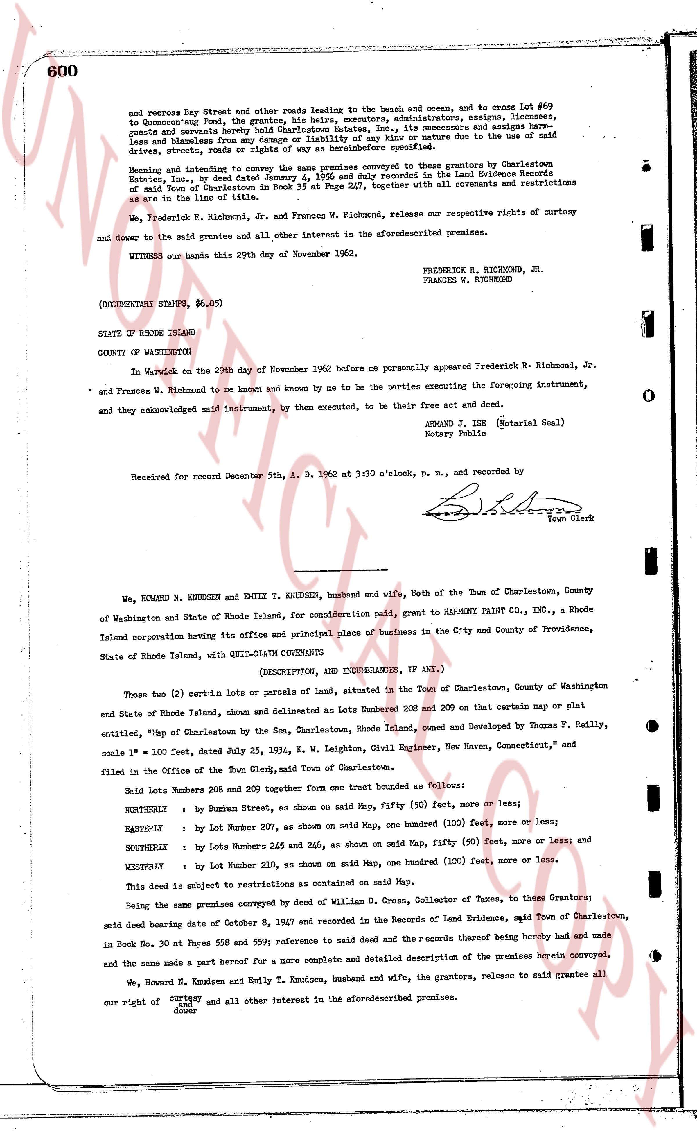
and recess Boy Street and other roads leading to the beach and ocean, and no cross Lot #69 to Quonochcent's Pond, the grantees, his heirs, executors, administrators, assigns, licensees, guests and invitees, hereby release and forever discharge the grantors, their heirs, executors and assigns, from any and all claims and harmless from any damage or liability of any kind or nature due to the use of said drives, streets, roads or rights of way as hereinbefore specified.
Meaning and intending to convey the same premises conveyed to the present grantors by Charlestown Estate, Inc., by deed dated June 1, 1954, recorded in the Land Evidence Books in the Land Evidence Records of said Town of Charlestown in Book 35 at Page 227, together with all covenants and restrictions as are in the line of title.
We, Frederick R. Richmond, Jr. and Frances W. Richmond, release our respective rights of curtesy and dower to the said grantee and all other interest in the aforementioned premises.
WITNESS our hands this 29th day of November 1962.
FREDERICK R. RICHMOND, JR.
FRANCES W. RICHMOND
(DOCUMENTARY STAMPS, $6.05)
STATE OF RHODE ISLAND
COUNTY OF WASHINGTON
In Warwick on the 29th day of November 1962 before me personally appeared Frederick R. Richmond, Jr. and Frances W. Richmond to me known and known by me to be the parties executing the foregoing instrument, and they acknowledged said instrument, by them, executed, to be their free act and deed.
ARMAND J. ISE (Notarial Seal)
Notary Public
Received for record December 5th, A. D. 1962 at 3:30 o'clock, p. m., and recorded by
[Signature]
Town Clerk
----
We, HOWARD N. KNUDSEN and EMILY T. KNUDSEN, husband and wife, both of the Town of Charlestown, County of Washington and State of Rhode Island, for consideration paid, grant to HANKSNY PAINT CO., INC., a Rhode Island corporation having its office and principal place of business in the City and County of Providence, State of Rhode Island, with QUIT-CLAIM COVENANTS
(DESCRIPTION, AND INHURANCES, IF ANY.)
Those two (2) certain lot-s of lands, parceled in situated in the Town of Charlestown, County of Washington and State of Rhode Island, shown and delineated as Lots Number 208 and 209 on that certain map or plat entitled, "Map of Charlestown by the Sea, Charlestown, Rhode Island, owned and Developed by Thomas F. Reilly, scale 1" = 100', dated July 25, 1954, K. W. Leighton, Civil Engineer, New Haven, Connecticut," and filed in the Office of the Town Clerk, said Town of Charlestown.
Said Lots Numbers 208 and 209 together form one tract bounded as follows:
NORTHERLY : by Bunsen Street, as shown on said Map, one fifty (50) feet, more or less;
EASTERLY : by Lot Number 207, as shown on said Map, one hundred (100) feet, more or less;
SOUTHERLY : by Lots Numbers 245 and 246, as shown on said Map, one fifty (50) feet, more or less; and
WESTERLY : by Lot Number 210, as shown on said Map, one hundred (100) feet, more or less.
This Deed subject to restrictions as contained on said Map.
Being the same premises conveyed by deed of William D. Cross, Collector of Taxes, to these Grantors; said deed bearing date of October 8, 1967 and recorded in the Records of Land Evidence, said Town of Charlestown, in Book No. 30 at Pages 588 and 599; reference to said deed and the records thereof being hereby had and made and the same made a part hereof for a more complete and detailed description of the premises herein conveyed.
We, Howard N. Knudsen and Emily T. Knudsen, husband and wife, the grantors, release to said grantee all our right of curtesy and dower and all other interest in the aforementioned premises.
The page as recorded