The instrument's own words
page 1 · read by Gemma vision
598
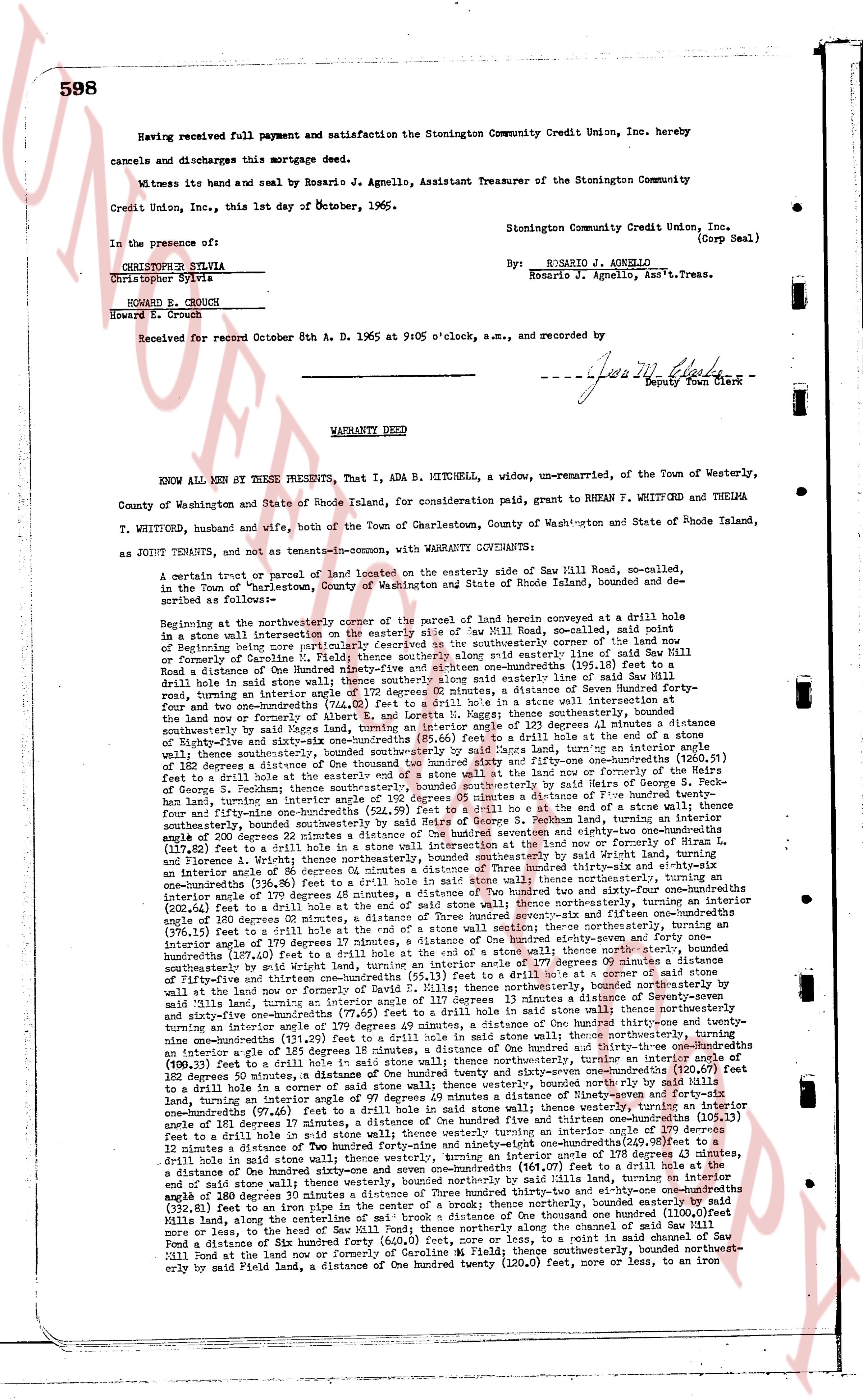
Having received full payment and satisfaction the Stonington Community Credit Union, Inc. hereby
cancels and discharges this mortgage deed.
Witness its hand and seal by Rosario J. Agnello, Assistant Treasurer of the Stonington Community
Credit Union, Inc., this 1st day of October, 1965.
In the presence of:s
CHRISTOPHER SYLVIA
Christopher Sylvia
HOWARD E. CROUCH
Howard E. Crouch
Stonington Community Credit Union, Inc.
(Corp Seal)
By: R. ROSARIO J. AGNELLO
Rosario J. Agnello, Asst'n.Treas.
Received for record October 8th A. D. 1965 at 9:05 o'clock, a.m., and recorded by
[Signature]
Deputy Town Clerk
----
WARRANTY DEED
KNOW ALL MEN BY THESE PRESENTS, That I, ADA B. MITCHELL, a widow, un-remarried, of the Town of Westerly,
County of Washington and State of Rhode Island, for consideration paid, grant to RHEAN F. WHITFORD and THELMA
T. WHITFORD, husband and wife, both of the Town of Charlestown, County of Washington and State of Rhode Island,
as JOINT TENANTS, and not as tenants-in-common, with WARRANTY COVENANTS:
A certain tract or parcel of land located on the easterly side of Saw Mill Road, so-called, in
the Town of "Charlestown," County of Washington and State of Rhode Island, bounded and described as
follows:
Beginning at the northeasterly corner of the parcel of land herein conveyed at a drill hole in
a stone wall intersection in the easterly side of Saw Mill Road, so-called, said point of
Beginning being one hundred ninety-four (194) feet from the northeasterly corner of Saw Mill Road
formerly or commonly of Caroline H. Field; thence southeasterly along said easterly side of Saw Mill Road
a distance of the hundred ninety-four (194) feet to a drill hole in a stone wall intersection, said distance
being a round stone in a stone wall thence southerly along said easterly line of Saw Mill Road
turning an interior angle of 182 degrees 57 minutes, a distance of one hundred ninety-four (194) feet to
a drill hole in a stone wall intersection, said distance being a drill hole in a stone wall intersection at
four and one-quarter inches from the easterly line of Saw Mill Road, thence southeasterly, turning an
interior angle of 182 degrees 43 minutes, a distance of one hundred twenty-three (123) feet to a drill hole
in the land now or formerly of Albert F. and Loretta M. Haggett; thence southeasterly, turning an
interior angle of 180 degrees 12 minutes, a distance of one hundred twenty-three (123) feet to a drill hole
of Ninety-five and sixty-one one-hundredths (95.61) feet to a drill hole in a stone wall, thence southeasterly,
turning an interior angle of 180 degrees 12 minutes, a distance of one hundred twenty-three (123) feet, turning an interior angle
of 182 degrees a distance of One hundred twenty four hundred ninety-one and six-one-hundredths (124.91) feet to a drill hole
in a stone wall, thence southeasterly, turning an interior angle of 180 degrees one and four-tenths (180.4) degrees to a drill hole
of George P. Seahan, thence southeasterly, bounded southeasterly by said walls of George P. Seahan, four
hundred fifty-one hundred ninety-one and six-one-hundredths (451.91) feet to an end of the stone wall thence westerly, turning
an interior angle of 180 degrees 12 minutes, a distance of One hundred twenty four hundred ninety-one and six-one-hundredths (124.91) feet to a drill hole in a stone wall, thence northwesterly, turning
an interior angle of 200 degrees 22 minutes a distance of One hundred seventy eight and eighty-two one-hundredths (178.82) feet to a drill hole in a stone wall, thence northwesterly, turning
an interior angle of 180 degrees 12 minutes, a distance of One hundred twenty-three (123) feet, turning an
interior angle of 180 degrees 12 minutes, a distance of One hundred twenty-three (123) feet, turning an
interior angle of 180 degrees 12 minutes, a distance of One hundred twenty-three (123) feet, turning an
interior angle of 180 degrees 12 minutes, a distance of One hundred twenty-three (123) feet, turning an
interior angle of 180 degrees 12 minutes, a distance of One hundred twenty-three (123) feet, turning an
interior angle of 180 degrees 12 minutes, a distance of One hundred twenty-three (123) feet, turning an
interior angle of 180 degrees 12 minutes, a distance of One hundred twenty-three (123) feet, turning an
interior angle of 180 degrees 12 minutes, a distance of One hundred twenty-three (123) feet, turning an
interior angle of 180 degrees 12 minutes, a distance of One hundred twenty-three (123) feet, turning an
interior angle of 180 degrees 12 minutes, a distance of One hundred twenty-three (123) feet, turning an
interior angle of 180 degrees 12 minutes, a distance of One hundred twenty-three (123) feet, turning an
interior angle of 180 degrees 12 minutes, a distance of One hundred twenty-three (123) feet, turning an
interior angle of 180 degrees 12 minutes, a distance of One hundred twenty-three (123) feet, turning an
interior angle of 180 degrees 12 minutes, a distance of One hundred twenty-three (123) feet, turning an
interior angle of 180 degrees 12 minutes, a distance of One hundred twenty-three (123) feet, turning an
interior angle of 180 degrees 12 minutes, a distance of One hundred twenty-three (123) feet, turning an
interior angle of 180 degrees 12 minutes, a distance of One hundred twenty-three (123) feet, turning an
interior angle of 180 degrees 12 minutes, a distance of One hundred twenty-three (123) feet, turning an
interior angle of 180 degrees 12 minutes, a distance of One hundred twenty-three (123) feet, turning an
interior angle of 180 degrees 12 minutes, a distance of One hundred twenty-three (123) feet, turning an
interior angle of 180 degrees 12 minutes, a distance of One hundred twenty-three (123) feet, turning an
interior angle of 180 degrees 12 minutes, a distance of One hundred twenty-three (123) feet, turning an
interior angle of 180 degrees 12 minutes, a distance of One hundred twenty-three (123) feet, turning an
interior angle of 180 degrees 12 minutes, a distance of One hundred twenty-three (123) feet, turning an
interior angle of 180 degrees 12 minutes, a distance of One hundred twenty-three (123) feet, turning an
interior angle of 180 degrees 12 minutes, a distance of One hundred twenty-three (123) feet, turning an
interior angle of 180 degrees 12 minutes, a distance of One hundred twenty-three (123) feet, turning an
interior angle of 180 degrees 12 minutes, a distance of One hundred twenty-three (123) feet, turning an
interior angle of 180 degrees 12 minutes, a distance of One hundred twenty-three (123) feet, turning an
interior angle of 180 degrees 12 minutes, a distance of One hundred twenty-three (123) feet, turning an
interior angle of 180 degrees 12 minutes, a distance of One hundred twenty-three (123) feet, turning an
interior angle of 180 degrees 12 minutes, a distance of One hundred twenty-three (123) feet, turning an
interior angle of 180 degrees 12 minutes, a distance of One hundred twenty-three (123) feet, turning an
interior angle of 180 degrees 12 minutes, a distance of One hundred twenty-three (123) feet, turning an
interior angle of 180 degrees 12 minutes, a distance of One hundred twenty-three (123) feet, turning an
interior angle of 180 degrees 12 minutes, a distance of One hundred twenty-three (123) feet, turning an
interior angle of 180 degrees 12 minutes, a distance of One hundred twenty-three (123) feet, turning an
interior angle of 180 degrees 12 minutes, a distance of One hundred twenty-three (123) feet, turning an
interior angle of 180 degrees 12 minutes, a distance of One hundred twenty-three (123) feet, turning an
interior angle of 180 degrees 12 minutes, a distance of One hundred twenty-three (123) feet, turning an
interior angle of 180 degrees 12 minutes, a distance of One hundred twenty-three (123) feet, turning an
interior angle of 180 degrees 12 minutes, a distance of One hundred twenty-three (123) feet, turning an
interior angle of 180 degrees 12 minutes, a distance of One hundred twenty-three (123) feet, turning an
interior angle of 180 degrees 12 minutes, a distance of One hundred twenty-three (123) feet, turning an
interior angle of 180 degrees 12 minutes, a distance of One hundred twenty-three (123) feet, turning an
interior angle of 180 degrees 12 minutes, a distance of One hundred twenty-three (123) feet, turning an
interior angle of 180 degrees 12 minutes, a distance of One hundred twenty-three (123) feet, turning an
interior angle of 180 degrees 12 minutes, a distance of One hundred twenty-three (123) feet, turning an
interior angle of 180 degrees 12 minutes, a distance of One hundred twenty-three (123) feet, turning an
interior angle of 180 degrees 12 minutes, a distance of One hundred twenty-three (123) feet, turning an
interior angle of 180 degrees 12 minutes, a distance of One hundred twenty-three (123) feet, turning an
interior angle of 180 degrees 12 minutes, a distance of One hundred twenty-three (123) feet, turning an
interior angle of 180 degrees 12 minutes, a distance of One hundred twenty-three (123) feet, turning an
interior angle of 180 degrees 12 minutes, a distance of One hundred twenty-three (123) feet, turning an
interior angle of 180 degrees 12 minutes, a distance of One hundred twenty-three (123) feet, turning an
interior angle of 180 degrees 12 minutes, a distance of One hundred twenty-three (123) feet, turning an
interior angle of 180 degrees 12 minutes, a distance of One hundred twenty-three (123) feet, turning an
interior angle of 180 degrees 12 minutes, a distance of One hundred twenty-three (123) feet, turning an
interior angle of 180 degrees 12 minutes, a distance of One hundred twenty-three (123) feet, turning an
interior angle of 180 degrees 12 minutes, a distance of One hundred twenty-three (123) feet, turning an
interior angle of 180 degrees 12 minutes, a distance of One hundred twenty-three (123) feet, turning an
interior angle of 180 degrees 12 minutes, a distance of One hundred twenty-three (123) feet, turning an
interior angle of 180 degrees 12 minutes, a distance of One hundred twenty-three (123) feet, turning an
interior angle of 180 degrees 12 minutes, a distance of One hundred twenty-three (123) feet, turning an
interior angle of 180 degrees 12 minutes, a distance of One hundred twenty-three (123) feet, turning an
page 2 · read by Gemma vision
598
Having received full payment and satisfaction the Stonington Community Credit Union, Inc. hereby
cancels and discharges this mortgage deed.
Witness its hand and seal and by Rosario J. Agnello, Assistant Treasurer of the Stonington Community
Credit Union, Inc., this 1st day of October, 1965.
Stonington Community Credit Union, Inc.
(Corp Seal)
In the presence of:
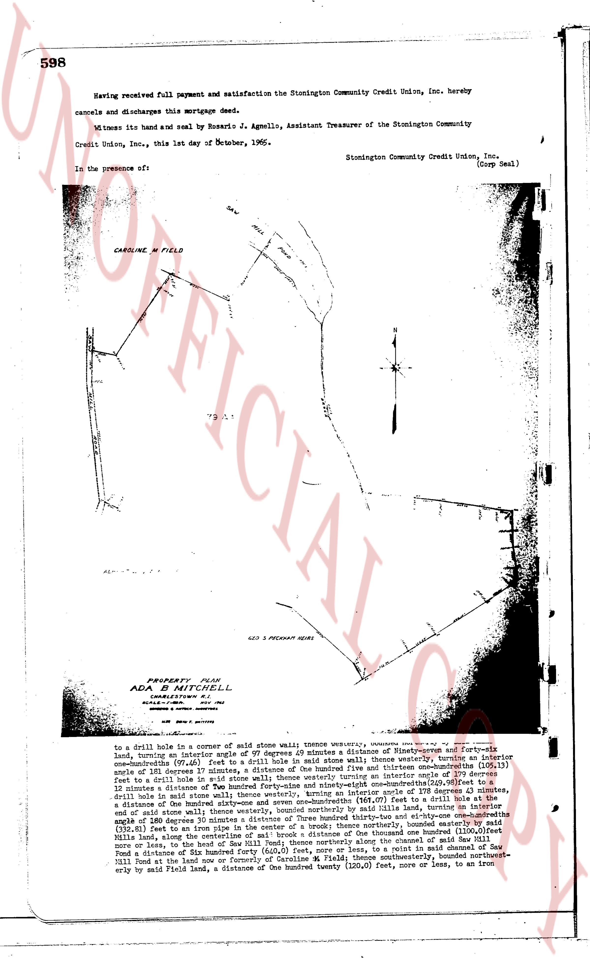
CAROLINE M FIELD
[Map Image]
PROPERTY PLAN
ADA MITCHELL
CHARLESTOWN R.I.
SCALE= 1" = 100'
SURVEYED BY: [?] 1962
[?] [?] [?]
S.R.W. BROWNE, R.S.
to drill hole in a corner of stone wall; thence westerly, [?] degrees forty-six
land, turning an interior angle of 97 degrees 49 minutes a distance of Ninety-seven and three-hundredths
one-hundredths (97.03) feet to a drill hole in a stone wall; thence westerly, turning an interior angle
of 110 degrees 17 minutes, a distance of one hundred and thirteen one-hundredths (113.01) feet to
a drill hole in said stone wall; thence westerly, turning an interior angle of 112 degrees 12
minutes a distance of one hundred twenty-six and ninety-eight one-hundredths (126.98) feet to a
drill hole in said stone wall; thence westerly, turning an interior angle of 115 degrees 11 minutes, a
drill hole in stone wall; thence westerly, turning an interior angle of 118 degrees 11 minutes, a
distance of One hundred eighty-six and one-hundredths (186.01) feet to a drill hole at the
distance of One hundred eighty-six and one-hundredths (186.01) feet to a drill hole at the
end of said stone wall; thence westerly, bounded northerly by said Mills land, turning an interior
angle of 108 degrees 35 minutes, a distance of three hundred twenty-one one-hundredths
(321.01) feet to an iron pipe in the center of a brook; thence northerly, bounded easterly by said Mills
land, along the center of said brook, a distance of one thousand one-hundredths (1100.0) feet
more or less, to the head of Sew Mill Pond; thence northerly along the channel of said Sew Mill
Pond a distance of one hundred 35 degrees 11 minutes, a distance of one hundred 35 degrees 11 minutes, a
Sew Mill Pond at the land now or formerly of Caroline M Field; thence southwesterly, bounded northwest-
erly by said Field land, a distance of One hundred twenty (120.0) feet, more or less, to an iron
page 3 · read by Gemma vision
599
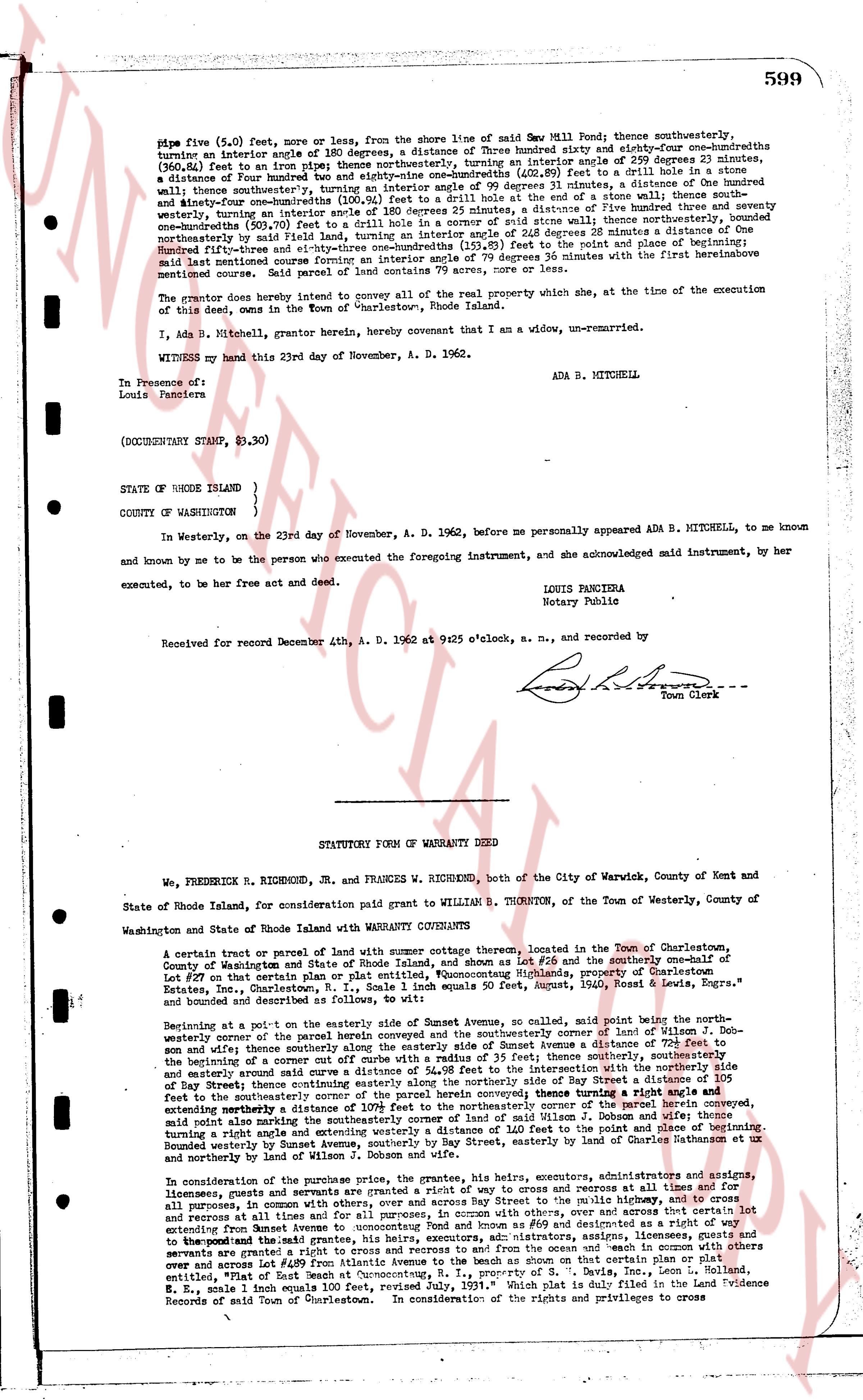
size five (5.0) feet, more or less, from the shore line of said Sea Mill Pond; thence southwesterly, turning an interior angle of 180 degrees, a distance of Three hundred eighty and sixty-four one-hundredths feet (380.64 feet) to an iron pipe; thence northwesterly, turning an interior angle of 90 degrees 0 minutes, a distance of Four hundred hundred feet (400.00 feet) [?] (402.89 feet) to drill a hole in a stone wall; thence southwesterly, turning an interior angle of 99 degrees 31 minutes, a distance of One hundred and thirty-four and zero one-hundredths feet (134.00 feet) to a stone wall; thence southwesterly, turning an interior angle of 180 degrees 25 minutes, a distance of Five hundred twelve and seventy-one one-hundredths feet (512.71 feet) to an iron pipe; thence southwesterly, turning an interior angle of 26 degrees 28 minutes a distance of One hundred seventy-three and zero one-hundredths feet (173.00 feet) to the right angle of the road and thence southwesterly five hundred thirty-three and eighty-three one-hundredths feet (533.83 feet) turning an angle of 79 degrees 36 minutes with the first hereinabove mentioned course to the beginning. Said parcel of land contains 79 acres, more or less, and is subject to
The grantor does hereby intend to convey all of the real property which she, at the time of the execution of this deed, owns in the Town of Westerly, Rhode Island.
I, Ada B. Mitchell, grantor herein, hereby covenant that I am a widow, un-remarried.
WITNESSED my hand this 23rd day of November, A. D. 1962.
ADA B. MITCHELL
In Presence of:
Louis Panciera
(DOCUMENTARY STAMP, $3.30)
STATE OF RHODE ISLAND )
COUNTY OF WASHINGTON )
In Westerly, on the 23rd day of November, A. D. 1962, before me personally appeared ADA B. MITCHELL, to me known and known by me to be the person who executed the foregoing instrument, and she acknowledged said instrument, by her act executed, to be her free act and deed.
LOUIS PANCIERA
Notary Public
Received for record December 4th, A. D. 1962 at 9:25 o'clock, a. m., and recorded by
[Signature]
Town Clerk
----
STATUTORY FORM OF WARRANTY DEED
We, FREDERICK R. RICHMOND, Jr. AND FRANCES W. RICHMOND, both of the City of Warwick, County of Kent and State of Rhode Island, for consideration paid grant to WILLIAM B. THORNTON, of the Town of Westerly, County of Washington and State of Rhode Island with WARRANTY COVENANTS
A certain tract or parcel of land with summer cottage thereon, located in the Town of Charlestown, County of Washington and State of Rhode Island, being the whole of Lot 256 and the southerly one-half of Lot 257 on that area or parcel of land known as " noncommutative Highlands, property of Charleston Estates, Inc., Charlestown, R.I., in Scale 1 inch equals 400 feet, August 1950, Rawls, Lewis & Engs," and bounded and described as follows:
Beginning at a point on the easterly side of Sunset Avenue, so called, said point being the northeasterly corner of the parcel herein conveyed and the southwesterly corner of the land of William J. Dobson and wife; thence southerly along the easterly side of Sunset Avenue a distance of 110.00 feet to the beginning of a corner of a curved off curve with a radius of 35 feet; thence southerly, southwesterly and easterly around said curve a distance of 24.98 feet to the intersection with the easterly side of Bay Street; thence easterly around a similar curve a distance of 24.98 feet along the easterly side of Bay Street a distance of 105 feet to the southerly corner of the parcel herein conveyed thence turning a right angle and running southwesterly extending southwesterly a distance of 110.00 feet to the southeasterly corner of the parcel herein conveyed, turning a right angle and running westerly 310.00 feet to the northeasterly corner of the land of William J. Dobson and wife thence turning a right angle and running northerly 110.00 feet to the point of beginning; bounded westerly by Sunset Avenue, southerly by Bay Street, easterly by estates of Charles Rathbun et ux and northerly by land of William J. Dobson and wife.
In consideration of the premises, the grantors, the grantees, his heirs, executors, administrators and assigns, licensees, guests and servants are granted a right by way of quit claim to cross and re-cross at all times and for all purposes, in common with others, along a way 20 feet wide, parallel to the public highway known as Sunset Avenue extending from Sunset Avenue to noncommutative Highlands and running northwesterly, in common with others, and across and over that certain lot extending from Sunset Avenue to noncommutative Highlands and running northwesterly, the grantees, his heirs, executors, administrators, assigns, licensees, guests and servants are granted a right to cross and re-cross to and from the ocean and "each in common with others over and across a way 20 feet wide, parallel to the public highway known as Bay Street, and running northwesterly, entitled "Plat of East Beach at Charlestown, R. I., property of S. B. Davis, Inc., Leon L. Holland, R. E., scale 1 inch equals 100 feet," reference to said plat is made in said Warranty Deed and Evidence Record of said Town of Charlestown. In consideration of the rights and privileges and to cross
The page as recorded